
Beginner Off-Road Trails
Near Clay, New York
Explore All Beginner Trails Near Clay, New York
Beginner Off-Road Trails Near Clay, New York
Discover the best beginner-friendly off-road trails near you. These easier, lower-rated trails are a great place to start — browse trail maps, check difficulty ratings, and find your next adventure.
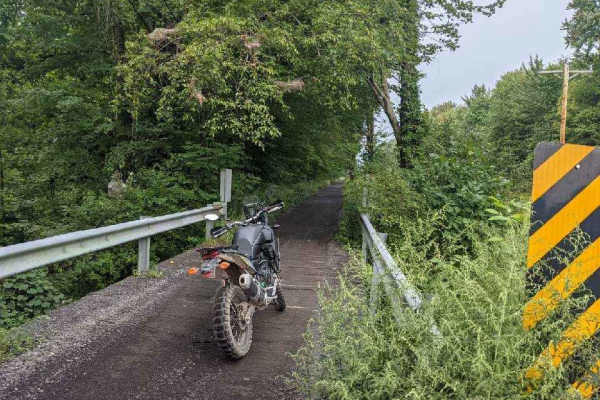
Oswego Recreational Trail
The Oswego Recreational Trail is an old railroad bed with various surface types and old road millings. Very flat with some whoops and potholes in places. It's a nice easy ride through wooded, shaded areas and runs through the three-mile bay wildlife area. There are a couple of restaurants, bars, and...
Learn more about Oswego Recreational Trail
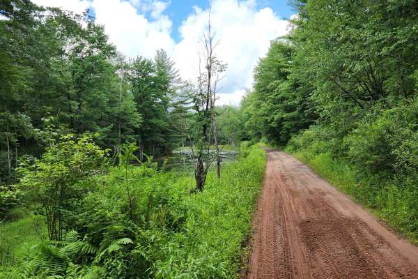
Happy Valley Road
Stony loamy trail connecting Route 26 and Stone Hill Road. The road goes through Happy Valley Wildlife Management Area. There is a pull-off access to Whitney Pond for fishing, hiking, or viewing wildlife. This road is part of the Oswego County ATV club so use caution for oncoming ATV traffic.
Learn more about Happy Valley Road
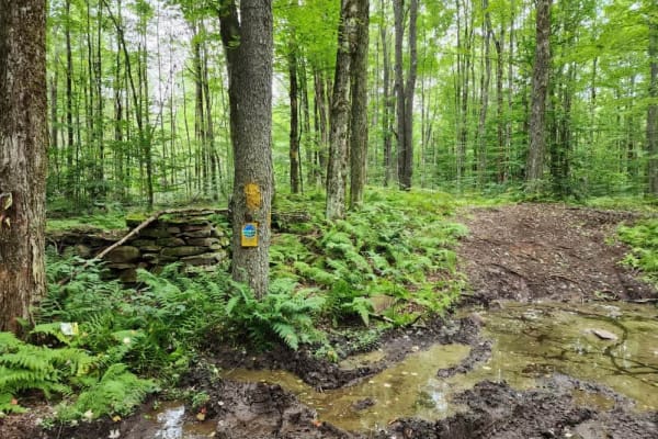
Britton Road
Britton Road is a well-groomed and maintained trail leading into Happy Valley WMA. This trail is now marked as complete at the tee in the road. If you go left at the tee, you will encounter a small bridge that is out. If you go right, the trail continues on for a while under the same conditions as y...
Learn more about Britton Road
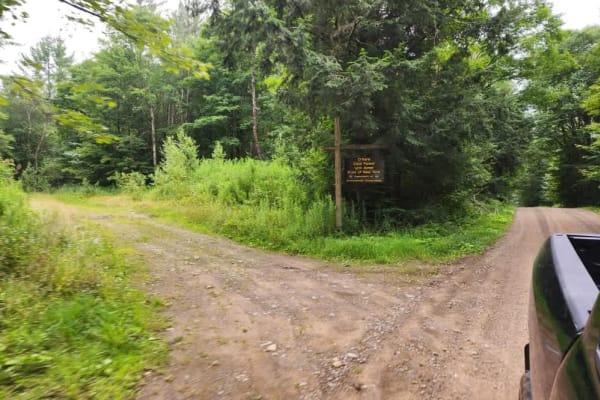
O'Hara Road
This forest access road is perfect for going for a drive when camping around the Redfield Reservoir. This is a great drive to view some wildlife or take a short hike on the one trail present in the forest. Be aware of active logging that often happens in this area. The road is in very good condition...
Learn more about O'Hara Road

Morgan Hill
The route is through Morgan Hill State Forest on seasonal roads. The road is gravel, single-lane, and well-maintained. There are multiple scenic views toward Labrador Hollow and numerous side roads and hiking trails. The main road is safe for any vehicle, while an SUV is recommended for the side ...
Learn more about Morgan Hill
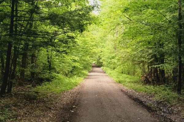
Brake Hill Road
This is a seasonal road that runs the ridge. Lots of wide-open views and nice cool woods that provide a nice cool ride when it's hot in the summer. Easy drive with mild potholes and mud puddles. There are some hiking trails that are part of the Finger Lakes Trails System with parking on the side of ...
Learn more about Brake Hill Road
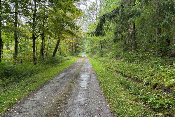
Tioughnioga Wildlife Management Area
This route covers seasonal roads with many sections that are washed out or have very low-hanging branches. The route is less maintained than many others in the area, making driving more interesting. The two-track feels like a forest road and while easily navigated, it is much tighter in spots than o...
Learn more about Tioughnioga Wildlife Management Area
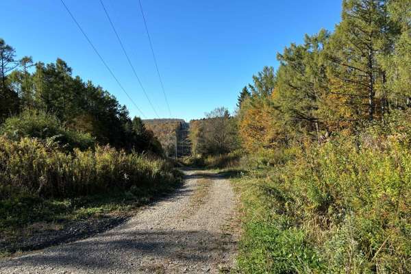
Eaton Hill Road
This route leads into the roads at Morgan Hill and provides views of the valley as it winds through several fields and forested sections. The route can be accessed to enter or leave Morgan Hill. The trail is a well-maintained gravel road and can be accessed from the main road in Morgan Hill or used...
Learn more about Eaton Hill Road
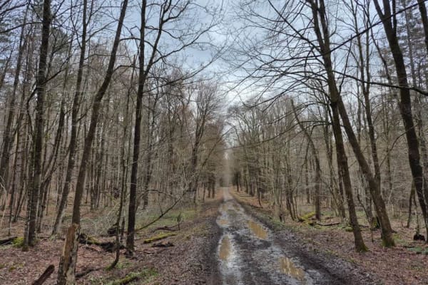
Gubbins Road
This is a mildly challenging trail that is multi-use. The trail is a snowmobile trail in the wintertime. You will experience rocky sections of this trail along with some mud, depending on the time of year or the amount of rain that has fallen. There is plenty of history in ruins along this path if y...
Learn more about Gubbins Road
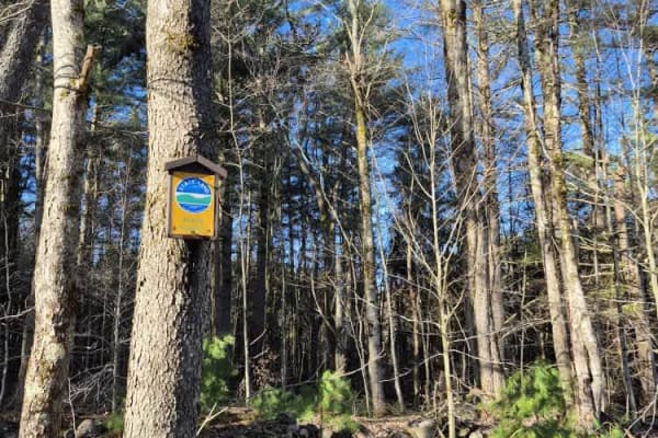
Houlahan Road
This is a seasonal Road through state forest lands. This is a pass-through trail to many others in the area. This road becomes a snowmobile trail in the winter, so do not attempt to pass down it after the first few snowfalls. Respect the trail in all seasons. NO SXS OR ATVs are allowed on this or an...
Learn more about Houlahan Road
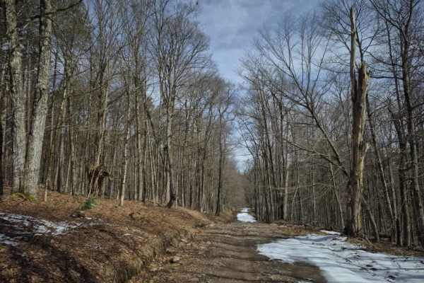
Hanifin Road
This seasonal road cuts through the heart of the Swancott Hill State Forest. Offering many views of old farmsteads that dotted the region, along with some old bridges and dam ruins. There is an old graveyard along with two campsites towards the north end of the track. This is a fairly well-travelled...
Learn more about Hanifin Road
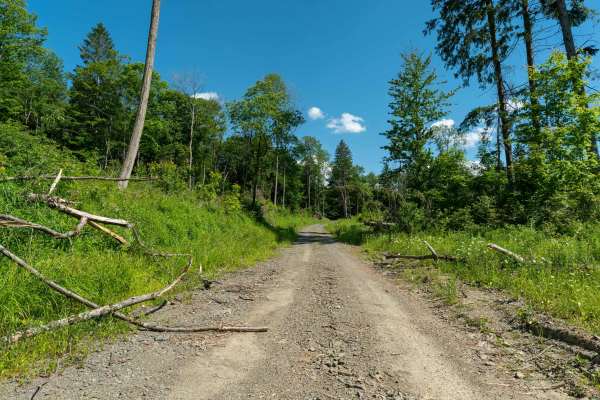
Chickadee Howl Road
This small connector road links Morgan Hill Road and Power Line Road, curving back to rejoin Morgan Hill Road. It begins in an open logged clearing that can be filled with wildflowers in the summer, before climbing gently uphill at a mild grade. The surface is mostly gravel with a few puddles and mi...
Learn more about Chickadee Howl Road
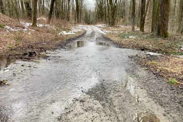
Bear Swamp
Seasonal two-track that winds through the Bear Swamp State Forest. During Spring and Fall, the trail is very wet with water crossings up to four inches. During the summer it provides a scenic trek through a deciduous forest. Trail has some rocks over four inches, and in the fall and spring can have ...
Learn more about Bear Swamp
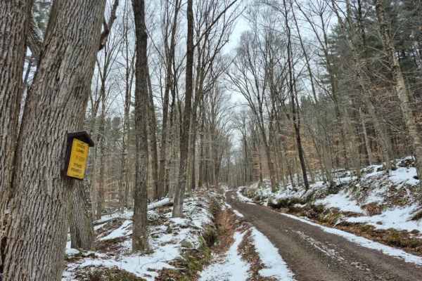
Fall Brook State Forest PFAR
Follow this old wagon road through the Southern Tughill region, where you will see many stone foundation ruins and stone walls. You will come across many rutted areas, particularly on the hills, so take your tim,e and I recommend airing down to make the rocky sections more comfortable for you and yo...
Learn more about Fall Brook State Forest PFAR
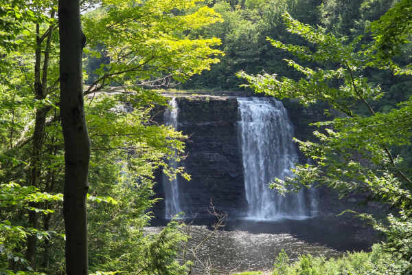
Altmar ATV-SxS Route
This is a well-used route for ATV and SxS users to get from Barnes Corners/Lewis County to Altmar in Oswego County, connecting to ATV club trails there. The route is mostly gravel, seasonal use, town roads with a few short sections of paved roads and some off-road trails, and is the only ATV-legal ...
Learn more about Altmar ATV-SxS Route
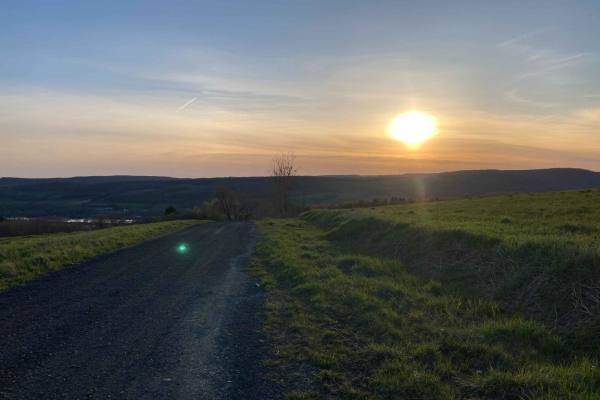
Sunset Hill in Homer
These are gravel roads that lead to a single two-track. The two-track winds through fields and woods. In the summer, there is a long stretch covered in a full canopy. In the winter, much of this route turns into a snowmobile track and is off-limits to full-size vehicles. The full route is on seasona...
Learn more about Sunset Hill in Homer
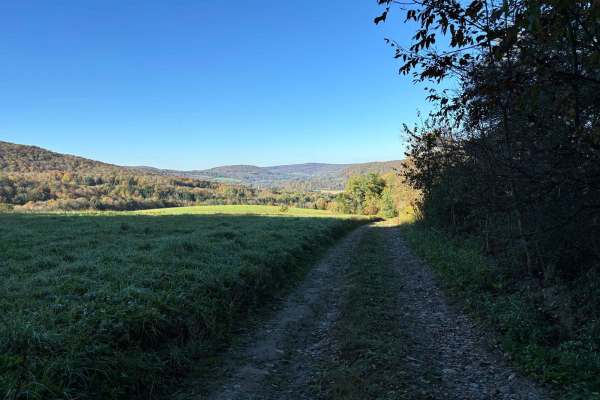
Cuyler Hill PFAR
This is a two-track seasonal gravel road. The trail is not well maintained and is generally rutted with sections of softball-sized rocks. It is a short out-and-back trail and starts with a gentle hill climb over the rocks, ruts, and washouts. The end of the trail is in the forest and is often muddy ...
Learn more about Cuyler Hill PFAR
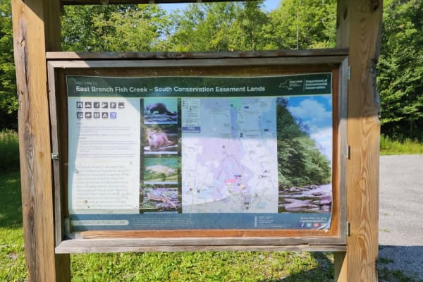
Camp 4 Road
This out and back ends at a parking area and fishing access site built by the NYS Department of Conservation. The trail is a mix of gravel and dirt roads with plenty of opportunity for wildlife viewing. There are a couple of primitive camping spots right off the trail that can be utilized. This road...
Learn more about Camp 4 Road
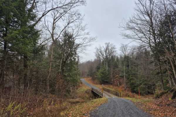
Fall Brook Easement Road
Newly refurbished as of 2025, this conservation easement access road is very well maintained with a new bridge crossing over Fall Brook. Part of the trail is used as a snowmobile trail in the winter, so I do not recommend traversing this in the winter season. The gate on the main road may be closed.
Learn more about Fall Brook Easement Road
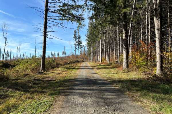
Maxon Creek State Forest
This seasonal forest access road is a quick out-and-back route that can be combined with other trails in the area. The single-track road winds through dense forest, offering a scenic drive with several viewpoints and hiking spots along the way. The road is well-maintained and gravel-covered, with se...
Learn more about Maxon Creek State Forest
Beginner ATV trails near Clay, New York
Explore ATV-friendly trails near you. These trails are accessible for vehicles up to 50 inches wide, perfect for ATVs and smaller off-road machines.
Oswego Recreational Trail
The Oswego Recreational Trail is an old railroad bed with various surface types and old road millings. Very flat with some whoops and potholes in places. It's a nice easy ride through wooded, shaded areas and runs through the three-mile bay wildlife area. There are a couple of restaurants, bars, and...
Learn more about Oswego Recreational Trail
Happy Valley Road
Stony loamy trail connecting Route 26 and Stone Hill Road. The road goes through Happy Valley Wildlife Management Area. There is a pull-off access to Whitney Pond for fishing, hiking, or viewing wildlife. This road is part of the Oswego County ATV club so use caution for oncoming ATV traffic.
Learn more about Happy Valley Road
Altmar ATV-SxS Route
This is a well-used route for ATV and SxS users to get from Barnes Corners/Lewis County to Altmar in Oswego County, connecting to ATV club trails there. The route is mostly gravel, seasonal use, town roads with a few short sections of paved roads and some off-road trails, and is the only ATV-legal ...
Learn more about Altmar ATV-SxS Route
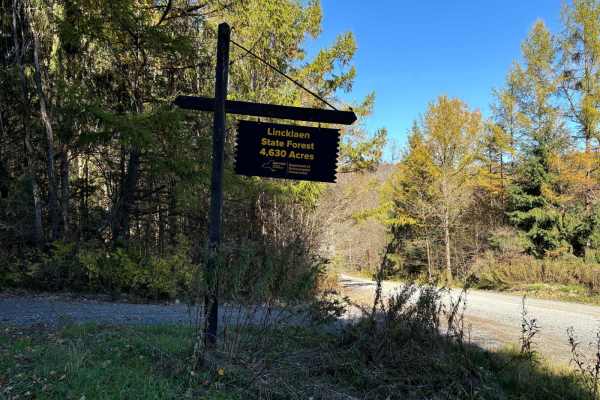
Linklaen State Forest
This route consists of seasonal gravel roads that are generally well-maintained in the summer. During the winter the roads are used for snowmobile trails. The roads lead to several side routes that are two-tracks, most are out-and-back routes and will add adventure to the ride. The main road is easi...
Learn more about Linklaen State Forest
Beginner UTV/side-by-side trails near Clay, New York
Find UTV and side-by-side trails near you. These trails accommodate vehicles up to 60 inches wide, ideal for UTVs, side-by-sides, and wider off-road rigs.
Oswego Recreational Trail
The Oswego Recreational Trail is an old railroad bed with various surface types and old road millings. Very flat with some whoops and potholes in places. It's a nice easy ride through wooded, shaded areas and runs through the three-mile bay wildlife area. There are a couple of restaurants, bars, and...
Learn more about Oswego Recreational Trail
Happy Valley Road
Stony loamy trail connecting Route 26 and Stone Hill Road. The road goes through Happy Valley Wildlife Management Area. There is a pull-off access to Whitney Pond for fishing, hiking, or viewing wildlife. This road is part of the Oswego County ATV club so use caution for oncoming ATV traffic.
Learn more about Happy Valley Road
Altmar ATV-SxS Route
This is a well-used route for ATV and SxS users to get from Barnes Corners/Lewis County to Altmar in Oswego County, connecting to ATV club trails there. The route is mostly gravel, seasonal use, town roads with a few short sections of paved roads and some off-road trails, and is the only ATV-legal ...
Learn more about Altmar ATV-SxS Route
Linklaen State Forest
This route consists of seasonal gravel roads that are generally well-maintained in the summer. During the winter the roads are used for snowmobile trails. The roads lead to several side routes that are two-tracks, most are out-and-back routes and will add adventure to the ride. The main road is easi...
Learn more about Linklaen State Forest
The onX Offroad Difference
onX Offroad combines trail photos, descriptions, difficulty ratings, width restrictions, seasonality, and more in a user-friendly interface. Available on all devices, with offline access and full compatibility with CarPlay and Android Auto. Discover what you're missing today!
Open Trail Map