
Beginner Off-Road Trails
Near Charleston View, California
Explore All Beginner Trails Near Charleston View, California
Beginner Off-Road Trails Near Charleston View, California
Discover the best beginner-friendly off-road trails near you. These easier, lower-rated trails are a great place to start — browse trail maps, check difficulty ratings, and find your next adventure.
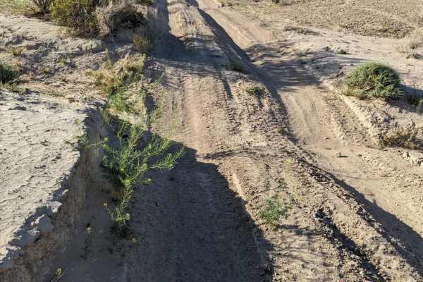
Old Spanish Trail
This is a fun trail from the south end of Pahrump out to Prairie Fire, formerly known as Front Sight Road. From Front Sight Rd you can go right and head towards Prairie Fire, head left towards Tecopa Highway, or go straight across the road to Cathedral Canyon. This is mostly an easy desert trail wit...
Learn more about Old Spanish Trail
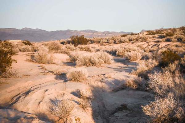
5 Horsepower Trail
This short single track is located in the BLM land southeast of Pahrump, NV as part of a bigger trail system full of fast, fun, and flowy single tracks. Starting from the west end of this trail, the trail departs from a graded jeep road where there is an abandoned red 5 horsepower lawnmower thing wi...
Learn more about 5 Horsepower Trail
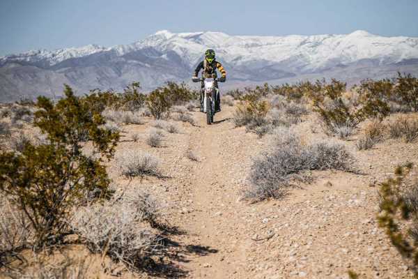
Pants Trail
The Pants Trail is probably one of the more popular trails in this trail system SE of Pahrump, NV. It's a fun and flowy 6-mile trail that has fewer loose rocks than the rest of the trails in the area. This is a faster trail because it's mostly smooth, straight, and flat. From the south trailhead, it...
Learn more about Pants Trail
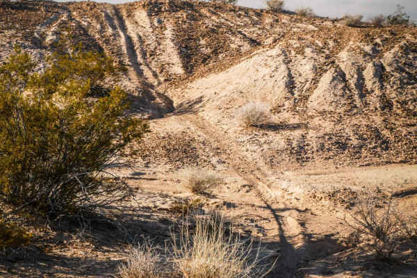
Andy Tk2
The Andy Tk2 trail is a fast and flowy ride through a mix of soft bentonite dirt hills and hardpack single track. The trail flows up and over these hills and into ravines, through a wide open desert landscape full of small bushes and cacti. The south end of the trail begins at the intersection with ...
Learn more about Andy Tk2
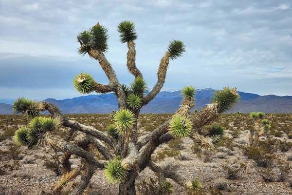
Hafen Spanish to Old Spanish
This trail is between Mountain Springs and Pahrump, just outside of Las Vegas a quick 45-minute drive west on N-160 Blue Diamond Highway. Which will turn into the Pahrump Valley Highway. Turning Left off the highway onto Tecopa we drove about a mile and the trailhead come up on your left. If you con...
Learn more about Hafen Spanish to Old Spanish
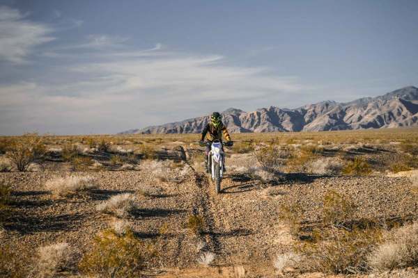
Al's Street
Al's Street is a 5-mile single track on the north side of Tecopa Road in the BLM land southeast of Pahrump, NV. The south end of the trail is accessed off of Front Site Road and starts right at the edge of the pavement. There isn't a staging area right at the trailhead, so you'll most likely want to...
Learn more about Al's Street
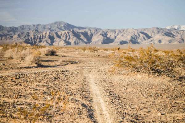
Front Site Overlook
This short trail is a mix of single track and road on BLM land that goes past the Front Site Firearms Training Institute. It's a mix of hard pack dirt with loose rock, graded jeep road, bentonite hills, and softer sandier trail. From the north end, it starts on a jeep road, but the single track peel...
Learn more about Front Site Overlook
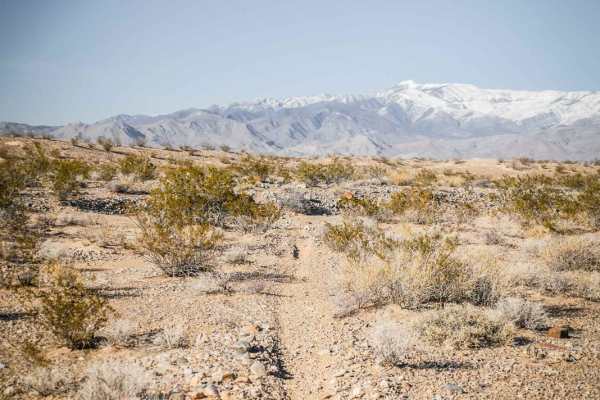
Andy Tk3
This short single track is a fun ride in the Pahrump BLM through a wide-open desert landscape full of Yucca and Joshua Trees. It's a fast and flowy single track that is mostly smooth and easy. It crosses several sudden dips into ravines that you have to watch out for. The south end of this trail com...
Learn more about Andy Tk3
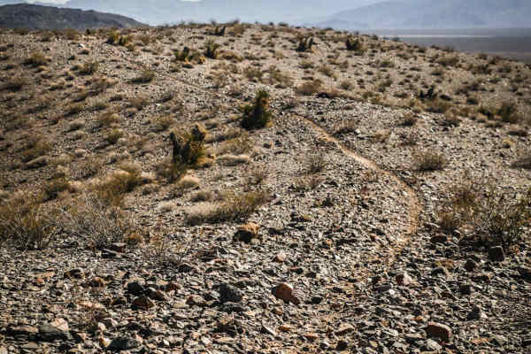
Ridge Trail
The Ridge Trail is a single-track trail starting off of Sandy Valley Fwy, a jeep road that starts off of Tecopa Road, in the BLM area southeast of Pahrump, NV. The northern trailhead starts on soft bentonite dirt with a few whoops. It turns into a rocky wash and steadily starts to gain some elevatio...
Learn more about Ridge Trail
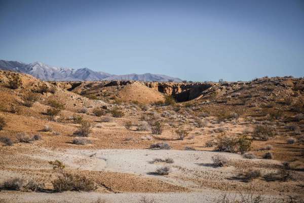
Pants Trail East
Pants Trail East is one of several fast and fun desert single tracks in this trail system SE of Pahrump, NV accessed off of Tecopa Road. This one is very similar to Pants Trail and can be ridden in connection with the Pants Loop and Andys TK2 and 3 for a fun loop. From the north end of the trail, it...
Learn more about Pants Trail East
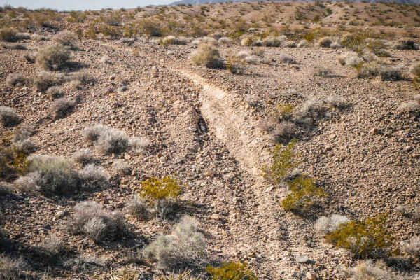
Shorts Trail
Ride this fun short single track to connect the Ridge Trail to the Pants Trail and make a fun day ride in this trail system southeast of Pahrump, NV. This is a narrow single track with a mix of soft dirt and hard-packed dirt covered in small loose sharp rocks. Some sections of the trail are smooth a...
Learn more about Shorts Trail
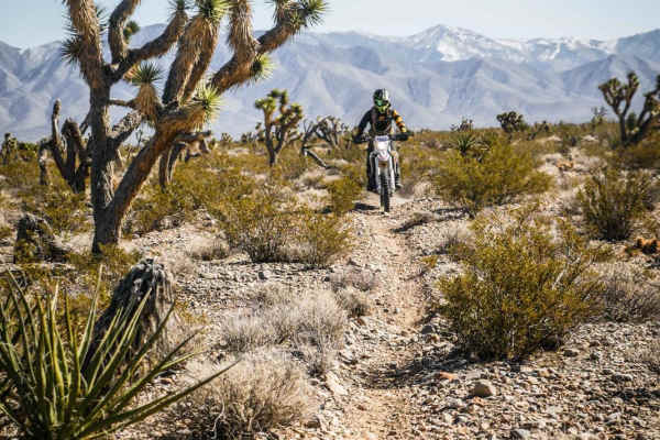
Pants Loop
The Pant's Loop is one of the longer trails in this trail system, starting off of Cathedral Canyon Road and ending on Pahrump Road. It's a fast desert trail running through a Joshua Tree Forest with rugged desert mountains on all sides of you. The trail is narrow; only a foot wide or tire wide at pa...
Learn more about Pants Loop
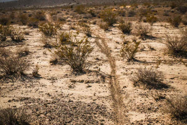
Ridge Connector
This is a short connector trail used to connect the Ridge Trail to the Pants Loop. Although only 3 miles long, it runs through a variety of terrain, including a mix of soft dirt, sandier dirt, and hard-packed dirt with loose rock. It dips in and out of rocky ravines and washes and also runs elevated...
Learn more about Ridge Connector
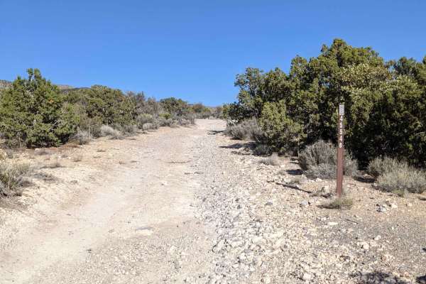
Pahrump to Mountain Springs
Mountain Springs is located between Pahrump and Las Vegas and is accessible from Pahrump by trail. The trail runs Southeast and Southwest through the Toiyabe National Forest and is an easy off-road drive through beautiful terrain. On this drive, You will step outside the typical desert landscape and...
Learn more about Pahrump to Mountain Springs
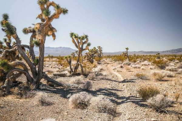
Pants Connector
The Pants Connector Trail is an 8.6-mile single-track connection between the Pants Loop Trail and the Ridge Trail. Riding NE to SW, it departs from the east end of the Pants Loop at an intersection marked with a cairn and heads southwest. The beginning of the trail is hardpacked dirt with small loos...
Learn more about Pants Connector
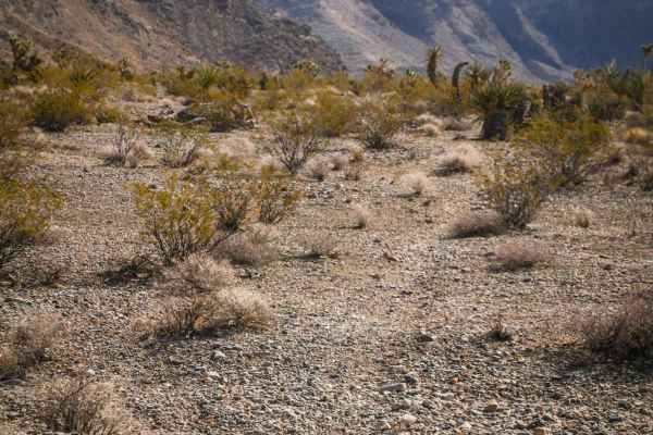
Roosters Course
Ride this fun, fast, and flowy singletrack through rolling desert hills in a Joshua Tree Forest beneath the Spring Mountains. The trail dips in and out of ravines and drops into gravel washes with small loose rocks. It has some small loose climbs out of the ravines but doesn't have any significant o...
Learn more about Roosters Course
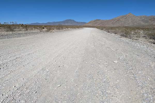
South Wheeler Pass Road
South Wheeler Pass Road is an ideal, scenic route for beginner offroaders and families seeking a gentle introduction to Nevada’s desert landscape, offering stunning panoramic views of the Pahrump Valley and Wheeler Wash. Spanning approximately 7.6 miles, this trail begins at the intersection of High...
Learn more about South Wheeler Pass Road
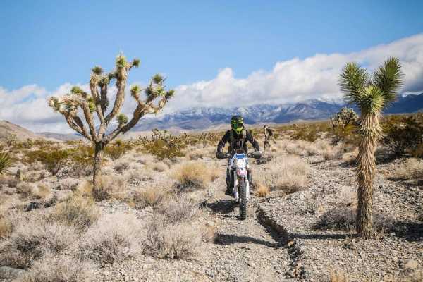
Cactus Trail
Ride this fun and flowy singletrack in connection with Roosters Course and Carpenter Bypass, among other single-track trails on the Pahrump BLM, to make a fun day ride. This recreation area is made up of several short single tracks off of Carpenter Canyon Road and Wheeler Pass that can all be ridden...
Learn more about Cactus Trail
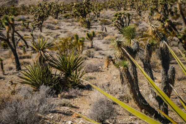
Carpenter Bypass
This trail is a short connector trail very similar to the other trails in the area, made up of a mix of dirt with loose rock and gravel washes. There are some bigger loose rocks in the middle of the trail to watch out for, and the trail is surrounded by Joshua Trees and Yucca. It's a slight decline ...
Learn more about Carpenter Bypass
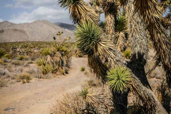
Carpenter Wash
Carpenter Wash is one of many designated dirt bike trails in the BLM desert to the east of Pahrump, Nevada. Most of the trails are easy, fast, and flowy with a mix of dirt and gravel washes, and the trail system is great for beginners. Visit in winter for warm sunny days and to avoid the summer heat...
Learn more about Carpenter Wash
Beginner ATV trails near Charleston View, California
Explore ATV-friendly trails near you. These trails are accessible for vehicles up to 50 inches wide, perfect for ATVs and smaller off-road machines.
Old Spanish Trail
This is a fun trail from the south end of Pahrump out to Prairie Fire, formerly known as Front Sight Road. From Front Sight Rd you can go right and head towards Prairie Fire, head left towards Tecopa Highway, or go straight across the road to Cathedral Canyon. This is mostly an easy desert trail wit...
Learn more about Old Spanish Trail
Hafen Spanish to Old Spanish
This trail is between Mountain Springs and Pahrump, just outside of Las Vegas a quick 45-minute drive west on N-160 Blue Diamond Highway. Which will turn into the Pahrump Valley Highway. Turning Left off the highway onto Tecopa we drove about a mile and the trailhead come up on your left. If you con...
Learn more about Hafen Spanish to Old Spanish
Pahrump to Mountain Springs
Mountain Springs is located between Pahrump and Las Vegas and is accessible from Pahrump by trail. The trail runs Southeast and Southwest through the Toiyabe National Forest and is an easy off-road drive through beautiful terrain. On this drive, You will step outside the typical desert landscape and...
Learn more about Pahrump to Mountain Springs
South Wheeler Pass Road
South Wheeler Pass Road is an ideal, scenic route for beginner offroaders and families seeking a gentle introduction to Nevada’s desert landscape, offering stunning panoramic views of the Pahrump Valley and Wheeler Wash. Spanning approximately 7.6 miles, this trail begins at the intersection of High...
Learn more about South Wheeler Pass Road
Beginner UTV/side-by-side trails near Charleston View, California
Find UTV and side-by-side trails near you. These trails accommodate vehicles up to 60 inches wide, ideal for UTVs, side-by-sides, and wider off-road rigs.
Old Spanish Trail
This is a fun trail from the south end of Pahrump out to Prairie Fire, formerly known as Front Sight Road. From Front Sight Rd you can go right and head towards Prairie Fire, head left towards Tecopa Highway, or go straight across the road to Cathedral Canyon. This is mostly an easy desert trail wit...
Learn more about Old Spanish Trail
Hafen Spanish to Old Spanish
This trail is between Mountain Springs and Pahrump, just outside of Las Vegas a quick 45-minute drive west on N-160 Blue Diamond Highway. Which will turn into the Pahrump Valley Highway. Turning Left off the highway onto Tecopa we drove about a mile and the trailhead come up on your left. If you con...
Learn more about Hafen Spanish to Old Spanish
Pahrump to Mountain Springs
Mountain Springs is located between Pahrump and Las Vegas and is accessible from Pahrump by trail. The trail runs Southeast and Southwest through the Toiyabe National Forest and is an easy off-road drive through beautiful terrain. On this drive, You will step outside the typical desert landscape and...
Learn more about Pahrump to Mountain Springs
South Wheeler Pass Road
South Wheeler Pass Road is an ideal, scenic route for beginner offroaders and families seeking a gentle introduction to Nevada’s desert landscape, offering stunning panoramic views of the Pahrump Valley and Wheeler Wash. Spanning approximately 7.6 miles, this trail begins at the intersection of High...
Learn more about South Wheeler Pass Road
The onX Offroad Difference
onX Offroad combines trail photos, descriptions, difficulty ratings, width restrictions, seasonality, and more in a user-friendly interface. Available on all devices, with offline access and full compatibility with CarPlay and Android Auto. Discover what you're missing today!
Open Trail Map