
Beginner Off-Road Trails
Near Carson, Washington
Explore All Beginner Trails Near Carson, Washington
Beginner Off-Road Trails Near Carson, Washington
Discover the best beginner-friendly off-road trails near you. These easier, lower-rated trails are a great place to start — browse trail maps, check difficulty ratings, and find your next adventure.
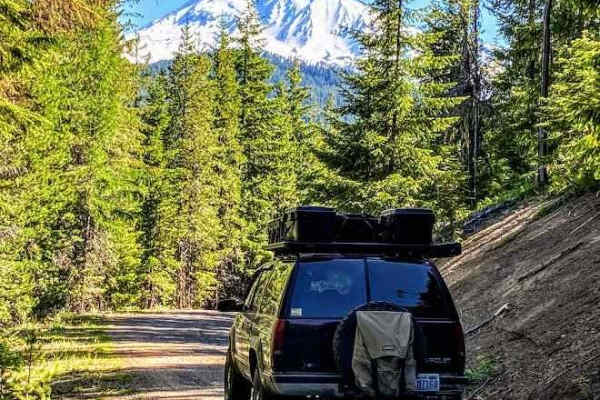
Washington Backcountry Discovery Route Section 1
This route covers all of section 1 of the Washington Backcountry Discovery Route (WABDR) from Carson to Packwood. Weather and route conditions can vary significantly from one area to the next, especially in early spring or late fall. This route is mostly impassible in winter due to snow. Early sprin...
Learn more about Washington Backcountry Discovery Route Section 1
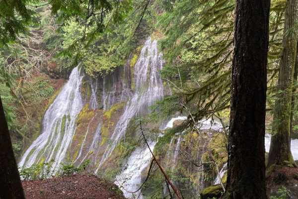
Big Lava Bed Trail
This easy gravel route follows NF-65, NF-60, Carson Guler Road. A few interesting stops along the way include Panther Creek Falls, Goose Lake, Guler Ice Caves, and plenty of camp spots on the route. Also interesting is the Big Lave Bed right on the route, which is interesting to explore by foot. Exp...
Learn more about Big Lava Bed Trail
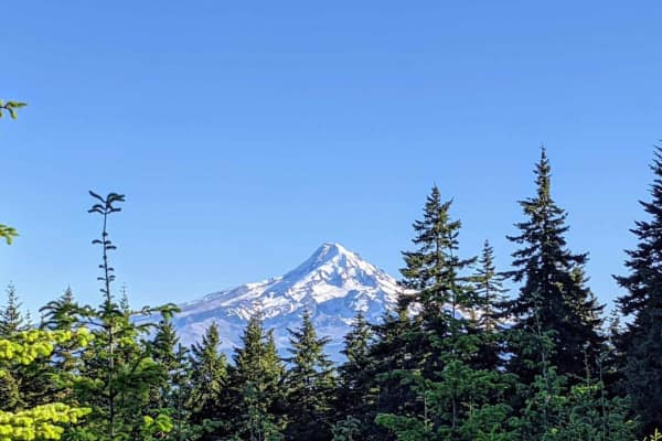
Mount Defiance - NF 2821000
Mount Defiance road scrambles 1600'+ out of the hills West of Hood River, Oregon to the summit of Mount Defiance and the edge of the Mark O Hatfield Wilderness. The summit tops out at just under 5,000'. Once the gravel forest service road passes 4,000', the road bed quickly turns to a loose shale an...
Learn more about Mount Defiance - NF 2821000
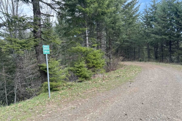
DNR N-4000 Road
Embark on an off-road journey through a conifer forest, where the towering trees guide your path. This route promises a blend of rugged terrain, panoramic vistas, and hidden gems waiting to be discovered. Your journey commences with a gentle ascent, leading you along the edge of a clear-cut. Here, t...
Learn more about DNR N-4000 Road
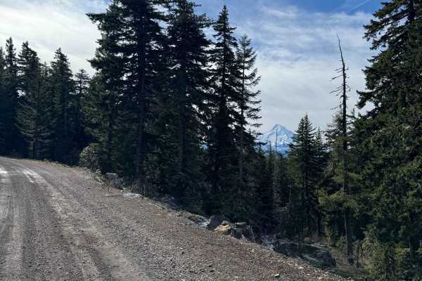
Dead Point - FS 2820
This forest road is mostly gravel and smooth surfaced. The road travels through dense forest, but in sections it opens up and you get amazing views of Mt. Hood. As you go further up the trail you will get views of Mount Defiance, which is the tallest peak on the Columbia River Gorge. The road dead e...
Learn more about Dead Point - FS 2820
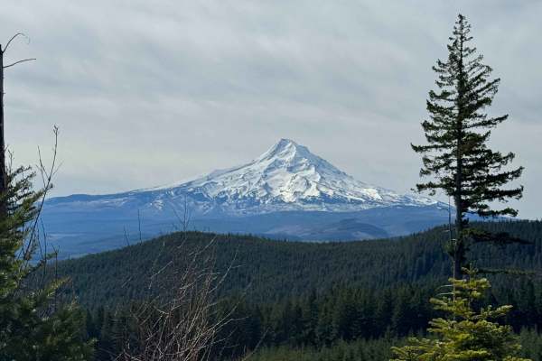
Larch Mountain Road
This trail leads you into the Mount Hood National Forest near Upper Green Point Reservoir. This area has many ATV and dirt bike trails, which cross the road in some places, so drive with care. The trail is a wide and smooth gravel road with little to no wash and ruts. There is a gradual incline and ...
Learn more about Larch Mountain Road
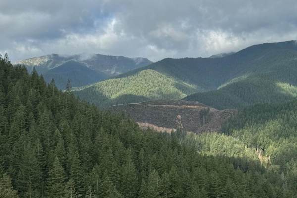
Rock Creek Run
Rock Creek Run is an easy trail that will lead you through the deep forest. There is a stunning waterfall on this trail and the trail runs alongside Rock Creek. There are several areas that open up to offer stunning views of the surrounding mountains. The trail is mainly comprised of loose gravel wi...
Learn more about Rock Creek Run
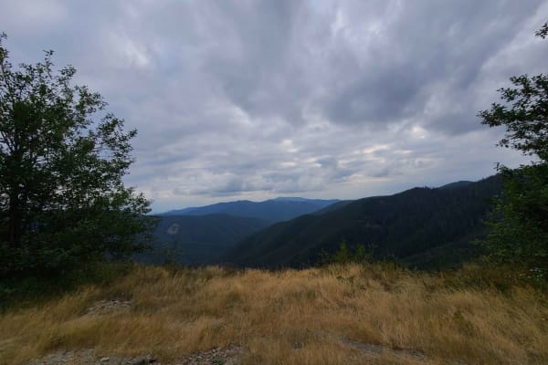
Campers Pass
A casual long relatively straight stretch of off-roading experience perfect for testing independent suspension. Found at the end of Szydlo Road, just north of the town of Stabler, Washington. Follow this trail for beautiful mountainside views, breathtakingly risky feeling cliffside camping spots, la...
Learn more about Campers Pass
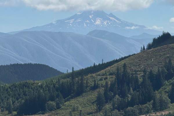
CG 1500 / CG 1400
This is an easy out-and-back trail that's 4.6 miles in each direction. The trail is mainly dirt pack and while there are spots to pass others, they are limited. The trail has minor washouts and ruts and there is some minor overgrowth that may cause pinstriping. The washouts and ruts will fill with w...
Learn more about CG 1500 / CG 1400
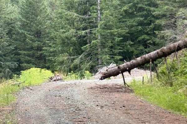
W-1490
This trail is mainly comprised of loose gravel but it does have some dirt and hard-packed gravel mixed in. The trail has minor ruts and washouts. The trail has some great views provided by narrow shelf roads as you climb up higher in elevation. The trail is wide enough in most areas to provide for p...
Learn more about W-1490
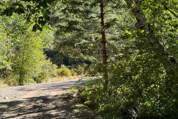
Crater Creek - 3300000
This is a fairly easy trail that can be used to connect from/to other trails in the forest network. The trail is mainly loose gravel that changes to hard-packed gravel in some areas with small rocks on the trail. There is also some minor trail overgrowth that may cause pinstriping on wide vehicles. ...
Learn more about Crater Creek - 3300000
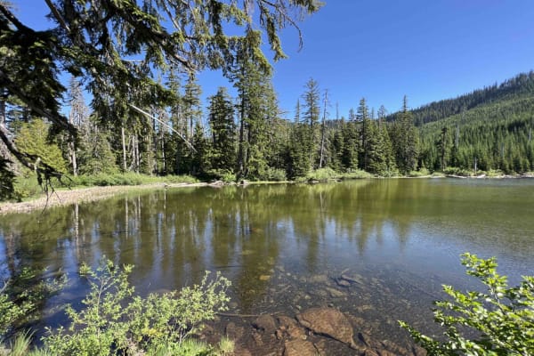
Green Point - 2810
Green Point - 2810 is a beautiful scenic drive through the Mount Hood National Forest in Northwest Oregon. This road is mainly gravel however there are areas where large boulders and rocks have come on the road and you have to swerve to avoid them as well as large trees lying over the road. Going up...
Learn more about Green Point - 2810
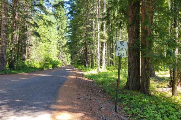
The Monte's (NF 18)
This trail begins at the Oklahoma Campground and leads past Monte Carlo Lower Trailhead and Monte Cristo Lower Trailhead. This is a very narrow two-track that has large, deep potholes and erosion diversions to navigate. Lower clearance vehicles are not recommended. The further up the trail, the more...
Learn more about The Monte's (NF 18)

East Fork Lewis Road Connecting Trail
This is a short trail that can be used to connect to the other network of forest trails in the area. The trail is comprised of loose and hard-packed gravel with some areas of dirt pack. You will encounter shallow mud holes and overgrown areas on this trail. Pinstriping is a possibility for vehicles....
Learn more about East Fork Lewis Road Connecting Trail
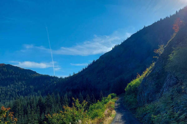
Lookout Mountain Road
This is an easy dirt/gravel trail that can be narrow at times, which means depending on the width of your rig, you might pick up some extra trail badges. Lookout Mountain Road offers some magnificent vistas that include Mount Hood. If you're making a longer haul through this mountain range, there is...
Learn more about Lookout Mountain Road
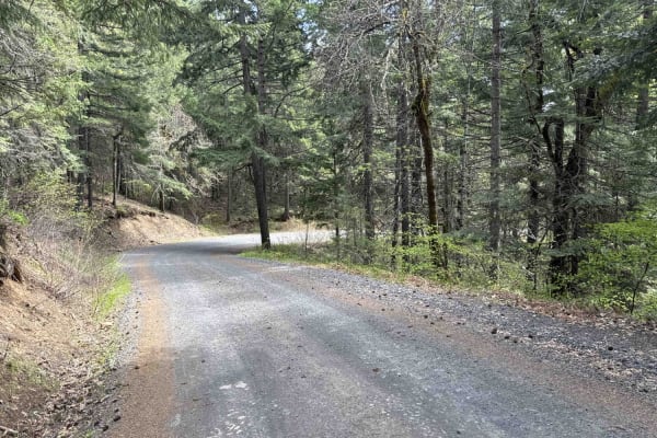
Buck Creek N-1000 to Little Baldy Peak
The journey begins with an opportunity to observe whitewater kayakers on the White Salmon River at Northwestern Park, providing a perfect spot to relax and enjoy the surroundings. Continuing west a short distance and turning left onto Nestor Peak Road/N-1000, the road ascends the ridge, passing thro...
Learn more about Buck Creek N-1000 to Little Baldy Peak
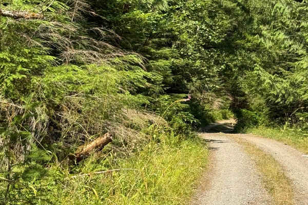
Cougar Rock Connecting Trail
This deep forest trail will allow you to connect with other trails in the area. The trail is your typical deep forest trail with washouts, ruts, overgrowth, and low-hanging limbs. You may encounter some erosion on the trail and a few washouts that will place you in off-camber situations. Pin-stripin...
Learn more about Cougar Rock Connecting Trail
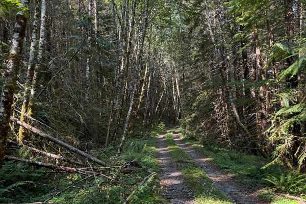
Canyon Cr - Forest Road 3700000
This route will lead you from the Canyon Creek Campground to the Soda Peaks Trailhead or vice versa. A deep forest route sometimes becomes narrow with plenty of overgrowth. Pin-striping is possible on this trail. The trail has many mud ruts and washouts that can put you at slight off-camber angles. ...
Learn more about Canyon Cr - Forest Road 3700000
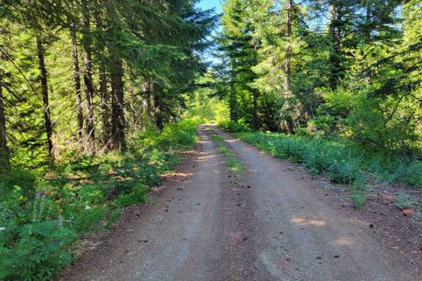
FR 86 - Cave Creek
Forest Road 86 is a wide and easy connector to several other trails in the area. The road conditions are that of a typical mountain road, complete with some washboard sections and large potholes to navigate. Safe and capable for 2WD vehicles. There is an awesome overlook point of the surrounding for...
Learn more about FR 86 - Cave Creek
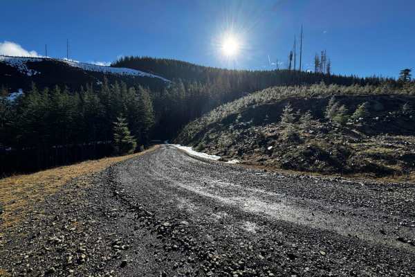
W2000 to W2070 and W2071
This is a generally well-maintained gravel road with some ruts and washboard areas. The trail starts at Dougan Falls and follows the Washougal River to the northeast, passing countless small waterfalls and eventually coming to Deer Creek. The parking area near Dougan Falls requires a Washington Disc...
Learn more about W2000 to W2070 and W2071
Beginner ATV trails near Carson, Washington
Explore ATV-friendly trails near you. These trails are accessible for vehicles up to 50 inches wide, perfect for ATVs and smaller off-road machines.
Washington Backcountry Discovery Route Section 1
This route covers all of section 1 of the Washington Backcountry Discovery Route (WABDR) from Carson to Packwood. Weather and route conditions can vary significantly from one area to the next, especially in early spring or late fall. This route is mostly impassible in winter due to snow. Early sprin...
Learn more about Washington Backcountry Discovery Route Section 1
Big Lava Bed Trail
This easy gravel route follows NF-65, NF-60, Carson Guler Road. A few interesting stops along the way include Panther Creek Falls, Goose Lake, Guler Ice Caves, and plenty of camp spots on the route. Also interesting is the Big Lave Bed right on the route, which is interesting to explore by foot. Exp...
Learn more about Big Lava Bed Trail
Mount Defiance - NF 2821000
Mount Defiance road scrambles 1600'+ out of the hills West of Hood River, Oregon to the summit of Mount Defiance and the edge of the Mark O Hatfield Wilderness. The summit tops out at just under 5,000'. Once the gravel forest service road passes 4,000', the road bed quickly turns to a loose shale an...
Learn more about Mount Defiance - NF 2821000
DNR N-4000 Road
Embark on an off-road journey through a conifer forest, where the towering trees guide your path. This route promises a blend of rugged terrain, panoramic vistas, and hidden gems waiting to be discovered. Your journey commences with a gentle ascent, leading you along the edge of a clear-cut. Here, t...
Learn more about DNR N-4000 Road
Beginner UTV/side-by-side trails near Carson, Washington
Find UTV and side-by-side trails near you. These trails accommodate vehicles up to 60 inches wide, ideal for UTVs, side-by-sides, and wider off-road rigs.
Washington Backcountry Discovery Route Section 1
This route covers all of section 1 of the Washington Backcountry Discovery Route (WABDR) from Carson to Packwood. Weather and route conditions can vary significantly from one area to the next, especially in early spring or late fall. This route is mostly impassible in winter due to snow. Early sprin...
Learn more about Washington Backcountry Discovery Route Section 1
Big Lava Bed Trail
This easy gravel route follows NF-65, NF-60, Carson Guler Road. A few interesting stops along the way include Panther Creek Falls, Goose Lake, Guler Ice Caves, and plenty of camp spots on the route. Also interesting is the Big Lave Bed right on the route, which is interesting to explore by foot. Exp...
Learn more about Big Lava Bed Trail
Mount Defiance - NF 2821000
Mount Defiance road scrambles 1600'+ out of the hills West of Hood River, Oregon to the summit of Mount Defiance and the edge of the Mark O Hatfield Wilderness. The summit tops out at just under 5,000'. Once the gravel forest service road passes 4,000', the road bed quickly turns to a loose shale an...
Learn more about Mount Defiance - NF 2821000
DNR N-4000 Road
Embark on an off-road journey through a conifer forest, where the towering trees guide your path. This route promises a blend of rugged terrain, panoramic vistas, and hidden gems waiting to be discovered. Your journey commences with a gentle ascent, leading you along the edge of a clear-cut. Here, t...
Learn more about DNR N-4000 Road
The onX Offroad Difference
onX Offroad combines trail photos, descriptions, difficulty ratings, width restrictions, seasonality, and more in a user-friendly interface. Available on all devices, with offline access and full compatibility with CarPlay and Android Auto. Discover what you're missing today!
Open Trail Map