
Beginner Off-Road Trails
Near Carson, Nevada
Explore All Beginner Trails Near Carson, Nevada
Beginner Off-Road Trails Near Carson, Nevada
Discover the best beginner-friendly off-road trails near you. These easier, lower-rated trails are a great place to start — browse trail maps, check difficulty ratings, and find your next adventure.

Cable Road
Named for the remnants of old cable wire scattered along its path and its original purpose, the Cable Road is a fun and fast-paced off-road trail within the Prison Hill OHV Area. Starting just off Golden Eagle Lane, it provides access to a network of trails in the area. The west end of the trail sta...
Learn more about Cable Road

Easy Rider Trail
"Easy Rider Trail" starts off heading up from "Cable Road" onto a sandy trail. This is a great access point to watch the action on the harder trails. "Double Waterfall" ends in "Easy Rider Trail" and if someone is struggling with the waterfall at the top of "Double Waterfall" this is a great way to ...
Learn more about Easy Rider Trail
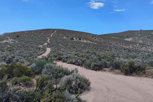
Ridgeline
This trail heads up from one of the vista points on the south side and shortcuts the "East Summit Loop" trail to get you up to the Prison Hill summit a bit quicker. The trail is a bit steep running up the ridge and has some loose rocks that can break your traction, but it is on the same level as mos...
Learn more about Ridgeline
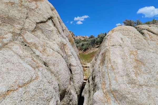
Off The Trailer
"Off The Trailer" is a 22-acre open play area right next to the main staging area. This is a place to test your rig and skills in an open riding zone where you are not constrained to a single trail. The best part about this area is that you are right next to the staging area if anything goes wrong, ...
Learn more about Off The Trailer
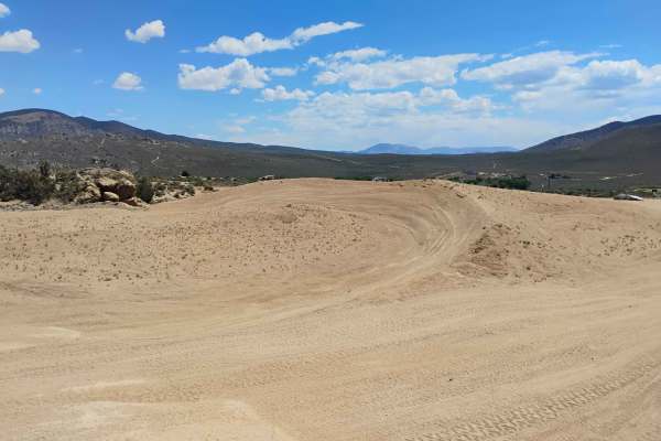
Sand Training Area
The "Sand Training Area" is an open riding zone where you can explore without the restrictions of a trail. The area changes from time to time, but there are some whoops to ride and some berms. This area is usually very busy with families and kids playing on dirt bikes and quads. If you are crossing ...
Learn more about Sand Training Area

D5
D5 starts off pretty soft and sandy as it heads up the hill. There are a few different routes for D5, and they all have signs telling you that you are on the trail. The trail is confusing to navigate, but the trail itself is fairly easy with not much more than sand and bumps to negotiate. There are...
Learn more about D5
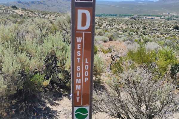
West Summit Loop
"West Summit Loop" starts off heading southeast from the main staging area. The trail takes you past "Headlight" and up to the "Cable Road," where it overlaps to the South for a bit, then turns up the hill. The trail traverses back and forth, getting steeper as you approach Golden Eagle Rock, a grea...
Learn more about West Summit Loop
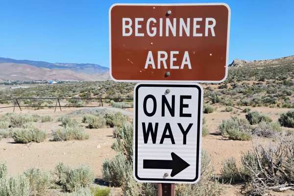
Beginner Track
This track is set up with the beginner in mind. The outside loop is the easier path with gentle turns and a smooth surface. The inside loop, however, makes things a bit trickier. There are optional small jumps and even a sand and rock obstacle to cross. The track is short but a great learning spot r...
Learn more about Beginner Track
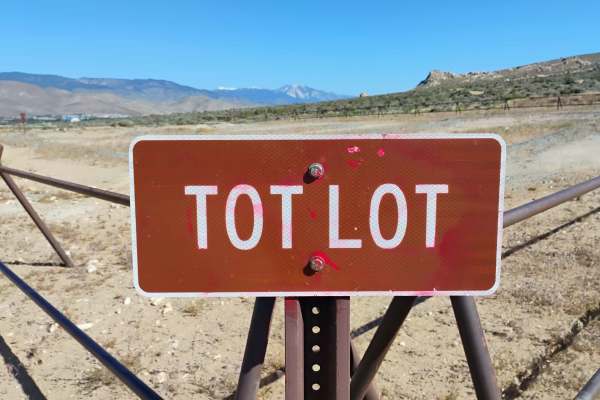
Tot Lot
The "Tot Lot" is a small dirt bike track for kids. There is a bench seat for the adult who wants a place to sit while they watch the kids. There are signs clearly posted that this is not a race track. There is no passing on the "Tot Lot." There is also a sign at the entrance that shows you what dir...
Learn more about Tot Lot
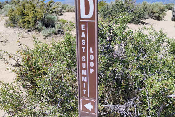
East Summit Loop
"East Summit Loop" starts from the main staging area and heads east, skirting the edge of "Off The Trailer." The trail heads up to the "Cable Road" and follows it through the whooped section to the east, where you will pass the first of a few great vista points. The trail continues up to a second vi...
Learn more about East Summit Loop
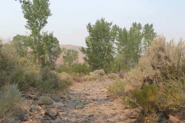
Brunswick Canyon
Brunswick Canyon Road is fairly easy;85% of the trail is single vehicle wide with tight switchbacks. Mostly packed gravel trail with areas of loose rocks and a couple of water crossings. The Northern end of the trail transitions into soft sand with a steep grade to reach the trail's end if you're tr...
Learn more about Brunswick Canyon
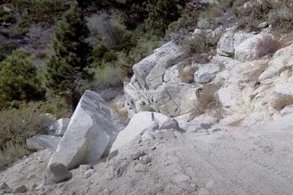
Kings Canyon Road
Kings Canyon Road (Forest Road 41039) is a solid choice for offroaders looking for a moderate 4x4 trail near Carson City, Nevada, with easy access to Tahoe and the Sierras. This route is ideal for high-clearance vehicles, side-by-sides, dirt bikes, and adventurous ATVs, especially during the snow-fr...
Learn more about Kings Canyon Road
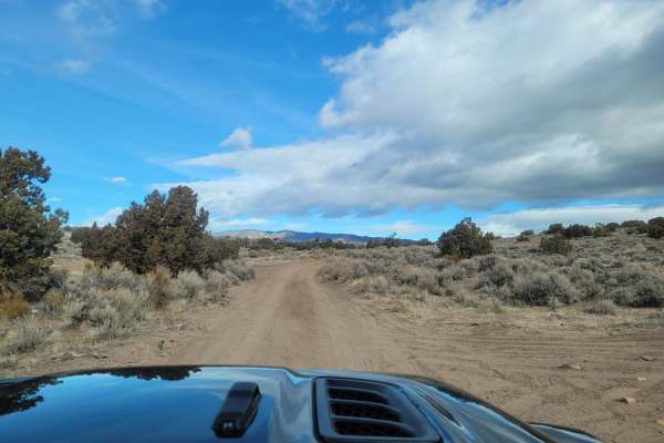
Pine Nut Mountains Vista Trail
The Pine Nut Mountains Vista Trail is a scenic double-track route in the Johnson Lane OHV Area, perfect for offroaders seeking panoramic views of the Sierra Nevada Mountains, Minden, and the surrounding Carson Valley. Starting near the end of Johnson Lane, just ten miles from Minden, this 2.56-mile ...
Learn more about Pine Nut Mountains Vista Trail
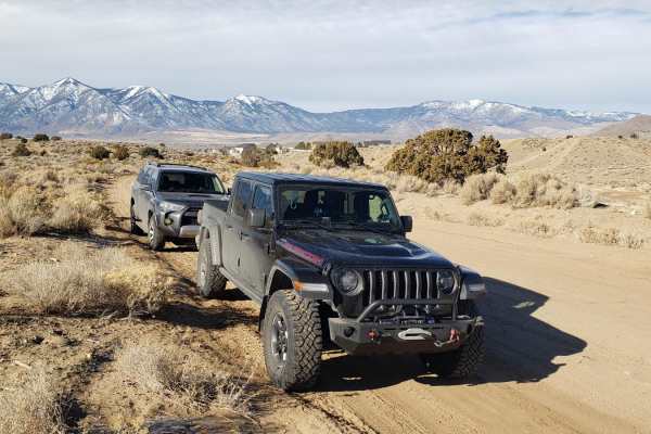
Sunrise Pass Road
This graded dirt county road begins at the Johnson Lane OHV Park located east of Minden, NV. As the road gradually ascends, it traverses alluvial plains covered in sage and low canyons with juniper trees. Rising to 7,000 feet at Sunrise Pass, the road takes you to the heart of the Pine Nut Mountains...
Learn more about Sunrise Pass Road
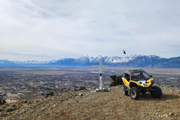
Hot Springs Mountains Senic Trail
This trail leads you to panoramic views of the Carson Valley and the Sierra Front. I prefer to start at the Johnson Lane Staging Area and travel North, but either direction is okay. The trail has a few challenges. You will encounter soft sand and loose rocks on some of the steep climbs, so have appr...
Learn more about Hot Springs Mountains Senic Trail
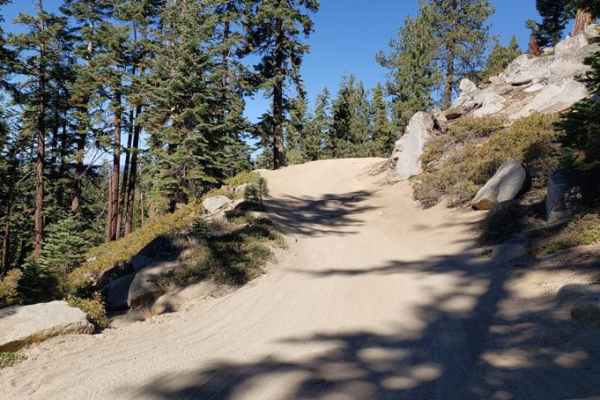
Genoa Peak Road - 41306
You'll get some great views of Lake Tahoe from this trail. It's a wide, single-lane gravel trail that's moderately to heavily used during the summer. The gates at both ends of the road are locked from November 15 to June 1st due to snowy conditions. It is recommended for 4x4s with high clearance, Je...
Learn more about Genoa Peak Road - 41306
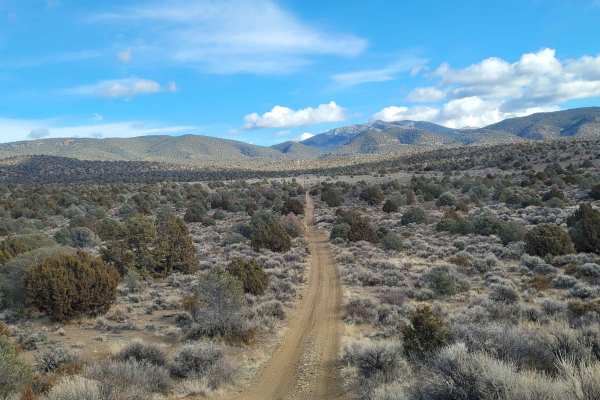
1947 Bunker Trail
This trail starts off on a wide graded dirt road. Then turning Northeast you proceed up a narrow double track trail. This portion of the trail ascends up a flat topped ridge which is lined with Juniper trees. There are several small arroyos to cross along the way. The arroyos are usually dry, but ca...
Learn more about 1947 Bunker Trail
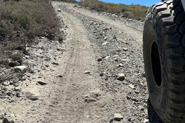
Genoa Peak Summit
This trail can be dusty. Head size sharp rocks on hard pack with occasional tree roots. Trail is roughly a 3 (any 4x4 should make it). Saw Jeeps, SxS, and ATVs on this day. There are a few small drop-offs on the South end of the trail that could be challenging if traveling North. The trail does not ...
Learn more about Genoa Peak Summit
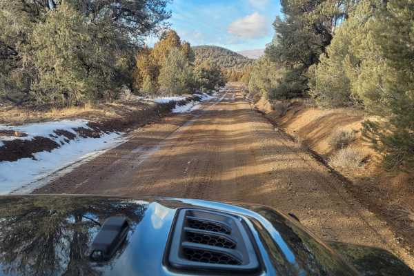
Utopian Mine Trail
This road takes you to the Utopian Mine located in the Pine Nut Mountains in Carson City County, Nevada. The graded dirt road is wide and flat for the first four miles. As you cross into Carson City County, the road is named Bruinswick Canyon Road. Turning on to a double-track side trail for the las...
Learn more about Utopian Mine Trail
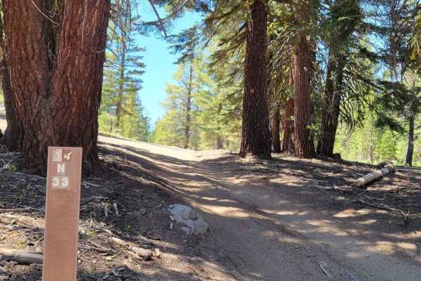
Logan House Loop 14n33
This trail has beautiful scenery that includes tree-filtered views of Lake Tahoe, Aspen groves, grassy meadows, a couple of small year-round streams, and the classic Sierra Nevada Mountain Forest. It is recommended for 4WD or AWD vehicles with higher clearance. Both ends of the trail offer paved sta...
Learn more about Logan House Loop 14n33
Beginner ATV trails near Carson, Nevada
Explore ATV-friendly trails near you. These trails are accessible for vehicles up to 50 inches wide, perfect for ATVs and smaller off-road machines.
Cable Road
Named for the remnants of old cable wire scattered along its path and its original purpose, the Cable Road is a fun and fast-paced off-road trail within the Prison Hill OHV Area. Starting just off Golden Eagle Lane, it provides access to a network of trails in the area. The west end of the trail sta...
Learn more about Cable Road
Easy Rider Trail
"Easy Rider Trail" starts off heading up from "Cable Road" onto a sandy trail. This is a great access point to watch the action on the harder trails. "Double Waterfall" ends in "Easy Rider Trail" and if someone is struggling with the waterfall at the top of "Double Waterfall" this is a great way to ...
Learn more about Easy Rider Trail
Ridgeline
This trail heads up from one of the vista points on the south side and shortcuts the "East Summit Loop" trail to get you up to the Prison Hill summit a bit quicker. The trail is a bit steep running up the ridge and has some loose rocks that can break your traction, but it is on the same level as mos...
Learn more about Ridgeline
Off The Trailer
"Off The Trailer" is a 22-acre open play area right next to the main staging area. This is a place to test your rig and skills in an open riding zone where you are not constrained to a single trail. The best part about this area is that you are right next to the staging area if anything goes wrong, ...
Learn more about Off The Trailer
Beginner UTV/side-by-side trails near Carson, Nevada
Find UTV and side-by-side trails near you. These trails accommodate vehicles up to 60 inches wide, ideal for UTVs, side-by-sides, and wider off-road rigs.
Cable Road
Named for the remnants of old cable wire scattered along its path and its original purpose, the Cable Road is a fun and fast-paced off-road trail within the Prison Hill OHV Area. Starting just off Golden Eagle Lane, it provides access to a network of trails in the area. The west end of the trail sta...
Learn more about Cable Road
Easy Rider Trail
"Easy Rider Trail" starts off heading up from "Cable Road" onto a sandy trail. This is a great access point to watch the action on the harder trails. "Double Waterfall" ends in "Easy Rider Trail" and if someone is struggling with the waterfall at the top of "Double Waterfall" this is a great way to ...
Learn more about Easy Rider Trail
Ridgeline
This trail heads up from one of the vista points on the south side and shortcuts the "East Summit Loop" trail to get you up to the Prison Hill summit a bit quicker. The trail is a bit steep running up the ridge and has some loose rocks that can break your traction, but it is on the same level as mos...
Learn more about Ridgeline
Off The Trailer
"Off The Trailer" is a 22-acre open play area right next to the main staging area. This is a place to test your rig and skills in an open riding zone where you are not constrained to a single trail. The best part about this area is that you are right next to the staging area if anything goes wrong, ...
Learn more about Off The Trailer
The onX Offroad Difference
onX Offroad combines trail photos, descriptions, difficulty ratings, width restrictions, seasonality, and more in a user-friendly interface. Available on all devices, with offline access and full compatibility with CarPlay and Android Auto. Discover what you're missing today!
Open Trail Map