
Beginner Off-Road Trails
Near Caribou, Maine
Explore All Beginner Trails Near Caribou, Maine
Beginner Off-Road Trails Near Caribou, Maine
Discover the best beginner-friendly off-road trails near you. These easier, lower-rated trails are a great place to start — browse trail maps, check difficulty ratings, and find your next adventure.
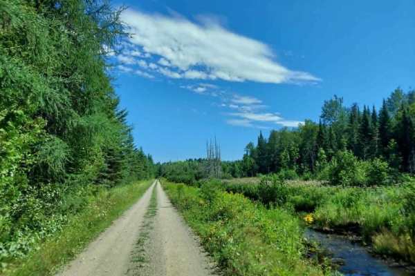
Southern Bangor & Aroostook Upper Trail
This northern section of the Bangor and Aroostook Trail follows an old railroad corridor featuring multiple bridges and scenic pull-off points. As a primary travel artery for the region, this route experiences heavy OHV traffic; please remain vigilant for oncoming machines and wildlife, especially d...
Learn more about Southern Bangor & Aroostook Upper Trail
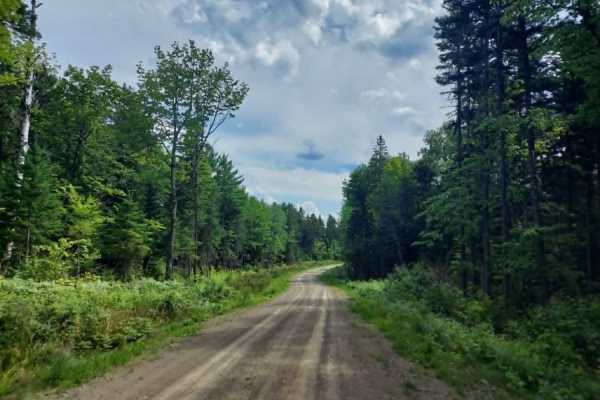
SCOPAN Slip Road
This smooth, wide route winds through the rolling hills of the SCOPAN forest, offering unobstructed views of the surrounding landscape. The trail’s generous width makes it an accessible drive, while the freshly cut vegetation along the edges frequently attracts local wildlife. Please note that this ...
Learn more about SCOPAN Slip Road
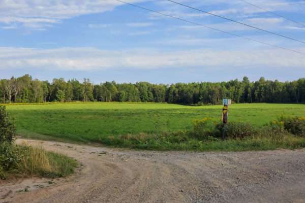
Lathrop Road
This gravel road serves as a primary ATV and SXS connector, providing a smooth, wide surface for riders traveling out of Presque Isle, Maine, to access forest trails, or is the last bit of gravel road you will see if heading into Presque Isle. Please exercise caution, as the road ends at the local t...
Learn more about Lathrop Road
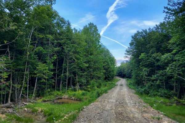
SCOPAN Spur
This out-and-back trail is a recent addition to the SCOPAN forest area. The route features a newly established, raised trail bed constructed with dirt, gravel, and stone fill sourced from the surrounding landscape. Users should expect rocky, rutted terrain with slick conditions and deep mud puddles ...
Learn more about SCOPAN Spur
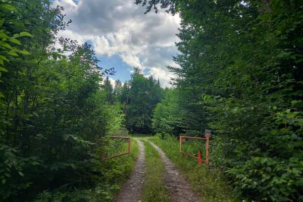
Deer Fly Lane
This trail is restricted to ATVs and SXS traffic only due to narrow width limitations enforced by gates at both ends. Riders should expect wet and muddy conditions, heavy overgrowth, and significant insect activity due to the trail’s proximity to a lakeside swamp. Please plan your gear and equipment...
Learn more about Deer Fly Lane
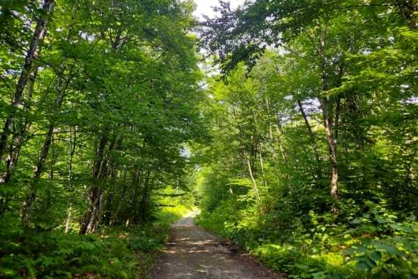
MMC Outdoors Extension
This is one of three western entrances into the SCOPAN park. The route features mixed terrain, ranging from gravel and mud to hard-packed dirt farm road passing through private pastures. Please be mindful of your noise levels and stay strictly on the trail, as trespassing on the surrounding private ...
Learn more about MMC Outdoors Extension
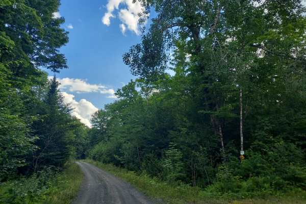
Evergreen Way
This is a well-maintained, smooth multi-use gravel connector two track trail. Please be aware that you may encounter other users in standard passenger vehicles. The area features several ponds and streams, offering excellent opportunities for wildlife viewing, so please stay alert and mindful of pot...
Learn more about Evergreen Way
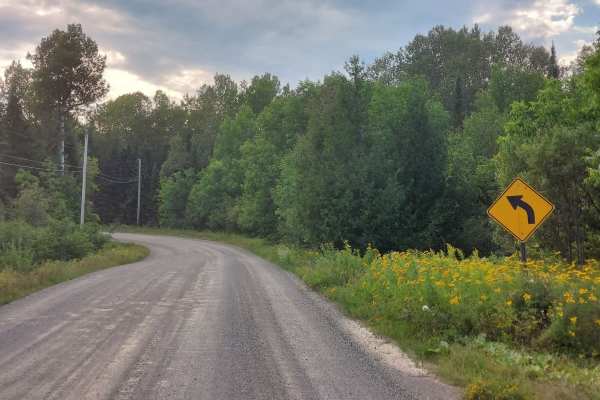
Simpson Road
Simpson Road is a well-maintained gravel route that serves as a primary connector, bringing ATV and SXS traffic from the town of Westfield, Maine, into the expansive trail network of the Aroostook Timberlands. Please note that this is a shared-use road with local residences; all riders should mainta...
Learn more about Simpson Road
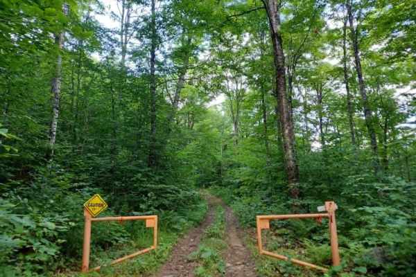
SCOPAN Mountain Loop
This is an ATV and SXS exclusive trail featuring width-restriction gates at both entrances. It is a demanding, long-track route that presents continuous technical challenges, with a surface that fluctuates between deep ruts, rock gardens, gravel sections, and mud. The trail is narrow, leaving little...
Learn more about SCOPAN Mountain Loop
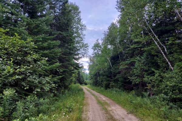
Lean-To Ridge Trail
The Lean-To Ridge Trail traverses the base of Scopan Mountain’s north face, offering an excellent opportunity for an overnight excursion with an accessible lean-to and a notable bridge crossing over a mountain runoff stream. The route features stunning foliage views during the autumn months. The tra...
Learn more about Lean-To Ridge Trail
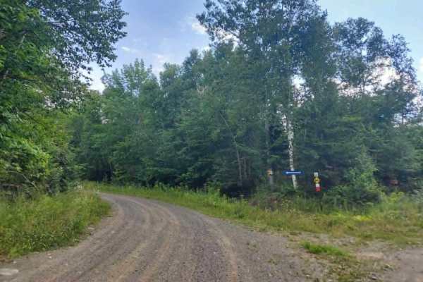
Presque Isle Stream Traverse
If approaching from Up North Rd, be prepared for a width-restriction gate at the eastern end of the trail. This is meant to keep out full-size vehicles, not ATVs, dirt bikes, or SXS users. Otherwise, this route offers stunning scenic views across varying terrain, including a bog where the stream pas...
Learn more about Presque Isle Stream Traverse
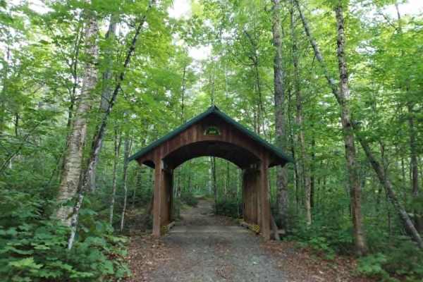
Up North Road Lower
The lower section of Up North Road is the crown jewel of this trail network. Spanning nearly six miles, this route showcases the incredible diversity of the surrounding landscape and offers a perfect sampling of every environment you will encounter in the area. The highlight of the trail is a pictur...
Learn more about Up North Road Lower
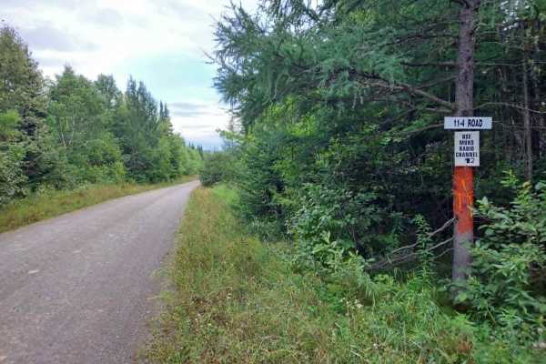
11-4 Road
The route is characterized by smooth dirt surfaces with minimal obstacles, offering miles of scenic riding and frequent wildlife sightings. Please be aware that this is an active working forest, and you should expect frequent encounters with heavy machinery, including trucks, bulldozers, and skidder...
Learn more about 11-4 Road
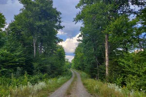
SCOPAN Connector
The SCOPAN connector trail is a smooth, well-maintained gravel road designed for efficient access to surrounding trail networks. Throughout the route, you will encounter several clearings suitable for staging or parking. As this is a multi-use corridor, please remain alert for various OHV traffic, a...
Learn more about SCOPAN Connector
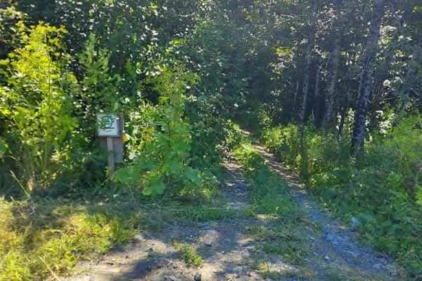
Mars Mountain Loop Middle Section
The Mars Mountain Loop features diverse terrain, ranging from open farmland and dirt roads to dense, wooded sections. This route offers stunning scenic views of the mountain's backside and brings you closer to the towering windmills. Please note that the trail includes several deep, wooded segments ...
Learn more about Mars Mountain Loop Middle Section
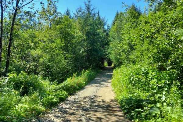
Crum Memorial Trail
Expect a well-maintained, dry trail that connects the Bangor & Aroostook corridor to the western sections of the trail system. The route features one major road crossing and traverses a diverse landscape of farm fields, spruce and cedar forests, and a private residential area where the landowner act...
Learn more about Crum Memorial Trail
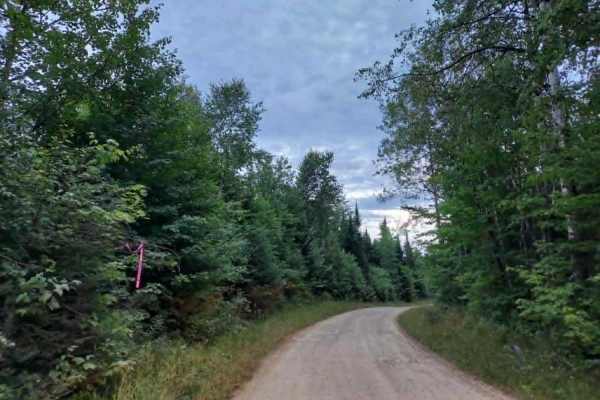
Truck Trail 3
One of the busier trails on this logging tract, you can expect a well-maintained, smooth dirt surface with minimal obstacles, offering miles of scenic riding and frequent wildlife sightings. Please be aware that this is an active working forest, and you should expect frequent encounters with heavy m...
Learn more about Truck Trail 3
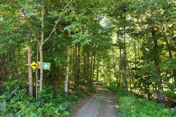
Youngs Brook Crossing
This scenic trail offers a diverse transition between landscapes, starting along farm access roads before leading into a serene, brookside environment that winds through a lush canopy of spruce and cedar trees. The trail surface changes from loamy soil in the woods into hard packed dirt alongside th...
Learn more about Youngs Brook Crossing
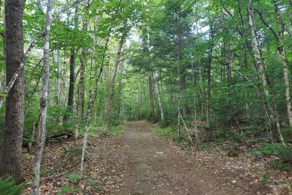
C Line Road
This trail is strictly designated for ATV and SXS use. The terrain features a varied surface consisting of hard-packed dirt, loose soil, mud, ruts, gravel, and loose stones, with occasional embedded boulders that require careful navigation. Whether traversing the steep hillside switchbacks in either...
Learn more about C Line Road
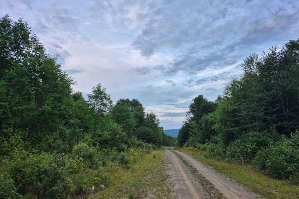
Truck Trail 2
The route is characterized by smooth dirt surfaces with minimal obstacles, offering miles of scenic riding and frequent wildlife sightings. Please be aware that this is an active working forest, and you should expect frequent encounters with heavy machinery, including trucks, bulldozers, and skidder...
Learn more about Truck Trail 2
Beginner ATV trails near Caribou, Maine
Explore ATV-friendly trails near you. These trails are accessible for vehicles up to 50 inches wide, perfect for ATVs and smaller off-road machines.
Southern Bangor & Aroostook Upper Trail
This northern section of the Bangor and Aroostook Trail follows an old railroad corridor featuring multiple bridges and scenic pull-off points. As a primary travel artery for the region, this route experiences heavy OHV traffic; please remain vigilant for oncoming machines and wildlife, especially d...
Learn more about Southern Bangor & Aroostook Upper Trail
SCOPAN Slip Road
This smooth, wide route winds through the rolling hills of the SCOPAN forest, offering unobstructed views of the surrounding landscape. The trail’s generous width makes it an accessible drive, while the freshly cut vegetation along the edges frequently attracts local wildlife. Please note that this ...
Learn more about SCOPAN Slip Road
Lathrop Road
This gravel road serves as a primary ATV and SXS connector, providing a smooth, wide surface for riders traveling out of Presque Isle, Maine, to access forest trails, or is the last bit of gravel road you will see if heading into Presque Isle. Please exercise caution, as the road ends at the local t...
Learn more about Lathrop Road
Deer Fly Lane
This trail is restricted to ATVs and SXS traffic only due to narrow width limitations enforced by gates at both ends. Riders should expect wet and muddy conditions, heavy overgrowth, and significant insect activity due to the trail’s proximity to a lakeside swamp. Please plan your gear and equipment...
Learn more about Deer Fly Lane
Beginner UTV/side-by-side trails near Caribou, Maine
Find UTV and side-by-side trails near you. These trails accommodate vehicles up to 60 inches wide, ideal for UTVs, side-by-sides, and wider off-road rigs.
Southern Bangor & Aroostook Upper Trail
This northern section of the Bangor and Aroostook Trail follows an old railroad corridor featuring multiple bridges and scenic pull-off points. As a primary travel artery for the region, this route experiences heavy OHV traffic; please remain vigilant for oncoming machines and wildlife, especially d...
Learn more about Southern Bangor & Aroostook Upper Trail
SCOPAN Slip Road
This smooth, wide route winds through the rolling hills of the SCOPAN forest, offering unobstructed views of the surrounding landscape. The trail’s generous width makes it an accessible drive, while the freshly cut vegetation along the edges frequently attracts local wildlife. Please note that this ...
Learn more about SCOPAN Slip Road
Lathrop Road
This gravel road serves as a primary ATV and SXS connector, providing a smooth, wide surface for riders traveling out of Presque Isle, Maine, to access forest trails, or is the last bit of gravel road you will see if heading into Presque Isle. Please exercise caution, as the road ends at the local t...
Learn more about Lathrop Road
Deer Fly Lane
This trail is restricted to ATVs and SXS traffic only due to narrow width limitations enforced by gates at both ends. Riders should expect wet and muddy conditions, heavy overgrowth, and significant insect activity due to the trail’s proximity to a lakeside swamp. Please plan your gear and equipment...
Learn more about Deer Fly Lane
The onX Offroad Difference
onX Offroad combines trail photos, descriptions, difficulty ratings, width restrictions, seasonality, and more in a user-friendly interface. Available on all devices, with offline access and full compatibility with CarPlay and Android Auto. Discover what you're missing today!
Open Trail Map