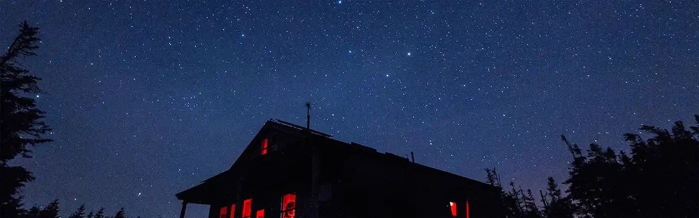
Beginner Off-Road Trails
Near Washburn, Maine
Explore All Beginner Trails Near Washburn, Maine
Beginner Off-Road Trails Near Washburn, Maine
Discover the best beginner-friendly off-road trails near you. These easier, lower-rated trails are a great place to start — browse trail maps, check difficulty ratings, and find your next adventure.
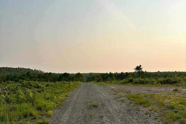
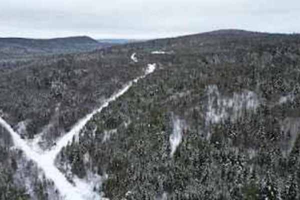
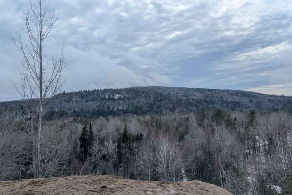
Masardis Main ATV
This is a very well-maintained trail. The trail is a mix of ATV-only and mixed-use logging trails. An ATV Maine membership is required. It can be with any club affiliated with ATV Maine. Email the Masardis ATV club to request a membership application or to report trail damage. The club strives to ke...
Learn more about Masardis Main ATV
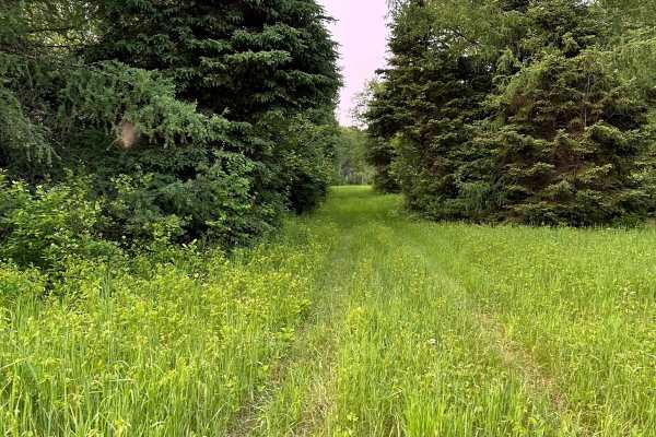
Michaud Woods
Very short, easy woods trail that allows you to bypass Masardis Main Street. This trail is part of the Masardis trail system. It does run through private land. Please respect the property owner and drive safely. Moose are frequently sighted on this trail. Hunting is not allowed. Always watch for tra...
Learn more about Michaud Woods
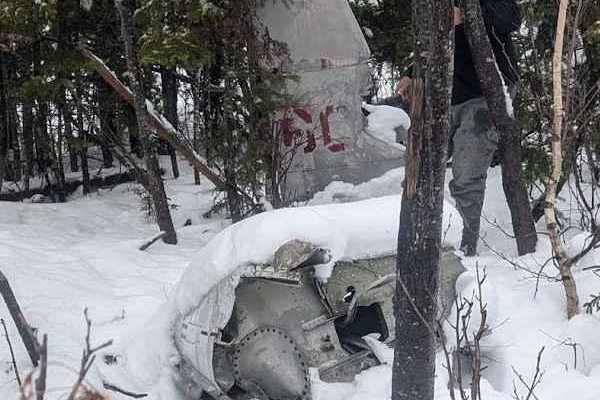
Millville Plane Crash
Heading west from Millville on the 104, you enter this trail through Becaguimac South Branch Road. It quickly turns into a track through Crowne woodlands. It is well maintained and very easy to traverse. This will eventually lead you to a plane crash from June 12, 1958. A plaque with information as ...
Learn more about Millville Plane Crash
Rocky Island Row
To the east of Millville, take the Mill road north. After 10 km or so, take a left onto this tight but scenic track, following a stream bed past Rocky Island. The trail is a fairly simple dirt track that will bring you out North of Balancing Rock. Cell service is limited after you pass Crabbe Mounta...
Learn more about Rocky Island Row
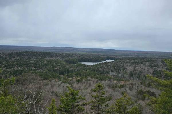
Ayers Lake Lookout
Drive up Route 104 near Millville, enter a logging road, and go straight at the intersection in the road. The road starts to get a little rough, then gets to a climb that is simple in a 4x4, to the lookout parking area. Once there must walk down a path to access the lookout
Learn more about Ayers Lake Lookout
Little Owl Lake Trail
During the winter, this is a snowmobile track, but after April 14, it's a well-groomed backwoods trail, connecting two landmarks, Balancing Rock, and the Plane Crash. The track rolls up and down between the hills, and eventually connects to a main logging road in the East. There is limited cell serv...
Learn more about Little Owl Lake Trail
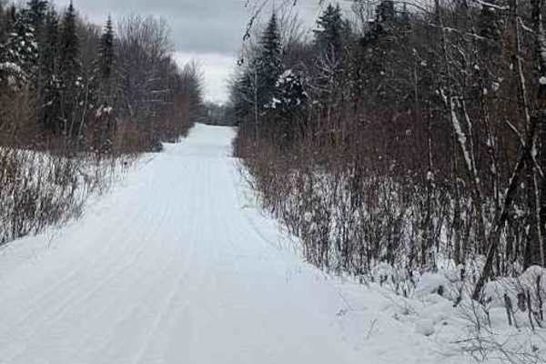
Balancing Rock Winter Trail
During the winter months from December to April this is a snowmobile trail, but the rest of the year it is a great way to head West towards the Balancing Rock attraction and the Plane Crash site. Taking the Mill road North, just east of Milleville, NB will get you to the beginning of this track. It ...
Learn more about Balancing Rock Winter Trail
North Tay Winter Trail
From December to mid-April, this is a snowmobile trail, but it's maintained throughout the year regardless. It skirts a lot of logging areas, and is relatively easy to get through in almost any all wheel drive vehicle. You can enter the trail from Military Road in the Crow Hill area, leading you to ...
Learn more about North Tay Winter Trail
Old Zealand Road
This old logging road connects Zealand, New Brunswick with Greenhill Lake, New Brunswick, and can be traversed by any 4x4 truck or Jeep. The trail leads through the stunning forests of New Brunswick and features a winding dirt road with several hard-bottom water holes ranging from 5 to 10 inches in ...
Learn more about Old Zealand Road
Upper Stone Ridge Winter Run
After Upper Stone Ridge Road dissolves into a dead end, this dirt road looks more like an ATV trail when you start. It leads into the managed snowmobile trail heading north in winter. Once you get through the first sandy hurtle, you can enjoy a solid and dry trail through deep woods. The Keswick Riv...
Learn more about Upper Stone Ridge Winter Run
Upper Stone Ridge Backend Pit
This pit is an access trail that continues past the Upper Stone Ridge Easy Sand Pit. After heading up the hill after a bend in the trail, there is an intersection of trails. Sticking to the left, you will enter an overgrown track going through an old logging area. The alders are quite young and have...
Learn more about Upper Stone Ridge Backend Pit
Upper Stone Ridge Easy Sand Pit
This pit trail is accessed towards the end of Upper Stone Ridge Road. The beginning of the trail has a small metal box on a stake in the ground, which is all that remains of the once active pit area. Heading north from here is a simple winding trail that ascends alongside the sandy material piles on...
Learn more about Upper Stone Ridge Easy Sand Pit
Beginner ATV trails near Washburn, Maine
Explore ATV-friendly trails near you. These trails are accessible for vehicles up to 50 inches wide, perfect for ATVs and smaller off-road machines.
Masardis Main ATV
This is a very well-maintained trail. The trail is a mix of ATV-only and mixed-use logging trails. An ATV Maine membership is required. It can be with any club affiliated with ATV Maine. Email the Masardis ATV club to request a membership application or to report trail damage. The club strives to ke...
Learn more about Masardis Main ATV
Michaud Woods
Very short, easy woods trail that allows you to bypass Masardis Main Street. This trail is part of the Masardis trail system. It does run through private land. Please respect the property owner and drive safely. Moose are frequently sighted on this trail. Hunting is not allowed. Always watch for tra...
Learn more about Michaud Woods
Millville Plane Crash
Heading west from Millville on the 104, you enter this trail through Becaguimac South Branch Road. It quickly turns into a track through Crowne woodlands. It is well maintained and very easy to traverse. This will eventually lead you to a plane crash from June 12, 1958. A plaque with information as ...
Learn more about Millville Plane Crash
Rocky Island Row
To the east of Millville, take the Mill road north. After 10 km or so, take a left onto this tight but scenic track, following a stream bed past Rocky Island. The trail is a fairly simple dirt track that will bring you out North of Balancing Rock. Cell service is limited after you pass Crabbe Mounta...
Learn more about Rocky Island Row
Beginner UTV/side-by-side trails near Washburn, Maine
Find UTV and side-by-side trails near you. These trails accommodate vehicles up to 60 inches wide, ideal for UTVs, side-by-sides, and wider off-road rigs.
Masardis Main ATV
This is a very well-maintained trail. The trail is a mix of ATV-only and mixed-use logging trails. An ATV Maine membership is required. It can be with any club affiliated with ATV Maine. Email the Masardis ATV club to request a membership application or to report trail damage. The club strives to ke...
Learn more about Masardis Main ATV
Michaud Woods
Very short, easy woods trail that allows you to bypass Masardis Main Street. This trail is part of the Masardis trail system. It does run through private land. Please respect the property owner and drive safely. Moose are frequently sighted on this trail. Hunting is not allowed. Always watch for tra...
Learn more about Michaud Woods
Millville Plane Crash
Heading west from Millville on the 104, you enter this trail through Becaguimac South Branch Road. It quickly turns into a track through Crowne woodlands. It is well maintained and very easy to traverse. This will eventually lead you to a plane crash from June 12, 1958. A plaque with information as ...
Learn more about Millville Plane Crash
Rocky Island Row
To the east of Millville, take the Mill road north. After 10 km or so, take a left onto this tight but scenic track, following a stream bed past Rocky Island. The trail is a fairly simple dirt track that will bring you out North of Balancing Rock. Cell service is limited after you pass Crabbe Mounta...
Learn more about Rocky Island Row
The onX Offroad Difference
onX Offroad combines trail photos, descriptions, difficulty ratings, width restrictions, seasonality, and more in a user-friendly interface. Available on all devices, with offline access and full compatibility with CarPlay and Android Auto. Discover what you're missing today!
Open Trail Map