Trail Overview
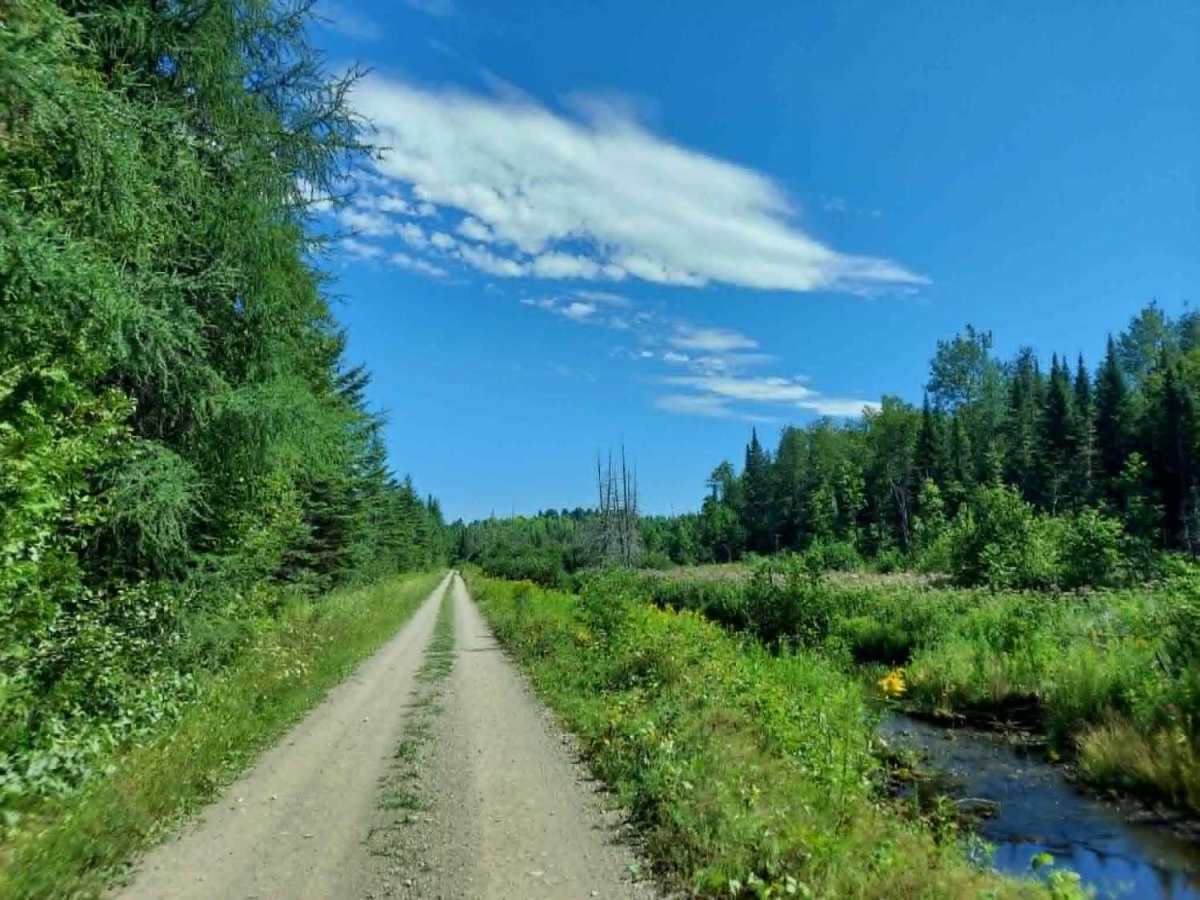
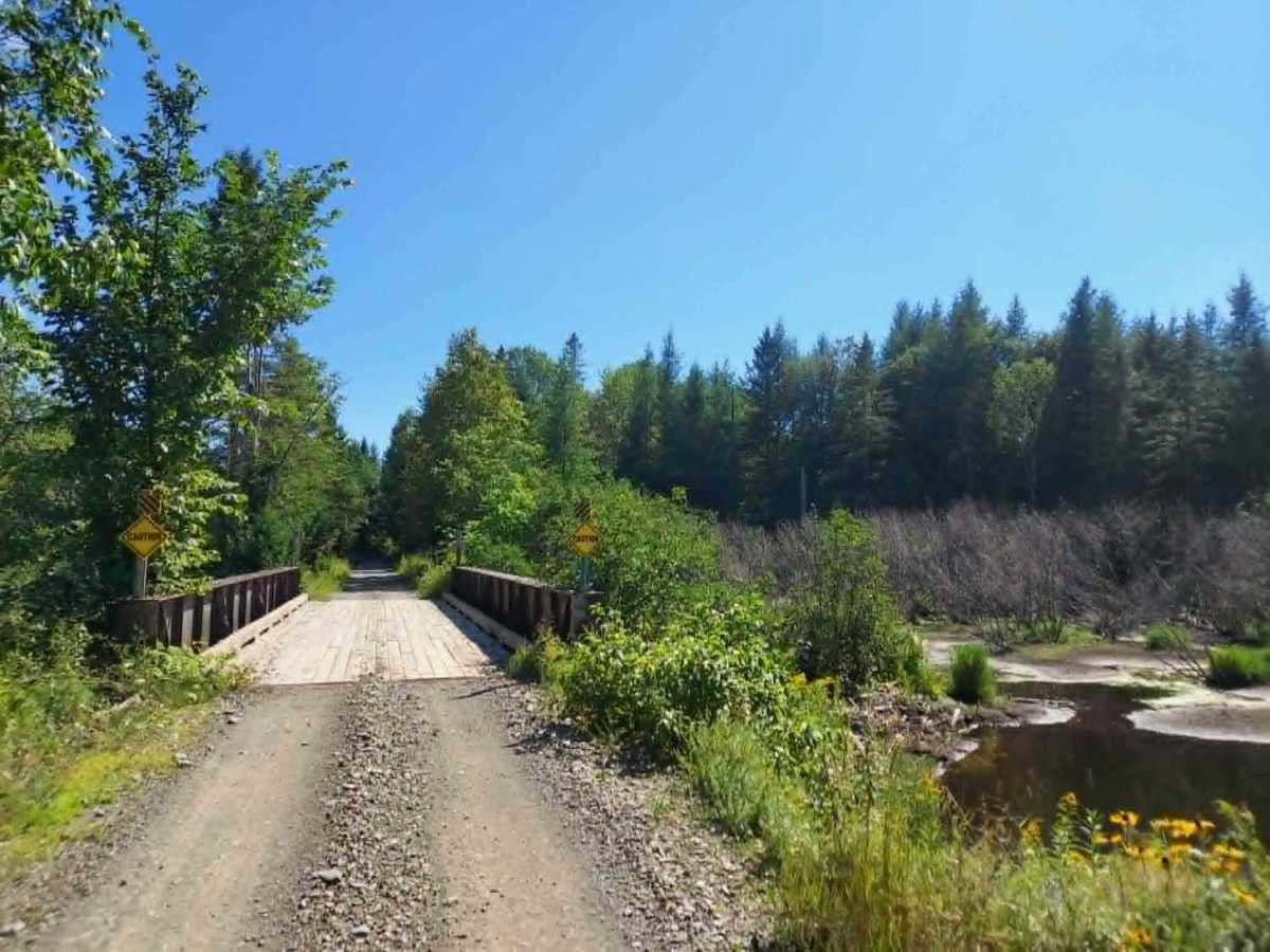
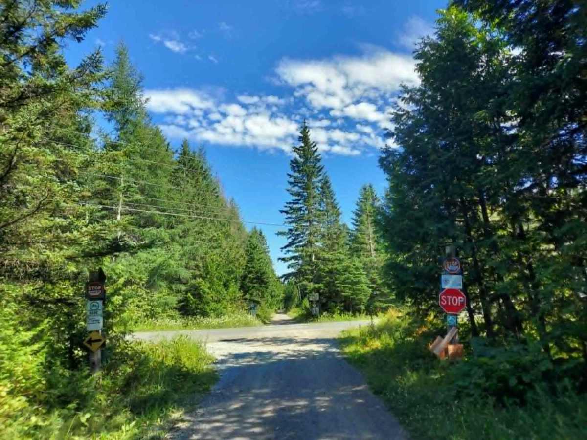
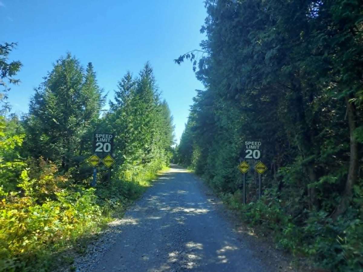
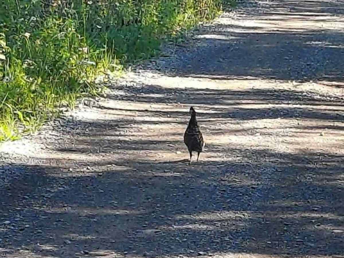
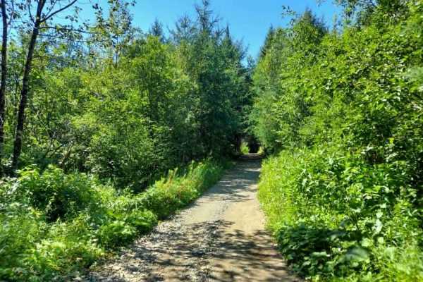
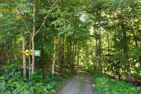
This northern section of the Bangor and Aroostook Trail follows an old railroad corridor featuring multiple bridges and scenic pull-off points. As a primary travel artery for the region, this route experiences heavy OHV traffic; please remain vigilant for oncoming machines and wildlife, especially during dawn and dusk. There are also multiple stop signs along the route for road crossings and driveway/right of way crossings. The speed limit is 40 mph, with a mandatory 20 mph reduction in the section passing directly in front of a residential property. While no additional permits are required, all machines must be registered in the state of Maine to be legal.
Difficulty
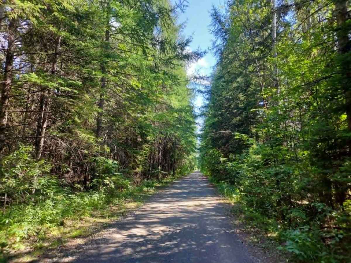
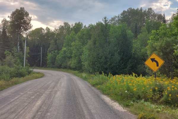
This trail is smooth, well-maintained, and fast, featuring consistent surfaces with no significant obstacles or technical challenges. It is regularly and actively maintained by local clubs and is easily accessible from multiple points along its length.
History
The trail occupies the historic corridor of the Bangor and Aroostook Railroad, which was incorporated in 1891 to serve the agricultural and timber industries of northern Maine. For nearly a century, this line transported Aroostook County's famous potato crops to markets across the United States. Following the decline of rail service, the corridor was acquired by the state and converted into a multi-use recreational trail.
Access Description
There are no user fees required to access the trail. All motorized vehicles, including ATVs and snowmobiles, must be registered in Maine. The trail is closed to all motorized vehicles during the spring mud season, typically from early April through late May, to protect the trail surface. Shared-use etiquette applies as hikers, bicyclists, and horseback riders also use this corridor.