
Beginner Off-Road Trails
Near Burlington, Wyoming
Explore All Beginner Trails Near Burlington, Wyoming
Beginner Off-Road Trails Near Burlington, Wyoming
Discover the best beginner-friendly off-road trails near you. These easier, lower-rated trails are a great place to start — browse trail maps, check difficulty ratings, and find your next adventure.
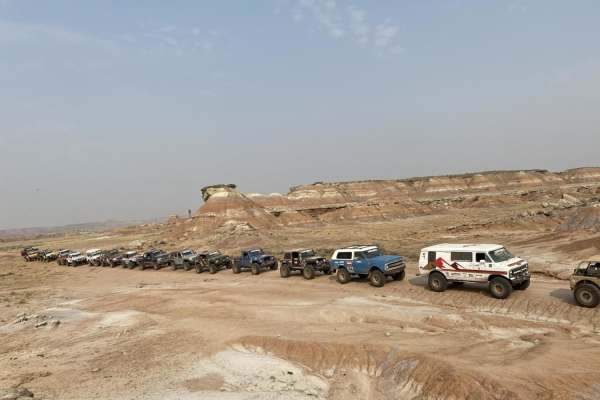
Fenton Pass
Fenton Pass offers an expansive, scenic point-to-point journey through the rugged badlands of the Bighorn Basin, making it an excellent option for overland enthusiasts, SxS riders, and four-wheel-drive vehicles seeking a remote backcountry experience. Starting near Worland, this graded dirt and grav...
Learn more about Fenton Pass
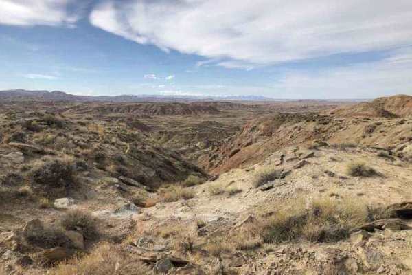
Gilmore Hill
This route passes through the McCullough Peaks Wild Horse range following BLM roads. The Southern section is Gravel road. The Northern section is a maintained dirt road. Regulations require staying 300 feet away from horses and there are signs to remind you. There are beautiful badlands on the N...
Learn more about Gilmore Hill
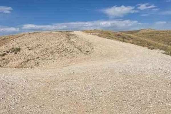
McCullough Peaks Road
McCullough Peaks Road is a very scenic road that goes up and down the McCullough Peaks and overlooks the McCullough Peaks Wilderness area. This is a very well-maintained gravel road that will be easily traversed with a low-clearance car. This also cuts through the McCullough Peaks Wild Horse Herd M...
Learn more about McCullough Peaks Road
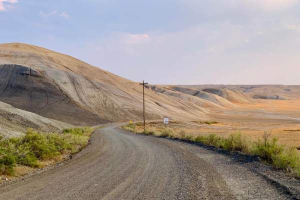
Torchlight Road
An easy trail through wide-open prairie land that seems to stretch to the horizon. Pronghorn, coyote, and rabbits are often seen. Cell service is spotty but available in more than 50% of the trail. Sunrise and sunset are the best times on this trail as the landscape really comes to life in the golde...
Learn more about Torchlight Road
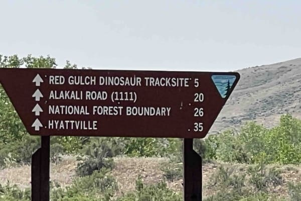
Red Gulch-Alkali Byway
This is a 32-mile trek through the foothills of the Big Horn mountains. This is a National Back Country Byway that crosses mostly BLM land, parallels private land and crosses private land several times but this is a dedicated road. The road is dirt and recommends a high clearance vehicle. 4wd is re...
Learn more about Red Gulch-Alkali Byway
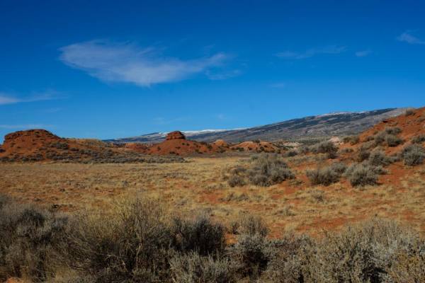
Gyp Springs Road
Gyp Springs Road provides a quick access between Hwy 310 at Warren, Montana to Hwy 37, northeast of Lovell, Wyoming, which leads to the southern end of the Bighorn Canyon National Recreation Area. Gyp Springs Road is a well-maintained gravel road and is accessible throughout most of the year with a ...
Learn more about Gyp Springs Road
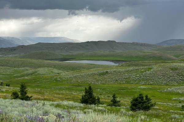
Monument Hill Access - FS 401
The trail begins at the end of Park County, Wyoming County Road 7UH. The first section is just gravel, level, county road, but turns more rugged further in. It is about 13.8 miles long with some ruts, rocks, and short but steep inclines. In wet weather, this could become very difficult. Although the...
Learn more about Monument Hill Access - FS 401
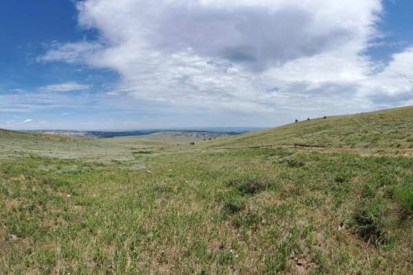
Sheep Mountain
This is a longer drawn out trail that starts out in Devils Canyon and takes you all the way to Montana. The first section of the trail is a gradual climb on gravel, but after that it narrows down to a little over a single vehicle wide and very rocky. As you approach the border it is a long winding d...
Learn more about Sheep Mountain
Little Horn
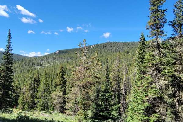
Shorter trail off of Alt. 14 but not short on sight seeing. This trail passes along Dayton Gulch and the Little Bighorn River ultimately coming to a dead end unless you want to switch to non-motorized means. Along the little Bighorn, be sure to look for animals as Moose frequent this lower area. The...
Learn more about Little Horn
Helt Road
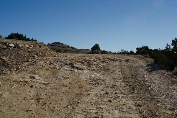
One of the many access routes to the Pryor Mountains, is Helt Road, leaving Warren, MT. Top off your tank in Bridger, MT and head south on Highway 310 to mile marker 5. Turn left (east) at Warren, MT just before the conveyor belt structure crosses above the highway. Turn at the sign that says "Mont...
Learn more about Helt Road
Crooked Creek Road
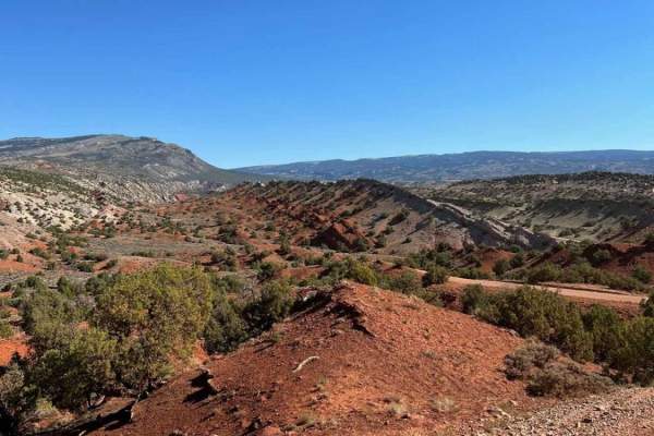
Crooked Creek Road (1017) is one of the many access routes to the top of the Pryor Mountains. Crooked Creek Road is accessed from the south either by Helt Road (1016) Gyp Spring Road (1015) or Pryor Mountain Road (2308) from the north. Traveling south to north, Crooked Creek Road begins on the Bur...
Learn more about Crooked Creek Road
Burgess
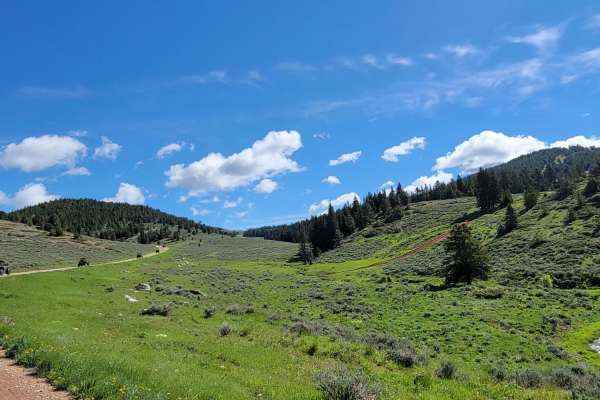
Long connecting trail with many spurs that can be taken. This trail is primarily gravel, but some areas do have rocks breaking the surface. It is also traveled by those making their way into the mountain to camp, so it is a wide trail but be on the watch for oncoming or slower vehicles.
Learn more about Burgess
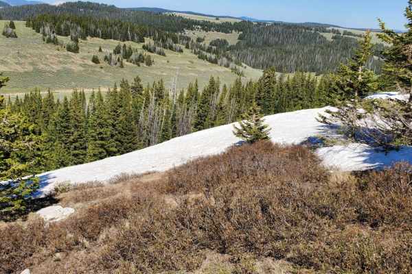
Bald Mountain
A long gravel stretch that has some medium rock spread through some of the higher areas of the trail. This trail passes along the South side of the peak of Bald mountain but is not short on elevation. Because of the higher area and lack of trees the wind will surely feel stronger when you are up her...
Learn more about Bald Mountain
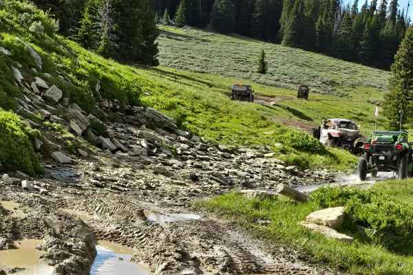
Fools Creek (FSR 178) - Ice Creek (FSR 142)
Fools Creek to Ice Creek Trail starts near where Highway 14A crosses the North Tongue River. You can access it from Hunt Mtn Rd (with only a short ride on the the pavement) or down from Burgess Junction. You travel north and east, reaching almost 10,000 feet in elevation. The trail includes some ste...
Learn more about Fools Creek (FSR 178) - Ice Creek (FSR 142)
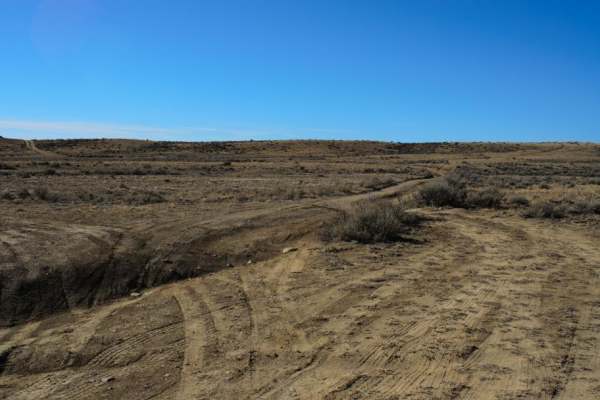
Petroglyphs Canyon Natural Area
One of the unique areas in the Pryor Mountain foothills is the Petroglyph Canyon Natural Area, located off Gyp Spring Roads. Turn south on the dirt two-track road. As soon as you cross the cattle guard, keep right (west). A deep, narrow, less than 12-inch wide erosion feature will need to be crosse...
Learn more about Petroglyphs Canyon Natural Area
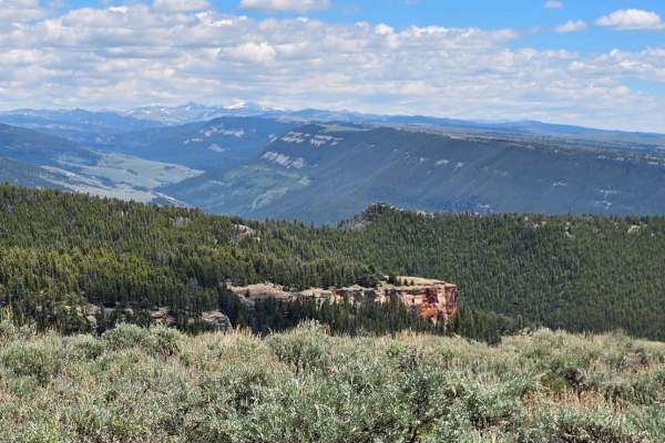
Sunlight Mesa (FSR207)
Sunlight Mesa drops from 9500 feet to just under 8000 feet in elevation, and it moves southwest from Hunt Mtn Rd to an overlook of the Big Horn Basin and Lovell down below. There are a couple of gates, and because they use this country for summer cattle and sheep grazing leases, please close any gat...
Learn more about Sunlight Mesa (FSR207)
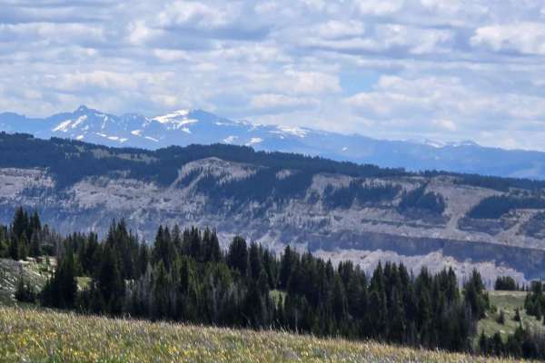
Long Park (FSR 209)
Between Grouse Creek and Sunlight Mesa, high in the Big Horn Mountains of Wyoming, you find Long Park (FSR 209). With a view to the south in the far distance of Cloud Peak Wilderness Area, the near-distance Copman Tomb (the yellowish/white rock cliff), and the Big Horn Basin to the west. This trail ...
Learn more about Long Park (FSR 209)
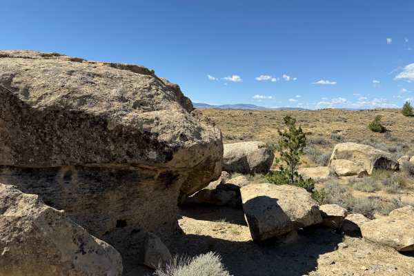
Lower Road
This is a less-traveled road linking the interior of the park with the northeast end of the Outer Loop Road. It connects the Outer Loop Road with Side By Side. With less traffic than other routes of the park, the path is less obvious and sometimes difficult to follow.
Learn more about Lower Road

Bobcat - Upper
This is a connector trail leading from the mid-section of Charlie over to Lower Bobcat, and by extension, the middle of the Side By Side and Picnic Area Trails. It's an easy route, but it might be difficult to find during times of heavy vegetation growth. It can provide an easier way to exit Charlie...
Learn more about Bobcat - Upper
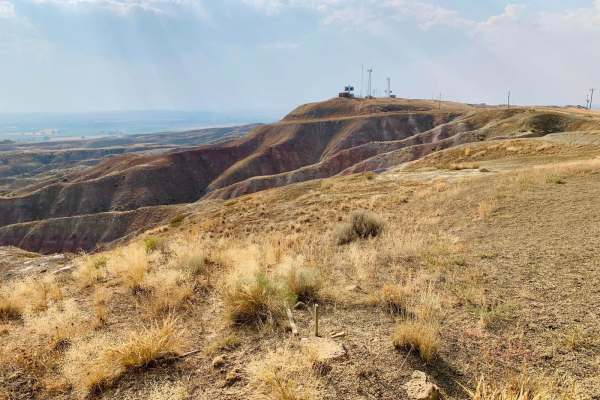
Rattlesnake Ridge Road
A scenic dirt trail that follows a winding path along the edge of the badlands cliff ridge overlooking the river valley. The trail traverses prairie grassland and eroded badlands canyons with spectacular colors and rock formations. Highly recommended to ride this trail near sunrise or sunset as the ...
Learn more about Rattlesnake Ridge Road
Beginner ATV trails near Burlington, Wyoming
Explore ATV-friendly trails near you. These trails are accessible for vehicles up to 50 inches wide, perfect for ATVs and smaller off-road machines.
Fenton Pass
Fenton Pass offers an expansive, scenic point-to-point journey through the rugged badlands of the Bighorn Basin, making it an excellent option for overland enthusiasts, SxS riders, and four-wheel-drive vehicles seeking a remote backcountry experience. Starting near Worland, this graded dirt and grav...
Learn more about Fenton Pass
Gilmore Hill
This route passes through the McCullough Peaks Wild Horse range following BLM roads. The Southern section is Gravel road. The Northern section is a maintained dirt road. Regulations require staying 300 feet away from horses and there are signs to remind you. There are beautiful badlands on the N...
Learn more about Gilmore Hill
McCullough Peaks Road
McCullough Peaks Road is a very scenic road that goes up and down the McCullough Peaks and overlooks the McCullough Peaks Wilderness area. This is a very well-maintained gravel road that will be easily traversed with a low-clearance car. This also cuts through the McCullough Peaks Wild Horse Herd M...
Learn more about McCullough Peaks Road
Torchlight Road
An easy trail through wide-open prairie land that seems to stretch to the horizon. Pronghorn, coyote, and rabbits are often seen. Cell service is spotty but available in more than 50% of the trail. Sunrise and sunset are the best times on this trail as the landscape really comes to life in the golde...
Learn more about Torchlight Road
Beginner UTV/side-by-side trails near Burlington, Wyoming
Find UTV and side-by-side trails near you. These trails accommodate vehicles up to 60 inches wide, ideal for UTVs, side-by-sides, and wider off-road rigs.
Fenton Pass
Fenton Pass offers an expansive, scenic point-to-point journey through the rugged badlands of the Bighorn Basin, making it an excellent option for overland enthusiasts, SxS riders, and four-wheel-drive vehicles seeking a remote backcountry experience. Starting near Worland, this graded dirt and grav...
Learn more about Fenton Pass
Gilmore Hill
This route passes through the McCullough Peaks Wild Horse range following BLM roads. The Southern section is Gravel road. The Northern section is a maintained dirt road. Regulations require staying 300 feet away from horses and there are signs to remind you. There are beautiful badlands on the N...
Learn more about Gilmore Hill
McCullough Peaks Road
McCullough Peaks Road is a very scenic road that goes up and down the McCullough Peaks and overlooks the McCullough Peaks Wilderness area. This is a very well-maintained gravel road that will be easily traversed with a low-clearance car. This also cuts through the McCullough Peaks Wild Horse Herd M...
Learn more about McCullough Peaks Road
Torchlight Road
An easy trail through wide-open prairie land that seems to stretch to the horizon. Pronghorn, coyote, and rabbits are often seen. Cell service is spotty but available in more than 50% of the trail. Sunrise and sunset are the best times on this trail as the landscape really comes to life in the golde...
Learn more about Torchlight Road
The onX Offroad Difference
onX Offroad combines trail photos, descriptions, difficulty ratings, width restrictions, seasonality, and more in a user-friendly interface. Available on all devices, with offline access and full compatibility with CarPlay and Android Auto. Discover what you're missing today!
Open Trail Map