
Beginner Off-Road Trails
Near Greybull, Wyoming
Explore All Beginner Trails Near Greybull, Wyoming
Beginner Off-Road Trails Near Greybull, Wyoming
Discover the best beginner-friendly off-road trails near you. These easier, lower-rated trails are a great place to start — browse trail maps, check difficulty ratings, and find your next adventure.
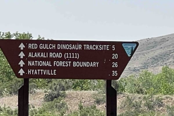
Red Gulch-Alkali Byway
This is a 32-mile trek through the foothills of the Big Horn mountains. This is a National Back Country Byway that crosses mostly BLM land, parallels private land and crosses private land several times but this is a dedicated road. The road is dirt and recommends a high clearance vehicle. 4wd is re...
Learn more about Red Gulch-Alkali Byway
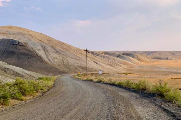
Torchlight Road
An easy trail through wide-open prairie land that seems to stretch to the horizon. Pronghorn, coyote, and rabbits are often seen. Cell service is spotty but available in more than 50% of the trail. Sunrise and sunset are the best times on this trail as the landscape really comes to life in the golde...
Learn more about Torchlight Road
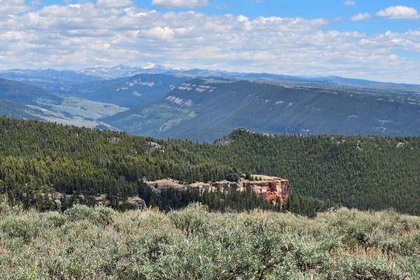
Sunlight Mesa (FSR207)
Sunlight Mesa drops from 9500 feet to just under 8000 feet in elevation, and it moves southwest from Hunt Mtn Rd to an overlook of the Big Horn Basin and Lovell down below. There are a couple of gates, and because they use this country for summer cattle and sheep grazing leases, please close any gat...
Learn more about Sunlight Mesa (FSR207)
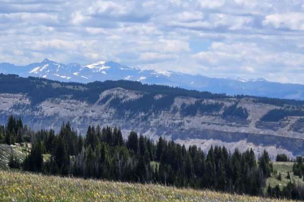
Long Park (FSR 209)
Between Grouse Creek and Sunlight Mesa, high in the Big Horn Mountains of Wyoming, you find Long Park (FSR 209). With a view to the south in the far distance of Cloud Peak Wilderness Area, the near-distance Copman Tomb (the yellowish/white rock cliff), and the Big Horn Basin to the west. This trail ...
Learn more about Long Park (FSR 209)
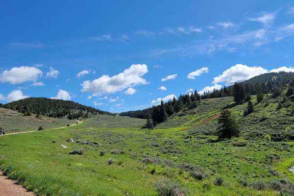
Burgess
Long connecting trail with many spurs that can be taken. This trail is primarily gravel, but some areas do have rocks breaking the surface. It is also traveled by those making their way into the mountain to camp, so it is a wide trail but be on the watch for oncoming or slower vehicles.
Learn more about Burgess
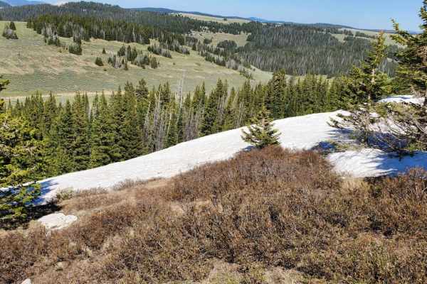
Bald Mountain
A long gravel stretch that has some medium rock spread through some of the higher areas of the trail. This trail passes along the South side of the peak of Bald mountain but is not short on elevation. Because of the higher area and lack of trees the wind will surely feel stronger when you are up her...
Learn more about Bald Mountain
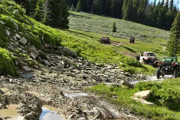
Fools Creek (FSR 178) - Ice Creek (FSR 142)
Fools Creek to Ice Creek Trail starts near where Highway 14A crosses the North Tongue River. You can access it from Hunt Mtn Rd (with only a short ride on the the pavement) or down from Burgess Junction. You travel north and east, reaching almost 10,000 feet in elevation. The trail includes some ste...
Learn more about Fools Creek (FSR 178) - Ice Creek (FSR 142)
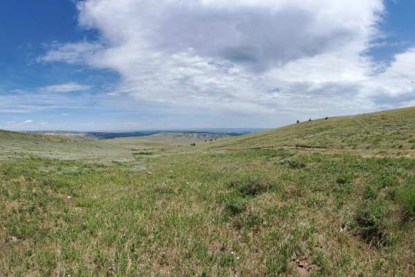
Sheep Mountain
This is a longer drawn out trail that starts out in Devils Canyon and takes you all the way to Montana. The first section of the trail is a gradual climb on gravel, but after that it narrows down to a little over a single vehicle wide and very rocky. As you approach the border it is a long winding d...
Learn more about Sheep Mountain
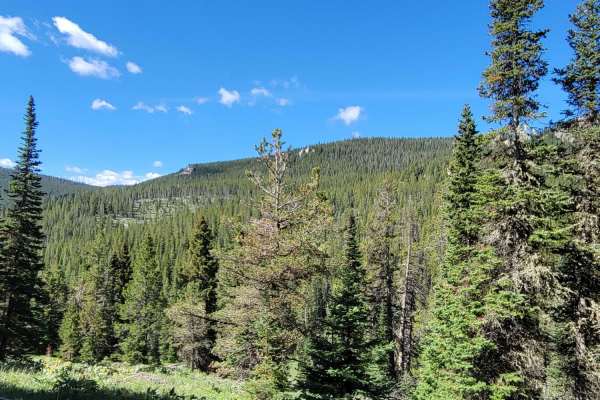
Little Horn
Shorter trail off of Alt. 14 but not short on sight seeing. This trail passes along Dayton Gulch and the Little Bighorn River ultimately coming to a dead end unless you want to switch to non-motorized means. Along the little Bighorn, be sure to look for animals as Moose frequent this lower area. The...
Learn more about Little Horn
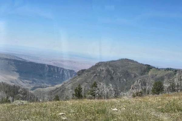
Grouse Creek (FSR 205)
Are the wide open spaces calling to you? This fantastic area in the Big Horn Mountains, west of Sheridan, Wyoming, has wide open spaces! Grouse Creek Trail takes you south from Hunt Mountain Road to an overlook of the Big Horn Basin. This area has some 50" trails, but many are wide enough for a full...
Learn more about Grouse Creek (FSR 205)
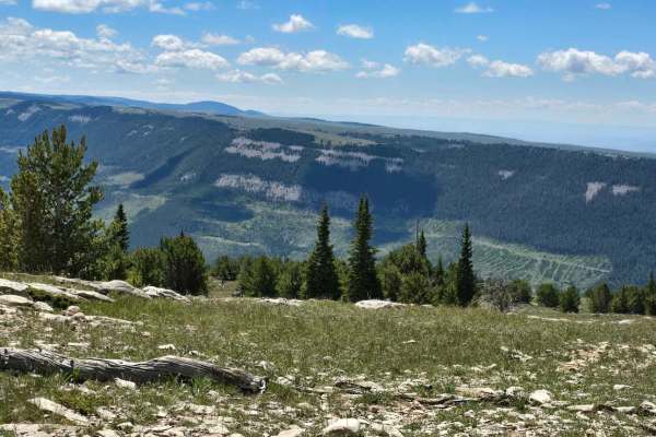
Grouse Creek Overlook Spur
This trail goes southwest from the Copman Tomb to Grouse Creek Trail and goes up to just over 9700 feet in elevation at an overlook of Grouse Creek. The flowers were in full bloom in early July, and the trail was mostly dry. There was still a bit of mud in the shady parts, under the pine trees, but ...
Learn more about Grouse Creek Overlook Spur
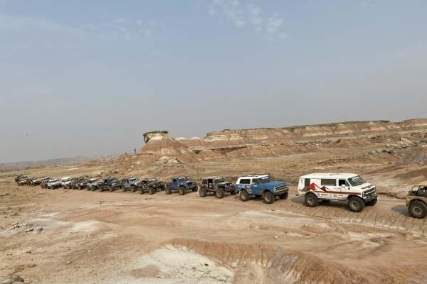
Fenton Pass
Fenton Pass offers an expansive, scenic point-to-point journey through the rugged badlands of the Bighorn Basin, making it an excellent option for overland enthusiasts, SxS riders, and four-wheel-drive vehicles seeking a remote backcountry experience. Starting near Worland, this graded dirt and grav...
Learn more about Fenton Pass
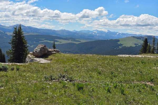
Copmans Tomb - Grouse Creek (Trails 216 & 219)
You travel south from Hunt Mountain Road and go generally southwest and then southeast along Grouse Creek, ending up at an overlook of Antelope Butte Ski Area. The trail winds through some incredible rock formations but there is only one place you go over the rocks where it requires good ground clea...
Learn more about Copmans Tomb - Grouse Creek (Trails 216 & 219)
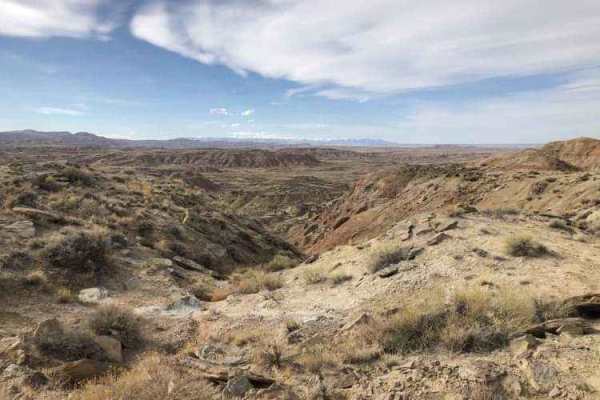
Gilmore Hill
This route passes through the McCullough Peaks Wild Horse range following BLM roads. The Southern section is Gravel road. The Northern section is a maintained dirt road. Regulations require staying 300 feet away from horses and there are signs to remind you. There are beautiful badlands on the N...
Learn more about Gilmore Hill
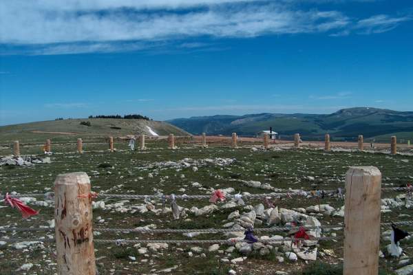
Hunt Mountain Road
Hunt Mountain Road is a scenic 22.6-mile high-elevation traverse across the backbone of the northern Bighorn Mountains, perfect for high-clearance four-wheel-drive vehicles, SxSs, and dirt bikes looking for breathtaking views and access to more remote terrain. Ranging between 8,978 and 10,027 feet i...
Learn more about Hunt Mountain Road
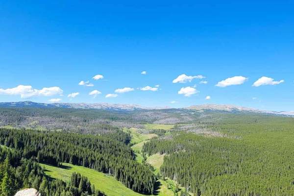
Paint Rock
The trail is passable by any high-clearance 4x4 and has lots of motorcycle traffic. It has rock fields, open meadows, dense forest coverage, and a couple of ponds. A windstorm recently knocked hundreds of trees down, which makes for great views and looks at the root system of the trees.
Learn more about Paint Rock
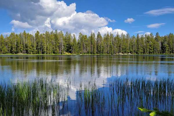
Duncan Lake
This is a fairly good road, for an unmaintained road, from Highway 14 to Duncan Lake. There are many scenic views along the way, and the small lake is stocked for fishing as well as being a beautiful high country lake. The road is primarily dirt with a few rocks and low spots that can be mud holes w...
Learn more about Duncan Lake
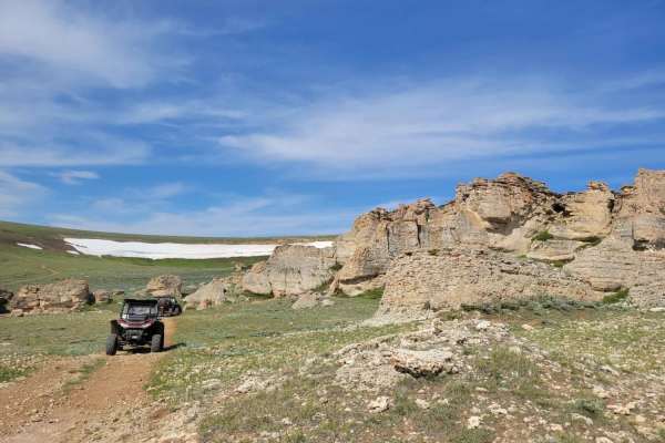
Bull Owen
Side spur that connects Hwy 14 to Hunt Mountain Road. This trail has some water crossing which is hard rocky bottom and is typical for the area. There is also a gradual slope that has some large rock to go over, but it's not too difficult. For the most part the trail consists of gravel and rock and ...
Learn more about Bull Owen

The Woodchuck
The Woodchuck is an approachable yet scenic three-mile trail in the Bighorn National Forest that serves as a key connector between Big Goose Road (Forest System Road 26) and Antelope Valley. Best suited for high-clearance four-wheel-drive vehicles, SxSs, and ATVs, this point-to-point route offers an...
Learn more about The Woodchuck
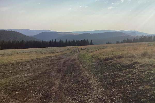
Garden of the Gods
This is an easy out-and-back road. The road ends at a locked gate where the trees begin. The road continues on into the trees, but can only be accessed by mountain bike, horseback, or foot. The road itself is a little rocky, but most 2WD vehicles will be fine.
Learn more about Garden of the Gods
Beginner ATV trails near Greybull, Wyoming
Explore ATV-friendly trails near you. These trails are accessible for vehicles up to 50 inches wide, perfect for ATVs and smaller off-road machines.
Red Gulch-Alkali Byway
This is a 32-mile trek through the foothills of the Big Horn mountains. This is a National Back Country Byway that crosses mostly BLM land, parallels private land and crosses private land several times but this is a dedicated road. The road is dirt and recommends a high clearance vehicle. 4wd is re...
Learn more about Red Gulch-Alkali Byway
Torchlight Road
An easy trail through wide-open prairie land that seems to stretch to the horizon. Pronghorn, coyote, and rabbits are often seen. Cell service is spotty but available in more than 50% of the trail. Sunrise and sunset are the best times on this trail as the landscape really comes to life in the golde...
Learn more about Torchlight Road
Sunlight Mesa (FSR207)
Sunlight Mesa drops from 9500 feet to just under 8000 feet in elevation, and it moves southwest from Hunt Mtn Rd to an overlook of the Big Horn Basin and Lovell down below. There are a couple of gates, and because they use this country for summer cattle and sheep grazing leases, please close any gat...
Learn more about Sunlight Mesa (FSR207)
Long Park (FSR 209)
Between Grouse Creek and Sunlight Mesa, high in the Big Horn Mountains of Wyoming, you find Long Park (FSR 209). With a view to the south in the far distance of Cloud Peak Wilderness Area, the near-distance Copman Tomb (the yellowish/white rock cliff), and the Big Horn Basin to the west. This trail ...
Learn more about Long Park (FSR 209)
Beginner UTV/side-by-side trails near Greybull, Wyoming
Find UTV and side-by-side trails near you. These trails accommodate vehicles up to 60 inches wide, ideal for UTVs, side-by-sides, and wider off-road rigs.
Red Gulch-Alkali Byway
This is a 32-mile trek through the foothills of the Big Horn mountains. This is a National Back Country Byway that crosses mostly BLM land, parallels private land and crosses private land several times but this is a dedicated road. The road is dirt and recommends a high clearance vehicle. 4wd is re...
Learn more about Red Gulch-Alkali Byway
Torchlight Road
An easy trail through wide-open prairie land that seems to stretch to the horizon. Pronghorn, coyote, and rabbits are often seen. Cell service is spotty but available in more than 50% of the trail. Sunrise and sunset are the best times on this trail as the landscape really comes to life in the golde...
Learn more about Torchlight Road
Sunlight Mesa (FSR207)
Sunlight Mesa drops from 9500 feet to just under 8000 feet in elevation, and it moves southwest from Hunt Mtn Rd to an overlook of the Big Horn Basin and Lovell down below. There are a couple of gates, and because they use this country for summer cattle and sheep grazing leases, please close any gat...
Learn more about Sunlight Mesa (FSR207)
Long Park (FSR 209)
Between Grouse Creek and Sunlight Mesa, high in the Big Horn Mountains of Wyoming, you find Long Park (FSR 209). With a view to the south in the far distance of Cloud Peak Wilderness Area, the near-distance Copman Tomb (the yellowish/white rock cliff), and the Big Horn Basin to the west. This trail ...
Learn more about Long Park (FSR 209)
The onX Offroad Difference
onX Offroad combines trail photos, descriptions, difficulty ratings, width restrictions, seasonality, and more in a user-friendly interface. Available on all devices, with offline access and full compatibility with CarPlay and Android Auto. Discover what you're missing today!
Open Trail Map