
Beginner Off-Road Trails
Near Belleair Beach, Florida
Explore All Beginner Trails Near Belleair Beach, Florida
Beginner Off-Road Trails Near Belleair Beach, Florida
Discover the best beginner-friendly off-road trails near you. These easier, lower-rated trails are a great place to start — browse trail maps, check difficulty ratings, and find your next adventure.
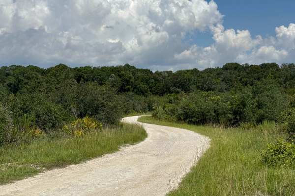
North Road
The North Road is one of the few dirt roads in the Chassahowitzka Wildlife Management Area. The trail starts in the Scrub Island district and gives you access to several hiking trails, a picnic area at the trailhead, and a boardwalk that leads to one of the two caves for scuba divers. The trail is a...
Learn more about North Road
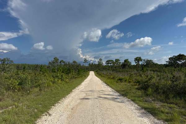
South Road
The South Road is one of the few dirt roads in the Chassahowitzka Wildlife Management Area. The trail starts at Rattlesnake Camp Road and gives you access to several hiking trails, a picnic area at the end of the trail, and a boardwalk that leads to one of the two caves for scuba divers. The trail i...
Learn more about South Road
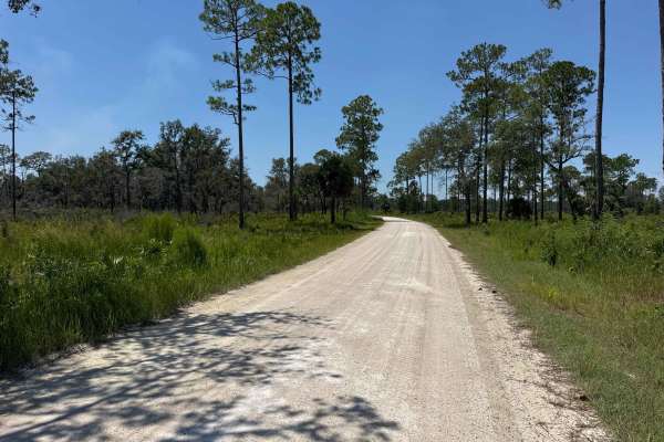
Rattlesnake Camp Road
The Rattlesnake Camp Road is one of the few dirt roads in the Chassahowitzka Wildlife Management Area. The trail starts at US Highway 19 at the main entrance and gives you access to the two main trails and a picnic area at the end of the trail. The trail is a sand forestry road with some soft sand s...
Learn more about Rattlesnake Camp Road
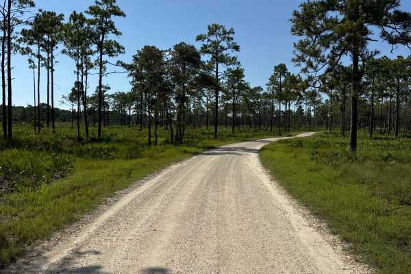
Thunder's Crossing
Thunder's Crossing is one of the few dirt roads in the Chassahowitzka Wildlife Management Area. The trail connects North Road and Rattlesnake Camp Road. The trail is a sand forestry road with some soft sand spots that can turn into mud holes after heavy rain. The road is not always wide enough for t...
Learn more about Thunder's Crossing
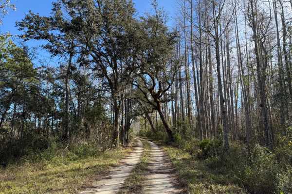
Cumpressco Grade
This trail is located within the Green Swamp West Wildlife Management Area. This trail and WMA are open to public access year-round, except during the special-opportunity archery, general gun, and spring turkey seasons. Access is limited to only registered motor vehicles. The use of all-terrain vehi...
Learn more about Cumpressco Grade
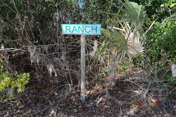
Ranch Road
This trail is located within the Green Swamp West Wildlife Management Area. This trail and WMA are open to public access year-round, except during the special-opportunity archery, general gun, and spring turkey seasons. Access is limited to only registered motor vehicles. The use of all-terrain vehi...
Learn more about Ranch Road
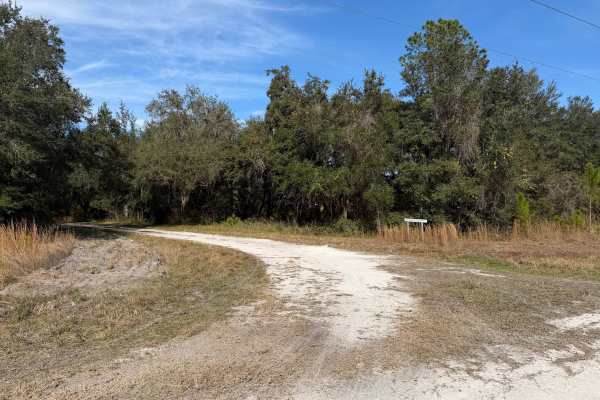
Cedar Pocket Road
This trail is located within the Green Swamp West Wildlife Management Area. This trail and WMA are open to public access year-round, except during the special-opportunity archery, general gun, and spring turkey seasons. Access is limited to only registered motor vehicles. The use of all-terrain vehi...
Learn more about Cedar Pocket Road
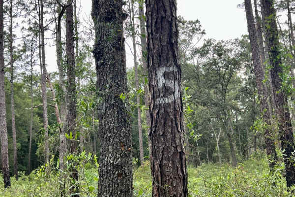
Crooms Wildlife Management | Trail 5
Trail 5 is a dirt and clay road with occasional deep sandy patches. Along the trail, you will find a biking and hiking trail as well as a paved road crossing. Wildlife along this trail is plentiful with deer sightings. You will find built-up walls that create a cool experience. Phone signal is okay,...
Learn more about Crooms Wildlife Management | Trail 5
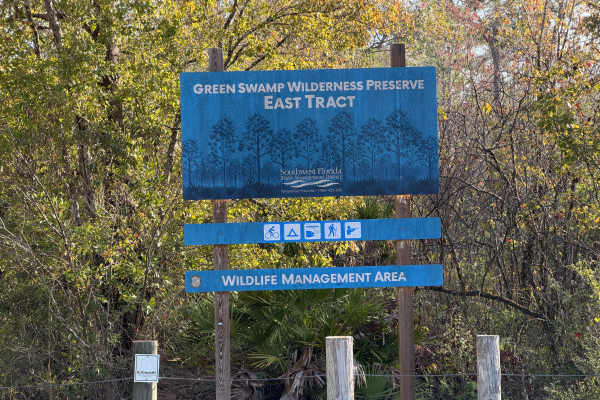
Main Grade
This trail is located within the Green Swamp Wildlife Management Area (WMA), also known as Green Swamp East. Access is limited to specific periods of the year. Some of those periods require special quota permits issued by the Florida Fish and Wildlife Commission (FWC). Public access is limited to pe...
Learn more about Main Grade
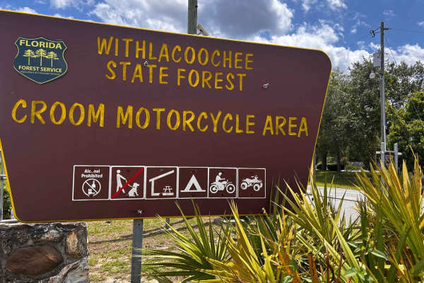
Croom ORV Park
Croom Motorcycle Park spans over 2,600 acres of tree-covered trails managed by the State of Florida. Whether you plan to ride for a few hours or the entire day, you'll find that you'll never ride the same trail twice. The outermost trail is the widest, while the park is filled with a variety of sing...
Learn more about Croom ORV Park
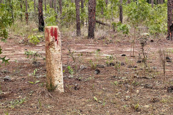
Crooms Wildlife Management | Trail 4
Trail 4 is a dirt & clay road with some sand patches along the way. The pine forests and oak hammocks provide a nice shaded journey and wildlife sightings. This trail definitely has the potential to become very muddy during raining season. It is easy to stay on course due to the blue paint marks on ...
Learn more about Crooms Wildlife Management | Trail 4
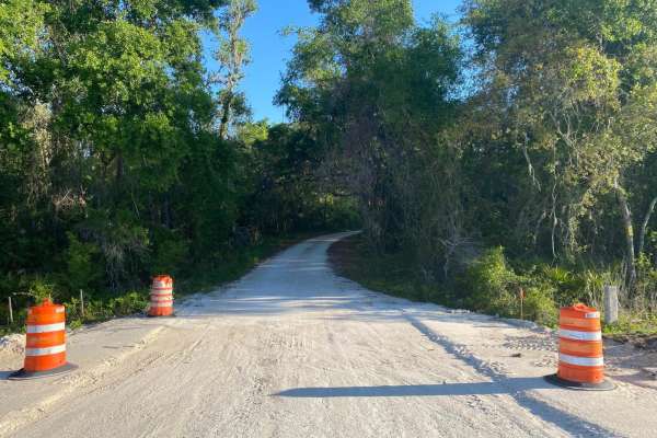
McKinney Sink Road
This trail is located within the Florida Fish and Wildlife Commission's (FWC) Richloam Wildlife Management Area (WMA), which is one of seven tracts that compose Withlacoochee State Forest. The Richloam tract consists of 58,000-plus acres crossing over four counties in northcentral Florida. Public ac...
Learn more about McKinney Sink Road
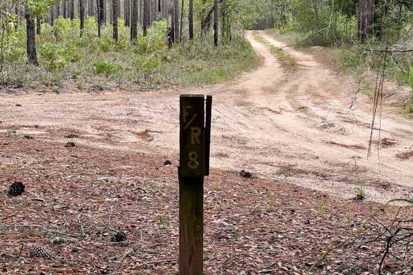
Crooms Wildlife Management | Trail 8
Trail 8 is mostly pine trees with a few oak hammocks, filled with deer and other wildlife. This trail has obstacles such as deep mud holes, sand patches, and slick steep grades when it's raining. There are a few hiking, biking, and off-road trail crossings along the way. Easy to stay on the trail du...
Learn more about Crooms Wildlife Management | Trail 8
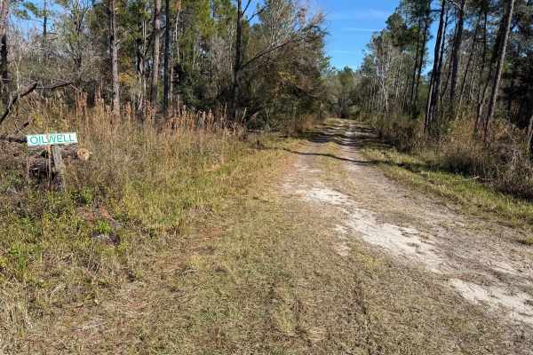
Oilwell Road
This trail is located within the Green Swamp West Wildlife Management Area. This trail and WMA are open to public access year-round, except during the special-opportunity archery, general gun, and spring turkey seasons. Access is limited to only registered motor vehicles. The use of all-terrain vehi...
Learn more about Oilwell Road
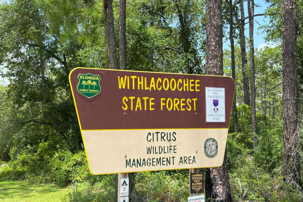
Citrus Wildlife Management | Trail 13
Trail 13 can be started off West Stage Coach Trail or Highway 44, taking you from North to South through the Wildlife Management Area. This trail is known as a "Purple Heart Trail" meaning it is the symbolic trail to give tribute to Men and Women that have been awarded the Purple Heart medal. You ca...
Learn more about Citrus Wildlife Management | Trail 13
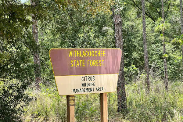
Citrus Wildlife Management | 11B
This trail is right off of West Stage Coach Trail, you can expect sugar sand, dirt & limestone with some wet areas along the way. When it is rainy season in Florida this trail can become very wet/muddy, but there are bypasses if needed. This is a great trail to access the Citrus Wildlife Management ...
Learn more about Citrus Wildlife Management | 11B
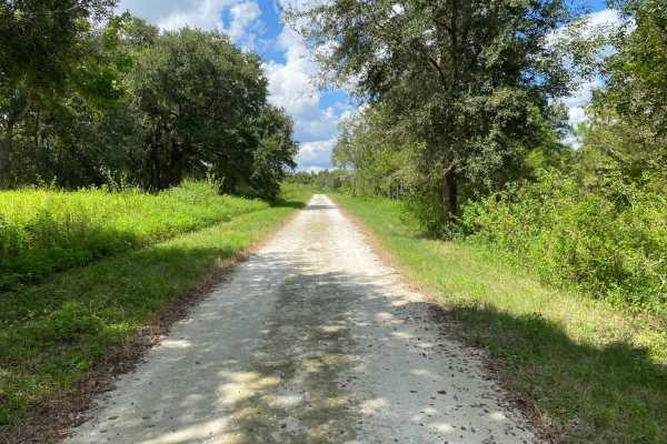
Dove Field Road
Dove Field Road is located within the Tenoroc Wildlife Management Area (WMA). This WMA is situated in Polk County, outside of Lakeland. Tenoroc WMA is open to public recreational use year-round, Friday through Monday from 6am to 8pm. A daily use permit is required to access the WMA. On the road lead...
Learn more about Dove Field Road
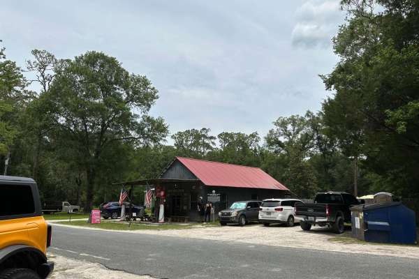
Withlacoochee State Forest and 471 Loop
This loop connects North Grade Road and Gator Hole Crossing by crossing over the 471 and circling the interior of the Withlacoochee State Forest. It is fairly easy to navigate and passes an old General Store frequented by trail riders and locals. You will find a lot of off-road vehicles surrounding ...
Learn more about Withlacoochee State Forest and 471 Loop
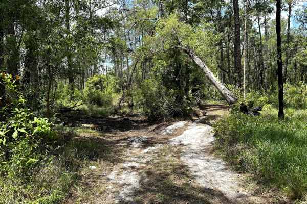
Gator Hole Throughway
The gator hole throughway runs parallel to South Grade Road from the 471 though the management area. It features consistently tight trails, mild sand and minor mud spots. In all, this is a nice ride through the woods - albeit claustrophobic. Don't expect many places to pass or turn around and, be su...
Learn more about Gator Hole Throughway
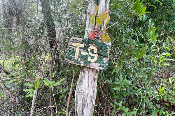
Crooms Wildlife Management | Trail 9
Trail 9 is a beautiful trail that includes slight off-camber obstacles, and has the potential to be wet during the rainy season. This trail winds through oak hammocks and pine forests giving you a nice scenic ride to see wildlife along the way. Along the trail, there are multiple horse, biking & hik...
Learn more about Crooms Wildlife Management | Trail 9
Beginner ATV trails near Belleair Beach, Florida
Explore ATV-friendly trails near you. These trails are accessible for vehicles up to 50 inches wide, perfect for ATVs and smaller off-road machines.
Croom ORV Park
Croom Motorcycle Park spans over 2,600 acres of tree-covered trails managed by the State of Florida. Whether you plan to ride for a few hours or the entire day, you'll find that you'll never ride the same trail twice. The outermost trail is the widest, while the park is filled with a variety of sing...
Learn more about Croom ORV Park
McKinney Sink Road
This trail is located within the Florida Fish and Wildlife Commission's (FWC) Richloam Wildlife Management Area (WMA), which is one of seven tracts that compose Withlacoochee State Forest. The Richloam tract consists of 58,000-plus acres crossing over four counties in northcentral Florida. Public ac...
Learn more about McKinney Sink Road
Withlacoochee State Forest and 471 Loop
This loop connects North Grade Road and Gator Hole Crossing by crossing over the 471 and circling the interior of the Withlacoochee State Forest. It is fairly easy to navigate and passes an old General Store frequented by trail riders and locals. You will find a lot of off-road vehicles surrounding ...
Learn more about Withlacoochee State Forest and 471 Loop
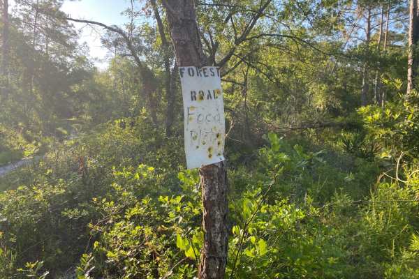
Porter Gap Road
This trail is located within the Florida Fish and Wildlife Commission's (FWC) Richloam Wildlife Management Area (WMA), which is one of seven tracts that compose Withlacoochee State Forest. The Richloam tract consists of 58,000-plus acres crossing over four counties in northcentral Florida. Public ac...
Learn more about Porter Gap Road
Beginner UTV/side-by-side trails near Belleair Beach, Florida
Find UTV and side-by-side trails near you. These trails accommodate vehicles up to 60 inches wide, ideal for UTVs, side-by-sides, and wider off-road rigs.
McKinney Sink Road
This trail is located within the Florida Fish and Wildlife Commission's (FWC) Richloam Wildlife Management Area (WMA), which is one of seven tracts that compose Withlacoochee State Forest. The Richloam tract consists of 58,000-plus acres crossing over four counties in northcentral Florida. Public ac...
Learn more about McKinney Sink Road
Withlacoochee State Forest and 471 Loop
This loop connects North Grade Road and Gator Hole Crossing by crossing over the 471 and circling the interior of the Withlacoochee State Forest. It is fairly easy to navigate and passes an old General Store frequented by trail riders and locals. You will find a lot of off-road vehicles surrounding ...
Learn more about Withlacoochee State Forest and 471 Loop
Porter Gap Road
This trail is located within the Florida Fish and Wildlife Commission's (FWC) Richloam Wildlife Management Area (WMA), which is one of seven tracts that compose Withlacoochee State Forest. The Richloam tract consists of 58,000-plus acres crossing over four counties in northcentral Florida. Public ac...
Learn more about Porter Gap Road
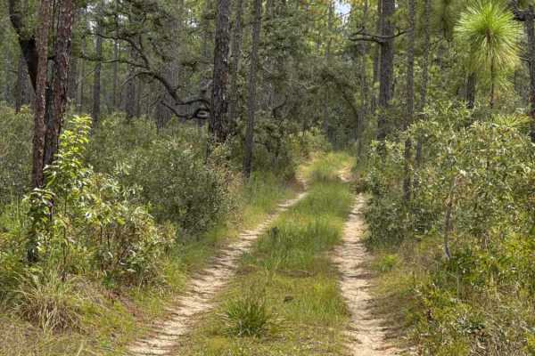
Trail 18a - Citrus WMA
Trail 18a takes you from Trail 16 at the east end to Trail 15 at the west end of the trail in the southern part of the Citrus Wildlife Management Area. The road conditions are a mixture of packed sand, loose sand, and some deep holes that can turn into 2-foot deep mud holes after rainy days. The roa...
Learn more about Trail 18a - Citrus WMA
The onX Offroad Difference
onX Offroad combines trail photos, descriptions, difficulty ratings, width restrictions, seasonality, and more in a user-friendly interface. Available on all devices, with offline access and full compatibility with CarPlay and Android Auto. Discover what you're missing today!
Open Trail Map