
Beginner Off-Road Trails
Near Barstow, Washington
Explore All Beginner Trails Near Barstow, Washington
Beginner Off-Road Trails Near Barstow, Washington
Discover the best beginner-friendly off-road trails near you. These easier, lower-rated trails are a great place to start — browse trail maps, check difficulty ratings, and find your next adventure.
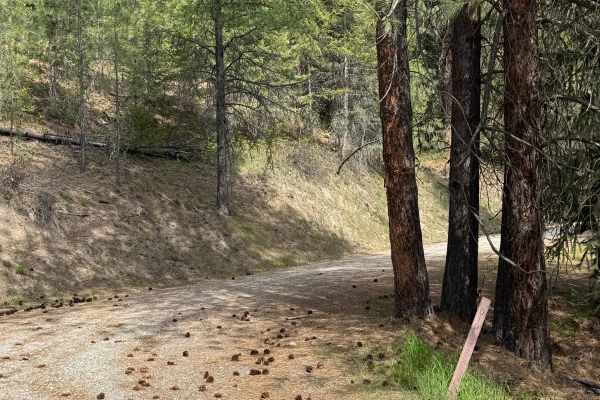
Snow Cap - FS 6100-010
This is an easy gravel forest road that gradually climbs more than 1,200 feet in elevation. The trail is narrow and one lane in many places, but there are places to pass. There are ledges and drop-offs, but the trail is in very good condition. The trail has minor wash and ruts, but any vehicle type ...
Learn more about Snow Cap - FS 6100-010
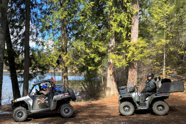
Kelly Hill Loop
This road route features both paved and gravel roads with many connector roads for vehicles with off-road tags, both county and Forest Service roads. Starting in Orient, WA, off Highway 395 near the Canadian border, you'll drive along the Kettle River through historical mining country, past the onl...
Learn more about Kelly Hill Loop
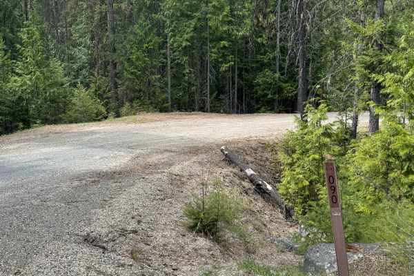
Lower Cabin - FS 6100-090
This gravel-based forest road gradually climbs up along a ridge on Bulldog Mountain. There is a bridge over Lower Cabin Creek, and also cattle guards, so you will need to watch your speed. The trail has minor ruts and wash, and running spring water on a section of the trail. At the end, there is an ...
Learn more about Lower Cabin - FS 6100-090
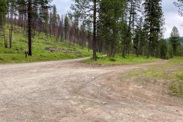
Sheep Creek
Gravel road for the most part, with occasional dirt/muddy areas, depending on weather. Easy ride, gentle pitches.
Learn more about Sheep Creek
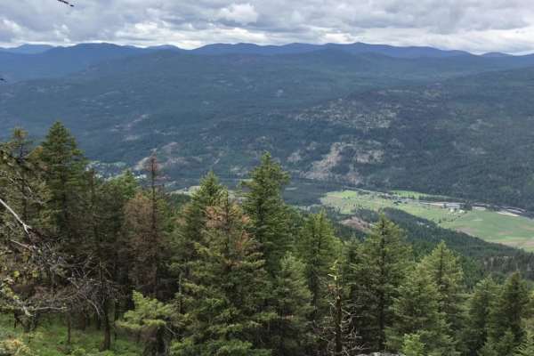
Orient-First Thought
This scenic 20-mile loop is perfect for beginners, families, and those seeking a relaxing dirt road excursion with panoramic views of the Kettle River Valley. Beginning near the small community of Orient, Washington, off Highway 395, this easy, rating-2 trail winds around and climbs up First Thought...
Learn more about Orient-First Thought
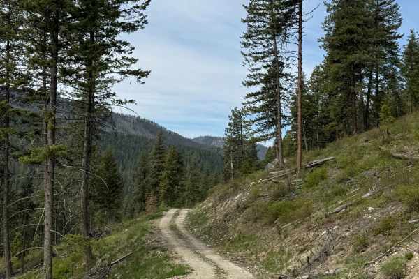
Tamarack Spring Trail
This gravel-based 2-track forest road leads up the ridge to Tamarack Spring from the East North Boulder Ridge Trail. The trail is one vehicle wide with a ledge, but has room to pass in the switchback. Once you make it to the top, the Spring feeds water into a livestock water trough. You will have vi...
Learn more about Tamarack Spring Trail
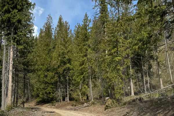
East North Boulder Ridge
This gravel forest road is an easy drive overall. The route is narrow in most places and is generally only one vehicle wide, but there are occasional pull-offs for passing. The trail gradually climbs and includes a few ledges with drop-offs. Aside from two switchbacks, the road is mostly straight wi...
Learn more about East North Boulder Ridge
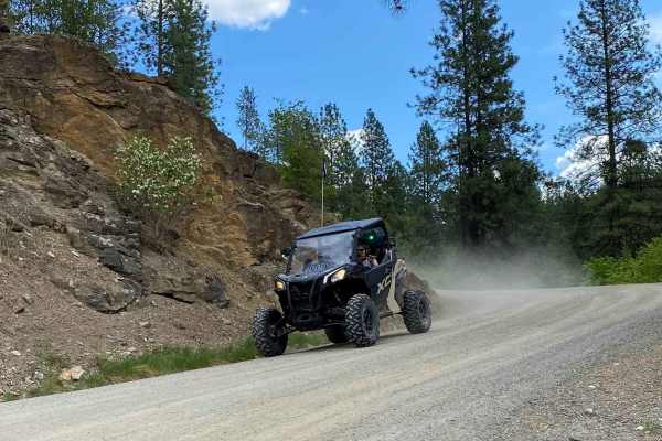
Rigley Lake
Rigley Lake offers miles of state DNR lands for riding. This route features a visit to Rigley Lake, then to the NW corner of the DNR lands for a viewpoint overlooking Lake Roosevelt National Recreation Area and into Canada. The route then heads down county roads to the Columbia River where OHVs have...
Learn more about Rigley Lake
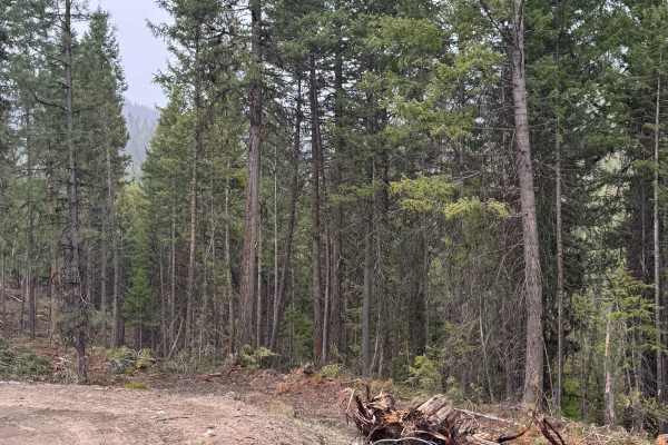
Echo Creek - FS 6113-325
This is a dirt-based forest road that has active logging activity. The road is muddy and slick in some areas, especially after rain, and has minimal wash and ruts. The trail gradually climbs over 1,000 feet in elevation and offers views of the surrounding peaks. There are a few switchbacks, and the ...
Learn more about Echo Creek - FS 6113-325
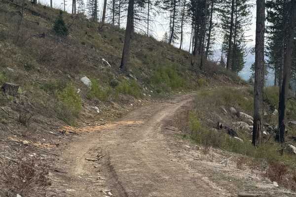
FS 6100-078
This is a short, dirt-based forest road that climbs up to a flat spot on a ridge. There are some ruts and wash along the trail, but nothing over 6-8 inches, and any vehicle could travel this with no issue. The trail is narrow and one vehicle wide, but the end offers a large, flat, round area for dis...
Learn more about FS 6100-078
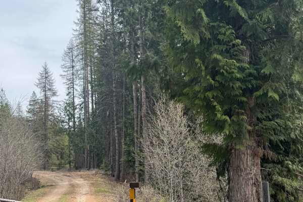
West North Boulder Ridge
This is a dirt-based forest road that is 2-track in many sections. The trail is a narrow, one-lane road that does have places to pass. There are minor ruts and washes, but any vehicle type could traverse this trail with no issues. There are ledges with small drop-offs, but the trail is wide enough t...
Learn more about West North Boulder Ridge
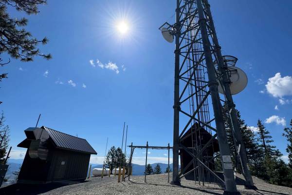
Radio Tower - FS 9500-585
This is a gravel-based trail that travels along a ridge of Bisbee Mountain on the State of Washington land. The trail is narrow and 2-track in most areas, but there were minimal ruts and a relatively smooth ride. The trail is flat for the most part and will take you past some radio towers that have ...
Learn more about Radio Tower - FS 9500-585
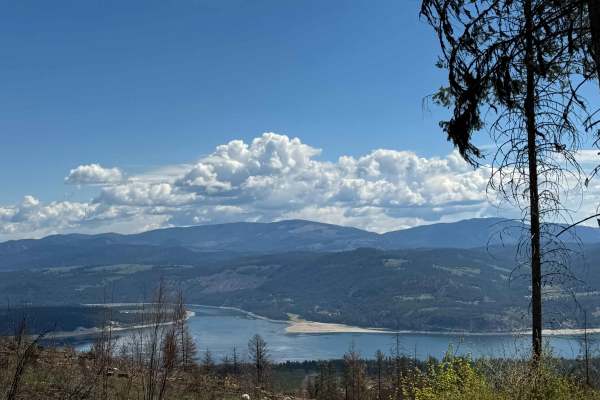
Nancy Creek Road
This is a gravel-based road through the State of Washington owned land. The trail climbs gradually to Bisbee Mountain, gaining approximately 1,973 feet in elevation. The trail is narrow with room for passing, and it is a shelf road in a few sections with ledges and switchbacks. There was minimal was...
Learn more about Nancy Creek Road
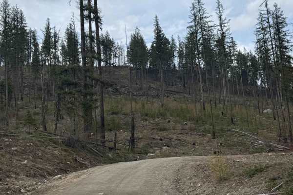
Goat Creek - FS 6100-215
This forest road starts off being gravel-based, but transitions to dirt about halfway through. The trail gradually climbs in the beginning with some ledges, then levels out quite a bit. You will travel through an old, burnt forest area, and the trail dead ends into overgrown and downed trees. There ...
Learn more about Goat Creek - FS 6100-215
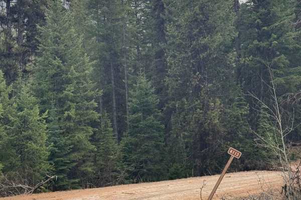
Taylor Ridge Trail
This gravel forest road travels 17 miles through the National Forest. It is a smooth gravel road with minimal washboard and ruts, making it suitable for any vehicle type. The trail travels between Rabbit and Bulldog Mountain and climbs to an elevation of 5,138 feet. From the high point, you have an ...
Learn more about Taylor Ridge Trail
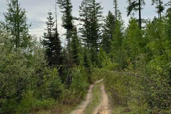
DNR Road E363717
This is a narrow, two-track road on Washington DNR Land. The trail is dirt-based with rocky sections and loose rock. It is extremely narrow, and there are few places to pass. Camping is available along this route within 100 feet of the road on either side, and you may stay up to 21 days. A Discover ...
Learn more about DNR Road E363717
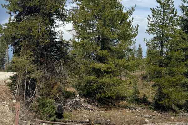
FS 6100-227
This forest road starts on gravel and quickly turns to dirt. There are sections where the trail is a 2-track and narrow, but wide enough to pass other vehicles should you encounter any. There are areas of ruts and wash, and portions of this trail had standing water/puddles and were muddy. The trail...
Learn more about FS 6100-227
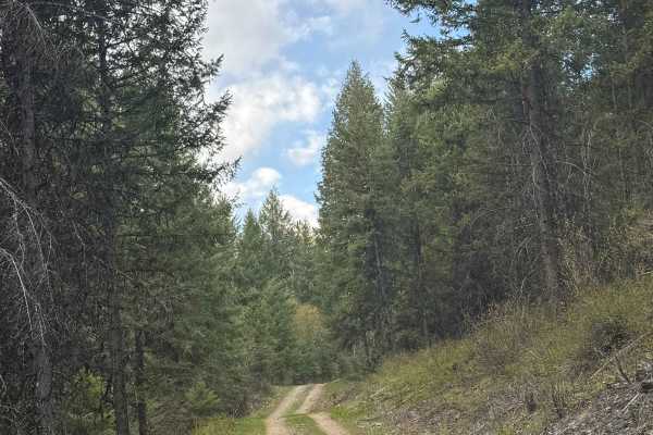
FS 1500-176
This is a dirt-based, 2-track forest road. The road used to go further and connect to another trail, but a washout has ended that. The road now dead-ends into ATV trails after crossing through a small piece of private land owned by a mining company at Easter Sunday Mine. There are dispersed camping ...
Learn more about FS 1500-176
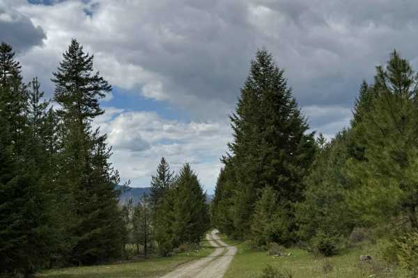
Box Canyon - FS 1500-030
This is a gravel-based forest road that runs through the National Forest into Private land. The trail passes by Summit Lake, and you will have a view of the pretty alpine lake. The beginning of the trail is more narrow and wooded, but closer to the end, it opens up to meadows before entering private...
Learn more about Box Canyon - FS 1500-030
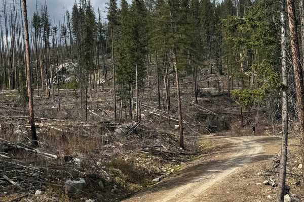
Dry Creek - FS 6100-350
This is a gravel-based forest road that gradually climbs up a ridge in front of Dry Mountain. Not sure where the name came from because there was no creek to be found. This is a narrow road with a few switchbacks that has some overgrown vegetation and travels through an old burn, so there are trees ...
Learn more about Dry Creek - FS 6100-350
Beginner ATV trails near Barstow, Washington
Explore ATV-friendly trails near you. These trails are accessible for vehicles up to 50 inches wide, perfect for ATVs and smaller off-road machines.
Snow Cap - FS 6100-010
This is an easy gravel forest road that gradually climbs more than 1,200 feet in elevation. The trail is narrow and one lane in many places, but there are places to pass. There are ledges and drop-offs, but the trail is in very good condition. The trail has minor wash and ruts, but any vehicle type ...
Learn more about Snow Cap - FS 6100-010
Kelly Hill Loop
This road route features both paved and gravel roads with many connector roads for vehicles with off-road tags, both county and Forest Service roads. Starting in Orient, WA, off Highway 395 near the Canadian border, you'll drive along the Kettle River through historical mining country, past the onl...
Learn more about Kelly Hill Loop
Lower Cabin - FS 6100-090
This gravel-based forest road gradually climbs up along a ridge on Bulldog Mountain. There is a bridge over Lower Cabin Creek, and also cattle guards, so you will need to watch your speed. The trail has minor ruts and wash, and running spring water on a section of the trail. At the end, there is an ...
Learn more about Lower Cabin - FS 6100-090
Sheep Creek
Gravel road for the most part, with occasional dirt/muddy areas, depending on weather. Easy ride, gentle pitches.
Learn more about Sheep Creek
Beginner UTV/side-by-side trails near Barstow, Washington
Find UTV and side-by-side trails near you. These trails accommodate vehicles up to 60 inches wide, ideal for UTVs, side-by-sides, and wider off-road rigs.
Snow Cap - FS 6100-010
This is an easy gravel forest road that gradually climbs more than 1,200 feet in elevation. The trail is narrow and one lane in many places, but there are places to pass. There are ledges and drop-offs, but the trail is in very good condition. The trail has minor wash and ruts, but any vehicle type ...
Learn more about Snow Cap - FS 6100-010
Kelly Hill Loop
This road route features both paved and gravel roads with many connector roads for vehicles with off-road tags, both county and Forest Service roads. Starting in Orient, WA, off Highway 395 near the Canadian border, you'll drive along the Kettle River through historical mining country, past the onl...
Learn more about Kelly Hill Loop
Lower Cabin - FS 6100-090
This gravel-based forest road gradually climbs up along a ridge on Bulldog Mountain. There is a bridge over Lower Cabin Creek, and also cattle guards, so you will need to watch your speed. The trail has minor ruts and wash, and running spring water on a section of the trail. At the end, there is an ...
Learn more about Lower Cabin - FS 6100-090
Sheep Creek
Gravel road for the most part, with occasional dirt/muddy areas, depending on weather. Easy ride, gentle pitches.
Learn more about Sheep Creek
The onX Offroad Difference
onX Offroad combines trail photos, descriptions, difficulty ratings, width restrictions, seasonality, and more in a user-friendly interface. Available on all devices, with offline access and full compatibility with CarPlay and Android Auto. Discover what you're missing today!
Open Trail Map