
Beginner Off-Road Trails
Near Barnard, Missouri
Explore All Beginner Trails Near Barnard, Missouri
Beginner Off-Road Trails Near Barnard, Missouri
Discover the best beginner-friendly off-road trails near you. These easier, lower-rated trails are a great place to start — browse trail maps, check difficulty ratings, and find your next adventure.
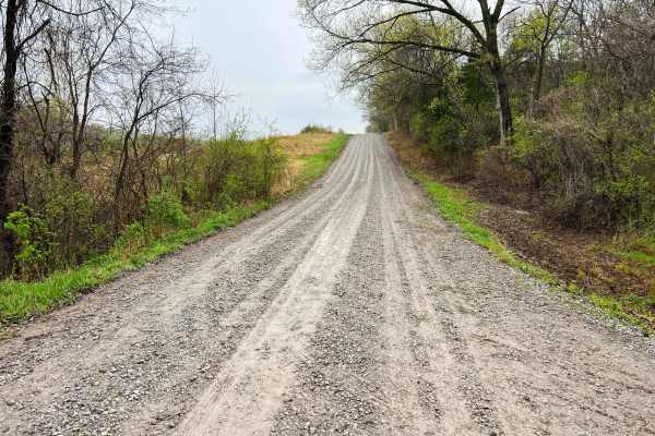
Monkey Mountain
Monkey Mountain follows along the edge of Honey Creek Conservation area before crossing the Nodaway River. Crossing into Holt County Holt 325 road climbs quickly along the Monkey Mountain Conservation area ending at MO U. This is an easy-going gravel road that can become soft and loose after heavy r...
Learn more about Monkey Mountain
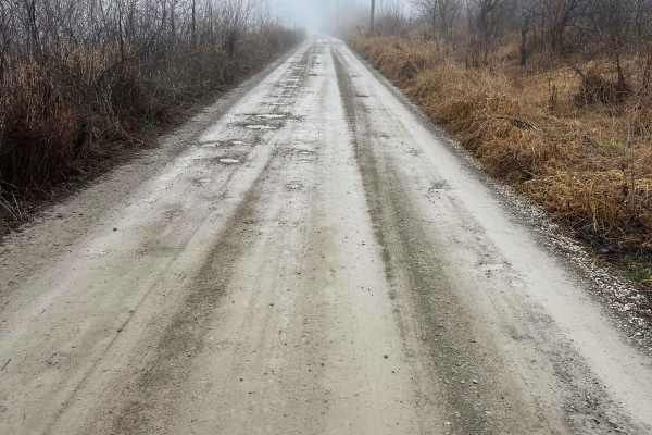
Nodaway River Drive
Nodaway River drive follows along the Nodaway River to the confluence of the Missouri River. It connects the Missouri conservation areas of Honey Creek and Monkey Mountain. It's an easy-going gravel road passing through mostly private property with occasional potholes to look out for. The road may r...
Learn more about Nodaway River Drive
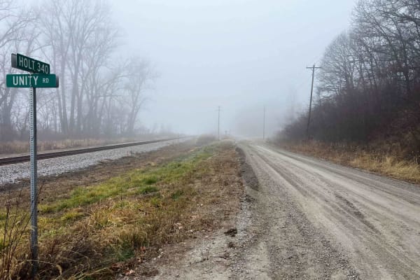
Parkstone Drive
Parkstone Drive weaves along the Missouri river bottoms following the Corps of Engineers levee system. It's a well-maintained gravel drive with private property on each side. This route ends and begins at Missouri Conservation areas Riverbreaks and Monkey Mountain. Many upland and migratory birds ca...
Learn more about Parkstone Drive
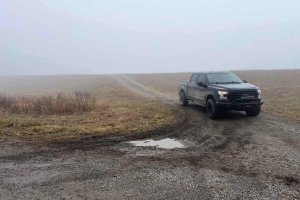
Country Road 392/396
This trail in Worthwine Island California is an easy gravel road that leads from MO K turning off to Road 392 to Missouri Conservation area Worthwine Island along the Missouri River. Worthwine Island provides good hunting and fishing opportunities along the Missouri River bottoms with mixed timber a...
Learn more about Country Road 392/396
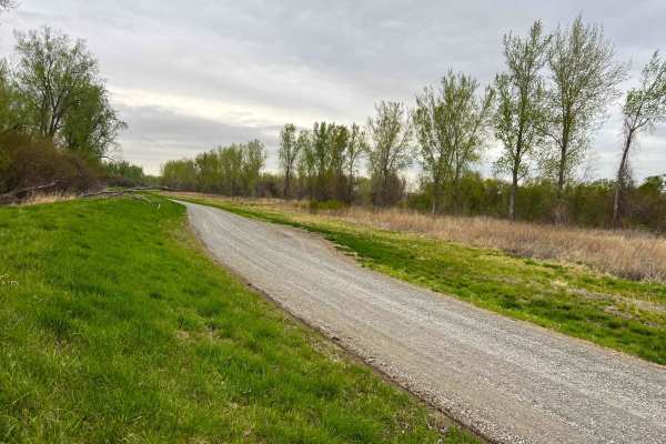
Bob Brown
Bob Brown Conservation area is located west of Forest City Missouri in the Missouri River bottoms and is a wide well maintained gravel road. This is a great area for migratory bird watching, hunting and catfishing along the Missouri River. There are many river access points geared for fishing with a...
Learn more about Bob Brown
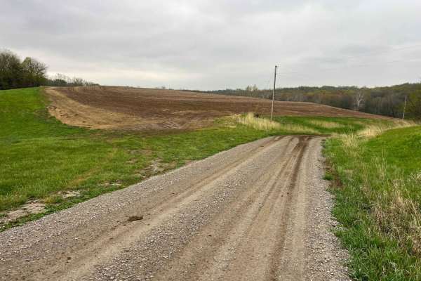
Riverbreaks
Riverbreaks is a gravel road that climbs from the Missouri River bottoms turning onto Quebec Road. It is well-maintained gravel but can become soft and muddy after heavy rains. 4WD is recommended when visiting this area during bad weather or snow in order to climb out of the bluffs. There are many d...
Learn more about Riverbreaks

Brown State Fishing Lake Road
Easy gravel road around Brown State Fishing Lake with small spurs around the lake to camp and fish. Camping and fishing are free. A couple of pit toilets around the lake and campfire rings at campsites. The lake is surrounded by cornfields. The grade is gentle and can be driven in a 2-wheel drive ve...
Learn more about Brown State Fishing Lake Road
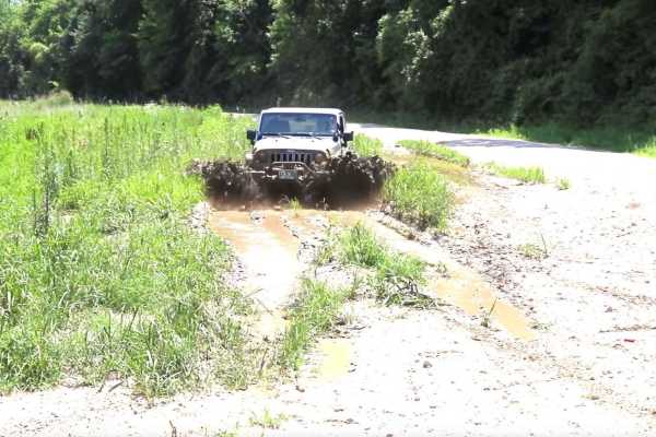
Kickapoo Trail
The Kickapoo Trail offers a relaxing and scenic off-road experience in northeast Kansas, perfect for riders looking to enjoy a leisurely ride through nature without too much difficulty. Located near Kickapoo in Brown County, this trail primarily follows a well-maintained gravel road, making it acces...
Learn more about Kickapoo Trail
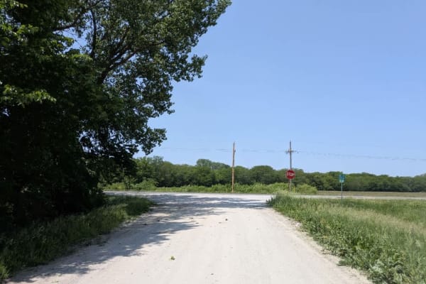
Access to Camp
This run of dusty, narrow gravel rolls out mostly smooth, though the surface ripples with a few corrugated stretches that keep speeds in check. It bends past a handful of houses and skirts the edge of a golf course before emptying into a welcoming lakeside campground. The campground is easy on the w...
Learn more about Access to Camp
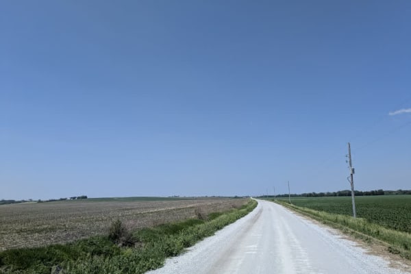
South 46th
This segment runs along a broad stretch of well-graded gravel that remains mostly smooth, though light corrugations remind you it serves regular traffic. Midway, it climbs a tall, sturdy bridge spanning a muddy creek where tire tracks show some drivers opt to splash through the water instead of taki...
Learn more about South 46th
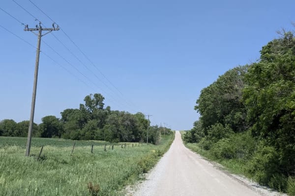
624 Road
The trail follows a narrow ribbon of dusty gravel that remains mostly smooth as it winds through open farmland and passes several farmhouses. Along the way, it crosses a paved road, providing access to two campsites and a nearby small town with amenities. However, there are no formal or dispersed ca...
Learn more about 624 Road
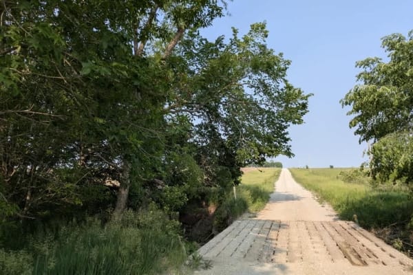
714 Road
The trail remains mostly smooth and well-maintained, although a few corrugated sections appear where it intersects other tracks and a paved road. It runs straight through open fields, passing picturesque farmhouses and rolling hills that include both ascents and descents. Drivers should proceed care...
Learn more about 714 Road
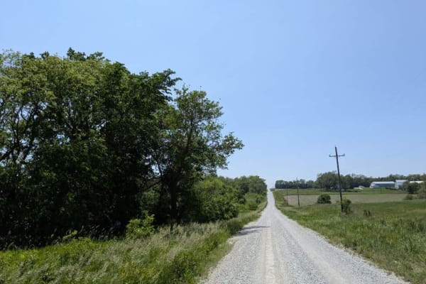
O Road
The route begins as a single-lane strip of gravel, tight enough that you feel the grass brush the mirrors, but it soon broadens into a well-graded road where only the odd patch of deep stone unsettles the tires. Partway along, the gravel skirts a small country church and its quiet hillside cemetery-...
Learn more about O Road
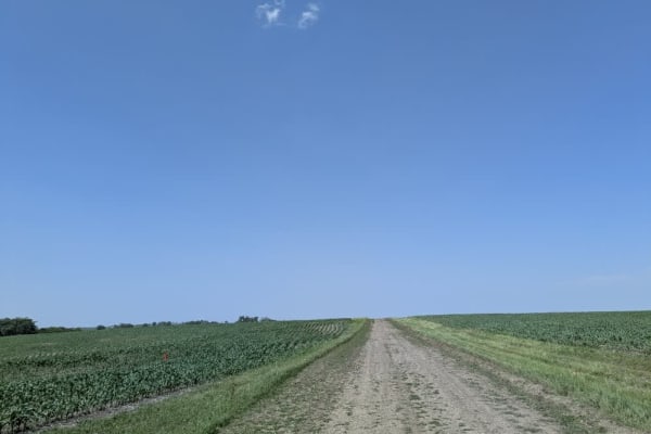
County Road S
The route begins as a single-lane track with little upkeep, and after rain, it turns slick enough to keep you on your toes. Early on, it skirts a barricaded bridge--one of several abandoned crossings in the area--before opening out alongside farm fields dotted with idle harvest machinery. From there...
Learn more about County Road S

Green 52
This trail travels along the southeast corner and loops around to the backside of the abandoned house. While it presents no major obstacles, sections of the trail have significant overgrowth from nearby vegetation. These areas, especially around the curves, can become tight for longer wheelbases or ...
Learn more about Green 52
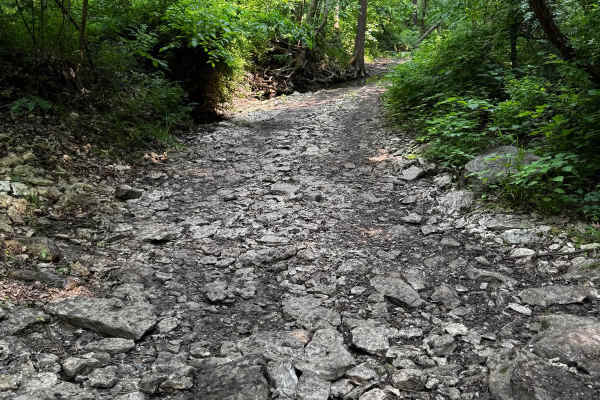
2 Finger 125
This trail runs through a creek bed, so the terrain is primarily rocky. There are several larger rocks to navigate, including one prominent rock about 2 feet tall that you can either drive over or carefully go around, if your vehicle is not too wide. Small fallen trees cross the trail as well. Be aw...
Learn more about 2 Finger 125
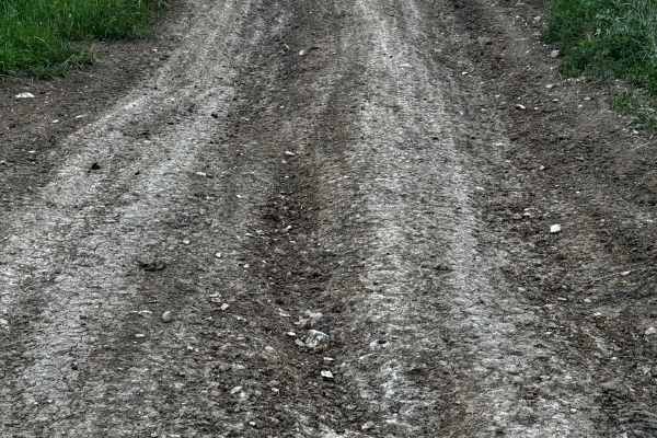
Green 49
This trail consists of a long hill climb on a mostly dirt base, which can become slick and muddy when wet, making traction more difficult. At the top of the hill, there's a dirt mound on the right side that can be driven up for a great photo opportunity. While there are no major obstacles, the combi...
Learn more about Green 49
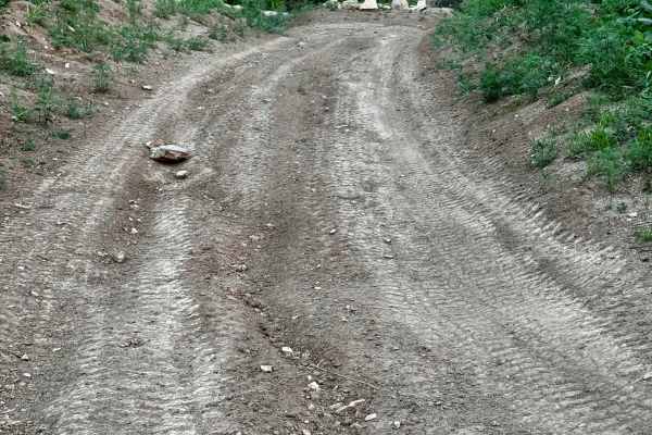
Green 50
This trail parallels Green 49 along a short, gradual uphill route with a dirt and rock surface. It's generally straightforward with no major obstacles to navigate. However, when wet, the terrain can become slick, requiring more attention to traction and vehicle control. This trail follows a short, g...
Learn more about Green 50

Green 51
This trail features several tight sections where pinstriping is likely due to close tree spacing. It leads to an interesting older abandoned house with lots of character, though its deteriorating condition may make it unsafe to enter. The area around the house offers a unique spot that would be perf...
Learn more about Green 51
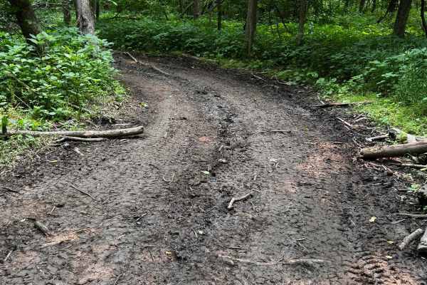
Green 55
This trail winds through a shaded section of the forest and is primarily a dirt base, which means muddy conditions are likely after rain. The route includes several hill sections, but none are overly steep or technical. It zigzags between trees, and some areas are tight, especially for full-size veh...
Learn more about Green 55
Beginner ATV trails near Barnard, Missouri
Explore ATV-friendly trails near you. These trails are accessible for vehicles up to 50 inches wide, perfect for ATVs and smaller off-road machines.
Brown State Fishing Lake Road
Easy gravel road around Brown State Fishing Lake with small spurs around the lake to camp and fish. Camping and fishing are free. A couple of pit toilets around the lake and campfire rings at campsites. The lake is surrounded by cornfields. The grade is gentle and can be driven in a 2-wheel drive ve...
Learn more about Brown State Fishing Lake Road
Kickapoo Trail
The Kickapoo Trail offers a relaxing and scenic off-road experience in northeast Kansas, perfect for riders looking to enjoy a leisurely ride through nature without too much difficulty. Located near Kickapoo in Brown County, this trail primarily follows a well-maintained gravel road, making it acces...
Learn more about Kickapoo Trail
Green 52
This trail travels along the southeast corner and loops around to the backside of the abandoned house. While it presents no major obstacles, sections of the trail have significant overgrowth from nearby vegetation. These areas, especially around the curves, can become tight for longer wheelbases or ...
Learn more about Green 52
2 Finger 125
This trail runs through a creek bed, so the terrain is primarily rocky. There are several larger rocks to navigate, including one prominent rock about 2 feet tall that you can either drive over or carefully go around, if your vehicle is not too wide. Small fallen trees cross the trail as well. Be aw...
Learn more about 2 Finger 125
Beginner UTV/side-by-side trails near Barnard, Missouri
Find UTV and side-by-side trails near you. These trails accommodate vehicles up to 60 inches wide, ideal for UTVs, side-by-sides, and wider off-road rigs.
Brown State Fishing Lake Road
Easy gravel road around Brown State Fishing Lake with small spurs around the lake to camp and fish. Camping and fishing are free. A couple of pit toilets around the lake and campfire rings at campsites. The lake is surrounded by cornfields. The grade is gentle and can be driven in a 2-wheel drive ve...
Learn more about Brown State Fishing Lake Road
Kickapoo Trail
The Kickapoo Trail offers a relaxing and scenic off-road experience in northeast Kansas, perfect for riders looking to enjoy a leisurely ride through nature without too much difficulty. Located near Kickapoo in Brown County, this trail primarily follows a well-maintained gravel road, making it acces...
Learn more about Kickapoo Trail
Green 52
This trail travels along the southeast corner and loops around to the backside of the abandoned house. While it presents no major obstacles, sections of the trail have significant overgrowth from nearby vegetation. These areas, especially around the curves, can become tight for longer wheelbases or ...
Learn more about Green 52
2 Finger 125
This trail runs through a creek bed, so the terrain is primarily rocky. There are several larger rocks to navigate, including one prominent rock about 2 feet tall that you can either drive over or carefully go around, if your vehicle is not too wide. Small fallen trees cross the trail as well. Be aw...
Learn more about 2 Finger 125
The onX Offroad Difference
onX Offroad combines trail photos, descriptions, difficulty ratings, width restrictions, seasonality, and more in a user-friendly interface. Available on all devices, with offline access and full compatibility with CarPlay and Android Auto. Discover what you're missing today!
Open Trail Map