
Beginner Off-Road Trails
Near Atlantic Beach, North Carolina
Explore All Beginner Trails Near Atlantic Beach, North Carolina
Beginner Off-Road Trails Near Atlantic Beach, North Carolina
Discover the best beginner-friendly off-road trails near you. These easier, lower-rated trails are a great place to start — browse trail maps, check difficulty ratings, and find your next adventure.
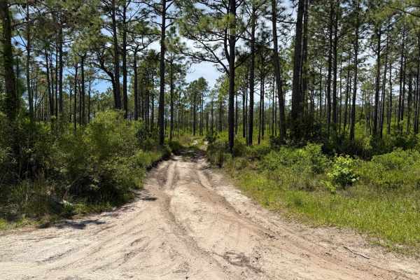
Pringle Road Spur 3
Pringle Road Spur 3 is one of the longer trails in the area, offering a mix of terrain with potential mud pits, whoops, twists and turns, and several campsites. The mud pits are generally dry or packed down, but after rain, they can become more challenging and may pose difficulties for some vehicles...
Learn more about Pringle Road Spur 3
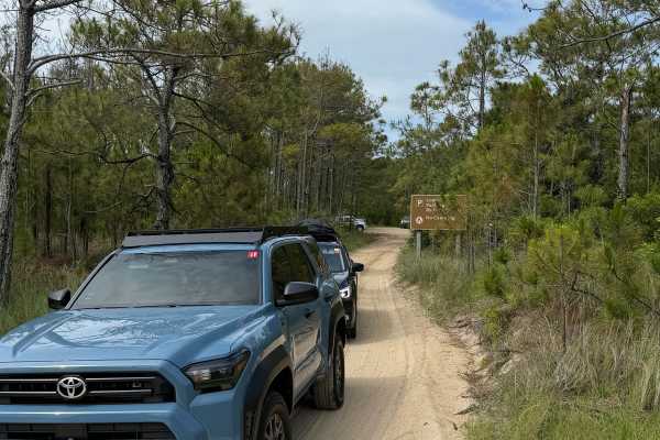
Lighthouse Access Ramp
This access leads to Cape Lookout Lighthouse and Soundside access, with parking that can be limited during the spring and Summer months. The ramp is to be driven with caution, as some corners do not provide enough visual clearance. Abide by the speed limit and pull off to the sides if possible, for ...
Learn more about Lighthouse Access Ramp
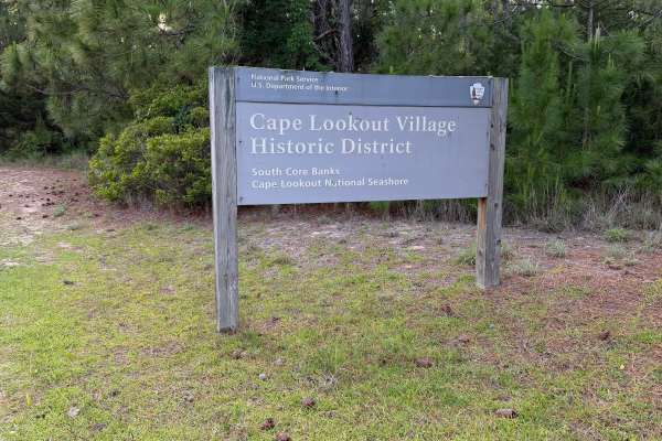
East Road
East road is accessible from the back road of Cape Lookout which connects to Cape Lookout road. It’s has an emergency storm shelter area that is located on this trail, that can be used during hurricane season. Packed down sand makes traveling this area easier but respect closed off areas.
Learn more about East Road
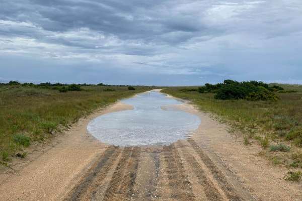
South Core Banks - Back Road
South Core Banks is only accessible by vehicle ferry. A reservation is required through Cape Lookout Cabins and Camps or the Davis Shore Ferry Service. A beach driving permit (ORV) is required and can be obtained through Rec.gov. The National Park Service recommends a low-pressure tire gauge, shovel...
Learn more about South Core Banks - Back Road
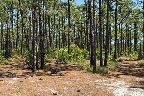
Pringle Road Spur 2
This trail offers a fun and flexible driving experience, leading to a cleared area where drivers can explore freely. While the tree line subtly suggests a main path, alternate routes with twists, turns, whoops, and small obstacles are available throughout. The trail is generally easy, with the most ...
Learn more about Pringle Road Spur 2
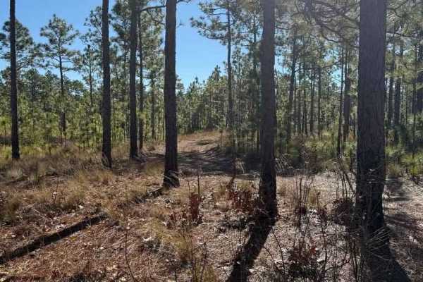
Pettiford Creek Trail 7
Branch 7 is a continuation of Pettiford Creek Trail 6 and the Pettiford Creek Eastern Entrance. It's slightly tighter and muddier than Trail 6, offering a bit more of a challenge. A mud hole mid-trail can vary from a few inches deep to around 10 inches, depending on rainfall. At the end, a short but...
Learn more about Pettiford Creek Trail 7
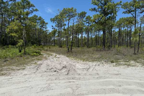
Pringle Road - FS 123
Pringle Road is a forest service road that provides access to numerous trails and areas within Croatan National Forest. The road itself is well-maintained, with only a few scattered potholes and ruts. Alongside the road are several deep, optional mud pits--some of which can reach a couple of feet in...
Learn more about Pringle Road - FS 123

Bogue road spur 2
This narrow double-track trail winds through Croatan National Forest and shares similarities with trails in Pettiford Creek State Forest, featuring loose sandy terrain, mud, and potential shallow water crossings. The trail begins with very loose sand, providing an exciting driving experience, before...
Learn more about Bogue road spur 2
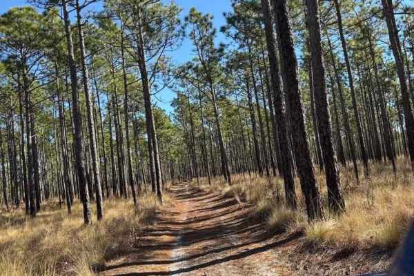
Pettiford Creek Trail 8
Pettiford Creek Trail 8 acts as a link between the Pettiford Creek Main Trail and Trail 6. This trail is mostly composed of packed sand and follows a double-track layout, offering scenic views of the surrounding forest. The drive is generally easy, with only a few minor ruts and roots--none exceedin...
Learn more about Pettiford Creek Trail 8
Bogue Road
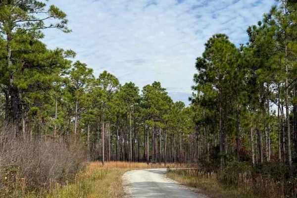
Bogue Road is another hard-pack road leading to more Croatan National Forest areas. Along the road is a vast hunting land area and numerous side trails. The end of the road turns into a tight-looking double-track trail that may not be accessible or a legal road or trail. The road is accessible by mo...
Learn more about Bogue Road
Pettiford Creek Trail 14
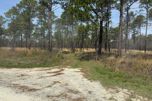
Pettiford Creek Trail 14 is a short connector trail that links Bogue Road to Pettiford Creek Trail 13. While generally mild, it can feature a few shallow mud pits--typically no deeper than a few inches--that may cause issues for less capable vehicles, especially after rainfall. Additional challenges...
Learn more about Pettiford Creek Trail 14

Pettiford Creek Branch 5
Branch 5 serves as a connection between Pettiford Creek Main Branch and Pettiford Creek Branch 4. This short trail consists primarily of packed sand and pine needles, with occasional patches of loose sand and potential mud. Some sections may be less defined due to brush growth, so careful navigation...
Learn more about Pettiford Creek Branch 5
Pettiford Creek Trail 6
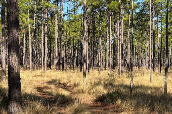
This offshoot from the Pettiford Creek Main Trail connects to the Pettiford Creek Eastern Entrance. The trail consists primarily of sandy double-track, with a few scattered mud pits that add some challenge but are smaller than most in Pettiford Creek State Forest, making this route relatively easy. ...
Learn more about Pettiford Creek Trail 6
Pettiford Creek Branch 4
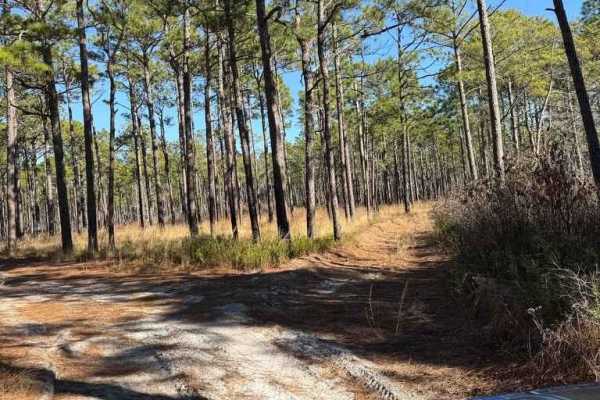
This offshoot from the main trail within Pettiford Creek State Forest provides access to state forest lands and Croatan National Forest lands. The trail is shorter, grassy, and features a few mud crossings, with rather narrow, encroaching branches. The trail's end comes rather suddenly, has very ste...
Learn more about Pettiford Creek Branch 4
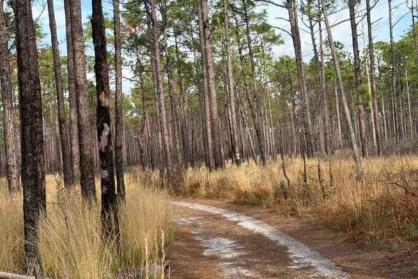
Pettiford Creek Trail 3
Pettiford Creek Trail 3 is an offshoot of Bogue Road Spur that connects to the Pettiford Creek Main Trail. While Trail 3 and the Main Trail run parallel, they only link up at the beginning and end, making Trail 3 a scenic and slightly more engaging alternative. It features a few fun whoops, a small ...
Learn more about Pettiford Creek Trail 3
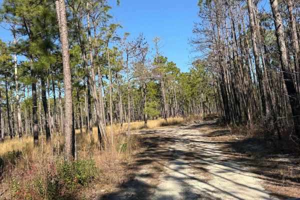
Pettiford Creek Main Trail
This is the main trail through Pettiford Creek State Forest, allowing access from one side of the state forest to the other. This is the easiest trail within Pettiford Creek and mostly consists of sandy double-track with small whoops and potential for small puddles or mud pits. The majority of the t...
Learn more about Pettiford Creek Main Trail
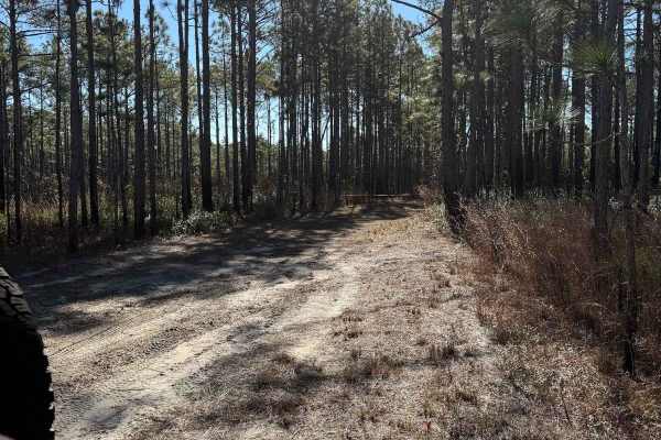
Pettiford Creek Trail 2
This is one of the first branches off the main trail through Pettiford Creek State Forest. The trail begins with a wide, sandy double track, which turns into a narrow, muddy trail. The trail ends in a secluded wetlands area that frequently has mud pits and large ruts. This trail features a few poten...
Learn more about Pettiford Creek Trail 2

Pettiford Creek Trail 9
Pettiford Creek Trail 9 is a longer route that initially runs along the edge of private property before entering the state forest and linking Pettiford Creek West Entrance to Pettiford Creek Main Trail. While the official connection point is gated off, an unofficial path has been worn beside the gat...
Learn more about Pettiford Creek Trail 9
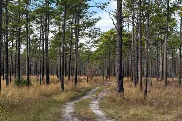
Bogue Road Spur
This narrow double-track trail provides access to the Pettiford Creek State Forest, an area surrounded by Croatan National Forest. This state forest offers miles of trails ranging from sandy double tracks to deeper mud and water crossings. This trail in particular is one of the entrances to the fore...
Learn more about Bogue Road Spur
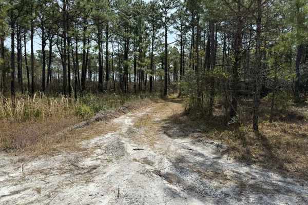
Pettiford Creek Trail 13
Pettiford Creek Trail 13 is a longer route that winds through Pettiford Creek State Forest and Croatan National Forest, running parallel to the boundary of nearby private property. The trail primarily consists of packed sand, with a few light mud sections that may reach a few inches deep--mild compa...
Learn more about Pettiford Creek Trail 13
Beginner ATV trails near Atlantic Beach, North Carolina
Explore ATV-friendly trails near you. These trails are accessible for vehicles up to 50 inches wide, perfect for ATVs and smaller off-road machines.
Lighthouse Access Ramp
This access leads to Cape Lookout Lighthouse and Soundside access, with parking that can be limited during the spring and Summer months. The ramp is to be driven with caution, as some corners do not provide enough visual clearance. Abide by the speed limit and pull off to the sides if possible, for ...
Learn more about Lighthouse Access Ramp
East Road
East road is accessible from the back road of Cape Lookout which connects to Cape Lookout road. It’s has an emergency storm shelter area that is located on this trail, that can be used during hurricane season. Packed down sand makes traveling this area easier but respect closed off areas.
Learn more about East Road
South Core Banks - Back Road
South Core Banks is only accessible by vehicle ferry. A reservation is required through Cape Lookout Cabins and Camps or the Davis Shore Ferry Service. A beach driving permit (ORV) is required and can be obtained through Rec.gov. The National Park Service recommends a low-pressure tire gauge, shovel...
Learn more about South Core Banks - Back Road
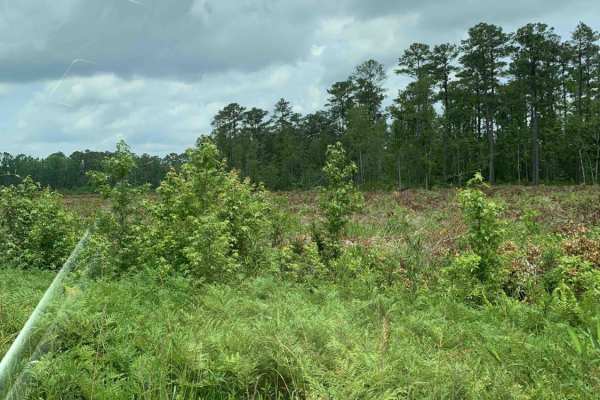
Holston Hunter Trail
This easy off-road trail is located on the western side of the Croatan National Forest. Obstacles include a few potholes, and the trail is mostly gravel. There is one small muddy area that might be trouble for low-clearance vehicles after heavy rains. There is also a water crossing, but it has a con...
Learn more about Holston Hunter Trail
Beginner UTV/side-by-side trails near Atlantic Beach, North Carolina
Find UTV and side-by-side trails near you. These trails accommodate vehicles up to 60 inches wide, ideal for UTVs, side-by-sides, and wider off-road rigs.
Lighthouse Access Ramp
This access leads to Cape Lookout Lighthouse and Soundside access, with parking that can be limited during the spring and Summer months. The ramp is to be driven with caution, as some corners do not provide enough visual clearance. Abide by the speed limit and pull off to the sides if possible, for ...
Learn more about Lighthouse Access Ramp
East Road
East road is accessible from the back road of Cape Lookout which connects to Cape Lookout road. It’s has an emergency storm shelter area that is located on this trail, that can be used during hurricane season. Packed down sand makes traveling this area easier but respect closed off areas.
Learn more about East Road
Holston Hunter Trail
This easy off-road trail is located on the western side of the Croatan National Forest. Obstacles include a few potholes, and the trail is mostly gravel. There is one small muddy area that might be trouble for low-clearance vehicles after heavy rains. There is also a water crossing, but it has a con...
Learn more about Holston Hunter Trail
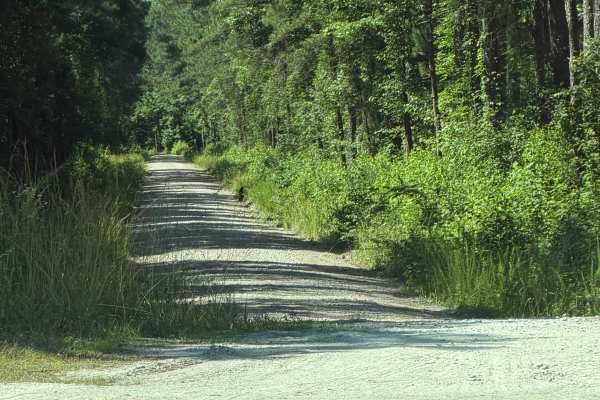
Pine Grove - FS 156
Coming up onto Pine Grove Road (FS 156), located off of Catfish Lake Road, you will be met with a gravel road that stretches 3.1 miles in the eastern section of the Croatan National Forest. It is smaller in width than most of the trails in the Croatan area, but you will still have room to pull to th...
Learn more about Pine Grove - FS 156
The onX Offroad Difference
onX Offroad combines trail photos, descriptions, difficulty ratings, width restrictions, seasonality, and more in a user-friendly interface. Available on all devices, with offline access and full compatibility with CarPlay and Android Auto. Discover what you're missing today!
Open Trail Map