
Beginner Off-Road Trails
Near Arriba, Colorado
Explore All Beginner Trails Near Arriba, Colorado
Beginner Off-Road Trails Near Arriba, Colorado
Discover the best beginner-friendly off-road trails near you. These easier, lower-rated trails are a great place to start — browse trail maps, check difficulty ratings, and find your next adventure.
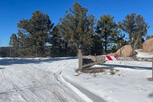
Herman Spur 1 North Road - 320.A
This is a spur road for camping, views, and wandering. Bring a lunch and stop here on your way to explore more of the Rampart Range. There are several large campsites that can accommodate multiple vehicles. Head up the Main Mount Herman road toward the 300 Rampart Range. There are also a few spots t...
Learn more about Herman Spur 1 North Road - 320.A

Lower Gold Camp Road
Dirt roads with some rocks scattered throughout. Good road that is easily accessible from Colorado Springs that virtually any car can handle. Multiple tunnels going through the mountains. Majority is two lane with multiple spots where it narrows to one vehicle lanes. First 3.3 miles of the trail are...
Learn more about Lower Gold Camp Road
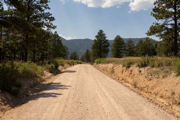
Mount Herman & Rampart Range Roads
The Mount Herman and Rampart Range Roads route offers a mix of terrain, starting with a rougher ascent on the Herman side before easing into smooth, easy travel once reaching the top. The trail is generally free of obstacles, but washboard sections may challenge drivers to maintain steady control. V...
Learn more about Mount Herman & Rampart Range Roads
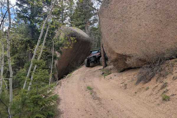
Hell Creek Road
Hell Creek Road (FS 311) branches off from Schubarth Road and forms a portion of the Schubarth "Loop." On what is primarily an easy dirt road, you'll pass by and between giant boulders and rock formations. If running the Schubarth Loop in a clockwise direction, to run the more interesting portion of...
Learn more about Hell Creek Road
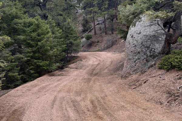
Powerline East Road 318
This great little trail offers much to explore. This trail branches off of Mt Herman Road and follows along the top of a ridge heading east. The majority of the trail is surrounded by a dense population of pine trees, however, this opens up in a couple of areas and reveals the beautiful surrounding ...
Learn more about Powerline East Road 318

Roll Over Road
### Trail Details
- **Difficulty**: Moderate to Difficult
- **Time to Complete**: 1–2 hours (one way)
- **Best Time to Visit**: Summer through Fall
- **Recommended Vehicles**: High-clearance 4x4 with low-range gearing;lockers recommended for tougher sections
- **Trail Start Location**: Ju...
Learn more about Roll Over Road
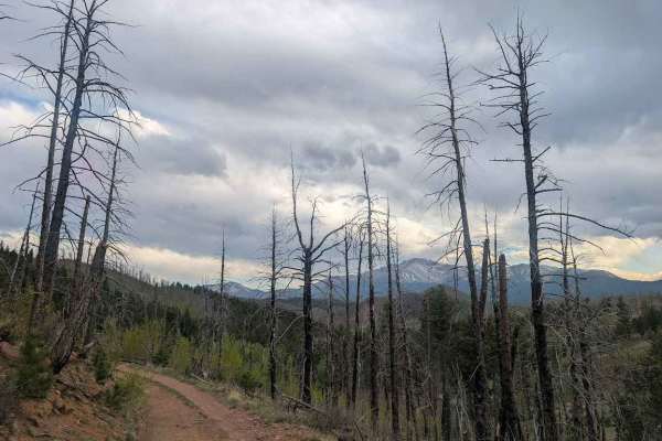
Ormes Peak Road
### Trail Details
- **Difficulty**: Moderate
- **Time to Complete**: 1–1.5 hours (one way)
- **Best Time to Visit**: Summer through Fall
- **Recommended Vehicles**: High-clearance 4x4 with low-range gearing
- **Trail Start Location**: Junction of Northfield Road and Ormes Peak Road, near ...
Learn more about Ormes Peak Road
Northfield Road
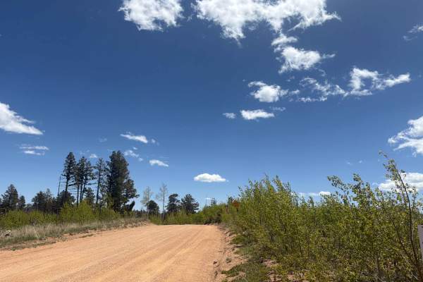
Easy-to-moderate, out-and-back dirt road located off the Mount Herman and Rampart Range Roads within the Pike National Forest northwest of Colorado Springs, Colorado. The trail consists of dirt, pea gravel, and rocky sections. There are some unique rock features and spectacular views of Pikes Peak. ...
Learn more about Northfield Road
Farrish Memorial Rd 312
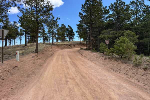
Farrish Memorial Road 312 is an easy forest service spur that winds through rolling pine forest and scattered aspens on a well-maintained red dirt surface. The route is beginner-friendly and suitable for most stock SUVs and crossovers during dry conditions, making it a great option for casual explor...
Learn more about Farrish Memorial Rd 312
Plum Creek Road
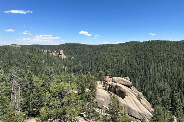
Plum Creek is one of the many spurs off Rampart Range Road. The easy trail is a great place to camp with no reservations or fees. The nature of the trail is fairly close, so beware of pinstripes if you're so inclined. The end of this trail is the best part - a massive round boulder allows for panora...
Learn more about Plum Creek Road
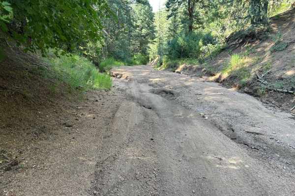
West Jackson Creek Road to Hidden Valley Road
Hidden Valley Road offers a range of conditions depending on the severity of erosion. It can vary from a rugged trail with numerous washouts to a smooth, mellow dirt road. In the summer after a dry spring, the trail was notably smooth and well-maintained. The trail is mostly through private land and...
Learn more about West Jackson Creek Road to Hidden Valley Road
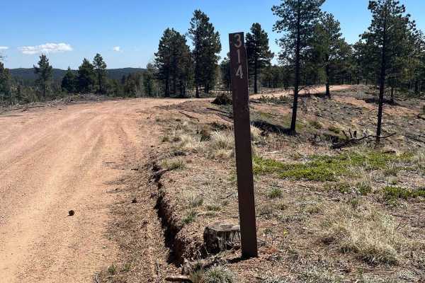
Ensign Gulch Road FR 314
This fun little cutoff route requires nothing more than a 4WD car to explore. As a scenic cutoff connecting Farrish Memorial Road and Beaver Creek Road, this trail allows for you to bypass the west half of Beaver Creek Road. This makes for an easy trail when exploring the Mount Herman/Rampart Range ...
Learn more about Ensign Gulch Road FR 314
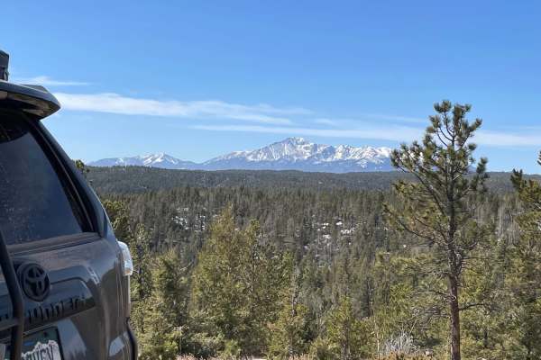
Winding Stairs-Ice Cave Loop
This loop consists of Forest Service roads 323 and 324 which meet on the east side of the loop; the loop is continuous, and the numbers can be confusing. The trail surface is decomposed granite, which can erode easily and cause deep erosion cuts. Where the trail crosses the north-facing slopes, it c...
Learn more about Winding Stairs-Ice Cave Loop
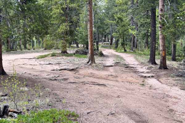
FS 929
FS 929 is an easy out-and-back forest trail with smooth dirt terrain, light roots, and minor ruts throughout the route. The trail winds through dense pine and aspen trees with a few tight sections, but overall remains very manageable for most high-clearance 4x4s. There is currently a downed tree acr...
Learn more about FS 929
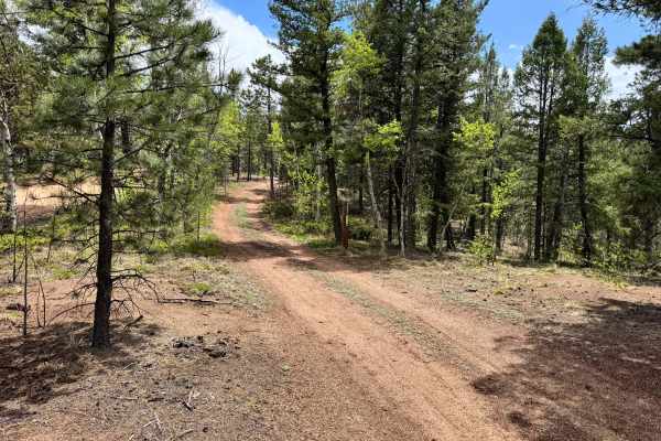
Upper Johnson Gulch Rd (FS300)
Upper Johnson Gulch Rd (FS300) is rated easy because most of the trail is made up of manageable dirt two-track with mild hill climbs, rolling humps, and only light rutting. A high-clearance 4x4 is still recommended because the trail gets narrow in spots, has a few uneven washouts, and includes tight...
Learn more about Upper Johnson Gulch Rd (FS300)
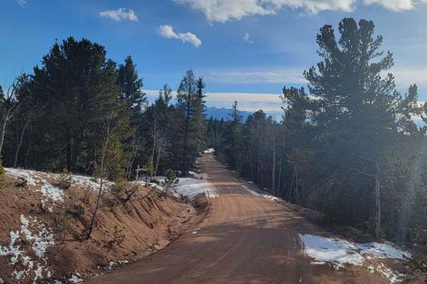
Rampart Range - FR 300
This route is from between FR 346 (Hotel Gulch) and FR 320 (Mt Herman Road). It can be entered from multiple connecting trails on the western side. Either from pavement via Woodland Park, from Garden of the Gods, or from Mt. Herman Road. Rampart Range Road is an easy dirt road that connects many oth...
Learn more about Rampart Range - FR 300
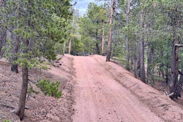
Saylor Park Rd FS 325
Saylor Park Rd is a fairly easy trail best suited for high-clearance vehicles due to occasional uneven terrain and small ruts along the route. The trail offers excellent dispersed camping throughout the area and finishes with a fun hill climb that adds a little extra challenge without becoming too t...
Learn more about Saylor Park Rd FS 325
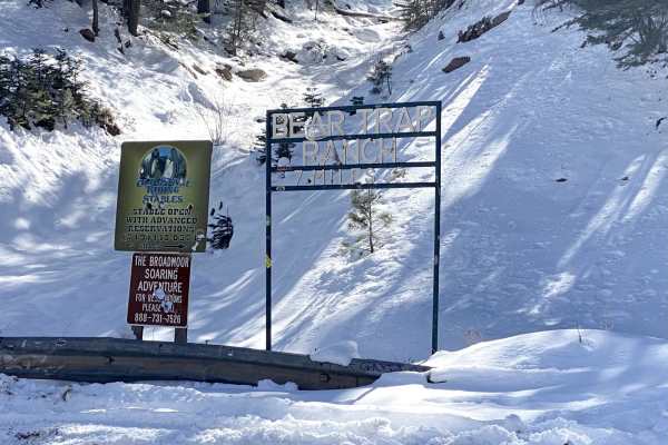
Old Stage Rd
Easy trail with beautiful views. 4WD is recommended, especially after snowfall. This trail leads to Gold Camp Road. Take switchbacks cautiously, as they can become narrow, and on-coming traffic can be hard to see. The last mile or so is the most rutted, with some larger rocks to get over.
Learn more about Old Stage Rd
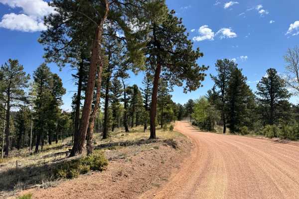
Farish Rd 309
Farish Road 309 is an easy-going forest service road that winds through dense pine forest and open mountain meadows on a well-maintained red dirt surface. This route is suitable for nearly any vehicle in dry conditions, making it a great scenic drive for beginners, families, or anyone looking for a ...
Learn more about Farish Rd 309
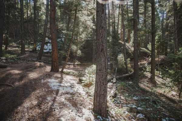
788 ATV Trail
This ATV trail runs east to west through the Rampart Range Recreation Area and is designated for ATVs 50 inches or less. The east end starts at a small dirt trailhead off of Jackson Creek Road, then it crosses Tomahawk about 1.2 miles in from the east trailhead. It's a shelfy wide trail with lots of...
Learn more about 788 ATV Trail
Beginner ATV trails near Arriba, Colorado
Explore ATV-friendly trails near you. These trails are accessible for vehicles up to 50 inches wide, perfect for ATVs and smaller off-road machines.
Hell Creek Road
Hell Creek Road (FS 311) branches off from Schubarth Road and forms a portion of the Schubarth "Loop." On what is primarily an easy dirt road, you'll pass by and between giant boulders and rock formations. If running the Schubarth Loop in a clockwise direction, to run the more interesting portion of...
Learn more about Hell Creek Road
Powerline East Road 318
This great little trail offers much to explore. This trail branches off of Mt Herman Road and follows along the top of a ridge heading east. The majority of the trail is surrounded by a dense population of pine trees, however, this opens up in a couple of areas and reveals the beautiful surrounding ...
Learn more about Powerline East Road 318
Roll Over Road
### Trail Details
- **Difficulty**: Moderate to Difficult
- **Time to Complete**: 1–2 hours (one way)
- **Best Time to Visit**: Summer through Fall
- **Recommended Vehicles**: High-clearance 4x4 with low-range gearing;lockers recommended for tougher sections
- **Trail Start Location**: Ju...
Learn more about Roll Over Road
Ormes Peak Road
### Trail Details
- **Difficulty**: Moderate
- **Time to Complete**: 1–1.5 hours (one way)
- **Best Time to Visit**: Summer through Fall
- **Recommended Vehicles**: High-clearance 4x4 with low-range gearing
- **Trail Start Location**: Junction of Northfield Road and Ormes Peak Road, near ...
Learn more about Ormes Peak Road
Beginner UTV/side-by-side trails near Arriba, Colorado
Find UTV and side-by-side trails near you. These trails accommodate vehicles up to 60 inches wide, ideal for UTVs, side-by-sides, and wider off-road rigs.
Hell Creek Road
Hell Creek Road (FS 311) branches off from Schubarth Road and forms a portion of the Schubarth "Loop." On what is primarily an easy dirt road, you'll pass by and between giant boulders and rock formations. If running the Schubarth Loop in a clockwise direction, to run the more interesting portion of...
Learn more about Hell Creek Road
Powerline East Road 318
This great little trail offers much to explore. This trail branches off of Mt Herman Road and follows along the top of a ridge heading east. The majority of the trail is surrounded by a dense population of pine trees, however, this opens up in a couple of areas and reveals the beautiful surrounding ...
Learn more about Powerline East Road 318
Roll Over Road
### Trail Details
- **Difficulty**: Moderate to Difficult
- **Time to Complete**: 1–2 hours (one way)
- **Best Time to Visit**: Summer through Fall
- **Recommended Vehicles**: High-clearance 4x4 with low-range gearing;lockers recommended for tougher sections
- **Trail Start Location**: Ju...
Learn more about Roll Over Road
Ormes Peak Road
### Trail Details
- **Difficulty**: Moderate
- **Time to Complete**: 1–1.5 hours (one way)
- **Best Time to Visit**: Summer through Fall
- **Recommended Vehicles**: High-clearance 4x4 with low-range gearing
- **Trail Start Location**: Junction of Northfield Road and Ormes Peak Road, near ...
Learn more about Ormes Peak Road
The onX Offroad Difference
onX Offroad combines trail photos, descriptions, difficulty ratings, width restrictions, seasonality, and more in a user-friendly interface. Available on all devices, with offline access and full compatibility with CarPlay and Android Auto. Discover what you're missing today!
Open Trail Map