
Beginner Off-Road Trails
Near Arrey, New Mexico
Explore All Beginner Trails Near Arrey, New Mexico
Beginner Off-Road Trails Near Arrey, New Mexico
Discover the best beginner-friendly off-road trails near you. These easier, lower-rated trails are a great place to start — browse trail maps, check difficulty ratings, and find your next adventure.
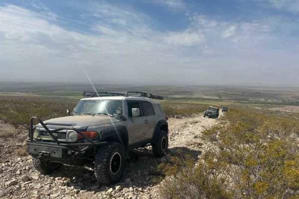
Rio Grande Trail
This trail picks up right off of the Paloma Gap trail and veers off and follows the river. The overall trail is very scenic but exercise caution. When rain is present the levels of the washouts and the river rise rapidly so make sure to check the weather prior to taking the trail. The trail overall ...
Learn more about Rio Grande Trail
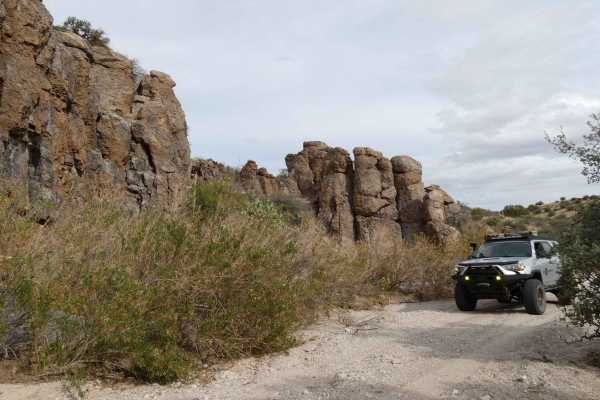
Penasco Springs
Penasco Springs is a wonderful desert experience that takes you down into the canyons at the base of the mountains and through some fun terrain that most 4x4 vehicles will handle. Starting out, the road is overall well maintained and gradually becomes more rocky before cutting through a dry river be...
Learn more about Penasco Springs
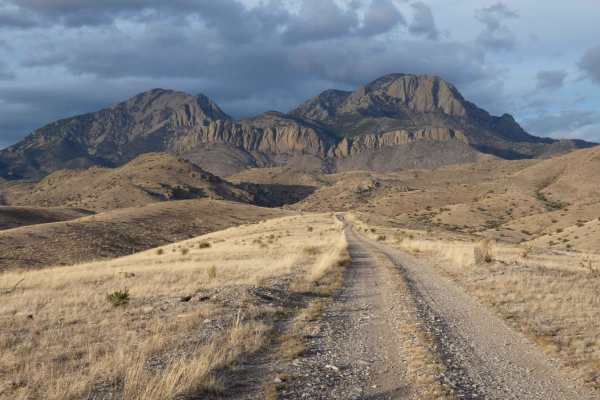
Burma Road-Garcia Falls
Burma Road-Garcia Falls begins on a decently maintained dirt and rock road that is wide enough for two vehicles for the first several miles and will be easily traveled with most high-clearance AWD and 4x4 vehicles. There are a few low-lying washes throughout the trail that will have the potential to...
Learn more about Burma Road-Garcia Falls
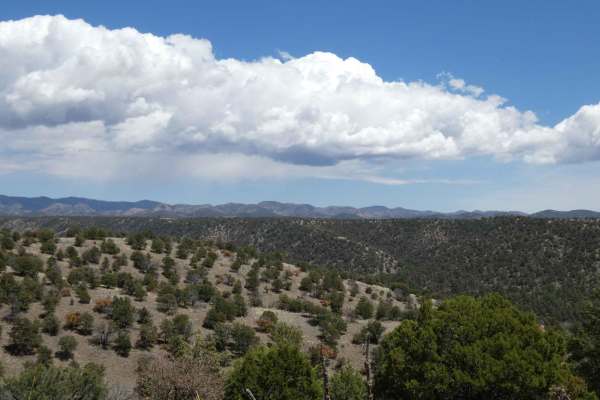
Powderhorn Ridge
Powderhorn Ridge begins in a short section of private land tracks before meeting the Gila National Forest boundary that is designated via a large sign and a water crossing that cuts through the Mimbres River. The trail shows recent signs of being maintained as of 04/2024 and is primarily a dirt surf...
Learn more about Powderhorn Ridge
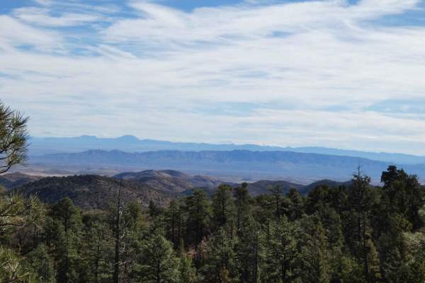
Springtime
Springtime is one of the longer forest trails in the area and provides diverse exploration, areas for dispersed camping, designated campsites, and hiking trails. Springtime connects from Highway 1 at the east and runs through the base of Vicks Peak southward where it connects with FSR-139/Red Rock. ...
Learn more about Springtime
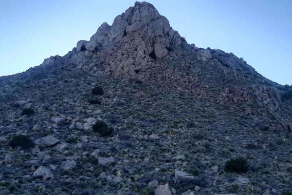
Nalgas Rock Overlook via Powerline Road
This short ride in the Dona Ana Mountains starts from the end of the desert wind way past the Dona Ana Trailhead. The road was in generally good condition with a few rock ledges and washouts where it crosses arroyos. Nalgas Rock is a rather large boulder near the end of the trail at the overlook/end...
Learn more about Nalgas Rock Overlook via Powerline Road
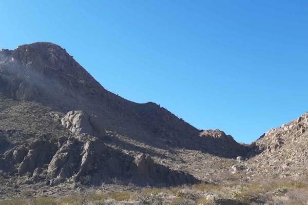
Lookout Point
This is a fairly easy run through the eastern middle Dona Anas to a nice overlook. The Starting point for this run is east of the South mountain bike parking lot and leads to the overlook near the eastern powerline road. This area is a mixed-use section of the Organ Mtns Park and crosses several mou...
Learn more about Lookout Point
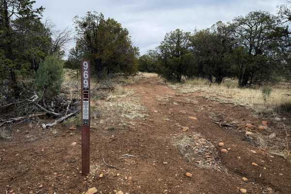
969
Just under half a mile long, this is a short and lightly trafficked spur to explore while riding the longer ATV Trail #968. It departs from #968 at the trail sign, and gradually descends towards its eastern point. The trail is more overgrown with grass, which obscures some of the loose rocks underne...
Learn more about 969
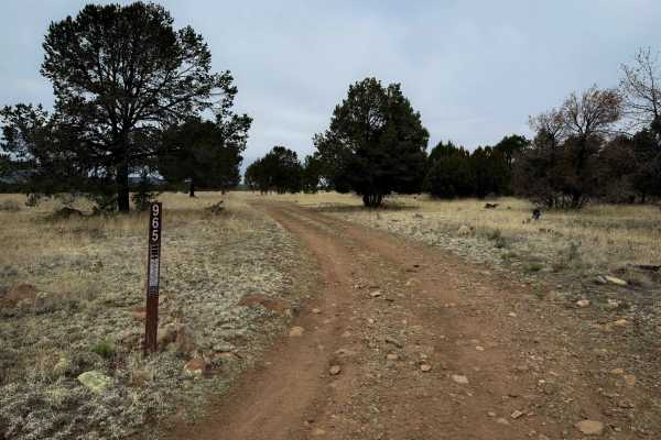
965
This is a two-mile-long ATV trail accessed off of FS Road 4079R. It makes a quick and easy loop with #966. The trail is mostly flat, with very little elevation gain. It weaves on top of a flat mesa top, between pinyon trees, on a wide trail along a fence line. It parallels #966 on the other side of ...
Learn more about 965
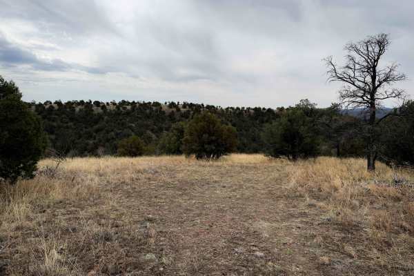
971
Just over half a mile long, ATV Trail #971 is a short spur off of ATV Trail #968 that rides across a flat hilltop and through grassy fields of juniper trees. It is a very minor and gradual descent from Trail 968, but mostly flat. The trail is smooth dirt lined with tall grass, with very minimal rock...
Learn more about 971
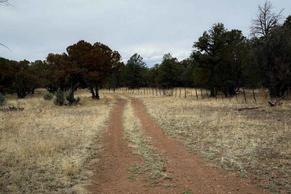
970
ATV Trail #970 is a short spur off of Trail #968. It is 0.8 miles long, and the route is mostly gradual and on smooth dirt, curving between juniper trees on a flat hilltop through grassy fields. The trail is unmarked where it starts on #968, but follows a fence line, and is well-tracked, so it will ...
Learn more about 970
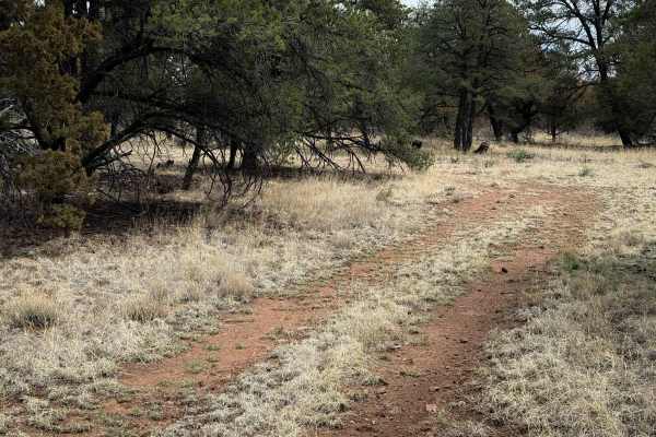
966
This is a 1.7-mile-long ATV trail through the Gila National Forest that makes a short loop with trail #965. The trail is mostly flat, with very little elevation gain, and is very similar to trail #965. It weaves between juniper trees on a flat mesa top. The trail is wide and silty, following along a...
Learn more about 966
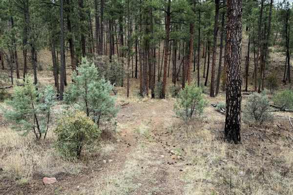
975
Just under a mile long, this short and easy ATV trail descends off of North Star Road on a semi-rocky path, overgrown with grass. It’s mostly a gradual two-track, with a few steeper spots that are covered in softball-sized rocks that make it more interesting. It rides through grassy fields of junipe...
Learn more about 975
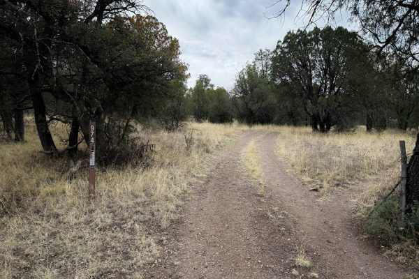
974
ATV Trail #974 is short and easy, only 0.6 miles long. This is a good starting point to access the few trails in this part of the Gila National Forest. You can park at the horse pasture and easily access this trail after a cattle gate. The route is mostly gradual, with minimal rock and a few shallow...
Learn more about 974
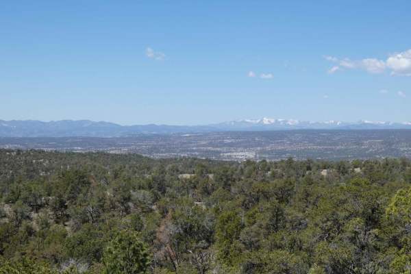
North Star - Sapillo to Chloride Canyon
North Star - Sapillo to Chloride Canyon has a long history in New Mexico dating back to the 1800s. The road itself is overall well-maintained except for some washboarding along the route. While there are no major obstacles along the route, there are several steeper grades and sections in the lower c...
Learn more about North Star - Sapillo to Chloride Canyon
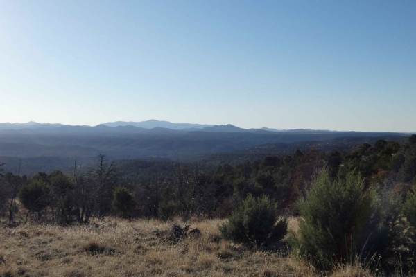
Elk Pasture
Elk Pasture is a loop trail that connects to SR35 in the Sapillo Creek region and provides great views of the surrounding area and mountains in the distance. The road is primarily single-vehicle-wide, with a few areas providing enough room to pass, and is a combination of dirt and rocks. While there...
Learn more about Elk Pasture
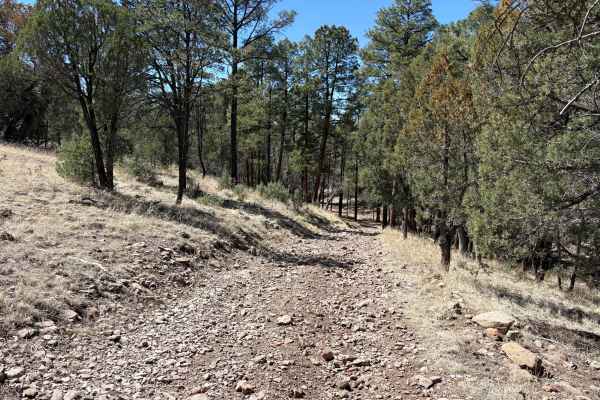
Lincoln Canyon Road - FS 4079T
Lincoln Canyon Road (FS 4079T) travels through a scenic wooded canyon between New Mexico Route 15 and North Star Road. The road starts in a Forest Service administrative horse pasture. The ascent through the canyon is gradual, and the surface changes from hard-packed dirt to looser cobbles and bould...
Learn more about Lincoln Canyon Road - FS 4079T
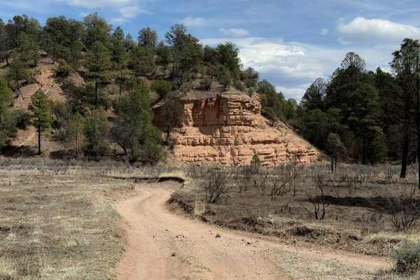
964
ATV trail #964 is the longest trail within the Sapillo Campground trail system, being almost 2 miles long. It is a wide path through ponderosa pine trees and big open grassy fields. The north end starts as a smooth dirt trail, ten feet wide, with easy curves along a fence line. An offline map is hel...
Learn more about 964
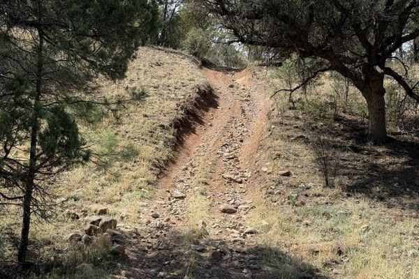
961
The south end of ATV Trail #961 starts along a fence line right next to the Sapillo Campground. It is an easy and wide dirt trail with some loose and embedded rock and shallow ruts. It meanders through the ponderosa pines and wide open fields of tall grass, with not much shade. The trail is wide for...
Learn more about 961
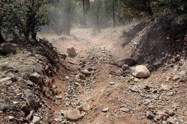
963
Trail #963 is a half-mile-long ATV trail through the Gila National Forest accessed from the Sapillo Campground. It is a dirt track through a grassy, low alpine forest with ponderosa pine. The initial climb from the north end is a bit steep and rutted, with loose rocks and embedded rock layers that m...
Learn more about 963
Beginner ATV trails near Arrey, New Mexico
Explore ATV-friendly trails near you. These trails are accessible for vehicles up to 50 inches wide, perfect for ATVs and smaller off-road machines.
Rio Grande Trail
This trail picks up right off of the Paloma Gap trail and veers off and follows the river. The overall trail is very scenic but exercise caution. When rain is present the levels of the washouts and the river rise rapidly so make sure to check the weather prior to taking the trail. The trail overall ...
Learn more about Rio Grande Trail
Penasco Springs
Penasco Springs is a wonderful desert experience that takes you down into the canyons at the base of the mountains and through some fun terrain that most 4x4 vehicles will handle. Starting out, the road is overall well maintained and gradually becomes more rocky before cutting through a dry river be...
Learn more about Penasco Springs
Burma Road-Garcia Falls
Burma Road-Garcia Falls begins on a decently maintained dirt and rock road that is wide enough for two vehicles for the first several miles and will be easily traveled with most high-clearance AWD and 4x4 vehicles. There are a few low-lying washes throughout the trail that will have the potential to...
Learn more about Burma Road-Garcia Falls
Powderhorn Ridge
Powderhorn Ridge begins in a short section of private land tracks before meeting the Gila National Forest boundary that is designated via a large sign and a water crossing that cuts through the Mimbres River. The trail shows recent signs of being maintained as of 04/2024 and is primarily a dirt surf...
Learn more about Powderhorn Ridge
Beginner UTV/side-by-side trails near Arrey, New Mexico
Find UTV and side-by-side trails near you. These trails accommodate vehicles up to 60 inches wide, ideal for UTVs, side-by-sides, and wider off-road rigs.
Rio Grande Trail
This trail picks up right off of the Paloma Gap trail and veers off and follows the river. The overall trail is very scenic but exercise caution. When rain is present the levels of the washouts and the river rise rapidly so make sure to check the weather prior to taking the trail. The trail overall ...
Learn more about Rio Grande Trail
Penasco Springs
Penasco Springs is a wonderful desert experience that takes you down into the canyons at the base of the mountains and through some fun terrain that most 4x4 vehicles will handle. Starting out, the road is overall well maintained and gradually becomes more rocky before cutting through a dry river be...
Learn more about Penasco Springs
Burma Road-Garcia Falls
Burma Road-Garcia Falls begins on a decently maintained dirt and rock road that is wide enough for two vehicles for the first several miles and will be easily traveled with most high-clearance AWD and 4x4 vehicles. There are a few low-lying washes throughout the trail that will have the potential to...
Learn more about Burma Road-Garcia Falls
Powderhorn Ridge
Powderhorn Ridge begins in a short section of private land tracks before meeting the Gila National Forest boundary that is designated via a large sign and a water crossing that cuts through the Mimbres River. The trail shows recent signs of being maintained as of 04/2024 and is primarily a dirt surf...
Learn more about Powderhorn Ridge
The onX Offroad Difference
onX Offroad combines trail photos, descriptions, difficulty ratings, width restrictions, seasonality, and more in a user-friendly interface. Available on all devices, with offline access and full compatibility with CarPlay and Android Auto. Discover what you're missing today!
Open Trail Map