
Beginner Off-Road Trails
Near Arimo, Idaho
Explore All Beginner Trails Near Arimo, Idaho
Beginner Off-Road Trails Near Arimo, Idaho
Discover the best beginner-friendly off-road trails near you. These easier, lower-rated trails are a great place to start — browse trail maps, check difficulty ratings, and find your next adventure.
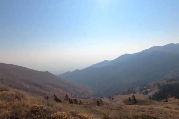
Scout Mountain
Scout Mountain Road is a scenic 11.5-mile drive south of Pocatello, Idaho traversing the Caribou-Targhee National Forest. The route climbs roughly 3,000 feet, winding through pine and aspen forests to offer panoramic views of the Portneuf Range. The surface consists of well-maintained dirt and grave...
Learn more about Scout Mountain
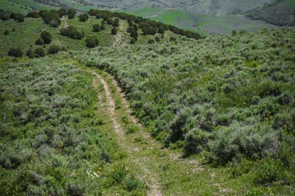
Deep Creek/White Canyon
This is an easy ATV trail in the Caribou National Forest near Malad, Idaho. The south end of the trail connects to the Trail Hollow to Maple Hollow ATV trail, and it crosses Maple Hollow about halfway through. The north end of the trail is fainter and starts to peter out before it ends at private pr...
Learn more about Deep Creek/White Canyon
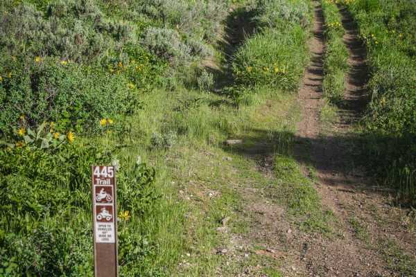
Third Creek to Ruben Hollow 7445
This is a short and easy ATV trail that can be used as a connection to the Ruben Hollow single track. From the south end, it starts at a shallow short creek crossing at the three way intersection with ATV 7441 and the Ruben Hollow single track. Part of the trail has water running down the trail from...
Learn more about Third Creek to Ruben Hollow 7445
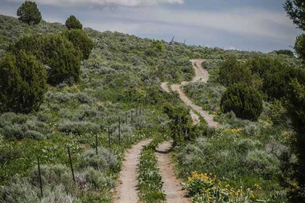
Trail Hollow to Maple Hollow
This ATV trail starts at a cattle gate at the intersection with Deep Creek/White Canyon. Depart from the gate to the left, and follow the two-track through the grassy rolling hills of the Caribou National Forest. The trail has some loose small rocks but is mostly smooth dirt. There are some small ea...
Learn more about Trail Hollow to Maple Hollow
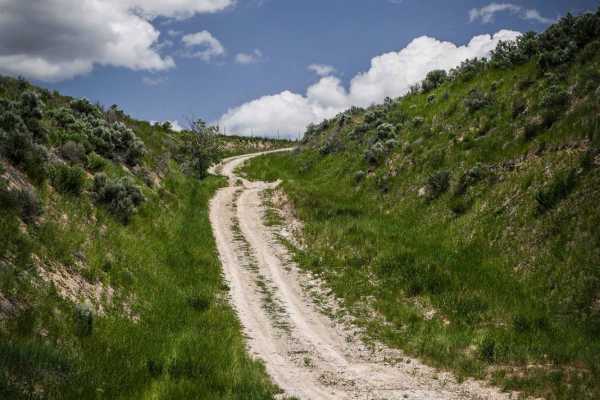
Maple Hollow
This short ATV trail starts as a steep road-width trail off of Old Highway 191 near Malad, Idaho. The entrance is unmarked and across from a small dirt pull-off on the side of the paved road that can be used as a staging area. The trail is very dusty with some washed-out sections and ruts, but still...
Learn more about Maple Hollow
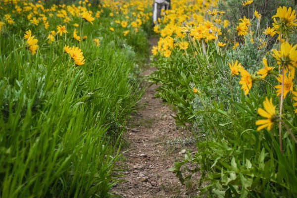
Deep Creek to Ruben Hollow 7440
This is a 50" designated trail in the Caribou National Forest between Malad City and Preston, Idaho. Although designated for ATVs, the trail has narrowed over time as it's probably mostly ridden by dirt bikes, and would now be a challenge for ATVs, especially in a narrow ravine in the beginning. On ...
Learn more about Deep Creek to Ruben Hollow 7440
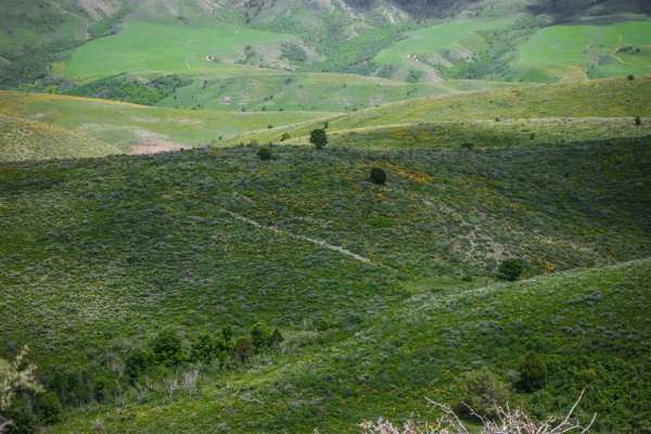
Trail Hollow (Malad)
This is a short ATV trail in the Caribou National Forest that can be explored in combination with several other easy ATV trails near Malad, Idaho. The trail is two-track width and flows over several rolling green wide open hills overlooking the rural town of Malad. It's absolutely full of stunning w...
Learn more about Trail Hollow (Malad)
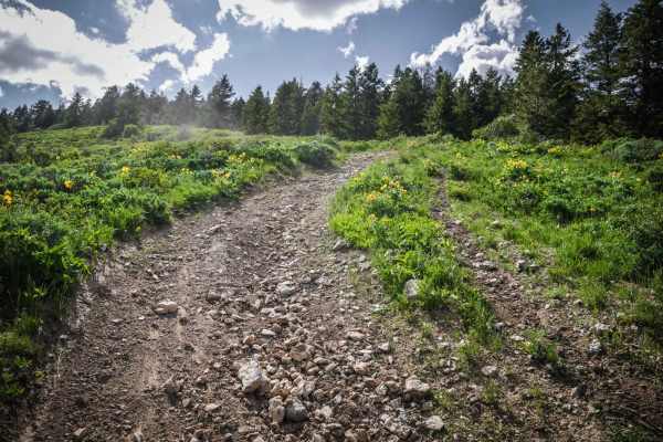
Clifton Basin to Weston Peak ATV 7433 (Part 1)
This short ATV trail is part of the trail system in the Caribou National Forest near Preston, Idaho. It is a moderately challenging trail for ATVs and dirt bikes due to lots of small and big loose rocks in the trail, and several steep climbs with roots and ruts. The trail is pretty bumpy due to all ...
Learn more about Clifton Basin to Weston Peak ATV 7433 (Part 1)
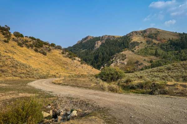
Sky Line
This 9-mile trail, winding along the ridge of the Bannock Mountain Range within the Caribou National Forest, offers an enjoyable drive. Starting near Malad and finishing near Weston (or vice versa), the route features mostly easy-to-navigate dirt roads. Although occasional minor ruts may appear, a s...
Learn more about Sky Line
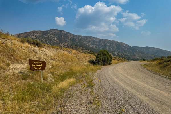
Two-Mile Canyon
Nestled near Malad, Idaho, this scenic pass offers a smooth and enjoyable drive from Malad to Weston and vice versa. The trail is a well-maintained dirt road, making it accessible to most vehicles, including those with less rugged capabilities. Along the journey, intermittent phone service is availa...
Learn more about Two-Mile Canyon
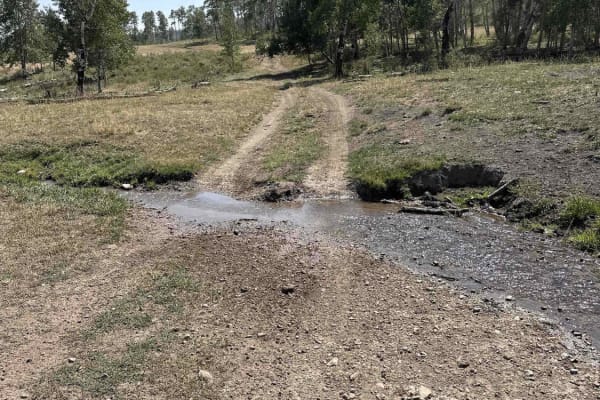
Indian Creek - Cow Camp
This is the most easily runnable Public-Land only route from 10 Mile Pass / Indian Creek area to the Cow Camp area. It is all dirt starting from the Indian Creek trailhead off of 10-mile pass road. This route skirts the northeastern base of the Chesterfield range. You will pass through a variety of...
Learn more about Indian Creek - Cow Camp
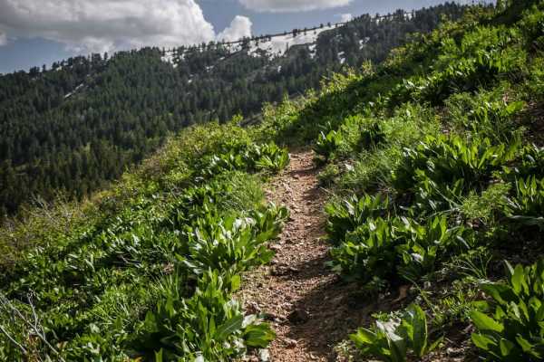
Clifton Basin to Weston Peak Single Track - 7433
This is one of several awesome single tracks in the Caribou National Forest near Preston, Idaho. It is fun, fast and flowy, and very narrow. The single track traverses across the side of a green rolling hill side with mild exposure as you are side-hilling. There are a couple tight turns that come up...
Learn more about Clifton Basin to Weston Peak Single Track - 7433
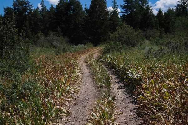
Slate Trail #3119
Slate Trail #3119 is a 0.9-mile-long ATV spur forming a short loop with Trail #3118 off of Trail #3331. This easy route follows a mostly flat and gradual path through tall grass and mixed vegetation, with occasional overgrowth encroaching onto the trail. The surface consists primarily of smooth dirt...
Learn more about Slate Trail #3119
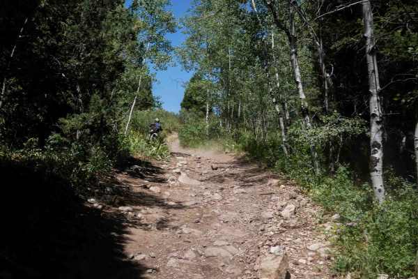
Bailey Ridge #3118
Bailey Ridge #3118 is a 1.4-mile-long ATV spur that branches off Trail #3331 and travels across sagebrush-covered hillsides and wide open meadows. The trail follows a gradual grade with a dry, dusty surface that includes grassy sections and shallow ruts. While there are no large obstacles or ledges,...
Learn more about Bailey Ridge #3118
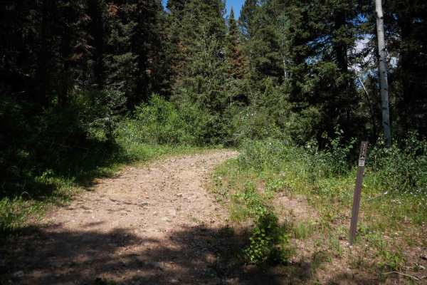
Cow Fork Bench #3373
Cow Fork Bench #3373 is an easy 1.4-mile-long ATV trail that begins at a gate with space for a 50-inch vehicle to enter. It travels north across the base of a hillside on mostly flat terrain. The route is wide and grassy, with no significant obstacles or elevation change, making it a gentle and stra...
Learn more about Cow Fork Bench #3373
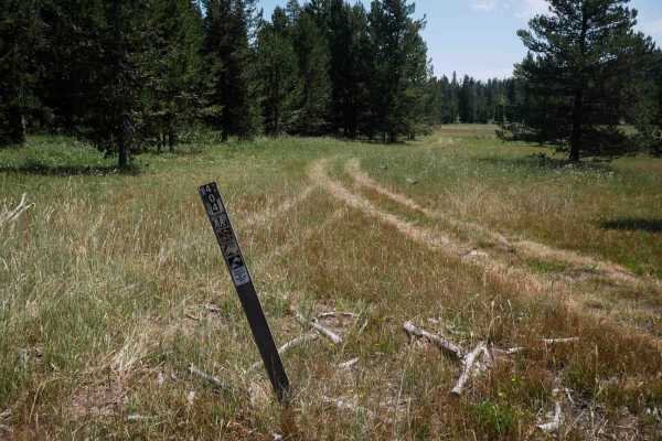
Moonlight Meadow #3404
Moonlight Meadow #3404 is a 1.5-mile-long primitive ATV trail that begins at a marked intersection with Trail #3442 and forms a half-loop up to a connecting forest service road. The trail is very faint with few visible tracks, making navigation difficult without a GPS map. The route travels through ...
Learn more about Moonlight Meadow #3404
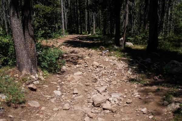
North Middle #3443
North Middle #3443 is a 1.2-mile ATV connector trail that links Trail #3404 to Forest Service Road #30401. The route begins at the west end as a more defined path exiting the meadow, making it easier to identify compared to the more primitive start of #3404. It follows a dirt two-track through fores...
Learn more about North Middle #3443
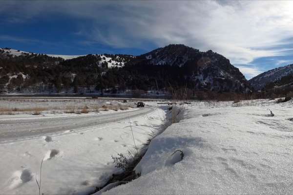
Oneida Narrows Reservoir
Oneida Narrows Reservoir is an easy 14.3-mile dirt and gravel Forest Service road tracing the Bear River canyon in southeastern Idaho. The route gently climbs 1,006 feet from an elevation of 4,642 feet to 5,177 feet. It features dramatic canyon walls, sagebrush hillsides, and abundant wildlife, and ...
Learn more about Oneida Narrows Reservoir
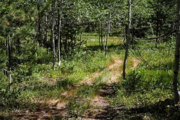
Trail Hollow #3368
Trail Hollow #3368 is a 4.4-mile-long ATV trail that forms a mellow loop through forest and open ridgelines. When ridden clockwise from its intersection with Trail #3332, it starts flat and winds easily through grassy and slightly overgrown forest. The surface is mostly small loose rocks with a few ...
Learn more about Trail Hollow #3368
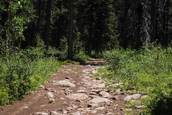
Emigration #3359
Emigration #3359 is a 2.6-mile-long ATV trail that begins at the north end on a wide, rocky path with no trail sign marking the start of its 50-inch designation. The initial section is filled with large embedded rocks in the surface that create a slower, bumpier ride, though they do not present sign...
Learn more about Emigration #3359
Beginner ATV trails near Arimo, Idaho
Explore ATV-friendly trails near you. These trails are accessible for vehicles up to 50 inches wide, perfect for ATVs and smaller off-road machines.
Scout Mountain
Scout Mountain Road is a scenic 11.5-mile drive south of Pocatello, Idaho traversing the Caribou-Targhee National Forest. The route climbs roughly 3,000 feet, winding through pine and aspen forests to offer panoramic views of the Portneuf Range. The surface consists of well-maintained dirt and grave...
Learn more about Scout Mountain
Deep Creek/White Canyon
This is an easy ATV trail in the Caribou National Forest near Malad, Idaho. The south end of the trail connects to the Trail Hollow to Maple Hollow ATV trail, and it crosses Maple Hollow about halfway through. The north end of the trail is fainter and starts to peter out before it ends at private pr...
Learn more about Deep Creek/White Canyon
Third Creek to Ruben Hollow 7445
This is a short and easy ATV trail that can be used as a connection to the Ruben Hollow single track. From the south end, it starts at a shallow short creek crossing at the three way intersection with ATV 7441 and the Ruben Hollow single track. Part of the trail has water running down the trail from...
Learn more about Third Creek to Ruben Hollow 7445
Trail Hollow to Maple Hollow
This ATV trail starts at a cattle gate at the intersection with Deep Creek/White Canyon. Depart from the gate to the left, and follow the two-track through the grassy rolling hills of the Caribou National Forest. The trail has some loose small rocks but is mostly smooth dirt. There are some small ea...
Learn more about Trail Hollow to Maple Hollow
Beginner UTV/side-by-side trails near Arimo, Idaho
Find UTV and side-by-side trails near you. These trails accommodate vehicles up to 60 inches wide, ideal for UTVs, side-by-sides, and wider off-road rigs.
Scout Mountain
Scout Mountain Road is a scenic 11.5-mile drive south of Pocatello, Idaho traversing the Caribou-Targhee National Forest. The route climbs roughly 3,000 feet, winding through pine and aspen forests to offer panoramic views of the Portneuf Range. The surface consists of well-maintained dirt and grave...
Learn more about Scout Mountain
Sky Line
This 9-mile trail, winding along the ridge of the Bannock Mountain Range within the Caribou National Forest, offers an enjoyable drive. Starting near Malad and finishing near Weston (or vice versa), the route features mostly easy-to-navigate dirt roads. Although occasional minor ruts may appear, a s...
Learn more about Sky Line
Two-Mile Canyon
Nestled near Malad, Idaho, this scenic pass offers a smooth and enjoyable drive from Malad to Weston and vice versa. The trail is a well-maintained dirt road, making it accessible to most vehicles, including those with less rugged capabilities. Along the journey, intermittent phone service is availa...
Learn more about Two-Mile Canyon
Indian Creek - Cow Camp
This is the most easily runnable Public-Land only route from 10 Mile Pass / Indian Creek area to the Cow Camp area. It is all dirt starting from the Indian Creek trailhead off of 10-mile pass road. This route skirts the northeastern base of the Chesterfield range. You will pass through a variety of...
Learn more about Indian Creek - Cow Camp
The onX Offroad Difference
onX Offroad combines trail photos, descriptions, difficulty ratings, width restrictions, seasonality, and more in a user-friendly interface. Available on all devices, with offline access and full compatibility with CarPlay and Android Auto. Discover what you're missing today!
Open Trail Map