
Beginner Off-Road Trails
Near Apalachin, New York
Explore All Beginner Trails Near Apalachin, New York
Beginner Off-Road Trails Near Apalachin, New York
Discover the best beginner-friendly off-road trails near you. These easier, lower-rated trails are a great place to start — browse trail maps, check difficulty ratings, and find your next adventure.
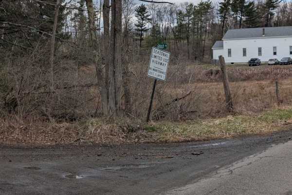
Gould Road
Recently graded and milled road just South of Owego near Pennsylvania State Game Lands #219, and an easy ride for any vehicle with great views on the Southern end of a working farm and mountains. The Southernmost end of the trail is much less maintained and can have small washes, rocks, and is gener...
Learn more about Gould Road
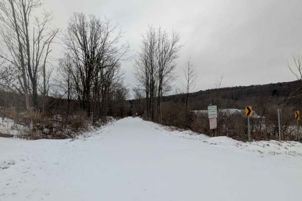
Hakes Road
This is a short, seasonal-use road that is largely unmaintained. The northernmost section is typically wet and swampy, leading into a semi-permanent wash. During winter, there is no snow removal, entrances may be blocked by snow mounds, and icy conditions should be expected in the northern section.
Learn more about Hakes Road
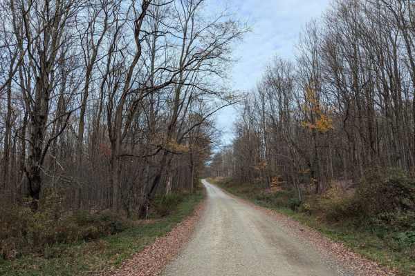
Fox Road
This is an easy road through Pennsylvania State Game Lands #219 leading back into New York. Mild grade, a few swooping turns, pretty tame overall. Pretty much a nice connector to get you from Montrose Turnpike back into Appalachian without passing through Little Meadows. Wintertime can be much harde...
Learn more about Fox Road
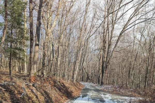
Shaughnessy Road
This is a short seasonal-use road outside of Little Meadows, Pennsylvania, paved with stone. It is a low/no maintenance road that has some steep grade hill climbing on the way up. The road can be washed out at times and has no winter maintenance. About halfway up, you will be presented with a hard r...
Learn more about Shaughnessy Road

Reagan Hill Road
This is a trail through Pennsylvania State Game Lands Number 219. It's mostly 1.5 vehicles wide and composed of dirt and gravel, leading you towards LeRaysville Road just over the border in Windam Township from Warren Township. The property owner nearest Montrose Turnpike has an excellent sense of h...
Learn more about Reagan Hill Road

Montrose Turnpike
This is a seasonal use road through Pennsylvania State Game Lands #219, also known as Montrose Turnpike. When crossing the state border, the road becomes much less maintained, with evidence of many downed trees along the way. The South to North direction will greet you with a wonderful view of mount...
Learn more about Montrose Turnpike
Hickey's Rocks Road
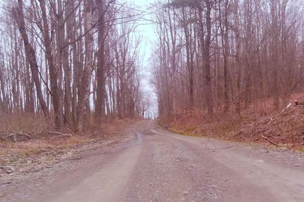
This is a short trail that leads into Pennsylvania State Game Lands Number 219. The road has no winter maintenance and you may find small sections of mud, downed trees, and ruts. There are a few small hill climbs and pull-off areas for general game land access along the route.
Learn more about Hickey's Rocks Road
Irish Hill Road
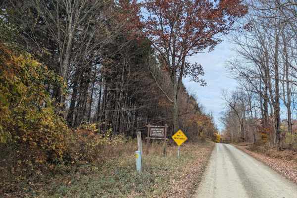
This is the most extended section of gravel road through Pennsylvania State Game Lands #219, with several large hills and vistas. The condition of the road is well maintained, with very few mud holes at the edges. Downed trees and washes are possible after heavy rain. This road has no winter mainten...
Learn more about Irish Hill Road

Kuhlman Road
This is a short, somewhat unmaintained road passing through the forest near Windham. Going North from here will place you just outside Nichols. The trail itself has several good views of farm land and a pond along one side. You'll pass over a small bridge and see some flowing water. The road is much...
Learn more about Kuhlman Road
Stone Jug Road
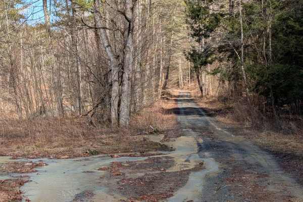
Stone Jug Road is very low maintenance, connecting Windham, Pennsylvania (Bradford County, Pennsylvania), and East Nichols, New York (Tioga County, New York), of about 3 miles. Terrain is somewhat varied with small washes, downed trees, and other obstructions possible. Winter provides no maintenance...
Learn more about Stone Jug Road
Brown Road
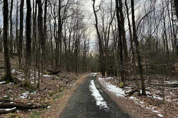
Brown Road connects Quinn Road and Heavey Road. It is a seasonal-use road that is unpaved and dirt in spots. The trail is relatively easy and fairly narrow, only the width of one car at times. A ride can be connected around in both directions through the hills of northeastern Pennsylvania.
Learn more about Brown Road
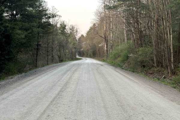
Brinton Road to Lyons Road
Brinton Road connects Brackney, Pennsylvania, to eastern Susquehanna County. This is an all-dirt road that is mainly 2 cars wide but does thin down to one car width at higher elevations. A ride can be connected to Cross Road at the end of this route, opposite of Brackney.
Learn more about Brinton Road to Lyons Road
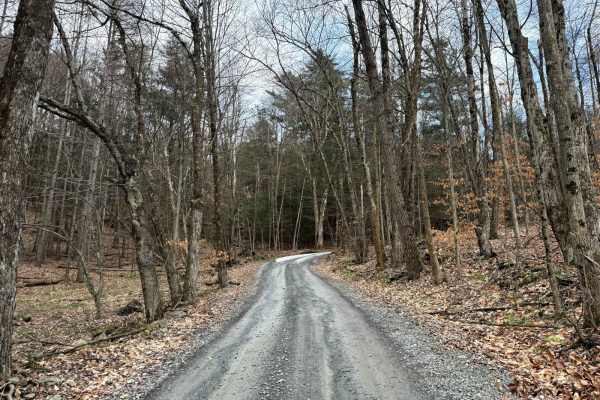
Kelly Road
Kelly Road turns to dirt and gravel on the north end near O'Reilly Road and ends at Crowley Road on the south end, which is also dirt. The trail is relatively easy and fairly narrow, only the width of one car at times. A ride can be connected around in both directions through the hills of northeaste...
Learn more about Kelly Road
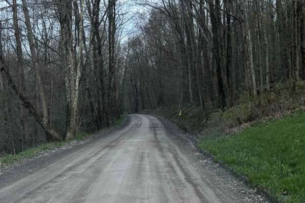
Tripp Lake Road
Tripp Lake Road connects to Brinton Road and Mill Road. This trail is mainly 2 cars wide but does get narrower to about 1.5 cars wide in spots. It is a great road for cruising with minimal potholes and washouts. Great connection to the other dirt roads of northeast PA.
Learn more about Tripp Lake Road
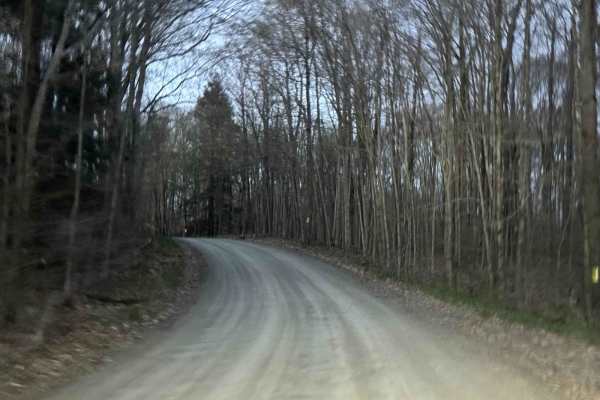
Camp Road
Brinton Road connects Tripp Lake Road to Howard Hill Road. This is an all-dirt road that is mainly 2 cars wide but does thin down to one car width at higher elevations. The surface is a mix of dirt and gravel and is maintained. A ride can be connected from Brackney, Pennsylvania, to Brookdale.
Learn more about Camp Road
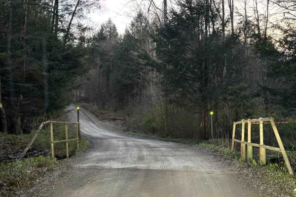
Mill Road
Mill Road is a gravel road that has some great ups and downs and a bridge about halfway down. There is a gas pad at the northern end, as you head south the trail gets tighter and has more turns. Great connection south towards other good dirt road riding.
Learn more about Mill Road
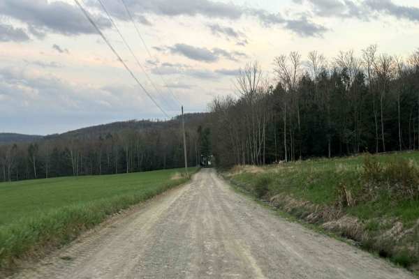
Cross Road
This route connects Lower Rhiney Creek Road to Upper Rhiney Creek Road. This is an all-dirt road that is mainly one car wide but is two cars wide at entrances and exits. This road has some elevation changes and rolling turns that make it a lot of fun when dry or wet.
Learn more about Cross Road
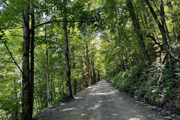
Howard Hill Road
Howard Hill Road connects Lower Rhiney Creek Road to Camp Road. This road is mainly 1.5 cars wide and is a gravel road with minimal washouts or potholes. This road goes up a steep grade at the beginning before it curves towards an intersection at the top of the road.
Learn more about Howard Hill Road
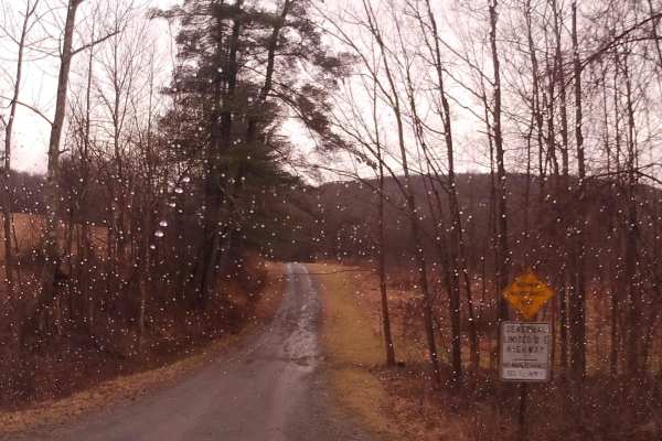
Leonard Road
This is a seasonal-use road that follows a creek bed with a few small waterfalls. It's beautiful to see and worth the effort. The road is a gravel base that is mostly unmaintained in the winter. There is at least 1 small area that is a little close to the edge at a water crossing; otherwise, it's a ...
Learn more about Leonard Road
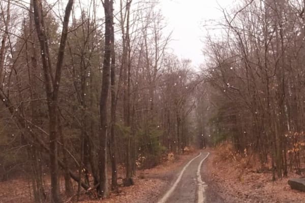
Hammond Hill Track
This is an easy route with a gravel base leading through Hammond Hill State Forest. After snow/rain, traction can be limited with little to no winter maintenance. There are a few decent turnarounds and some mud off to the sides. A barrier exists about two-thirds the way through to the other side.
Learn more about Hammond Hill Track
Beginner ATV trails near Apalachin, New York
Explore ATV-friendly trails near you. These trails are accessible for vehicles up to 50 inches wide, perfect for ATVs and smaller off-road machines.
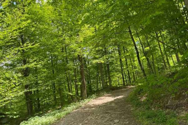
Big Valley Road
Big Valley Road offers a scenic and highly accessible offroad driving experience for novice drivers and seasoned explorers alike, serving as a tranquil passage through Pennsylvania's dense State Game Lands. Stretching approximately 2.2 miles, this winding forest road climbs from an elevation of 1,29...
Learn more about Big Valley Road
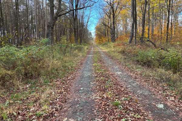
Cross Island Road
This is a seasonal gravel road that winds through the eastern section of Taylor Valley State Forest. The road starts with well-maintained gravel and transitions into a narrower two-track as it pushes deeper into the forest. Cross Island Road provides a scenic drive through mixed hardwoods and conife...
Learn more about Cross Island Road
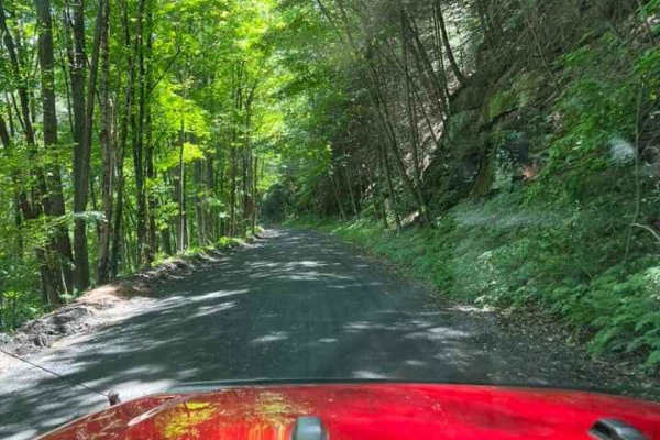
T-743/T-727
The trail starts off in Poyntelle as Township-727 and in Winterdale as T-743. This section of the O and W Trail is a recognized Township route open to street-licensed 4x4s. The trail follows the former route of the Ohio and Western Railroad. Multiple former stations can be observed along the route. ...
Learn more about T-743/T-727
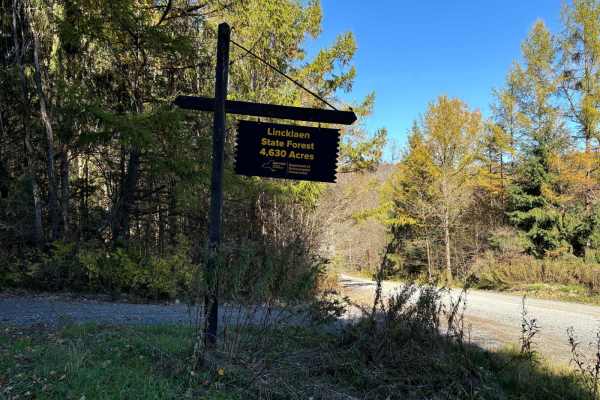
Linklaen State Forest
This route consists of seasonal gravel roads that are generally well-maintained in the summer. During the winter the roads are used for snowmobile trails. The roads lead to several side routes that are two-tracks, most are out-and-back routes and will add adventure to the ride. The main road is easi...
Learn more about Linklaen State Forest
Beginner UTV/side-by-side trails near Apalachin, New York
Find UTV and side-by-side trails near you. These trails accommodate vehicles up to 60 inches wide, ideal for UTVs, side-by-sides, and wider off-road rigs.
Big Valley Road
Big Valley Road offers a scenic and highly accessible offroad driving experience for novice drivers and seasoned explorers alike, serving as a tranquil passage through Pennsylvania's dense State Game Lands. Stretching approximately 2.2 miles, this winding forest road climbs from an elevation of 1,29...
Learn more about Big Valley Road
Cross Island Road
This is a seasonal gravel road that winds through the eastern section of Taylor Valley State Forest. The road starts with well-maintained gravel and transitions into a narrower two-track as it pushes deeper into the forest. Cross Island Road provides a scenic drive through mixed hardwoods and conife...
Learn more about Cross Island Road
T-743/T-727
The trail starts off in Poyntelle as Township-727 and in Winterdale as T-743. This section of the O and W Trail is a recognized Township route open to street-licensed 4x4s. The trail follows the former route of the Ohio and Western Railroad. Multiple former stations can be observed along the route. ...
Learn more about T-743/T-727
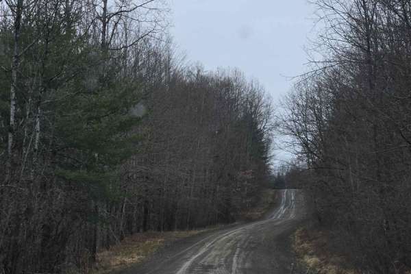
Templar Falls - Sugar Hill Road
This is an easy dirt road that will become rutted and muddy come spring. This section has access to primitive camping and multiple hiking trails including the Finger Lakes Trail, A-Trail, and Mohawk Trail. Mohawk trail activities include hiking, horseback, mountain biking, snowmobiling, and cross-co...
Learn more about Templar Falls - Sugar Hill Road
The onX Offroad Difference
onX Offroad combines trail photos, descriptions, difficulty ratings, width restrictions, seasonality, and more in a user-friendly interface. Available on all devices, with offline access and full compatibility with CarPlay and Android Auto. Discover what you're missing today!
Open Trail Map