
Beginner Off-Road Trails
Near Amado, Arizona
Explore All Beginner Trails Near Amado, Arizona
Beginner Off-Road Trails Near Amado, Arizona
Discover the best beginner-friendly off-road trails near you. These easier, lower-rated trails are a great place to start — browse trail maps, check difficulty ratings, and find your next adventure.
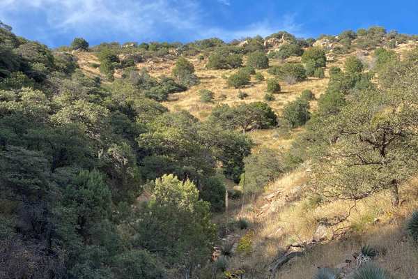
Whipple Obervatory Rally
Are you visiting family in Tucson and want to scratch that dirt road itch? Looking for a quick and easy adventure with sweeping views? Do you want to rally your family's crossover by taking the long way to the car wash? Buckle up, because this is the adventure for you!Mount Hopkins is home to the Wh...
Learn more about Whipple Obervatory Rally

486
This entire trail is road-width, although designated for dirt bikes only. It starts off Sardina Canyon Road (684) in a wash full of small rocks, and rides north towards some rocky outcroppings, riding past the entrance for 485. The trail surface is constantly full of small loose rocks and shallow ru...
Learn more about 486
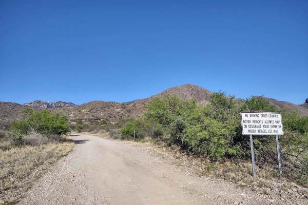
Forest Road 183
Forest Road 183 takes you from the low desert up to nearly 6,000FT in elevation past the hiking trail heads for Elephant Head and Aguas Caliente. The route varies from 2wd high clearance to steep and 4wd high clearance recommended by the terminus at a locked gate and towers. There are campsites all ...
Learn more about Forest Road 183
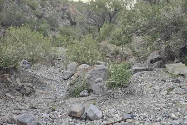
Proctor Trail
A trail that will get you towards Keystone Peak in the Sierrita Mountains. If you want to continue onward, bring a mountain bike or hike; access is blocked by large boulders. Not too difficult with a Jeep or side-by-side. May be overgrown in areas, bring a hand chain saw. Goes through State Trust la...
Learn more about Proctor Trail
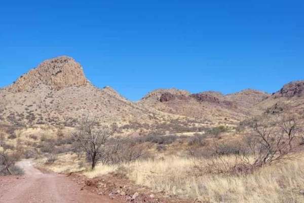
Sardina Canyon
It's a scenic trail with plenty of great views. It's not too bad to travel as it's recently been overhauled by the forest service, but it still has a few steep hills and washes to cross that could become difficult in the monsoon season. Overall, it's a great trail to check out!
Learn more about Sardina Canyon
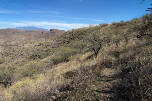
481
The west end of this trail starts as road-width, winding through the mesquite trees, over a layer of small loose rocks. The trail starts to climb up the rolling desert hill along a fence line, with ruts and baby head rocks, riding past prickly pear cactus and ocotillos. At the top of the hill, the t...
Learn more about 481
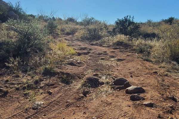
Cerro Colorado South Access
This is a scenic trail with a few mild obstacles. There is a relatively rocky patch of trail north of Cradle Tank, but other than that, it's not too technical. Definitely a very scenic drive with a lot of mountain views. It can be done in a good 4x4 vehicle with plenty of ground clearance. A couple ...
Learn more about Cerro Colorado South Access
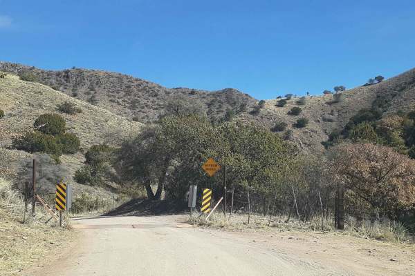
Box Canyon Road
This is a scenic drive through the Santa Rita Mountains that gets you up and out of the desert and into the oaks. Great views along the way! Coming from the east side of the mountains, it tops out behind the community of Greaterville and brings you back out to Highway 83. From there, you can head so...
Learn more about Box Canyon Road
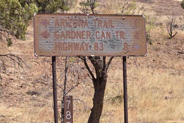
FSR 785 to trailhead
FSR 785 is a scenic drive to the trailhead in the wilderness area. You will drive through a canyon with dispersed camping areas. The ride is under sycamore, Alligator Juniper, and oak trees. There are several wash crossings, and many hiking trailheads off this trail. You may see an abundance of wild...
Learn more about FSR 785 to trailhead
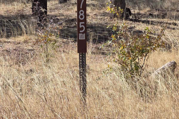
Hog Canyon- BLM 4111
From Gardner Canyon Road, turn left on 785 to the intersection, then go left on 4111. Follow this trail to the T intersection, turn right on 4088, follow this to another T intersection. This trail is passable by most vehicles. 4 wheel drive is recommended during inclement weather. The day we rode th...
Learn more about Hog Canyon- BLM 4111
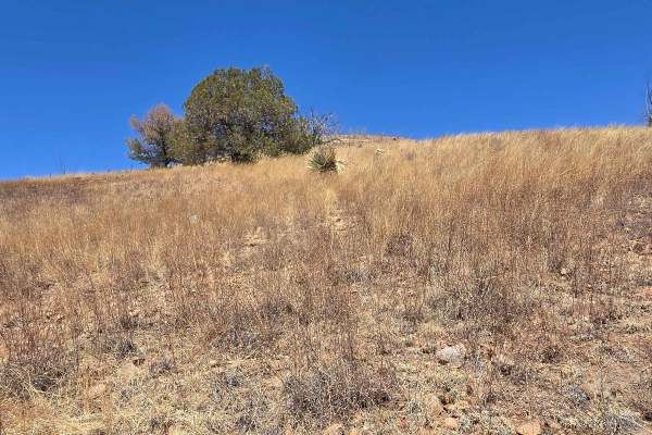
Hog Canyon Side Trail
This was a fun and engaging side trail off of Hog Canyon Trail. It meanders down the hill until you reach a gate. Be sure to close the gate if it's closed when you get there. Follow this trail to the end at a large watering pond in the trees. You may or nmay ot find cows at the end of the pond.
Learn more about Hog Canyon Side Trail
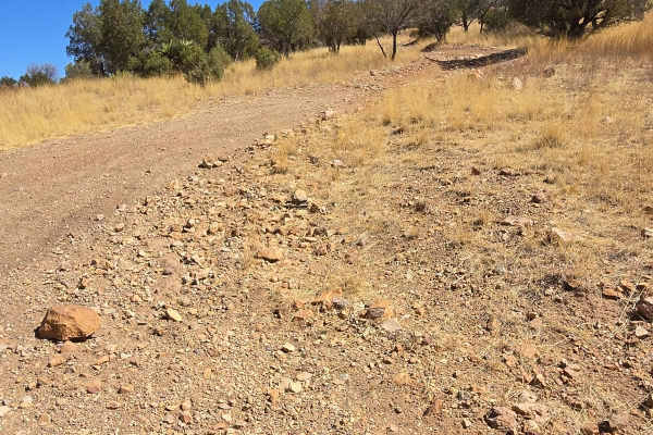
Hog Ridge - Trail 4859
This trail is a bit rocky, it rides the ridge above Hog Canyon. You will have views of the town and the mountains in the distance. You will be riding through grassy fields dotted with Mesquite and Oak trees, along with yucca, ocotillo cactus. This is a typical trail not requiring 4-wheel drive or hi...
Learn more about Hog Ridge - Trail 4859
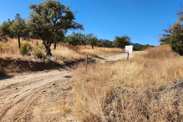
Fish East
Fish East is a fairly easy connector trail with few obstacles. Along Fish East, you'll discover a blend of intriguing sights and natural beauty. You'll come across remnants of old mining operations, such as those from the Santa Rita Water and Mining Company. This area is also abundant in wildlife an...
Learn more about Fish East
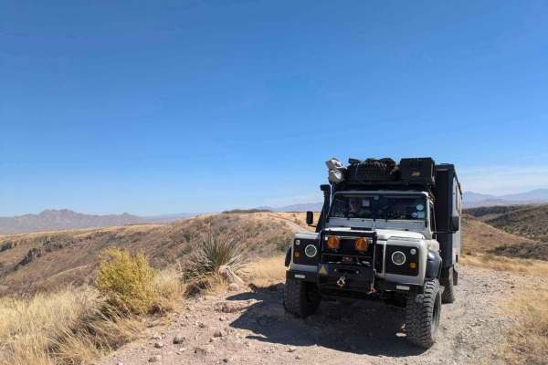
Wise Mesa - FR4151
Accessed through a suburb, this trail at first appears not to be very interesting, but the further you travel, the more scenic the trail becomes. Winding through ranchland, the trail is bumpy, dusty, and rocky but not challenging until you reach the trail down to the small lake where camping is poss...
Learn more about Wise Mesa - FR4151
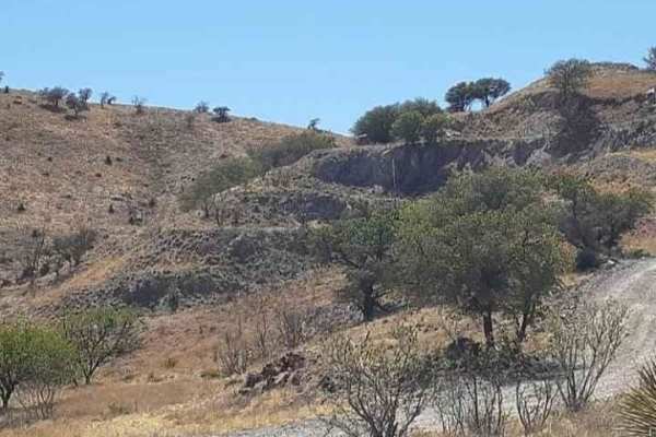
Yellow Jacket Loop
This is a great dirt trail with scenic views. Go right past the historic "Yellow Jacket Mine" and see all the equipment left there. Plenty of views of the surrounding hills and even all the way to the border with Mexico. Travel up to the top of Fraguita Peak for a stunning view!
Learn more about Yellow Jacket Loop
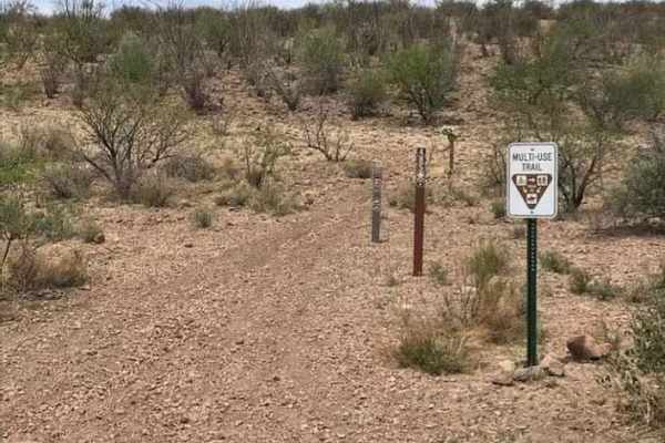
Ruby Road
Scenic views on this trail plus go by the historic ghost town of Ruby Arizona! The road will take you within 2.6 miles of the border with Mexico and along with the views, you'll pass by Arivaca Lake and Pina Blanca Lake. Both are great places to stop and relax on your trip!
Learn more about Ruby Road
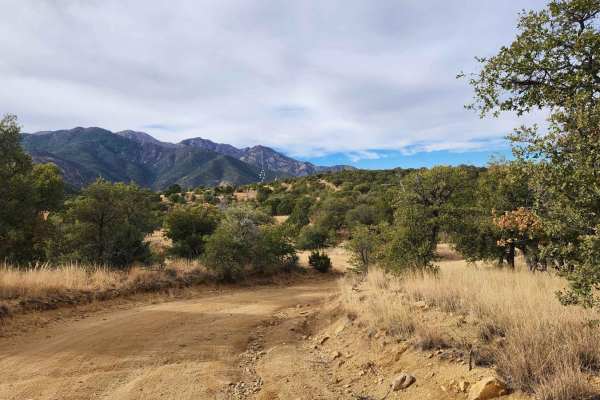
Melendrez Pass
Melendrez Pass is a scenic off-road trail located in Arizona, ideal for those looking to explore the rugged beauty of the desert. Along the way, you'll encounter stunning views of the surrounding mountains and valleys, as well as opportunities to spot local wildlife. It's a great spot for a day trip...
Learn more about Melendrez Pass
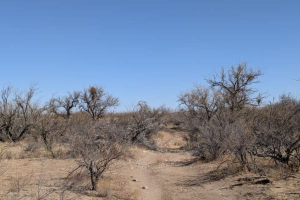
FR229 Bueno Tank Road
The first half of the trail is relatively straightforward, though drivers should expect some pinstriping and off-camber sections when passing through the washes. As the route continues, it transitions into open grasslands, where the terrain becomes noticeably sandy and dusty. The area is home to abu...
Learn more about FR229 Bueno Tank Road
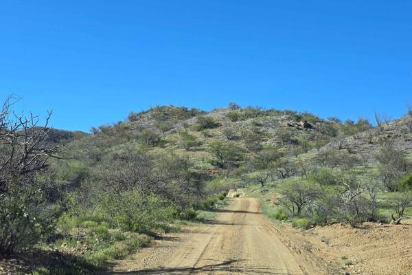
California Gulch Forest Road 217
This is a rolling maintained and well-used trail. It loops through the high desert, passing through many flowing streams in the wet seasons. There are old mines all along the route as well as an old dam. Also along the way are three old mining cemeteries. There are many spurs to explore off of this ...
Learn more about California Gulch Forest Road 217
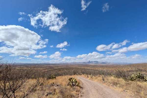
FR 244 Guijas Loop South Road
The off-road trail in the Buenos Aires National Wildlife Refuge follows a loop route through a wash, offering a scenic and varied driving experience. Along the way, visitors may spot wildlife, including falcons soaring overhead. The trail features numerous campsites, providing plenty of options for ...
Learn more about FR 244 Guijas Loop South Road
Beginner ATV trails near Amado, Arizona
Explore ATV-friendly trails near you. These trails are accessible for vehicles up to 50 inches wide, perfect for ATVs and smaller off-road machines.
Whipple Obervatory Rally
Are you visiting family in Tucson and want to scratch that dirt road itch? Looking for a quick and easy adventure with sweeping views? Do you want to rally your family's crossover by taking the long way to the car wash? Buckle up, because this is the adventure for you!Mount Hopkins is home to the Wh...
Learn more about Whipple Obervatory Rally
Forest Road 183
Forest Road 183 takes you from the low desert up to nearly 6,000FT in elevation past the hiking trail heads for Elephant Head and Aguas Caliente. The route varies from 2wd high clearance to steep and 4wd high clearance recommended by the terminus at a locked gate and towers. There are campsites all ...
Learn more about Forest Road 183
Proctor Trail
A trail that will get you towards Keystone Peak in the Sierrita Mountains. If you want to continue onward, bring a mountain bike or hike; access is blocked by large boulders. Not too difficult with a Jeep or side-by-side. May be overgrown in areas, bring a hand chain saw. Goes through State Trust la...
Learn more about Proctor Trail
Sardina Canyon
It's a scenic trail with plenty of great views. It's not too bad to travel as it's recently been overhauled by the forest service, but it still has a few steep hills and washes to cross that could become difficult in the monsoon season. Overall, it's a great trail to check out!
Learn more about Sardina Canyon
Beginner UTV/side-by-side trails near Amado, Arizona
Find UTV and side-by-side trails near you. These trails accommodate vehicles up to 60 inches wide, ideal for UTVs, side-by-sides, and wider off-road rigs.
Whipple Obervatory Rally
Are you visiting family in Tucson and want to scratch that dirt road itch? Looking for a quick and easy adventure with sweeping views? Do you want to rally your family's crossover by taking the long way to the car wash? Buckle up, because this is the adventure for you!Mount Hopkins is home to the Wh...
Learn more about Whipple Obervatory Rally
Forest Road 183
Forest Road 183 takes you from the low desert up to nearly 6,000FT in elevation past the hiking trail heads for Elephant Head and Aguas Caliente. The route varies from 2wd high clearance to steep and 4wd high clearance recommended by the terminus at a locked gate and towers. There are campsites all ...
Learn more about Forest Road 183
Proctor Trail
A trail that will get you towards Keystone Peak in the Sierrita Mountains. If you want to continue onward, bring a mountain bike or hike; access is blocked by large boulders. Not too difficult with a Jeep or side-by-side. May be overgrown in areas, bring a hand chain saw. Goes through State Trust la...
Learn more about Proctor Trail
Sardina Canyon
It's a scenic trail with plenty of great views. It's not too bad to travel as it's recently been overhauled by the forest service, but it still has a few steep hills and washes to cross that could become difficult in the monsoon season. Overall, it's a great trail to check out!
Learn more about Sardina Canyon
The onX Offroad Difference
onX Offroad combines trail photos, descriptions, difficulty ratings, width restrictions, seasonality, and more in a user-friendly interface. Available on all devices, with offline access and full compatibility with CarPlay and Android Auto. Discover what you're missing today!
Open Trail Map