
Beginner Off-Road Trails
Near Alexander, Arkansas
Explore All Beginner Trails Near Alexander, Arkansas
Beginner Off-Road Trails Near Alexander, Arkansas
Discover the best beginner-friendly off-road trails near you. These easier, lower-rated trails are a great place to start — browse trail maps, check difficulty ratings, and find your next adventure.
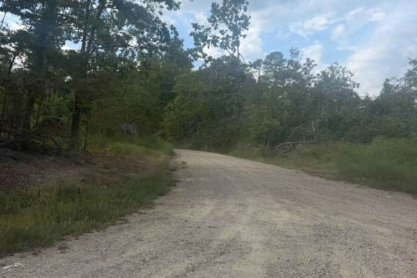
Reform Point
Reform Point is an easy connector route running from Lake Sylvia toward Winona Lake and Highway 9, with access to Wildcat Mountain. This well-maintained gravel road winds through mature hardwoods and tall pine forests, gently climbing and descending the rolling hills. The road is generally wide enou...
Learn more about Reform Point
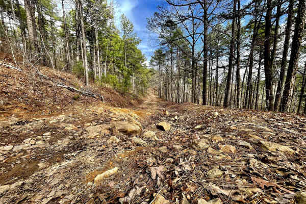
Muse Mountain Road
Muse Mountain is about 9 miles long in the National Forest. This trail is great to start your off-roading adventure into the Ouachita National Forest. Muse Mountain offers water crossings, camping, mud, and some light off-camber action. It is very common to encounter sightings of deer, turkey, and e...
Learn more about Muse Mountain Road
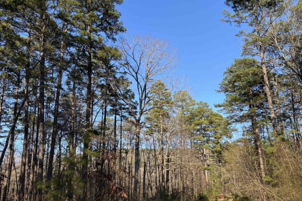
Wildcat Mountain 179
It's called Wildcat for a reason, this road isn't for the faint of hearts. 4low is required in certain sections of this road. Coming from the east side it starts out as an easy gravel road that any regular car could go through but then at mile 1.8, it turns into a 4x4 road only. The road is complete...
Learn more about Wildcat Mountain 179
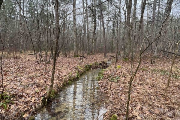
North Fork Pinnacle Road 132C
I started the trail in 2-wheel drive but not far into the trail, I had to put it in 4L. This is due to the clearance issues and needing to go slow for uneven ground. This trail closes in the summer and is open in the fall and winter. They use the trail during the summer as a hiking trail. Great trai...
Learn more about North Fork Pinnacle Road 132C
South Winona Forest Road
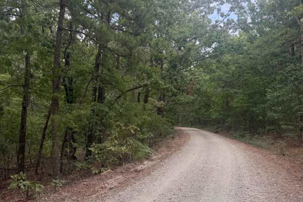
South Winona Forest Road connects to North Fork Pinnacle Road at an intersection with Winona Forest Drive and then continues east to Highway 9. This well-traveled route is suitable for most high-clearance vehicles, although erosion has created scattered whoops, shallow puddles, and uneven sections t...
Learn more about South Winona Forest Road

Lake Sylvia to Winona Lake and HWY9
This scenic and beginner-friendly route is ideal for overland enthusiasts, SxSs, and high-clearance four-wheel-drive vehicles looking to explore the beautiful pine and oak forests of the eastern Ouachita National Forest. Spanning approximately 18.5 miles, this easy dirt and gravel trail connects the...
Learn more about Lake Sylvia to Winona Lake and HWY9
Brown Creek Road 805
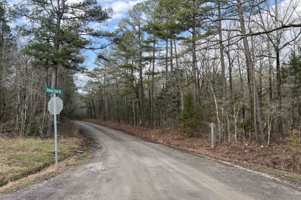
Brown Creek winds you through the forest with beautiful views, lots of creek crossings, and campsites. This trail will also lead you to the Ouachita National Recreation trail which is a 223-mile trail, there are two entrance points along this route to access this trail. This route could be a basecam...
Learn more about Brown Creek Road 805
Blue Jay Hollow
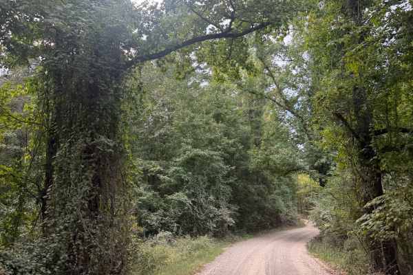
Blue Jay Hollow connects North Fork Road 86 to Route 324, with several other trails branching off along the way. It’s an open, well-maintained road that’s generally wide enough for two vehicles to pass comfortably. The drive takes you through the Ouachita National Forest, with tall pines lining much...
Learn more about Blue Jay Hollow
Alum Fork Road 114
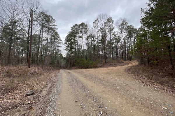
Alum Fork or Forest Road 114 is an excellent way to navigate through the beautiful Ouachita National Forest without ever having to touch the pavement. It has several dispersed camping areas and winds its way around Lake Winona if you're wanting to catch some fish or get the kayak on the water. Wildl...
Learn more about Alum Fork Road 114
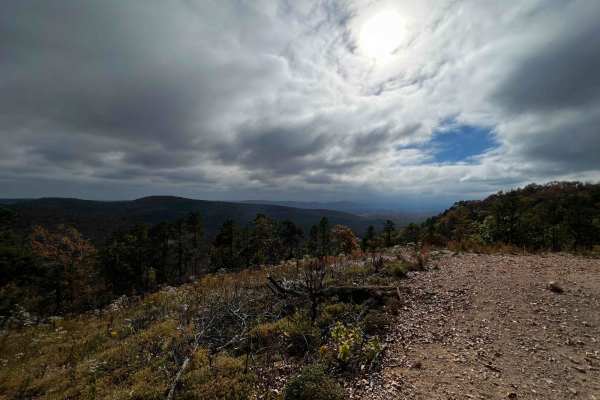
AR 5 - Main Park Road
This is the main road that runs along the top ride of the east side of the park. Many of the trails start and begin off this road. Many of the advanced park trails are directional, so be mindful of that when navigating from one trail to the next. This road is rough in some areas but most vehicles at...
Learn more about AR 5 - Main Park Road
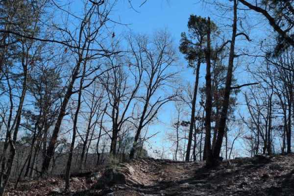
E20 Road to Prothane
E20 Road to Prothane is an easy trail through the woods, primarily used by those finishing D1 Rubicon Ridge as a direct route to the overlook at Prothane Point. It is mostly dirt with a few small rocks. The park rating for this trail is 2 diamonds.
A Park Day-Use Trail Pass is required to access th...
Learn more about E20 Road to Prothane

G15 Road to Adventure
G2 Road to Adventure is a mild trail that gently flows through the woods. It is relatively flat and does not offer any major challenges beyond trees close to the edge of the trail.
The park rating for this trail is 2 diamonds. A Park Day-Use Trail Pass is required to access this system of trails. C...
Learn more about G15 Road to Adventure
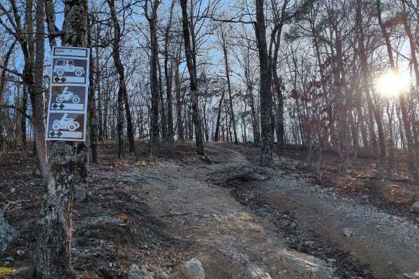
G20
G20 is a shortcut trail that branches off of G6 Squid's Jaunt and goes up into the woods near the end of F52 Head Banger and the beginning of F57. It is a little steep at the beginning, but the trail is pretty smooth overall.
The park rating for this trail is 2 diamonds. A Park Day-Use Trail Pass i...
Learn more about G20
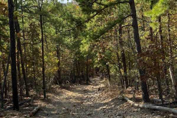
F41 Compass Canyon
This trail provides a fairly easy connection between the east and west sides of the park. It is one vehicle wide with plenty of places to pass since it is two-way traffic. On its eastern end it connects to AR Highway 5 trail and the western end connects to Lash's Loop F17 near the intersection with...
Learn more about F41 Compass Canyon
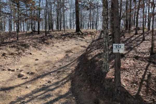
E12 Prothane Point
E12 Prothane Point is an easy trail through the woods that takes you to a scenic overlook. It provides a nice scenic exit from D1 Rubicon Ridge. It is a great place to stop for lunch and enjoy the view.
The park rating for this trail is 1 diamond. A Park Day-Use Trail Pass is required to access thi...
Learn more about E12 Prothane Point
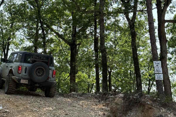
F44 Event Parking
F44 - Event Parking is a connecting trail from G7 Pipeline to G43 Go Mud'n. This trail is a very short downhill starting from the G7 Pipeline. Some small of camber angle going down the hill and then meets back up onto G43. All and any stock vehicles in the park could do this trail very easily.
Learn more about F44 Event Parking
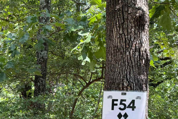
F54
F54 Village Roll is a connecting trail between F50 and F41. Coming from the F50 side you will be met with a climb up the hill and cross paths with F57. There are some larger rocks on this crossing, and depending on trail conditions could be pretty rough. You will end out on F41 near the "Village Ove...
Learn more about F54
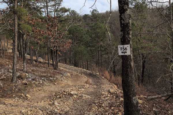
F56
F56 is just a short trail connecting F50 to F54. It is mostly loose rock with a nice view of F52 Head Banger down below. It is somewhat narrow and near a steep drop-off, so ride with caution.
The park rating for this trail is 3 diamonds. A Park Day-Use Trail Pass is required to access this system o...
Learn more about F56
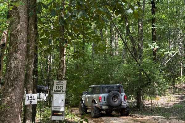
F43 Go Mud'n
F43 - Go Mud'n is a very easy trail. You can access this trail from the Northwest side from Highway 1 or from the southeast side on G7 pipeline. Starting from the west side you will have a gradual uphill on some loose dirt. Most off road capable vehicles will be able to complete this trail.
Learn more about F43 Go Mud'n
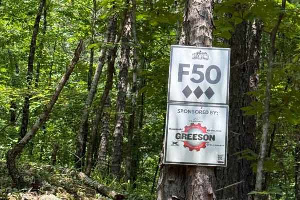
F50
F50 is a fairly easy trail that you can access from highway 1 or from G20. It can be ran either direction. This trail has some mud, loose gravel, and some climbs, but can be done in most stock off road capable vehicles. This is also an access trail for F53, F56, and F54.
Learn more about F50
Beginner ATV trails near Alexander, Arkansas
Explore ATV-friendly trails near you. These trails are accessible for vehicles up to 50 inches wide, perfect for ATVs and smaller off-road machines.
Wildcat Mountain 179
It's called Wildcat for a reason, this road isn't for the faint of hearts. 4low is required in certain sections of this road. Coming from the east side it starts out as an easy gravel road that any regular car could go through but then at mile 1.8, it turns into a 4x4 road only. The road is complete...
Learn more about Wildcat Mountain 179
North Fork Pinnacle Road 132C
I started the trail in 2-wheel drive but not far into the trail, I had to put it in 4L. This is due to the clearance issues and needing to go slow for uneven ground. This trail closes in the summer and is open in the fall and winter. They use the trail during the summer as a hiking trail. Great trai...
Learn more about North Fork Pinnacle Road 132C
Brown Creek Road 805
Brown Creek winds you through the forest with beautiful views, lots of creek crossings, and campsites. This trail will also lead you to the Ouachita National Recreation trail which is a 223-mile trail, there are two entrance points along this route to access this trail. This route could be a basecam...
Learn more about Brown Creek Road 805
Alum Fork Road 114
Alum Fork or Forest Road 114 is an excellent way to navigate through the beautiful Ouachita National Forest without ever having to touch the pavement. It has several dispersed camping areas and winds its way around Lake Winona if you're wanting to catch some fish or get the kayak on the water. Wildl...
Learn more about Alum Fork Road 114
Beginner UTV/side-by-side trails near Alexander, Arkansas
Find UTV and side-by-side trails near you. These trails accommodate vehicles up to 60 inches wide, ideal for UTVs, side-by-sides, and wider off-road rigs.
Wildcat Mountain 179
It's called Wildcat for a reason, this road isn't for the faint of hearts. 4low is required in certain sections of this road. Coming from the east side it starts out as an easy gravel road that any regular car could go through but then at mile 1.8, it turns into a 4x4 road only. The road is complete...
Learn more about Wildcat Mountain 179
North Fork Pinnacle Road 132C
I started the trail in 2-wheel drive but not far into the trail, I had to put it in 4L. This is due to the clearance issues and needing to go slow for uneven ground. This trail closes in the summer and is open in the fall and winter. They use the trail during the summer as a hiking trail. Great trai...
Learn more about North Fork Pinnacle Road 132C
Brown Creek Road 805
Brown Creek winds you through the forest with beautiful views, lots of creek crossings, and campsites. This trail will also lead you to the Ouachita National Recreation trail which is a 223-mile trail, there are two entrance points along this route to access this trail. This route could be a basecam...
Learn more about Brown Creek Road 805
Alum Fork Road 114
Alum Fork or Forest Road 114 is an excellent way to navigate through the beautiful Ouachita National Forest without ever having to touch the pavement. It has several dispersed camping areas and winds its way around Lake Winona if you're wanting to catch some fish or get the kayak on the water. Wildl...
Learn more about Alum Fork Road 114
The onX Offroad Difference
onX Offroad combines trail photos, descriptions, difficulty ratings, width restrictions, seasonality, and more in a user-friendly interface. Available on all devices, with offline access and full compatibility with CarPlay and Android Auto. Discover what you're missing today!
Open Trail Map