
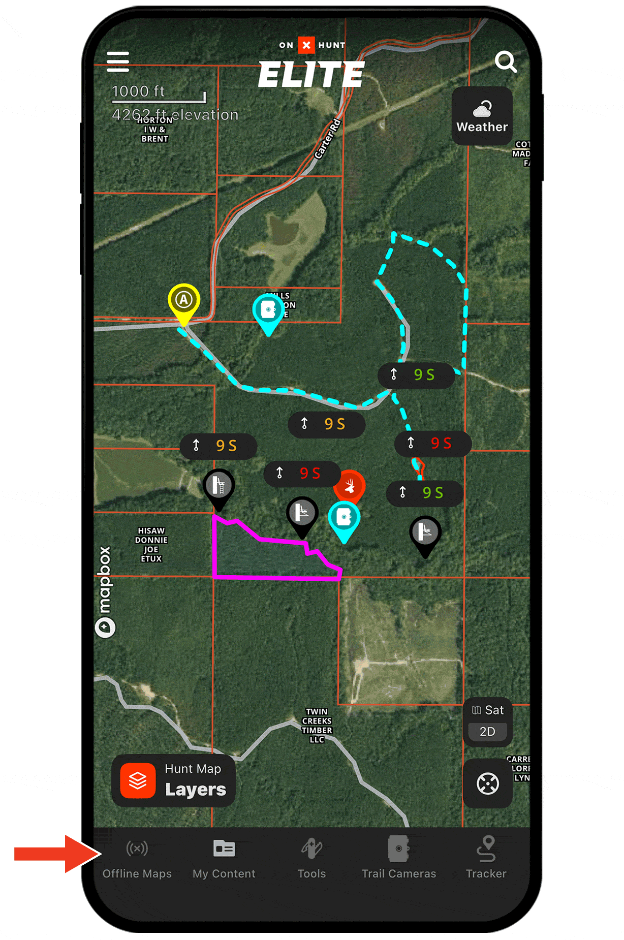
Offline Maps for Whitetail Hunting
Use case examples to help you get the most out of Offline Maps.
See property lines even with spotty coverage.
You can save as many Offline Maps as your phone storage allows, selecting from multiple resolutions to suit your needs. Download maps of where you hunt to avoid trespass issues while being able to access landowner information if that buck you shoot ends up on private land.
Offline Maps Tutorial
Check out the tutorial to learn how to create, download, and sync Offline Maps.
Access essential map information even if you lose service.
Downloading Offline Maps means you never have to go without key insights such as stand locations, efficient routes, and all the areas where you’ve seen deer sign—even offline, you’ll see your Waypoints, Tracks, and other map markups in clear detail.
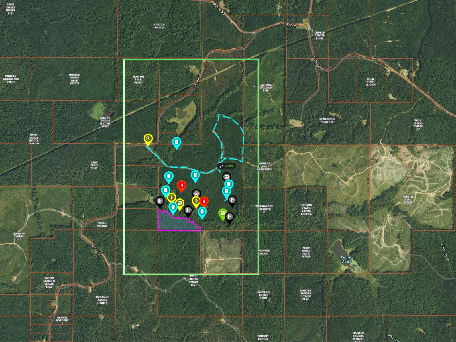
With
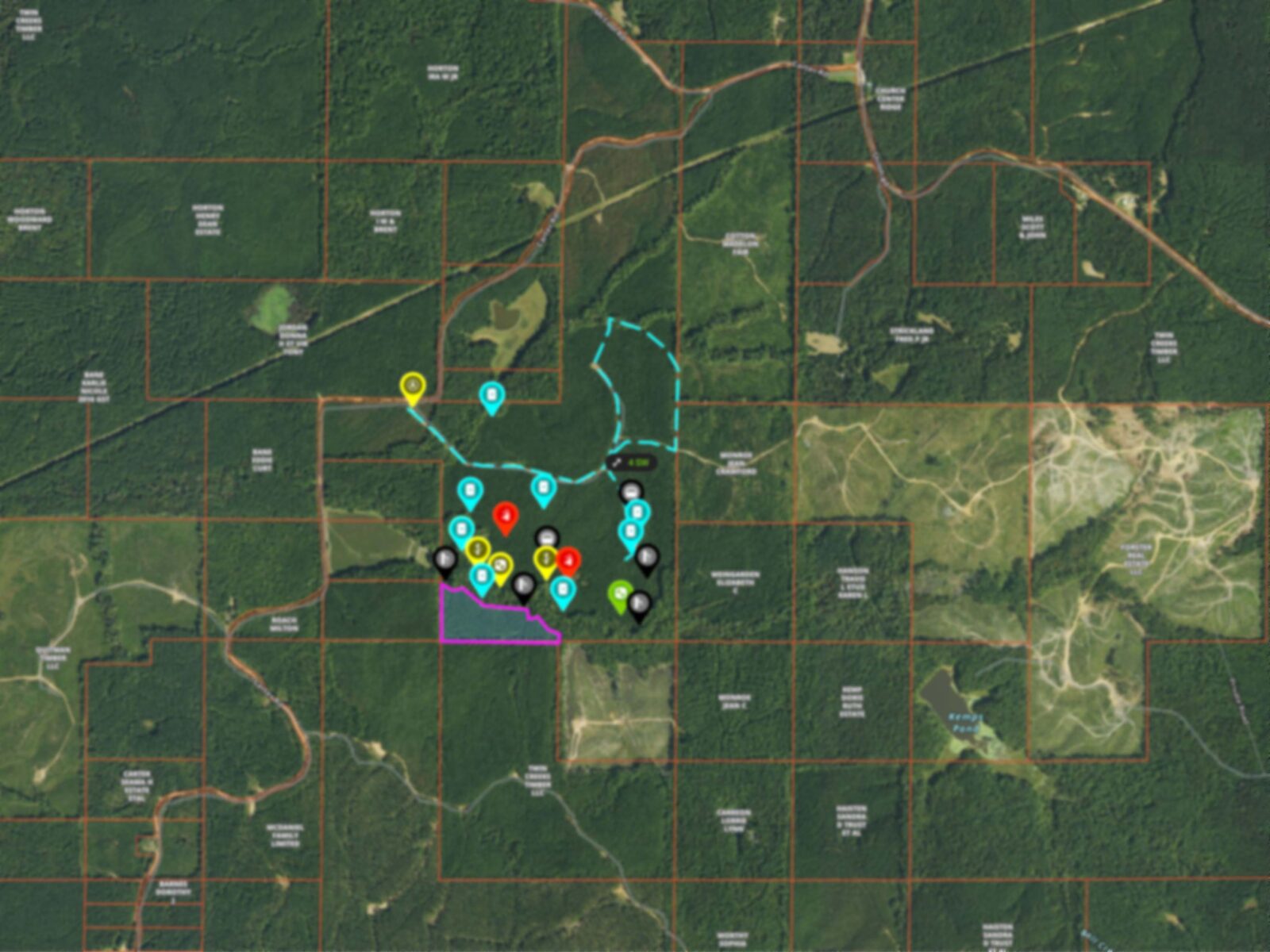
Without
Layer your Offline Maps.
Save storage while ensuring you have the detail you need. Start with a large, low-resolution map for broad coverage, then save smaller, high-resolution maps on top of it for key areas where detail matters most.