Lidar for Whitetail Hunting
Use case examples to help you get the most out of Lidar Maps.
Find bedding areas.
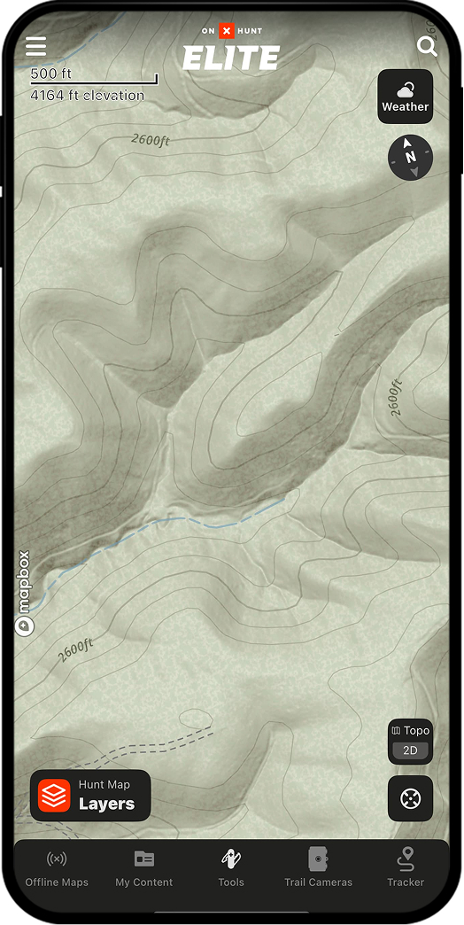
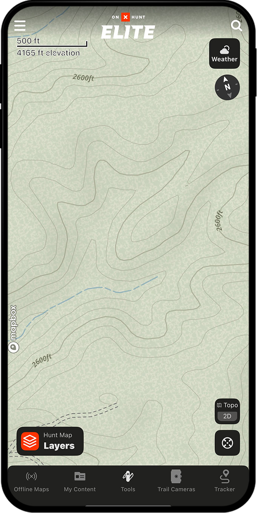
Lidar reveals small features that shape daily deer movement, like subtle benches deer like to use as bedding areas. Often, these features are so faint that 3D Maps and Topo Maps don’t show them. Luckily, Lidar doesn’t miss a thing.
Without Lidar
With Lidar
“Lidar is handy for e-scouting because it provides a more detailed look at the “micro” terrain features that topo lines often miss. An example would be a steep cut-out creek bank. You can switch to the Topo Basemap and see the creek, but can’t tell how steep its banks are. Kick on Lidar, and the steep banks show up—along with bluffs, sharp ridge points, and ditches.”
– Aaron Warbritton, The Hunting Public
Pinpoint thermal hubs.
Bucks love thermal hubs because they swirl air currents in all directions, helping them detect scent. If you can play the thermals right, these hubs are often honey holes. Lidar makes it obvious where they are.
Without Lidar
With Lidar