
Lidar for Upland Bird Hunting
Use case examples to help you get the most out of Lidar Maps.
Find overgrown two-tracks.
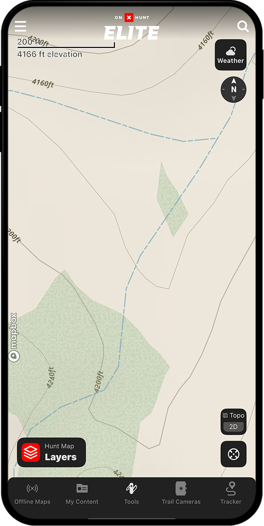
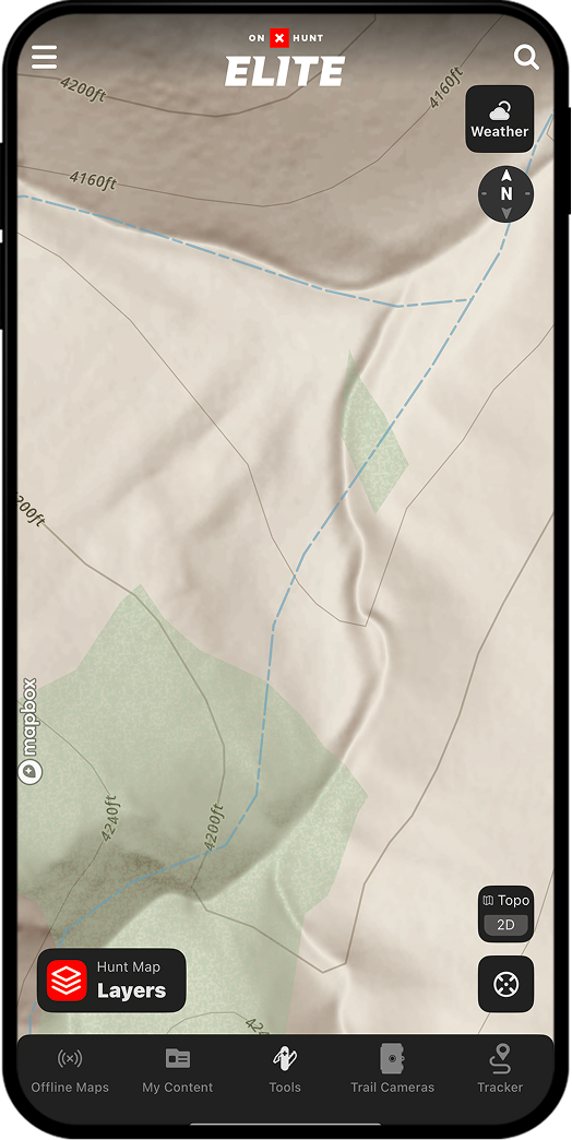
Use Lidar Maps to find old, overgrown logging roads. These forgotten spots, not visible via 3D or Topo Maps, provide birds with nice edge habitat—and may provide you with low-pressure opportunities.
Without Lidar
With Lidar
Pinpoint rock outcroppings.
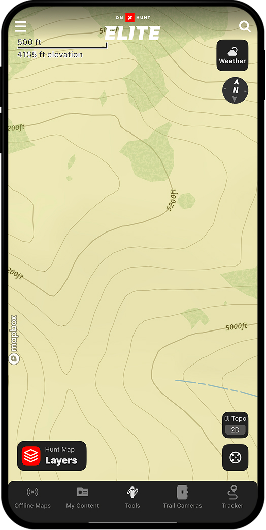
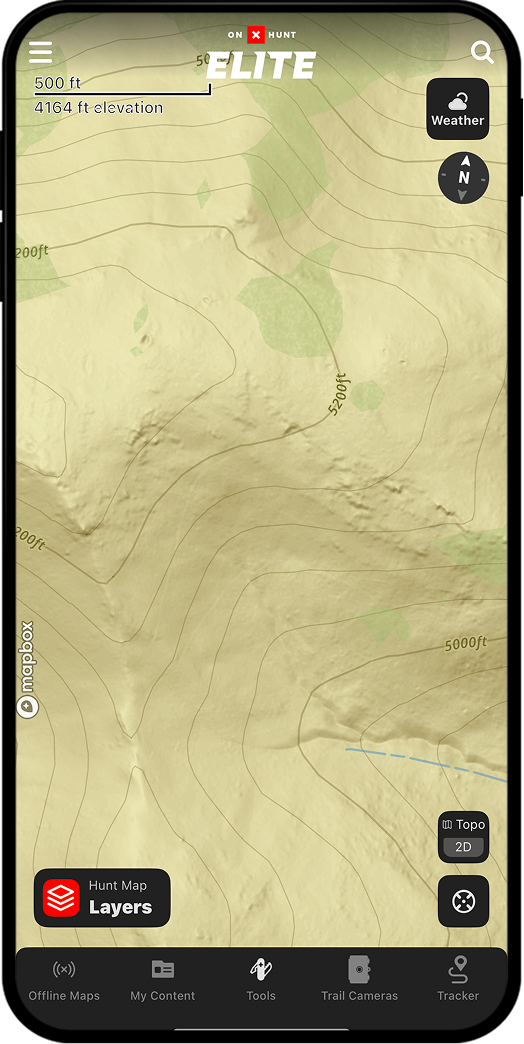
Rock outcroppings frequently form natural transitions between open grasslands and denser vegetation or between elevation bands—classic edge habitat. Birds thrive in these transition zones because they offer cover and forage in close proximity. Lidar Maps reveal ground texture that Topo and 3D Maps can’t detect.
Without Lidar
With Lidar
Unlock Lidar Today
Lidar is available to Elite Members.