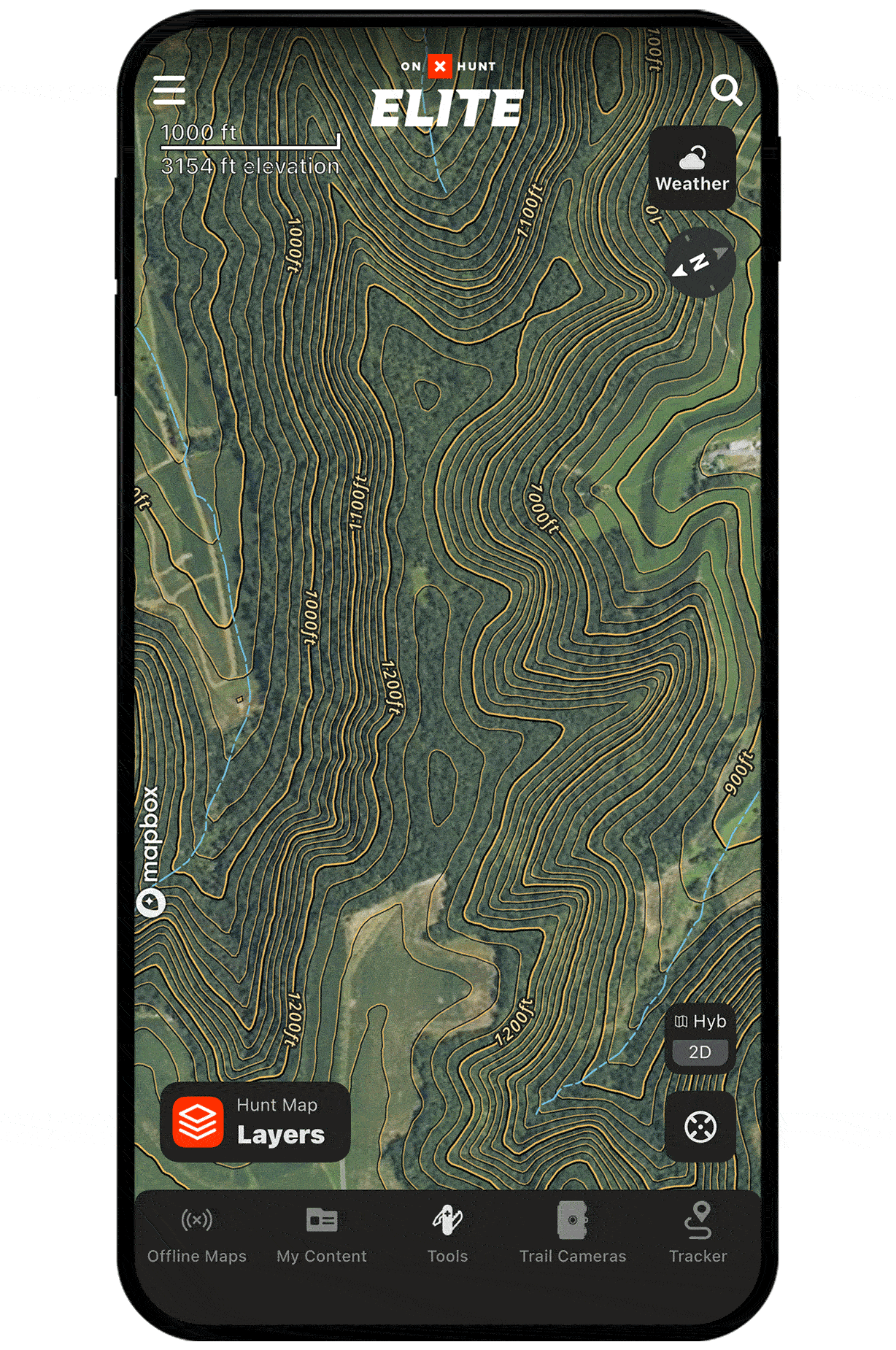
3D Maps for Whitetail Hunting
Use case examples to help you get the most out of 3D Maps and 3D Exaggeration.
Find cruising bucks during the rut.
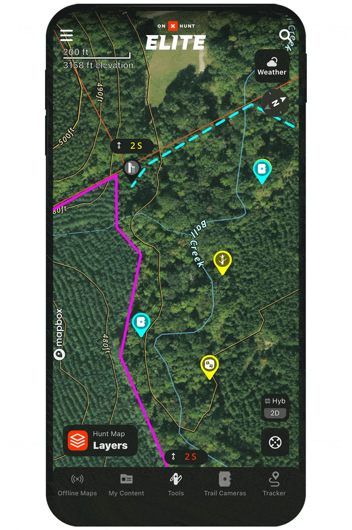
Use 3D Maps to identify long, continuous ridges that connect multiple bedding areas. Bucks often cruise these ridges during the rut, looking for hot does. The longer the ridge, the more a buck has to move, which equals more opportunity for you.
Find subtle terrain changes.
3D Exaggeration helps you identify the slightest variations in terrain. Be it a creek bottom flanked by slight elevation on both sides or a small ditch that runs through an ag field, find these subtle terrain features that naturally concentrate deer movement and create high-odds stand locations.
Unlock 3D Maps
Purchase a Premium or Elite Membership for full access.