3D Maps for Upland Bird Hunting
Use case examples to help you get the most out of 3D Maps and 3D Exaggeration.
Plan your route for the day.
Use 3D Maps to map out a walking loop that takes advantage of the terrain’s natural flow. Visualize drainages, ridgelines, and access points, so you can prioritize which areas to hit and cover ground methodically without backtracking or overworking your dog.
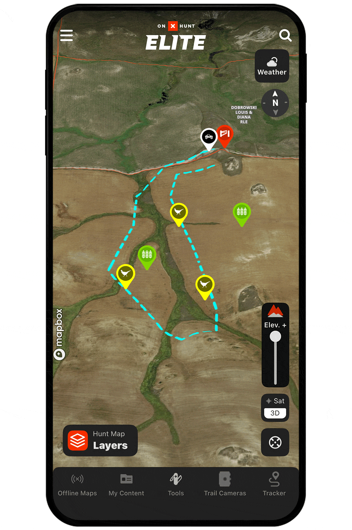
Find more consistent flushes.
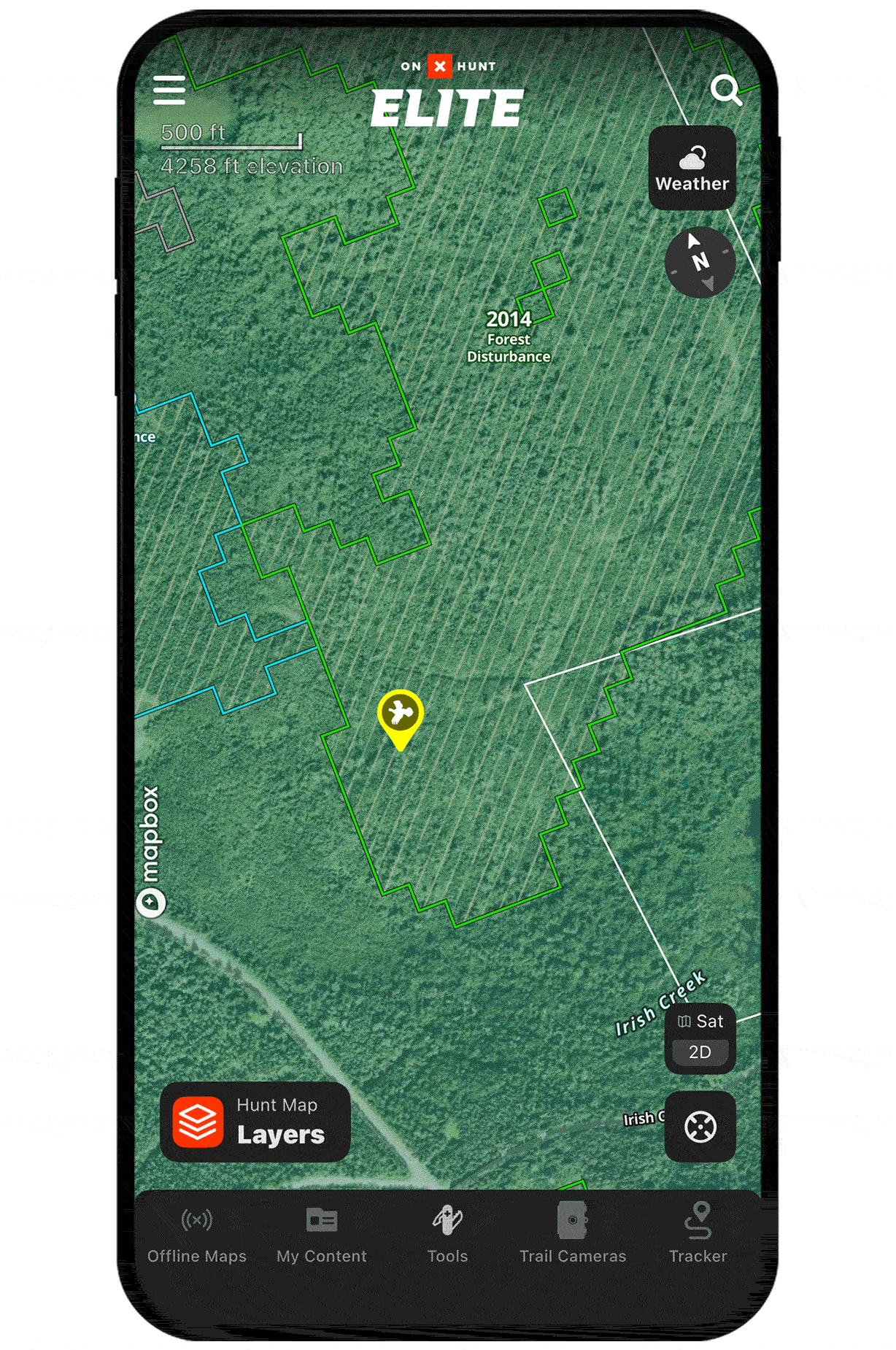
3D Exaggeration helps you pick out rolling hills that create natural edge habitat, key for finding pheasants, quail, and grouse. These topographic edges can concentrate birds and offer more consistent flushes.
Unlock 3D Maps
Purchase a Premium or Elite Membership for full access.