3D Maps for Western Big Game
Use case examples to help you get the most out of 3D Maps and 3D Exaggeration.
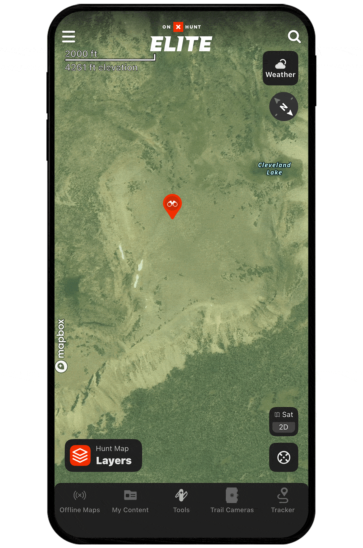
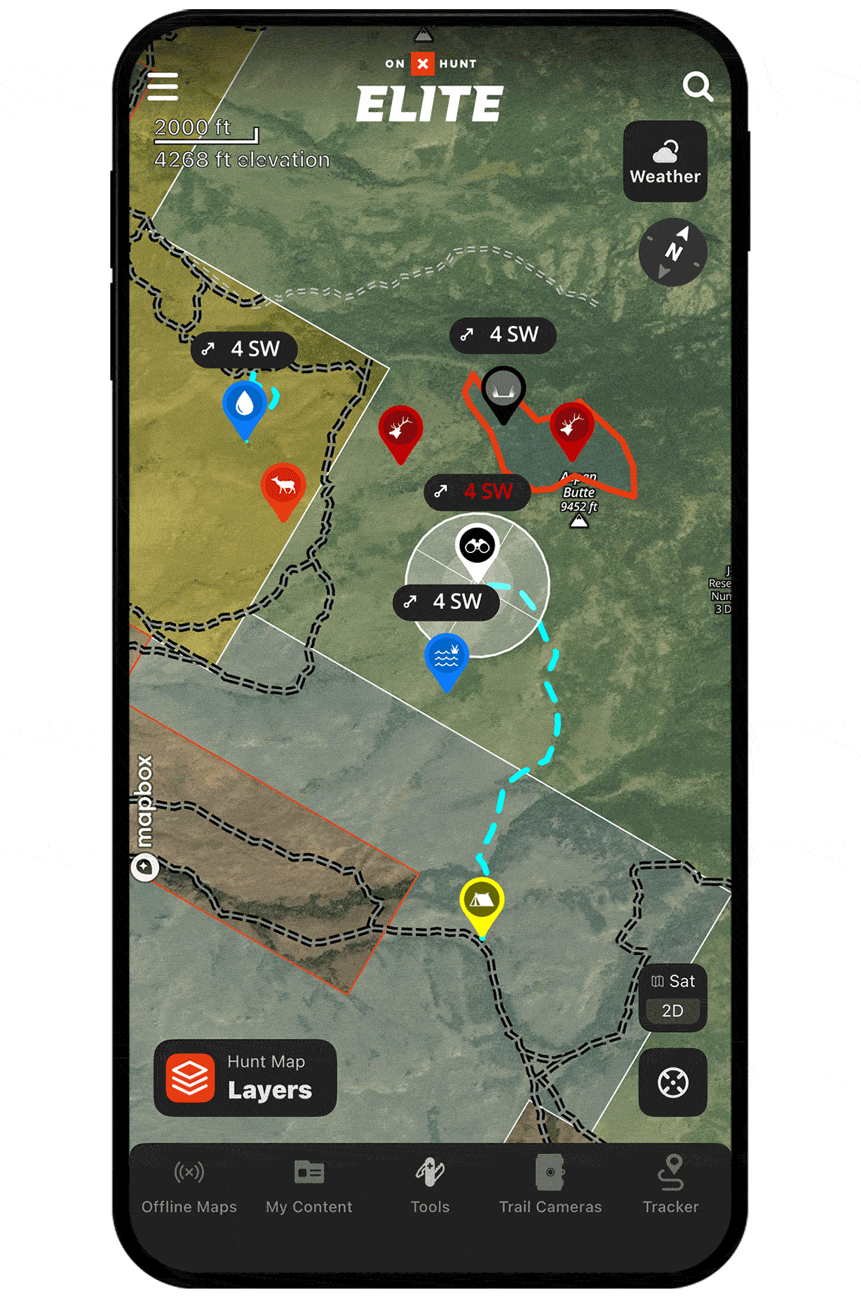
Pinpoint glassing points.
Use 3D Maps to identify knobs, ridgelines, and rises with good lines of sight into basins and meadows. With 3D Maps, you can fly over terrain as if you’re there, giving you a sense of what you can expect to see from any given angle.
Plan better routes.
Your energy is precious in the backcountry. Use 3D Maps (and 3D Exaggeration in flatter areas) to avoid cuts, gullies, and breaks that can make your pack-in and pack-out paths more arduous than needed.
Or, use 3D to key in on subtle rises you can use to your advantage when slipping into range.
Unlock 3D Maps
Purchase a Premium or Elite Membership for full access.