
Ready to explore this trail?
View Trail Map in AppRegional Classic
A must do route for the area handpicked by local experts.
No permit is required. CFI trail crews have been rebuilding sections of this route since 2025 — yield to workers if you encounter them.
From the Lower Willow Creek Trailhead, the road continues to an upper trailhead area only accessible by high clearance, 4WD vehicles.
Path Type
There and Back
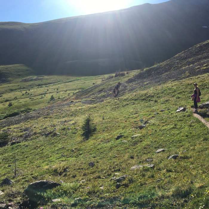
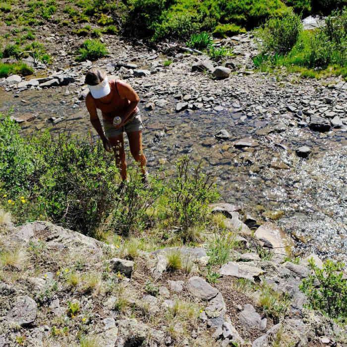
The trail described here begins at the Lower West Willow Creek Trailhead. For those with 4WD, the road continues from here for 1.5 miles to an upper trailhead that is the true starting point. From here (11,500'), start north on the marked trail at the sharp corner of the road. Turn northeast, cross a couple of small streams, and climb toward a rocky point; a short distance up, leave the main trail and stay right on an old road, continuing northeast out of the trees. At 12,350', reach the ridge crest on the point's right side, where the old road ends. Walk left a short distance to a faint trail dropping north off the ridge; follow it down 100 feet to the Continental Divide Trail, also the Colorado Trail.
Turn right onto the CDT, drop 250 feet, and cross through a dead spruce forest into upper Spring Creek basin. Near 12,100', about halfway to the summit, pass a sign for Bondholder Meadows; turn left toward a saddle on the south ridge of Point 12,562'. Cross the saddle and continue east into another basin toward Unnamed 13,155', climbing the basin's east side to the broad, 12,600' saddle between San Luis Peak and Unnamed 13,155'.
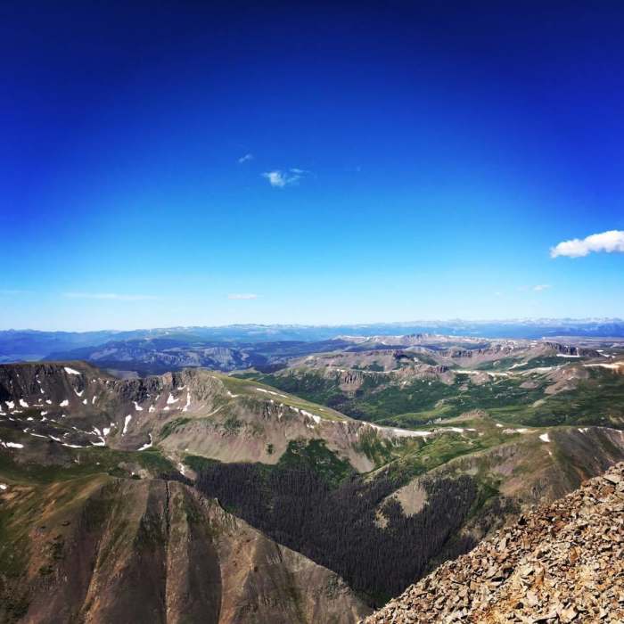
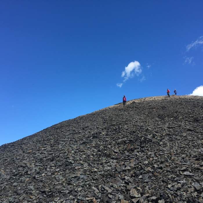
Leave the CDT here and turn left (north) onto San Luis Peak's south ridge trail. Hike northeast and east as the trail swings to the ridge's east side before regaining the crest near 13,100'. Follow the well-cairned trail up the ridge to the 14,023' summit.
Retrace the route to the trailhead.
No Condition Reports
San Luis Peak Loop from West Willow Trailhead
San Luis Peak Loop from West Willow Trailhead
Continental Divide Trail: Colorado Section 13
Continental Divide Trail: Colorado Section 13
Phoenix Falls Hike
Phoenix Falls Hike
Miner's Creek Trail
Miner's Creek Trail
San Luis Peak: Northeast Ridge Route
San Luis Peak: Northeast Ridge Route
Skyline Trail #465
Skyline Trail #465
Contributors

