
Ready to explore this trail?
View Trail Map in AppRegional Classic
A must do route for the area handpicked by local experts.
No permit is required. The access road crosses two creeks on concrete slabs that still require a good-clearance vehicle, and trailhead parking is very limited.
Path Type
There and Back
From the Stewart Creek trailhead (10,500'), follow the well-maintained trail alongside Stewart Creek into the forest. After 2 miles, pass the faint remnants of an old log cabin on the left, then continue past beaver ponds and dead spruce as the trail climbs into upper Stewart Creek. Near 3 miles, the trail weaves through willows and can be harder to follow in spring or after recent treefall. Around 4.25 miles, at 12,000', the terrain opens near treeline; continue southwest into the upper basin.
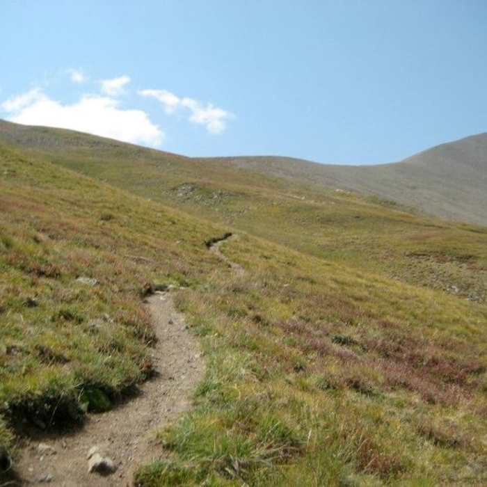
Near 12,300', turn south, descend to the creek, cross it, and hike through more willows to the base of the broad slope below the saddle between Organ Mountain and San Luis Peak. Climb roughly 800 vertical feet over 0.8 mile on a well-built, switchbacked trail to the 13,100' saddle.
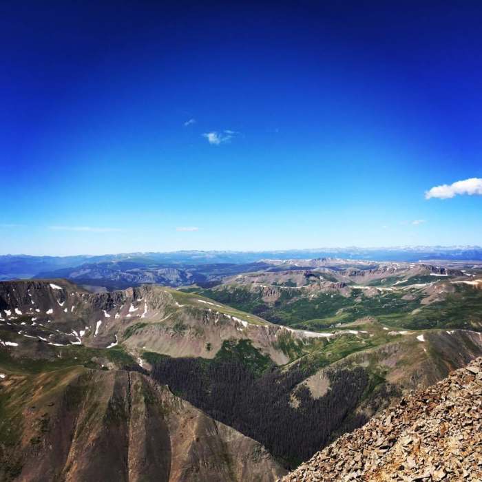
Cross the saddle to the south side of a large point on San Luis Peak's northeast ridge, then traverse west toward the ridge crest. Near 13,750', gain the ridge and cross to its west side, then follow the trail back to the crest and on to the 14,023' summit.
Retrace the route to the trailhead.
Unsurprisingly, this remote summit has little history and is but a blip on the radar for all but ardent 14er summit collectors. With the Colorado Trail just a little over a mile south of the summit, the peak is likely passed by dozens of through-hikers and mountain bikers who give it little thought.
No Condition Reports
Skyline Trail #465
Skyline Trail #465
Eddiesville Loop
Eddiesville Loop
Continental Divide Trail: Colorado Section 14
Continental Divide Trail: Colorado Section 14
Continental Divide Trail: Colorado Section 13
Continental Divide Trail: Colorado Section 13
San Luis Peak: South Ridge Route
San Luis Peak: South Ridge Route
San Luis Peak Loop from West Willow Trailhead
San Luis Peak Loop from West Willow Trailhead
Contributors

