Ready to explore this trail?
View Trail Map in AppPath Type
Point to Point
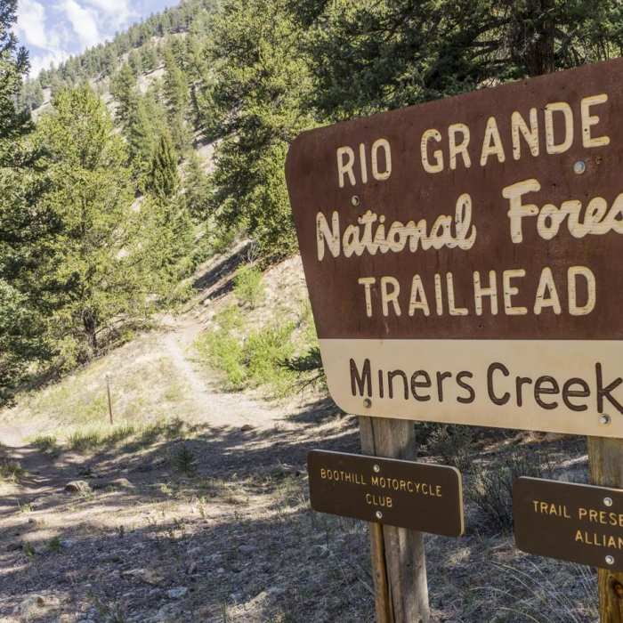
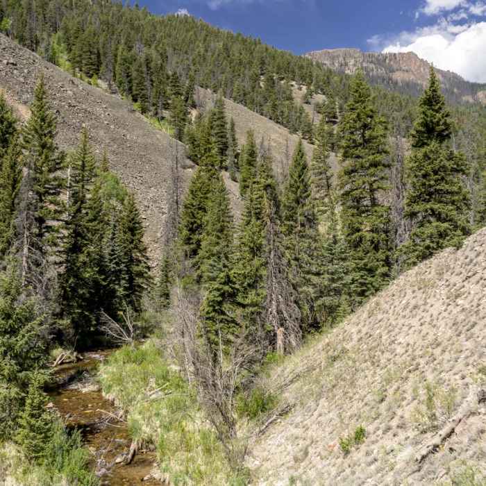
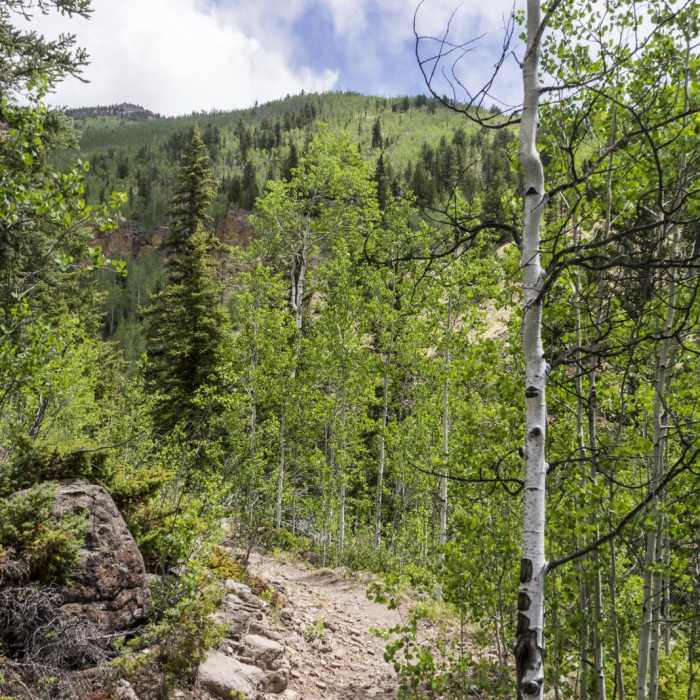
Miner's Creek Trail (Trail 803) is a scenic, multi-use trail in the Rio Grande National Forest near Creede, Colorado. Spanning approximately 8.7 miles, this point-to-point route descends through a lush, forested canyon, starting near the Continental Divide at an elevation of 12,340 feet and terminating at the Miner's Creek Trailhead at 9,020 feet.
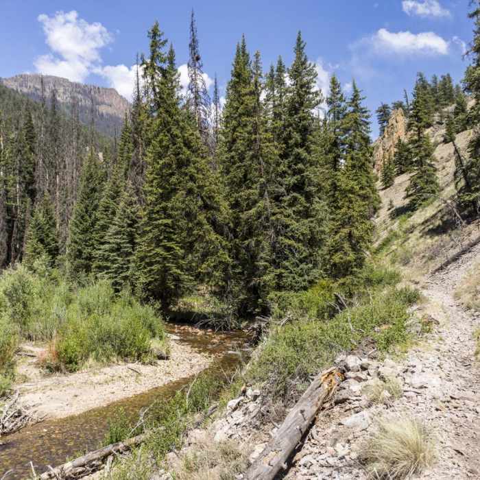
The trail runs parallel to Miner's Creek, providing scenic mountain views and the constant sound of rushing water. The pathway winds through deep evergreen forests and extensive groves of aspen, making it an exceptionally popular route for autumn foliage viewing.
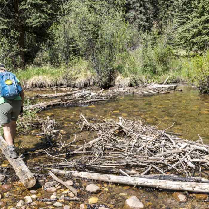
Hikers, backpackers, and mountain bikers should prepare for multiple creek crossings along the route. These stream crossings can become deep, swift, and potentially impassable during the peak of late spring and early summer snowmelt.
No Condition Reports
Phoenix Falls Hike
Phoenix Falls Hike
San Luis Peak: South Ridge Route
San Luis Peak: South Ridge Route
San Luis Peak Loop from West Willow Trailhead
San Luis Peak Loop from West Willow Trailhead
Continental Divide Trail: Colorado Section 13
Continental Divide Trail: Colorado Section 13
Continental Divide Trail: Colorado Section 12
Continental Divide Trail: Colorado Section 12
Continental Divide Trail: Spring Creek Pass to Snow Mesa
Continental Divide Trail: Spring Creek Pass to Snow Mesa
Contributors

