Ready to explore this trail?
View Trail Map in AppPath Type
Point to Point
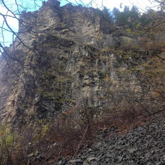
From the parking area, take the short portion of dirt road to the actual trailhead, which is marked by a series of large boulders (to block the access of vehicles) in a line. The trail starts to the right end of these boulders and ascends gradually through a small forest in a narrow canyon. Throughout the first mile and a half the trail crosses a (usually dry) stream several times and passes through small meadows and below tall, impressive cliffs. The trail can be somewhat rocky in places due to the geology of this small canyon, but never gets very technical and is always fun. In the fall, the colors can be spectacular and the red-orange leaves cover the trail and the surrounding forest floor.
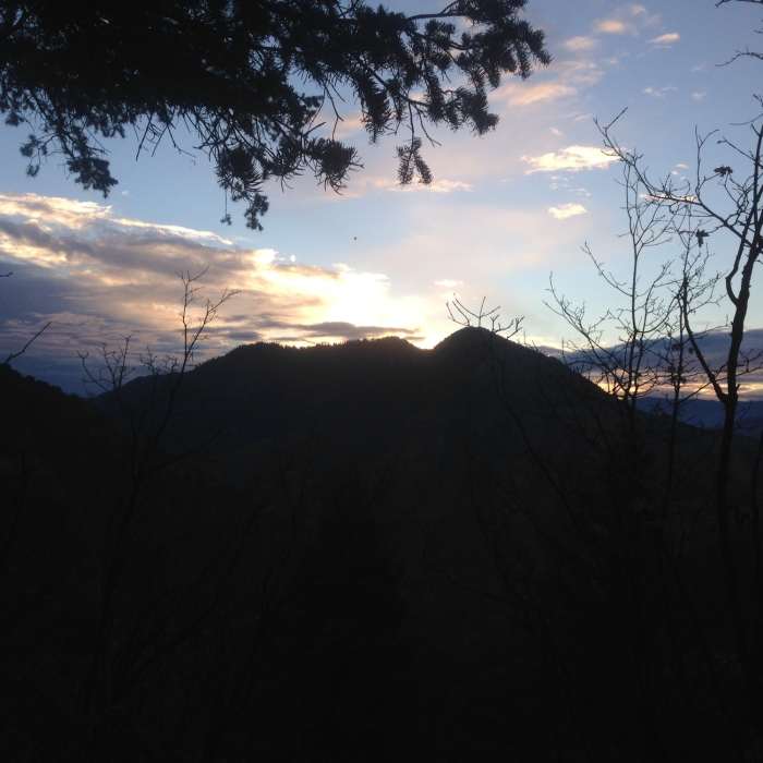
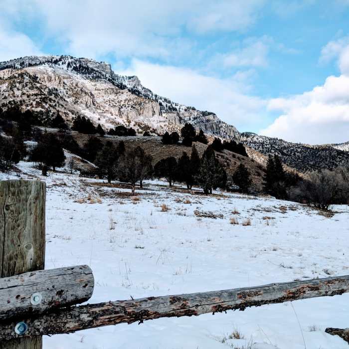
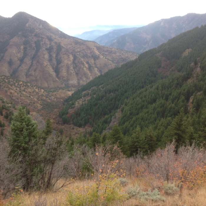
After the first mile and a half, the trail reaches a small clearing with a sign that says "Leatham Hollow Spring" and not long after this the trail makes an abrupt backward turn to start up some long switchbacks to get to the junction with the Millville Canyon road. Along these switchbacks, the trail passes through several kinds zones of scenery as it crosses several drainages. Along this long switchback you can see pine forests, tall grasses and scrub oak, small rocky crags. Sometimes you get an opening in the forest and amazing views of the cliffs that line the upper portion of Leatham Hollow, as well as the Mahogany Range to the southeast. From some portions you can even see the Left Hand Fork of the Blacksmith Fork River, as well as the parking area, almost 2,000 feet below.
Eventually the trail hits the end of the long switchback, and then turns back towards Millville Canyon, and after the last long ascent it finally breaks out into a large sagebrush meadow and finally hits the Millville Canyon Road, where there is a sign (facing the opposite direction) that says "Leatham Hollow."
No Condition Reports
Contributors

