Near Wildhorse Peak Trail #1W02
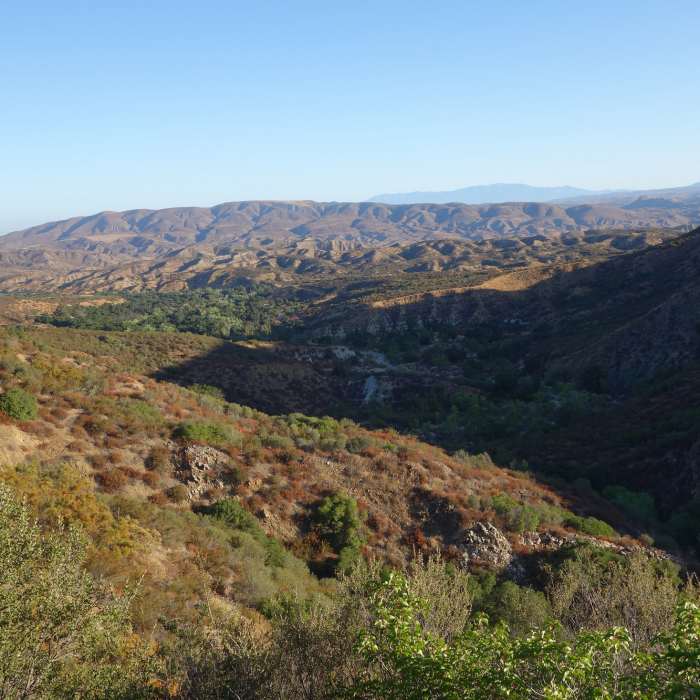
View north from the Wild Horse Trail
Near Wildhorse Peak Trail #1W02
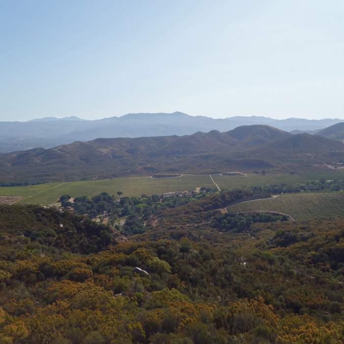
Vineyard to the east of the Wild Horse Trail
Near Wildhorse Peak Trail #1W02
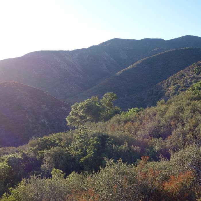
Early light on the Wild Horse Trail

Looking for more photos?

View All Photos
Driving Directions
Hike Trail

Wildhorse Peak Trail #1W02

4.0 (4 Ratings)
9.7
mi
Distance
2,975
ft
Gain
moderate
Difficulty
River/CreekViewsWildflowers

Route Details

Flatter
Steeper
9.66mi
Distance
2,975ft
Elevation Gain
712ft
Elevation Loss
65%
Max Grade
3,937ft
High Point
1,674ft
Low Point
Path Type
Point to Point
Description
This moderate trail starts with a crossing of a rocky stream a few yards wide (in early spring). The first 0.8 miles is mostly uphill on a narrow, curving switchback trail. There is shade about 75% of the time, and frequent boulders to sit on. A lot of interesting rocks: layered, sparkly, etc.; and wildflowers along the way. You'll also enjoy a panoramic view of the valley. After about 0.8 miles from the trailhead, the trail heads downhill. Parking is about 0.3 miles from the trailhead, with paid campsites being closer.

Route Conditions

Report Conditions
No Condition Reports
Report Conditions

Nearby Hike Routes

Boucher Hill Loop

Hike Route

Boucher Hill Loop

Views
moderate
3.28 mi
+783 ft
Silvercrest Trail

Hike Route

Silvercrest Trail

Wildflowers
easy
1.45 mi
+226 ft
Hellhole Canyon Preserve

Hike Route

Hellhole Canyon Preserve

Birding
strenuous
8.17 mi
+1,995 ft
Horse Thief Loop + Historic Flume Trail

Hike Route

Horse Thief Loop + Historic Flume Trail

Wildflowers
easy
3.85 mi
+535 ft
Wildflower Trail

Hike Route

Wildflower Trail

Views
easy
1.72 mi
+231 ft
Santa Rosa Plateau Boundary

Hike Route

Santa Rosa Plateau Boundary

Birding
moderate
7.55 mi
+663 ft
Contributors
Shelli Berwick
