Ready to explore this trail?
View Trail Map in AppPath Type
Point to Point
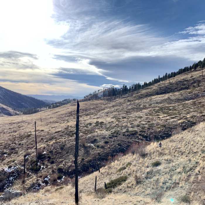
This trail begins about six miles west of the small town of Nelson and near the Missouri River. I have not seen the first 4.6 miles of this trail, but it climbs slowly along the bottom of the gulch in drier terrain with some older burn areas.
The rest of the trail is what gives it the 4 stars--it heads through unburned areas that parallel the spring-fed creek and through several mountain meadows with tons of wildflowers (in late May I counted 36 different wildflower varieties). The trail tops out at a saddle with great views into Meriwether Canyon (from here you can turn around, continue into Meriwether Canyon, or head towards Refrigerator Canyon).
The upper trail is in good shape with no difficult stream crossings. I'm not sure if the springs that feed the creek in Big Log Gulch supply water all year round (it was running at 3 to 4 cubic feet/second in late May), so be prepared with plenty of water, particularly if you go later in the summer.
No Condition Reports
Contributors

