Near Mt. Columbia - West Slopes
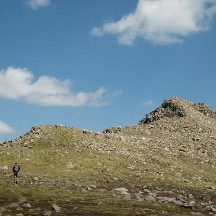
Approaching the summit of Mt. Columbia.
Near Mt. Columbia - West Slopes
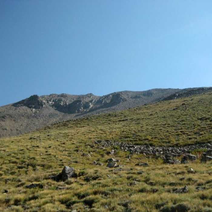
The grassy slopes up Columbia.
Near Mt. Columbia - West Slopes
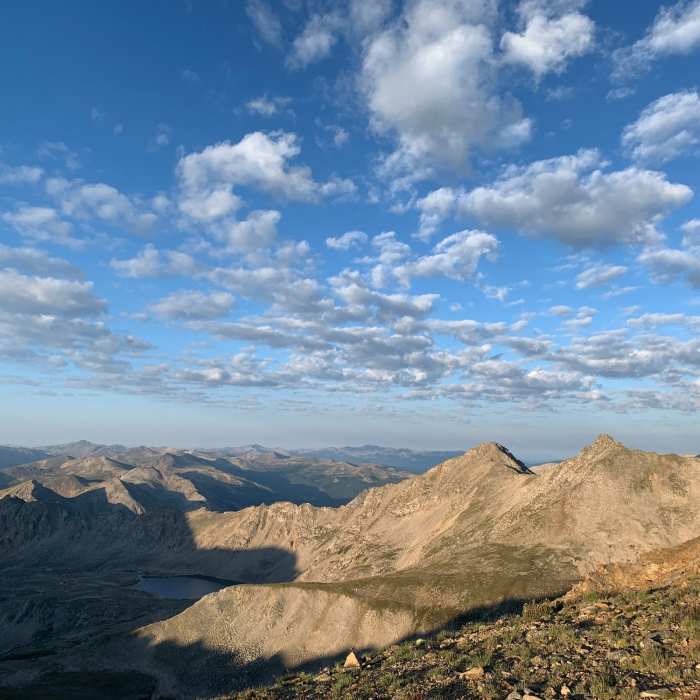
Near Columbia summit views.
Near Mt. Columbia - West Slopes
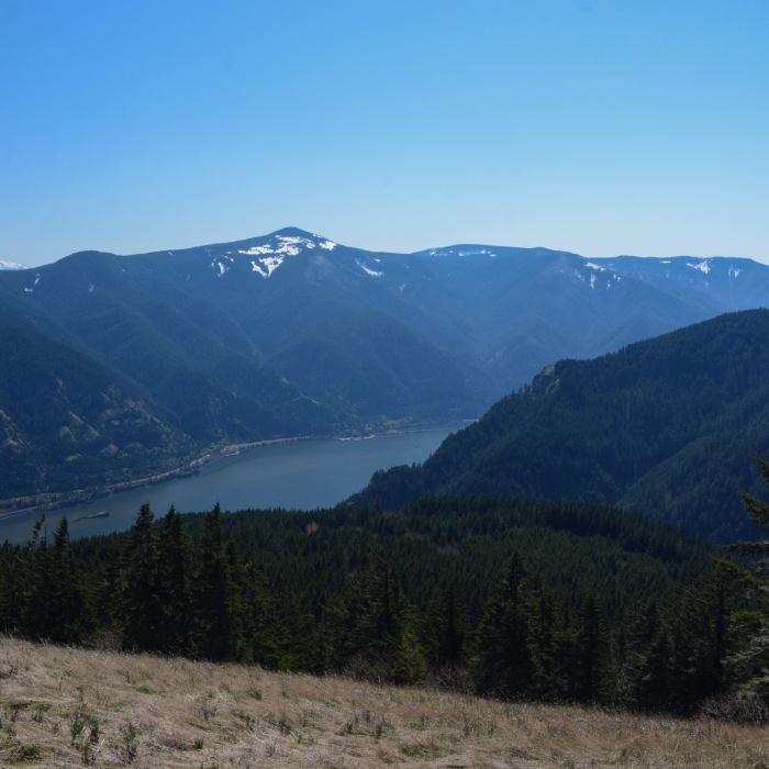
Mount Hood, Mount Defiance, The Columbia River, and Dog Mountain from the summit of Cook Hill.

Looking for more photos?

View All Photos
View Map
Driving Directions
Classic Hike Route
Buy Now View in 3D

Mt. Columbia - West Slopes

3.2 (9 Ratings)
The most popular route up Mount Columbia – a steep climb from Horn Fork Basin up one of the Sawatch's scrappier west faces. Columbia has a reputation for scree and rockfall that this route doesn't sugarcoat. A 11.6-mile out-and-back, gaining 4,230 feet of elevation to reach the 14,070-foot summit.
11.6
mi
Distance
4,230
ft
Gain
extreme
Difficulty
Regional Classic
A must do route for the area handpicked by local experts.
Dogs AllowedViewsWildflowersWildlife
Access Issues
The Cottonwood Creek Trailhead is generally closed for winter several miles below the start of the Horn Fork Basin Trail. No permit is required. Trailhead parking is limited to about 25 vehicles, shared with Mount Harvard traffic, and fills before sunrise on weekends.

Route Details

Flatter
Steeper
11.56mi
Distance
4,230ft
Elevation Gain
4,230ft
Elevation Loss
50%
Max Grade
14,070ft
High Point
9,883ft
Low Point
Path Type
There and Back
Description
From the N. Cottonwood Creek trailhead (9,900'), follow the trail downhill to a bridge crossing, then continue 1.4 miles to a second bridge. Just past it, reach a junction and stay right for Horn Fork Basin. Continue 1.75 miles to a small clearing at 11,250', where Columbia's southwest shoulder comes into view, then 0.3 mile farther to the Columbia trail junction. Turn right for Mt. Columbia. Hike a short distance through forest to a junction and turn right, continuing through more forest to a small clearing. Cross it, head southeast, and exit the trees at the base of a wide gully on Columbia's southwest side. Follow the defined trail up through talus, then swing southeast to gain a shoulder. From the shoulder, follow the trail as it traverses east, then north, switchbacking up the shoulder. Near 13,300' the terrain steepens and the trail turns more rugged and less defined; zigzag carefully through the rocks until the ground levels slightly at 13,500', then follow the trail to the ridge at 13,680'. The summit is still a half mile off. Hike north along the ridge, navigating rock bumps, until the summit comes into view again near 13,800' across a flat section. Continue along the ridge, pass between two rock piles, and gain the 14,073' summit. Retrace the route to the trailhead.

Route Conditions

Report Conditions
No Condition Reports
Report Conditions

Nearby Hike Routes

Kroenke Lake

Classic Hike Route

Kroenke Lake

Commonly Backpacked
moderate
8.26 mi
+1,643 ft
Mt. Columbia and Mt. Harvard Loop

Hike Route

Mt. Columbia and Mt. Harvard Loop

Dogs Allowed
extreme
14.63 mi
+5,916 ft
Mt. Harvard - South Slopes

Classic Hike Route

Mt. Harvard - South Slopes

Dogs Allowed
extreme
12.78 mi
+4,532 ft
Bear Lake and Horn Fork Basin

Hike Route

Bear Lake and Horn Fork Basin

Fall Colors
strenuous
10.69 mi
+2,550 ft
Colorado Trail: Segment 13

Hike Route

Colorado Trail: Segment 13

Views
extreme
21.89 mi
+4,299 ft
Mount Yale from Denny Creek Trailhead

Classic Hike Route

Mount Yale from Denny Creek Trailhead

Dogs Allowed
strenuous
8.51 mi
+4,313 ft
Contributors
onX Maps, Inc
