


Ready to explore this trail?
View Trail Map in AppNo permit is required. This is a demanding, largely trail-less traverse with a real history of Search and Rescue calls — turn back at the first sign of bad weather.
The Cottonwood Creek Trailhead is generally closed for winter several miles below the start of the Horn Fork Basin Trail.
Path Type
Loop
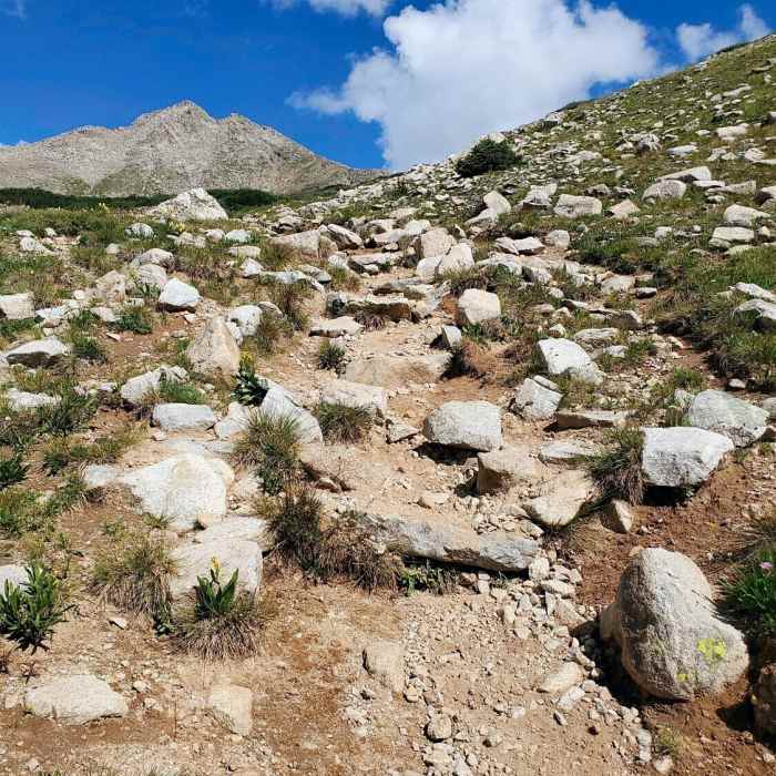
From the N. Cottonwood Creek trailhead (9,900'), follow the trail through two bridge crossings (1.4 miles) into Horn Fork Basin, staying left at the Columbia junction near treeline (11,500'). Continue north through the basin, crossing willows and a stream, then climb past 12,000' to the Bear Lake junction. Ascend a CFI-built talus section to a 13,000' shoulder, cross the upper basin, and climb cairned trail below Harvard's south ridge. At the ridge, turn right and hike north to a tricky Class 2+ final pitch, gaining the 14,421' summit.
Allow a couple hours for the traverse; don't start in deteriorating weather. Hike east along Harvard's ridge through a notch, past a rocky point, and descend toward a rock formation near 14,100'; pass it right onto a faint talus trail. Descend toward Point 13,516', where the trail vanishes into talus; cross to its east ridge, then descend it below the harder ridge crest. Below 12,800', leave the ridge and contour southwest across talus — the route's most tedious stretch — then turn south through more talus. Near 13,000', terrain eases; pass right of Point 13,497' and climb grass to the ridge below Columbia's saddle.
Near 13,400', turn left toward the summit; near 13,900', climb about 100 feet of steeper rock to Columbia's 14,073' summit. Descend via the West Slopes route — down the ridge and rock piles, off the ridge near 13,680', down loosening talus to the 13,300' shoulder, through the gully and forest — back to Horn Fork Basin and the trailhead.
Mt. Harvard is the third highest peak in the state. Sometime during the 1960s a trio of Harvard men, in a sophomoric Ivy League attempt to bolster the status of their alma mater's mountain, erected a flagpole with a high point of 14,434 ft - making the top of Mt. Harvard the highest in the state. Though they escaped electrocution, their efforts were nullified in the 1980s, when the pole was taken down by hikers trying to clean up the 14ers. Unfortunately, Harvard alums may still be found hiking them.
No Condition Reports
Contributors

