Near Mt. Harvard - South Slopes
Excellent views of Princeton, Yale, and Bear Lake from Harvard's summit. Much of the trail is visible in the lower left
Near Mt. Harvard - South Slopes
A couple hundred feet below the summit of Mt. Harvard.
Near Mt. Harvard - South Slopes
Approaching the final ascent to Harvard. Up ahead you see the class 2 climb.
Near Mt. Harvard - South Slopes
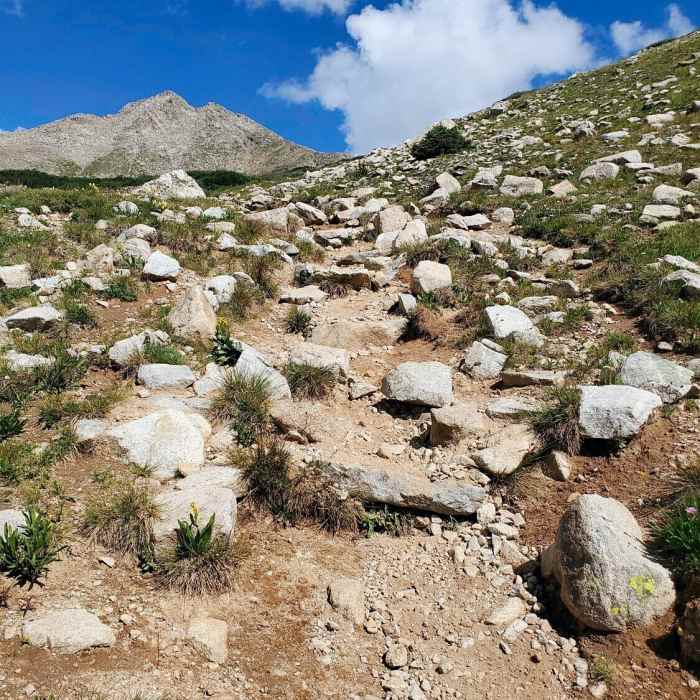
When the trail starts getting a little more rugged.
Near Mt. Harvard - South Slopes
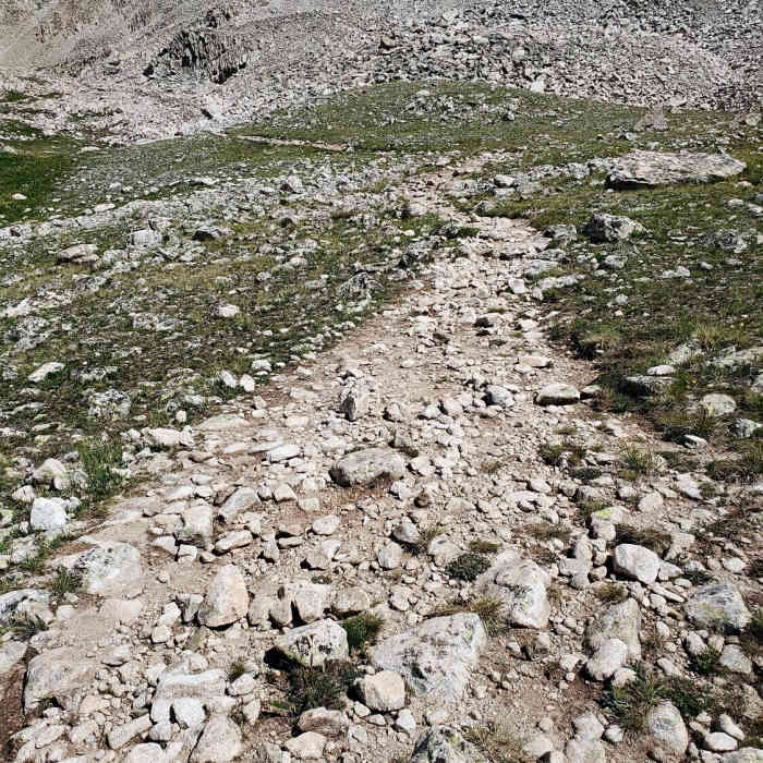
Some trail getting closer to Harvard.

Looking for more photos?

View All Photos
View Map
Driving Directions
Classic Hike Route
Buy Now View in 3D

Mt. Harvard - South Slopes

4.4 (10 Ratings)
A long, scenic approach through Horn Fork Basin to Mount Harvard, Colorado's third-highest summit, capped by a tricky, cairned finish.
12.8
mi
Distance
4,532
ft
Gain
extreme
Difficulty
Regional Classic
A must do route for the area handpicked by local experts.
Dogs AllowedRiver/CreekViewsWaterfallWildflowersWildlife
Access Issues
The Cottonwood Creek Trailhead is generally closed for winter several miles below the start of the Horn Fork Basin Trail. No permit is required. Trailhead parking is limited to about 25 vehicles and fills before sunrise on summer weekends.

Route Details

Flatter
Steeper
12.78mi
Distance
4,532ft
Elevation Gain
4,532ft
Elevation Loss
50%
Max Grade
14,415ft
High Point
9,883ft
Low Point
Path Type
There and Back
Description
From the N. Cottonwood Creek trailhead (9,900'), follow the trail downhill to a bridge crossing, then continue 1.4 miles to a second bridge. Just past it, reach a junction and stay right for Horn Fork Basin. Continue nearly 2 miles, staying left at the junction for Mt. Columbia, and climb to treeline at 11,500', where Harvard comes into view; this area has many dispersed campsites. Head east, then north into Horn Fork Basin. Weave through willows and cross a stream near the basin's north end. Above 12,000' the trail steepens; continue to the Bear Lake trail junction, stay right, and climb to a flat area near 12,500'. Ascend a rugged talus section on trail built by the Colorado Fourteeners Initiative to gain a shoulder at 13,000', where the rest of the route comes into view. Cross the upper basin and climb the slope below Harvard's south ridge, following cairns and rock steps on a fairly well-defined trail, switchbacking carefully up to the ridge. At the ridge, turn right and hike north along its right side toward the summit. The final pitch is the crux of the route: the rock is mostly stable, and there's a way to keep the difficulty at a hard Class 2, though it isn't obvious. Choose your line carefully to reach the 14,421' summit. Turn around and follow your ascent trail back down.

Route Conditions

Report Conditions
No Condition Reports
Report Conditions

Nearby Hike Routes

Kroenke Lake

Classic Hike Route

Kroenke Lake

Commonly Backpacked
moderate
8.26 mi
+1,643 ft
Mt. Columbia and Mt. Harvard Loop

Hike Route

Mt. Columbia and Mt. Harvard Loop

Dogs Allowed
extreme
14.63 mi
+5,916 ft
Mt. Columbia - West Slopes

Classic Hike Route

Mt. Columbia - West Slopes

Dogs Allowed
extreme
11.56 mi
+4,230 ft
Bear Lake and Horn Fork Basin

Hike Route

Bear Lake and Horn Fork Basin

Fall Colors
strenuous
10.69 mi
+2,550 ft
Colorado Trail: Segment 13

Hike Route

Colorado Trail: Segment 13

Views
extreme
21.89 mi
+4,299 ft
Mount Yale from Denny Creek Trailhead

Classic Hike Route

Mount Yale from Denny Creek Trailhead

Dogs Allowed
strenuous
8.51 mi
+4,313 ft
Contributors
onX Maps, Inc
