Near Bear Lake and Horn Fork Basin
Navigating obstacles on excellent trail.
Near Bear Lake and Horn Fork Basin
View from about 3/4 of the way up to Harvard.
Near Bear Lake and Horn Fork Basin
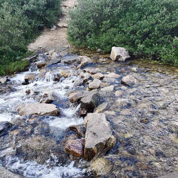
A few ford's across some creeks.
Near Bear Lake and Horn Fork Basin
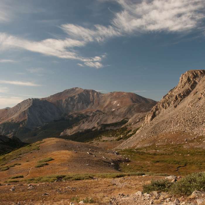
Mt. Yale dominates the view to the south.
Near Bear Lake and Horn Fork Basin
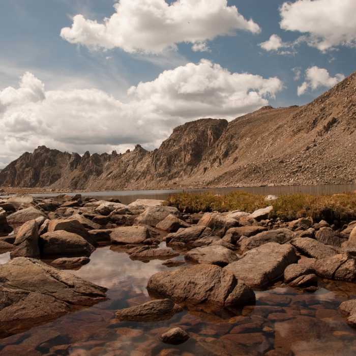
Bear Lake is a beautiful spot to stop (almost) on the way up Harvard.

Looking for more photos?

View All Photos
View Map
Driving Directions
Hike Route
Buy Now View in 3D

Bear Lake and Horn Fork Basin

4.0 (7 Ratings)
Access to high alpine Bear Lake and Horn Fork Basin below Mount Harvard. This trail makes for a beautiful day hike with excellent views of both Mount Harvard and Mount Columbia, or serves as a popular approach for multi-day backpacking trips to summit one or both of these fourteeners.
10.7
mi
Distance
2,550
ft
Gain
strenuous
Difficulty
Fall ColorsLakeRiver/CreekViewsWaterfallWildflowersWildlife
Access Issues
The North Cottonwood Creek Trailhead is accessed via Chaffee County Road 350 (Forest Road 350). The road is dirt and gravel, generally passable for standard passenger vehicles, though the final sections can be rough and high-clearance vehicles are recommended. The road is not plowed in winter, restricting vehicle access to the trailhead from late fall through late spring. There are no parking or day-use fees. Because the route enters the Collegiate Peaks Wilderness within San Isabel National Forest, specific Wilderness regulations apply.

Route Details

Flatter
Steeper
10.69mi
Distance
2,550ft
Elevation Gain
2,550ft
Elevation Loss
25%
Max Grade
12,417ft
High Point
9,883ft
Low Point
Path Type
There and Back
Description
The Bear Lake and Horn Fork Basin trail begins at the North Cottonwood Creek Trailhead, west of Buena Vista, Colorado. Starting at an elevation of 9,866 feet, the route follows a well-maintained singletrack trail through a dense evergreen forest. At 1.5 miles, the trail passes the junction for Kroenke Lake; stay right to continue climbing into the Horn Fork Basin. As the trail ascends, the trees begin to thin, offering views of Mount Yale to the southwest. Around 3 miles, the trail passes the junction for the standard Mount Columbia ascent route. The trail then leads into the open, willow-filled meadows of the upper basin, with Mount Harvard directly ahead and Mount Columbia to the east. The route concludes at Bear Lake, a high-alpine lake nestled at 12,417 feet directly below Mount Harvard. This pristine basin serves as a scenic destination for day hikers and a base camp for those preparing to climb the neighboring 14,000-foot peaks.

Route Conditions

Report Conditions
No Condition Reports
Report Conditions

Nearby Hike Routes

Kroenke Lake

Classic Hike Route

Kroenke Lake

Commonly Backpacked
moderate
8.26 mi
+1,643 ft
Mt. Columbia and Mt. Harvard Loop

Hike Route

Mt. Columbia and Mt. Harvard Loop

Dogs Allowed
extreme
14.63 mi
+5,916 ft
Mt. Harvard - South Slopes

Classic Hike Route

Mt. Harvard - South Slopes

Dogs Allowed
extreme
12.78 mi
+4,532 ft
Mt. Columbia - West Slopes

Classic Hike Route

Mt. Columbia - West Slopes

Dogs Allowed
extreme
11.56 mi
+4,230 ft
Colorado Trail: Segment 13

Hike Route

Colorado Trail: Segment 13

Views
extreme
21.89 mi
+4,299 ft
Mount Yale from Denny Creek Trailhead

Classic Hike Route

Mount Yale from Denny Creek Trailhead

Dogs Allowed
strenuous
8.51 mi
+4,313 ft
Contributors
Tyler Prince
