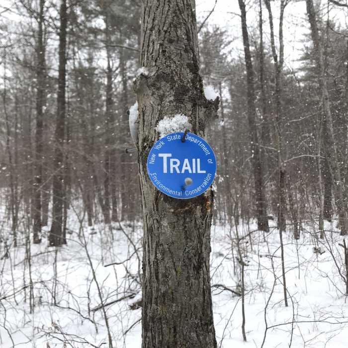
Near Zig-Zag Trail
Trail marker

Looking for more photos?

View All Photos
View Map
Driving Directions
Hike Trail

Zig-Zag Trail

4.0 (1 Rating)
3
mi
Distance
445
ft
Gain
strenuous
Difficulty
River/CreekWildlife
Access Issues
The parking area may be difficult to access or inaccessible (during the winter).

Route Details

Flatter
Steeper
3.03mi
Distance
445ft
Elevation Gain
460ft
Elevation Loss
20%
Max Grade
1,150ft
High Point
782ft
Low Point
Path Type
Point to Point
Description
This trail starts off the top of Red Pine and heads northward, following yellow blazes. The trail winds its way to the northern boundary and follows this around the edge. There is a small area, where the yellow blazes travel through a poorly maintained section of trail. There is a small cut-off that appears to act as the main tread, instead. The trail continues to wind over a few hilltops and then descends down to Corridor 9.

Route Conditions

Report Conditions
No Condition Reports
Report Conditions

Nearby Hike Routes

Valentino Family Community Forest

Hike Route

Valentino Family Community Forest

easy
4.91 mi
+564 ft
Featherweald Loop

Hike Route

Featherweald Loop

easy
1.21 mi
+107 ft
Poestenkill Loop

Hike Route

Poestenkill Loop

moderate
4.64 mi
+714 ft
Barberville Falls Preserve Loop

Hike Route

Barberville Falls Preserve Loop

easy
1.91 mi
+508 ft
Berlin Mountain + Taconic Crest Trail

Hike Route

Berlin Mountain + Taconic Crest Trail

Views
easy
2.69 mi
+998 ft
Snow Hole + Taconic Crest Trail

Hike Route

Snow Hole + Taconic Crest Trail

Views
easy
2.8 mi
+577 ft
Contributors
David Smith
