Near Peck Gulch Nature Trail #550
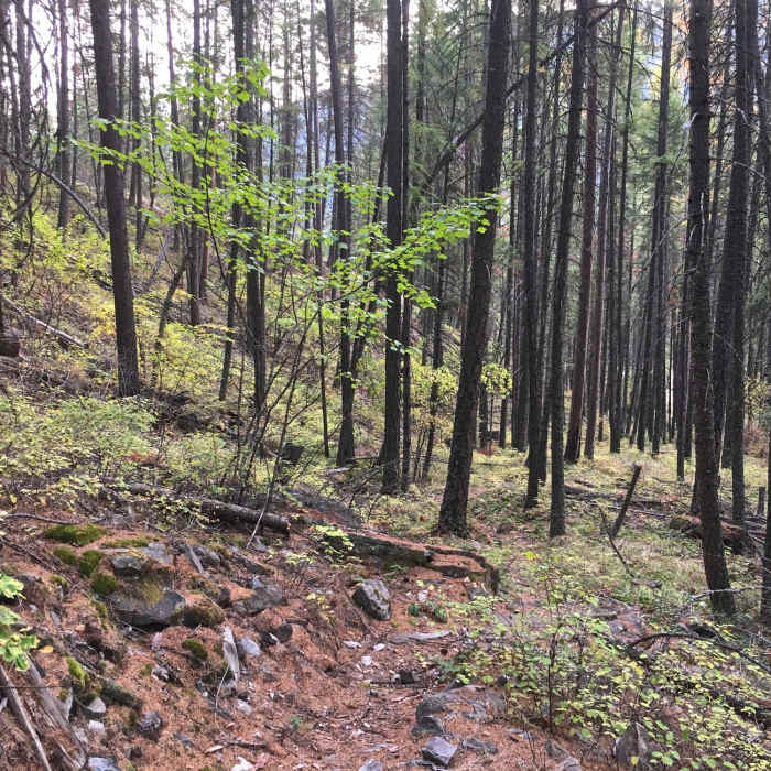
Narrow, needle-strewn trail begins its gradual climb from Peck Gulch day use area.
Near Peck Gulch Nature Trail #550
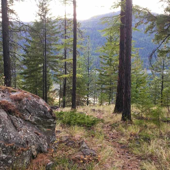
As you hike this pleasant, needly track, you're somehow totally unaware that this little trail is tucked within the bend of the entrance road.
Near Peck Gulch Nature Trail #550
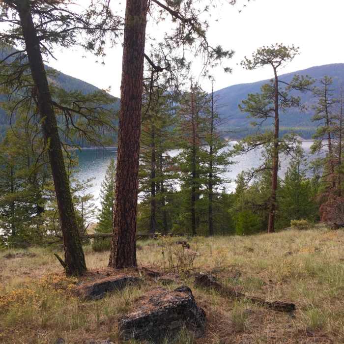
The highest reaches of the trail, just below Hwy 37, offer the best views of Lake Koocanusa.

Looking for more photos?

View All Photos
Driving Directions
Hike Trail

Peck Gulch Nature Trail #550

3.0 (1 Rating)
A pleasant little hillside trail offering views of Lake Koocanusa
0.7
mi
Distance
260
ft
Gain
moderate
Difficulty
Family FriendlyLakeViews

Route Details

Flatter
Steeper
0.66mi
Distance
260ft
Elevation Gain
223ft
Elevation Loss
25%
Max Grade
2,701ft
High Point
2,491ft
Low Point
Path Type
Point to Point
Description
It's hard to rate this benign little trail intermediate. Still, it's not flat. It climbs from the campground and day use area to the highway and back down, offering views of Lake Koocanusa through open forest. It's a narrow track laden with needles but still easy to follow. Highly recommended as a quick leg stretch during a day of driving.

Route Conditions

Report Conditions
No Condition Reports
Report Conditions

Nearby Hike Routes

Pacific Northwest National Scenic Trail Section 3

Hike Route

Pacific Northwest National Scenic Trail Section 3

Lake
extreme
48.83 mi
+8,697 ft
Pacific Northwest National Scenic Trail Section 4

Hike Route

Pacific Northwest National Scenic Trail Section 4

Less Crowded
extreme
65.44 mi
+12,127 ft
Bluebird and Wolverine Lake Loop

Hike Route

Bluebird and Wolverine Lake Loop

Birding
strenuous
9.43 mi
+2,047 ft
Kootenai Falls Trail

Hike Route

Kootenai Falls Trail

easy
1.4 mi
+238 ft
Purcell Mountains Loop

Hike Route

Purcell Mountains Loop

extreme
20.77 mi
+5,925 ft
Montana Trail Section 1

Hike Route

Montana Trail Section 1

Commonly Backpacked
strenuous
191.44 mi
+32,552 ft
Contributors
Hiking Project Staff
