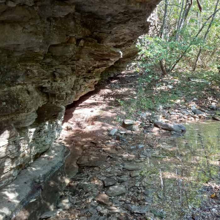
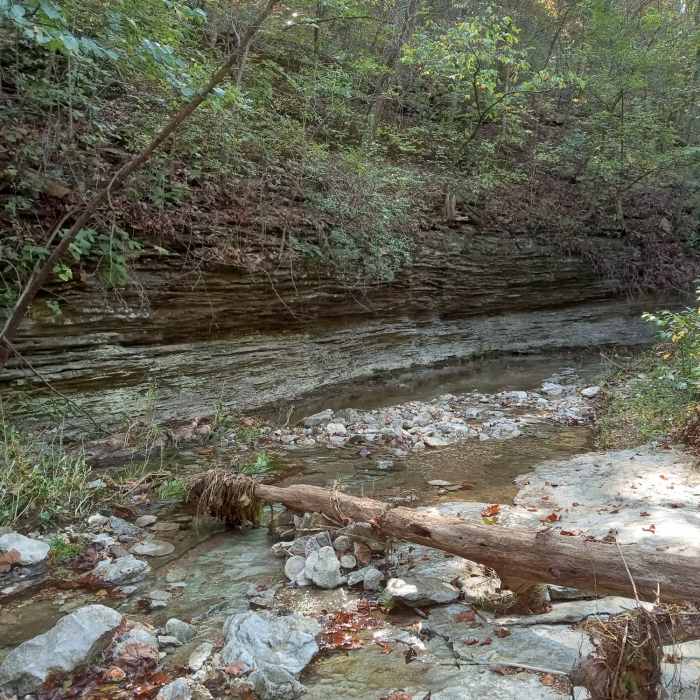
Near Devil's Eyebrow Trail
At the end of the trail.
Near Devil's Eyebrow Trail
Coming up on the end of the trail.
Near Devil's Eyebrow Trail
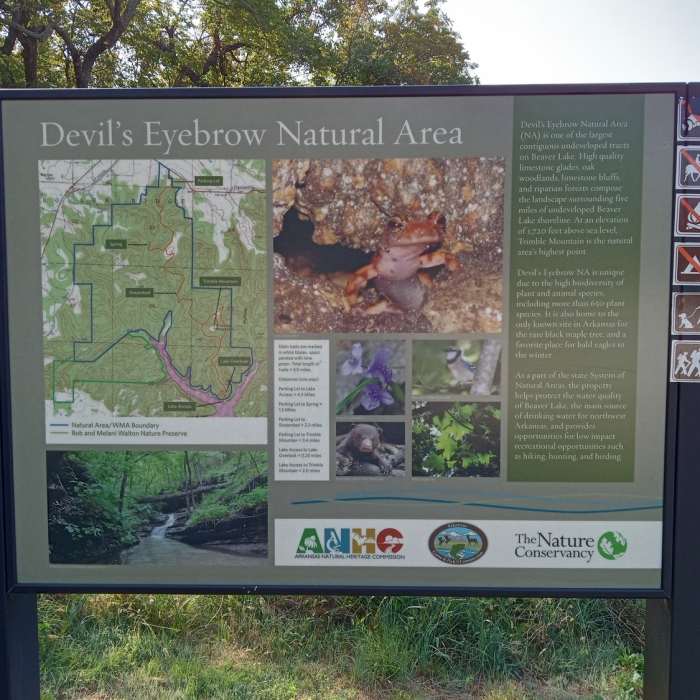
One of the informational signs along the trail.

Looking for more photos?

View All Photos
View Map
Driving Directions
Hike Trail

Devil's Eyebrow Trail

4.0 (3 Ratings)
This is a strenuous trail with significant elevation change, but good views and interesting rock formations.
4.8
mi
Distance
921
ft
Gain
strenuous
Difficulty
BirdingCaveFall ColorsHistoricalLakeRiver/CreekWaterfallWildlife

Route Details

Flatter
Steeper
4.77mi
Distance
921ft
Elevation Gain
1,364ft
Elevation Loss
25%
Max Grade
1,644ft
High Point
1,135ft
Low Point
Path Type
Point to Point
Description
The parking lot for the Devil's Eyebrow Natural Area is accessed from an inconspicuous gravel road off Hwy 62. From the trailhead, begin a steep descent into the valley. Along the way, notice a number of logging roads that intersect with the main trail. Choose to access the Spring Trail for some interesting rock formations, or continue to Trimble Mountain, which involves an additional steep hike. Past Trimble Mountain, head down towards the water to find Beaver Lake. This trail is particularly well-marked with white blazes and several trail maps along the way.

Route Conditions

Report Conditions
No Condition Reports
Report Conditions

Nearby Hike Routes

Tea Kettle Falls Hike

Hike Route

Tea Kettle Falls Hike

River/Creek
moderate
1.19 mi
+152 ft
Tanyard Creek Loop

Hike Route

Tanyard Creek Loop

Birding
moderate
1.45 mi
+164 ft
Dogwood Loop Trail

Hike Route

Dogwood Loop Trail

Less Crowded
easy
1.07 mi
+170 ft
Lakeshore Trail

Hike Route

Lakeshore Trail

Lake
easy
1.25 mi
+42 ft
Chinquapin Trail

Hike Route

Chinquapin Trail

Less Crowded
easy
2.04 mi
+87 ft
Glade Trail

Hike Route

Glade Trail

Less Crowded
moderate
1.07 mi
+166 ft
Contributors
Missouri Hiker
