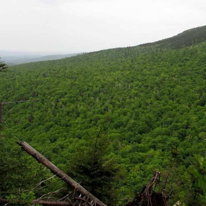
Near Mowglis Trail
Mt. Cardigan
Near Mowglis Trail
Summit view
Near Mowglis Trail
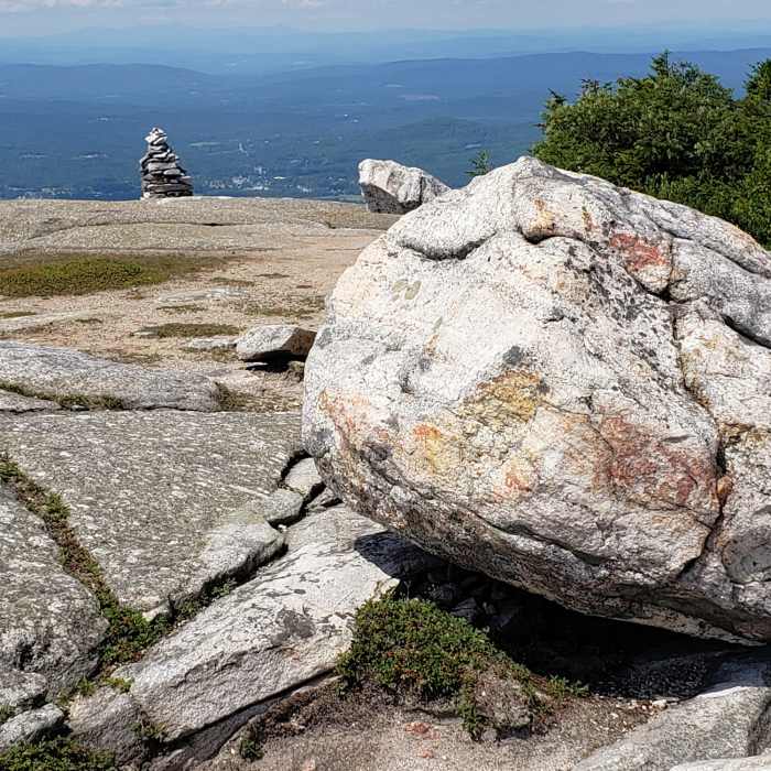
West Ridge Trail near summit view southest toward Canaan, NH.
Near Mowglis Trail
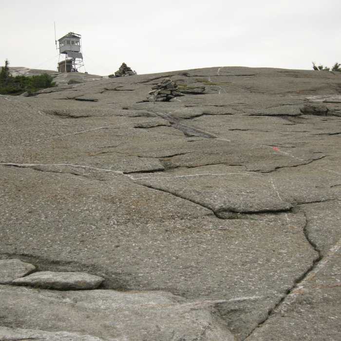
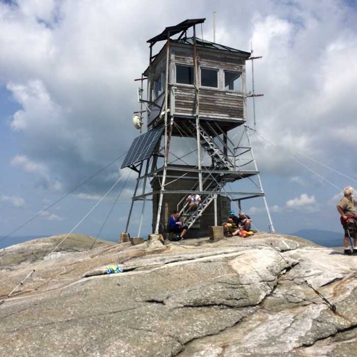
Summit of Mt. Cardigan with fire tower (photo looking NW).
Near Mowglis Trail
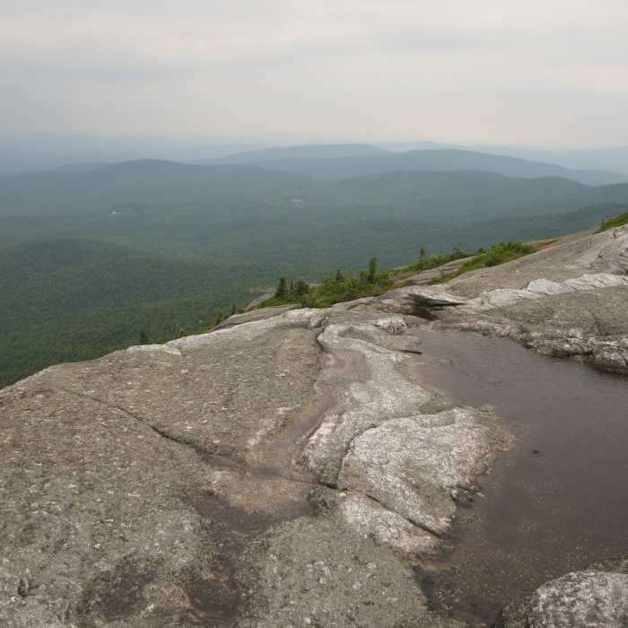
View with a steep dropoff.

Looking for more photos?

View All Photos
View Map
Driving Directions
Hike Trail
Buy NowView in 3D

Mowglis Trail

4.0 (5 Ratings)
A moderate trail connecting the end of New Colony Rd with the summits of Firescrew and Cardigan.
2
mi
Distance
1,005
ft
Gain
moderate
Difficulty
BirdingFall ColorsViewsWildlife

Route Details

Flatter
Steeper
1.96mi
Distance
1,005ft
Elevation Gain
168ft
Elevation Loss
30%
Max Grade
3,146ft
High Point
2,310ft
Low Point
Path Type
Point to Point
Description
From the end of New Colony Rd, head southeast and up to the ridge. At the intersection with Back 80 Trail, stay right and make your way south along the ridge. Beyond Crag Shelter, continue south along the ridge passing the Manning Trail as you near the summit of Firescrew. Keep your eyes peeled for blazes and cairns in the steep area. Once past the summit, scramble up to the fire tower on top of Mt Cardigan.

Route Conditions

Report Conditions
No Condition Reports
Report Conditions

Nearby Hike Routes

Mt. Cardigan Super Loop

Hike Route

Mt. Cardigan Super Loop

Birding
strenuous
8.75 mi
+3,222 ft
Mount Cardigan via West Ridge Trail

Classic Hike Route

Mount Cardigan via West Ridge Trail

Birding
strenuous
2.71 mi
+1,208 ft
Mount Cardigan via South Ridge Trail over Rimrock and South Peak

Hike Route

Mount Cardigan via South Ridge Trail over Rimrock and South Peak

Dogs Allowed
strenuous
3.08 mi
+1,251 ft
Mount Cardigan via Holt Trail and Manning Trail

Hike Route

Mount Cardigan via Holt Trail and Manning Trail

Fall Colors
strenuous
4.71 mi
+1,929 ft
Rattlesnake Mountain

Hike Route

Rattlesnake Mountain

Birding
strenuous
2.37 mi
+1,000 ft
Smarts Mountain via Lambert Ridge and Ranger Trails

Classic Hike Route

Smarts Mountain via Lambert Ridge and Ranger Trails

Dogs Allowed
strenuous
7.55 mi
+2,497 ft
Contributors
Simon Pendleton
