Ready to explore this trail?
View Trail Map in AppRegional Classic
A must do route for the area handpicked by local experts.
No permit is required for day use. The access road is gated and unplowed in winter, adding roughly 0.5 miles of approach from the winter parking area.
Path Type
There and Back
The route starts and ends at the Cardigan Mountain State Park trailhead at the end of Cardigan Mountain Road and reaches the summit of Mount Cardigan.
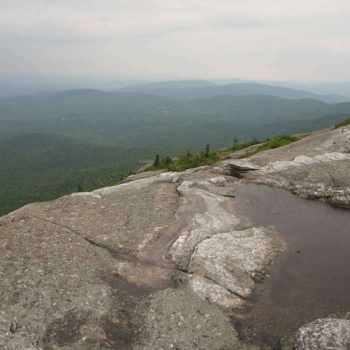
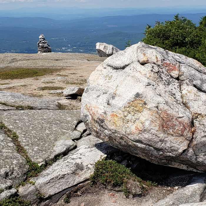
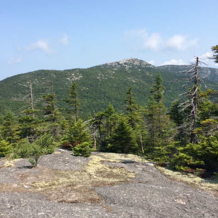
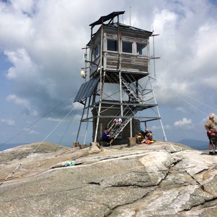
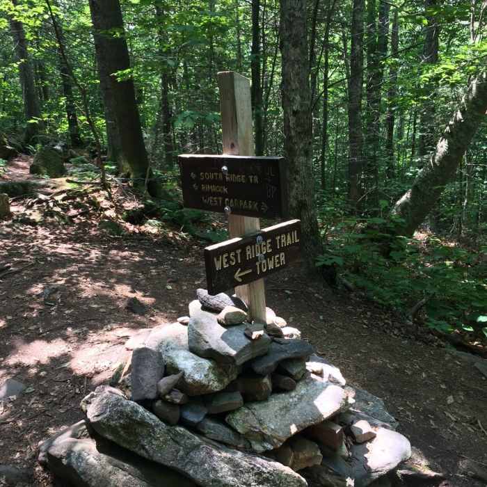
From the back of the parking lot, follow the West Ridge Trail east as it climbs through hardwood and spruce forest. At 0.4 miles, continue straight past the junction with the Skyland Trail on the right. The grade steepens near .9 miles as the forest thins, and by 1.1 miles the trail breaks fully into the open onto bare granite, marked by cairns and painted blazes rather than a defined tread. Continue up the exposed rock to the fire-tower summit at 1.3 miles, 1,127 vertical feet above the trailhead. The final push is fully exposed to wind and weather and can be hazardous when wet or icy; cairns are the only guide across the open rock, so visibility matters more here than on any other section.
Retrace the West Ridge Trail to return.
All Clear
All Clear
All Clear
All Clear
Looking for more condition reports?
Mt. Cardigan Super Loop
Mt. Cardigan Super Loop
Mount Cardigan via South Ridge Trail over Rimrock and South Peak
Mount Cardigan via South Ridge Trail over Rimrock and South Peak
Mount Cardigan via Holt Trail and Manning Trail
Mount Cardigan via Holt Trail and Manning Trail
Rattlesnake Mountain
Rattlesnake Mountain
Smarts Mountain via Lambert Ridge and Ranger Trails
Smarts Mountain via Lambert Ridge and Ranger Trails
Contributors

