
Ready to explore this trail?
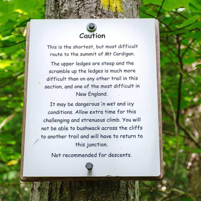
View Trail Map in AppNo permit is required for day use. The Holt Trail's steep, exposed ledges are not recommended in wet, icy, or low-visibility conditions. Dogs are not allowed on Holt's Trail.
Path Type
Loop
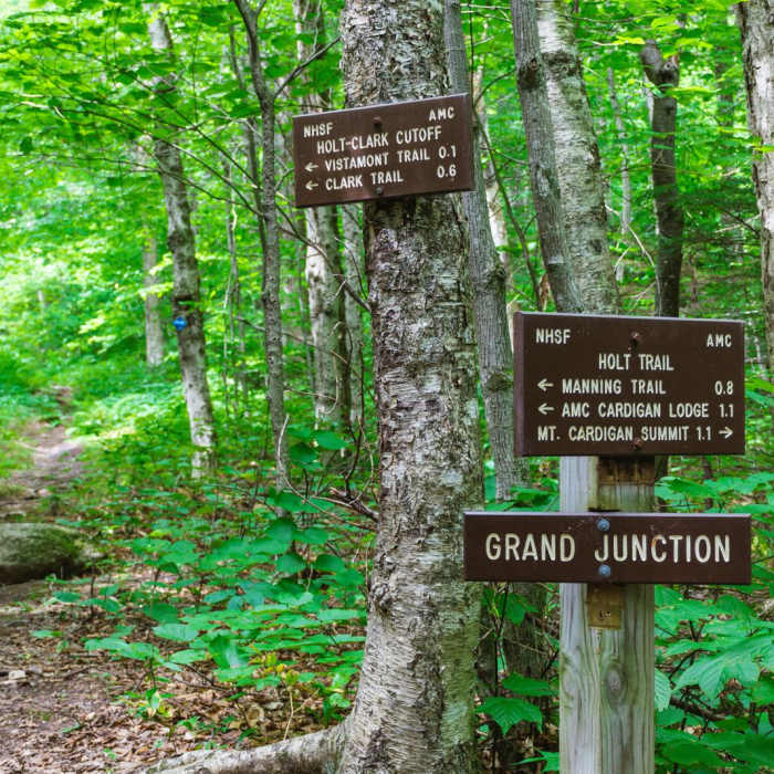
The route starts and ends near the Cardigan Campsites at the Holt/Manning Trailhead, a short walk from AMC Cardigan Lodge.
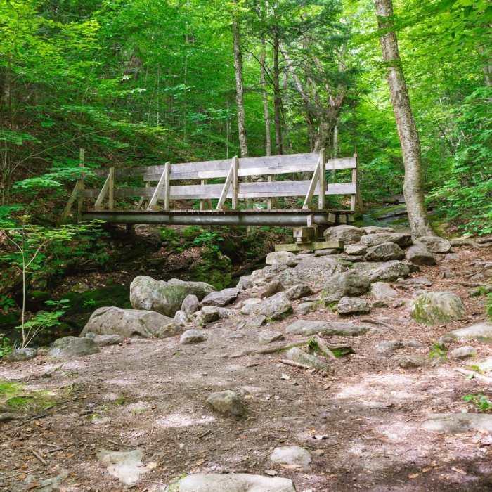
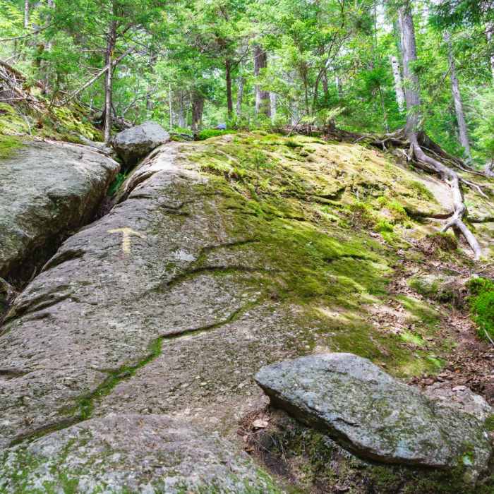
From the trailhead, follow the Holt Trail north from the campsites junction, passing Elizabeth Falls on Bailey Brook at approximately 1 mile. Continue climbing toward the summit; the final half-mile is the crux of this route: steep, exposed granite ledges with sections of fixed-cable assistance, rated among the more demanding standard trails on the mountain and requiring careful route-finding and hand-over-hand scrambling in places. Reach the Mount Cardigan summit at 2 miles, having gained roughly 1,685 vertical feet.
From the summit, descend on the Manning Trail, passing beneath Firescrew Mountain along the way. From Firescrew's summit, it's 2.2 miles back to the finish. Reach the Cardigan Campsites junction, then follow the short connector back to the start.
No Condition Reports
Mt. Cardigan Super Loop
Mt. Cardigan Super Loop
Mount Cardigan via West Ridge Trail
Mount Cardigan via West Ridge Trail
Mount Cardigan via South Ridge Trail over Rimrock and South Peak
Mount Cardigan via South Ridge Trail over Rimrock and South Peak
Walter - Newton Loop
Walter - Newton Loop
Rattlesnake Mountain
Rattlesnake Mountain
Contributors

