
Ready to explore this trail?
View Trail Map in AppNo permit is required for day use. The South Ridge and Clark Trail sections receive less maintenance than the West Ridge Trail and can be harder to follow above timberline.
Path Type
Loop
The route starts and ends at the Cardigan Mountain State Park trailhead and passes Rimrock, Cardigan's South Peak, and the summit of Cardigan.
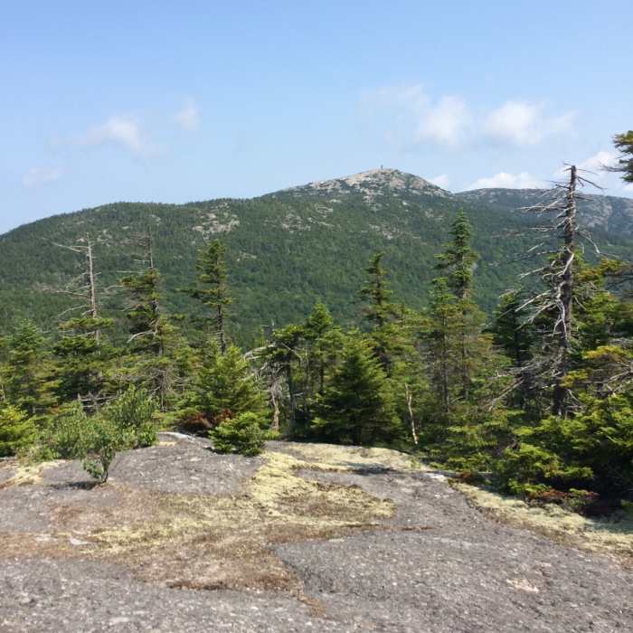
From the trailhead, follow the West Ridge Trail east 0.4 miles to the South Ridge Trail junction and turn right (south). Follow the trail to the open ledge of Cardigan Rimrock, at approximately 1 mile and 2,800 feet, then continue on the ridge to Cardigan South Peak at 2,864 feet — both exposed granite knobs with wide views south and west.
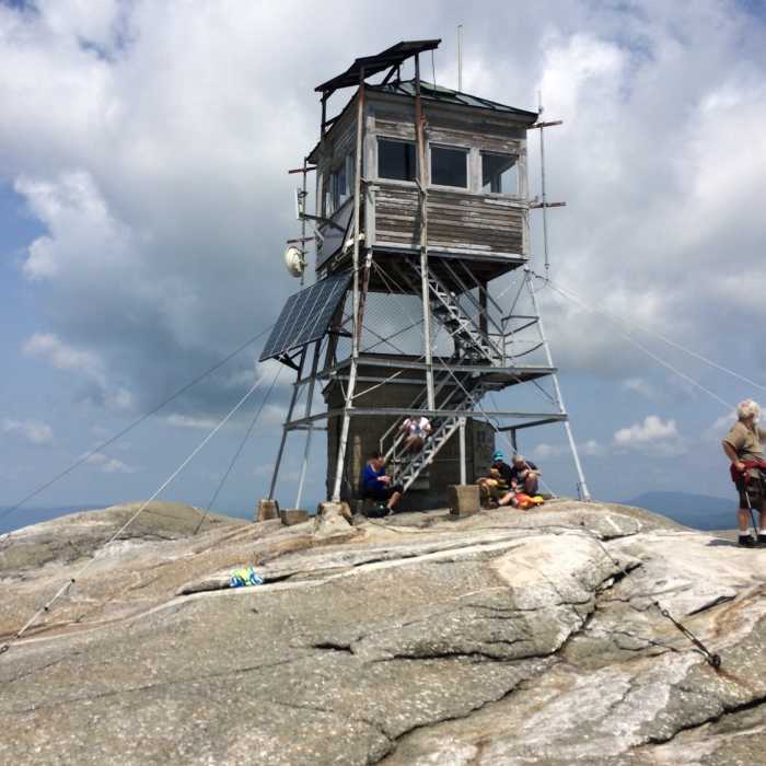
From South Peak, continue roughly 0.2 miles north on the South Ridge Trail to its junction with the Clark Trail just below the main summit ridge. Turn left and climb the final open granite pitch to the Mount Cardigan summit, an estimated 1,300 vertical feet above the trailhead. Descend the West Ridge Trail 1.5 miles back to the trailhead.
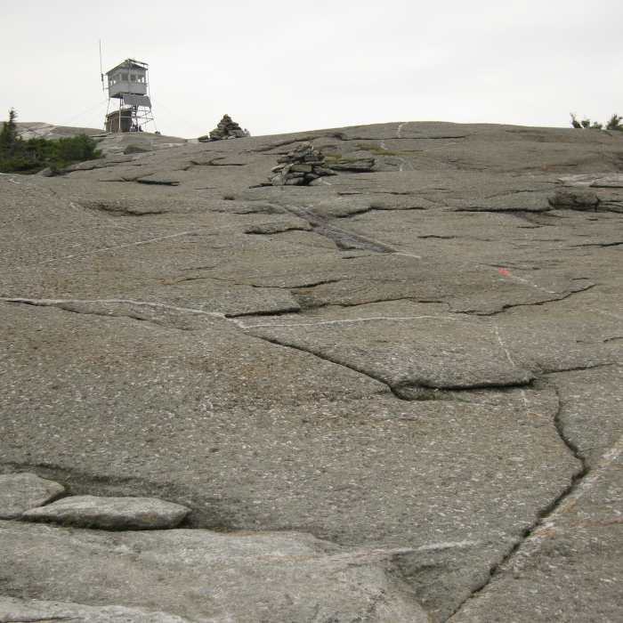
Route-finding across the open ledge sections of South Ridge and Clark Trails requires attention to cairns and blazes, particularly in poor visibility — this ridge sees less maintenance and fewer hikers than the West Ridge Trail.
This route can also be completed in the opposite direction for a more moderate descent.
No Condition Reports
Mt. Cardigan Super Loop
Mt. Cardigan Super Loop
Mount Cardigan via West Ridge Trail
Mount Cardigan via West Ridge Trail
Mount Cardigan via Holt Trail and Manning Trail
Mount Cardigan via Holt Trail and Manning Trail
Rattlesnake Mountain
Rattlesnake Mountain
Smarts Mountain via Lambert Ridge and Ranger Trails
Smarts Mountain via Lambert Ridge and Ranger Trails
Contributors

