Ready to explore this trail?
View Trail Map in AppRegional Classic
A must do route for the area handpicked by local experts.
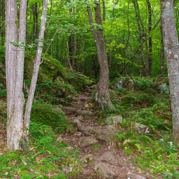
No permit required. The Ranger Trail is unmaintained and lightly traveled; navigation can be more difficult than on the blazed Appalachian Trail section.
Path Type
Loop
This route starts and ends at the Smarts Mountain Trailhead on Dorchester Road in Lyme, climbing Lambert Ridge on the way up and descending the Ranger Trail, though the loop can also be reversed.
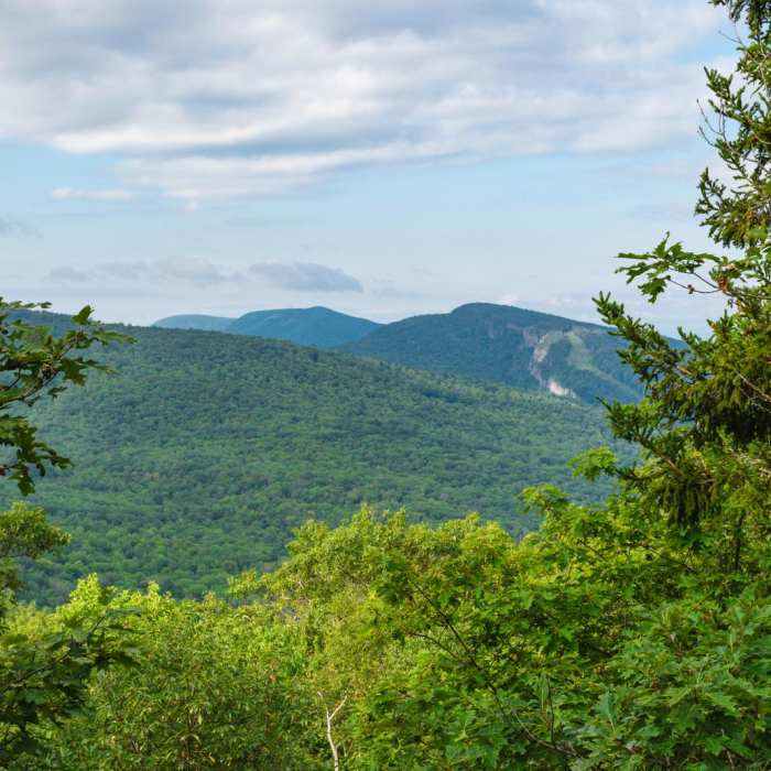
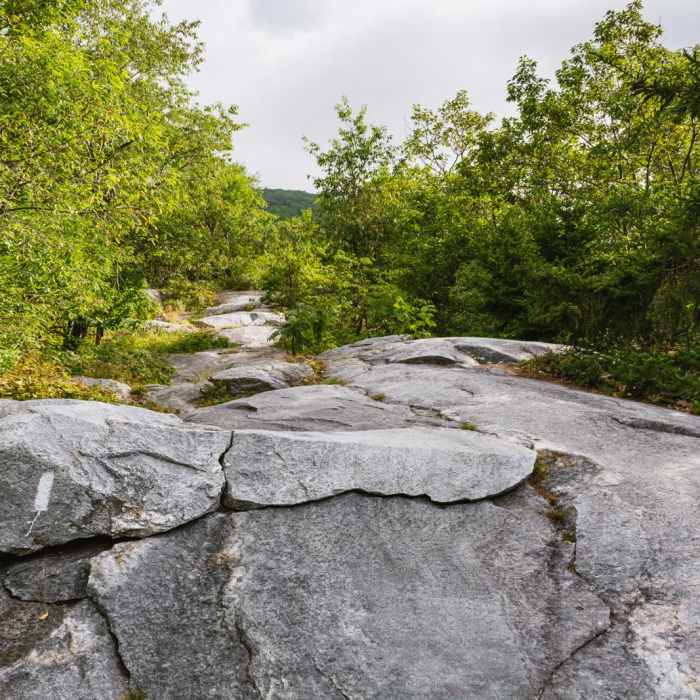
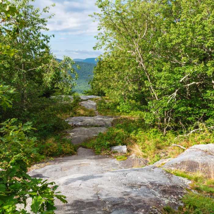
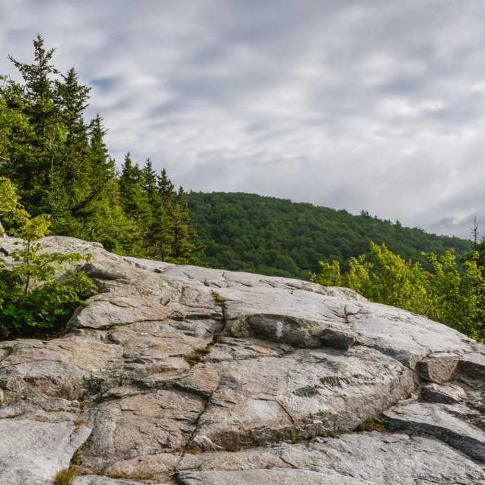
From the trailhead, follow the white-blazed Appalachian Trail onto Lambert Ridge, reaching the ridge's best viewpoint, a long rock ledge with views east and south to Mount Cardigan, at 0.8 mile. Continue along the open ridge, passing another ledge with a view of the summit at 1.8 miles, and a smaller ledge used as a campsite by long-distance hikers about 0.2 mile before the summit.
Reach the summit at around 3.8 miles, where a restored 41-foot steel fire tower, built in 1939 and the last of its kind in New Hampshire, gives 360-degree views over the otherwise wooded summit.
Descend via the blue-blazed Ranger Trail, an unmaintained route back to the trailhead with steeper but more consistent grades.
The full loop covers approximately 7.5 miles with about 2,500 vertical feet of cumulative elevation gain.
No Condition Reports
Moose Mountain Trail
Moose Mountain Trail
Contributors

