

Ready to explore this trail?
View Trail Map in AppRegional Classic
A must do route for the area handpicked by local experts.
No permit is required. Parking at Adirondak Loj costs $25 per day before 1 PM and fills by 6 AM on summer weekends; overflow adds about 1 mile each way.
Path Type
There and Back
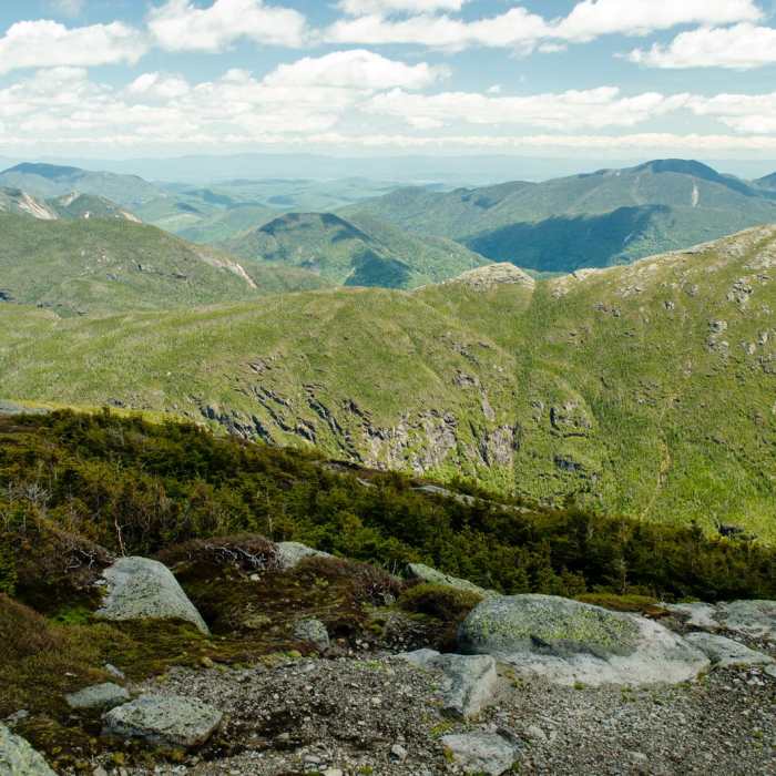
The route starts and ends at Adirondak Loj and reaches the summit of Mount Skylight (4,924') by the Van Hoevenberg Trail, Avalanche Pass Trail, Lake Arnold Trail, and the trail along the Opalescent River.
From the lot, follow the blue-marked Van Hoevenberg Trail 2.3 miles on easy, rolling terrain to Marcy Dam. Continue straight onto the Avalanche Pass Trail and follow Marcy Brook 1.1 miles to the junction with the Lake Arnold Trail. Turn onto the Lake Arnold Trail, a rocky, muddy climb in or beside the brook, then descend to the Feldspar Brook area and shelter. The Opalescent River crossing can be knee-deep, with floating bog bridges.
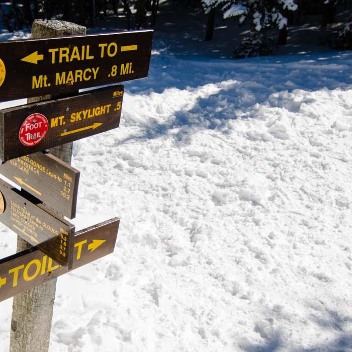
Pass Feldspar Lean-to. About 0.1 mile beyond, at the Opalescent River Trail junction, follow the trail upstream along the river and past Uphill Lean-to toward Lake Tear of the Clouds. Continue to the Four Corners junction, and turn right onto the Skylight Trail. Climb 0.5 miles and about 530 vertical feet of steep rock and slab to the exposed summit.
Crux: the Lake Arnold Trail is slow, wet, and boggy, and the river crossing can be difficult at high water. The upper slabs are slick when wet or icy.
Return the same way.
No Condition Reports
The MacIntyre Range Hike
The MacIntyre Range Hike
Algonquin Peak
Algonquin Peak
Iroquois Peak
Iroquois Peak
Mount Marcy via Van Hoevenberg Trail
Mount Marcy via Van Hoevenberg Trail
Mount Marcy, Mount Skylight + Gray Peak Loop
Mount Marcy, Mount Skylight + Gray Peak Loop
Mount Redfield
Mount Redfield
Contributors

