Ready to explore this trail?
View Trail Map in AppNo permit is required. Avalanche Pass reopened August 26, 2026 after a landslide closure; trail work continues through 2027. Loj parking is $25 per day and fills early.
Path Type
Loop
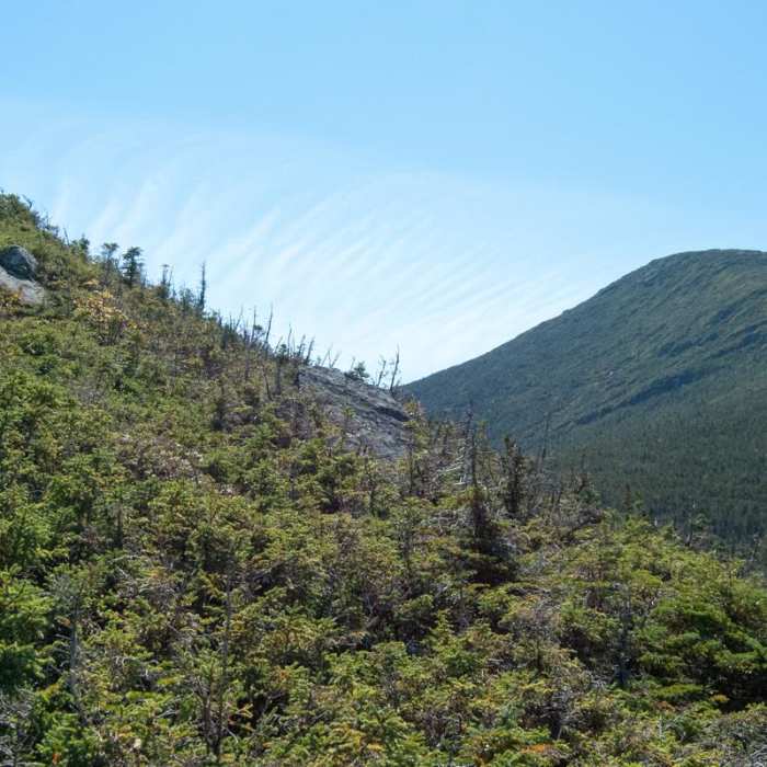
The route begins and ends at Adirondak Loj and reaches the summits of Wright Peak (4,580'), Algonquin Peak (5,114'), and Iroquois Peak (4,840').
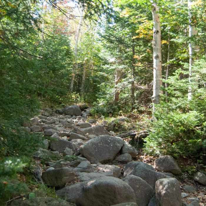
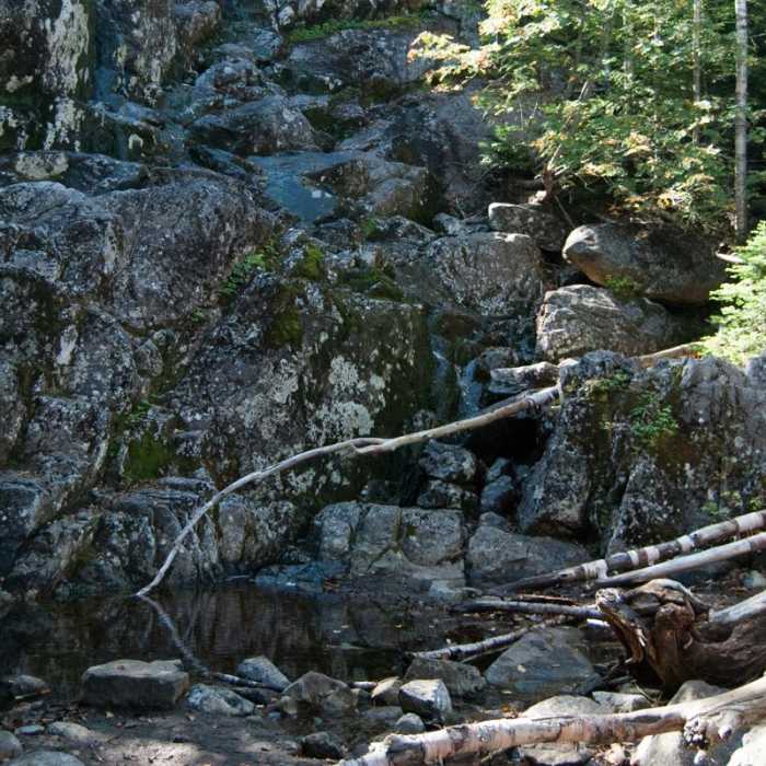
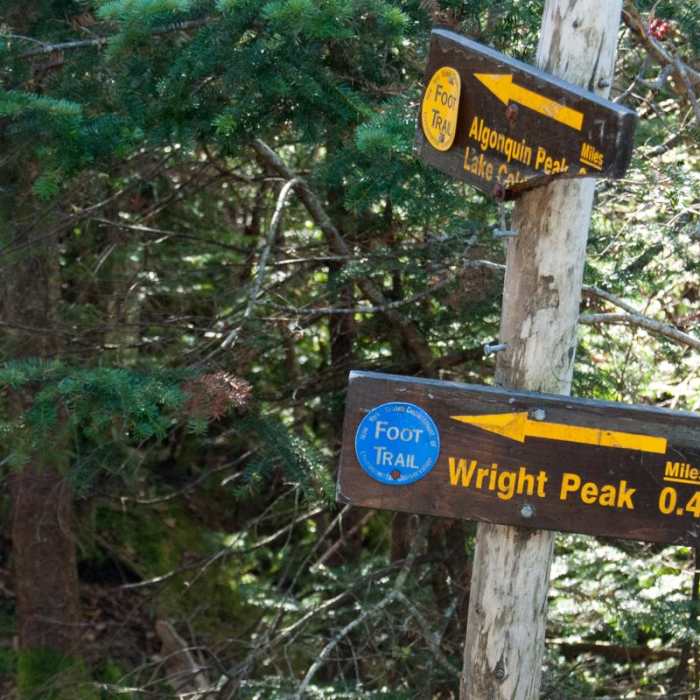
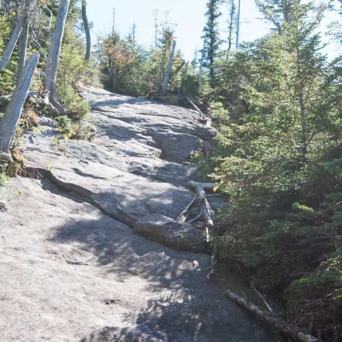
From the lot, follow the Van Hoevenberg Trail 1 mile, then continue straight on the Algonquin Peak Trail. Climb steeply past MacIntyre Falls (2.5 miles) to the Wright Peak junction at 3 miles. Turn left up the steep bedrock spur 0.4 miles to Wright's open summit. Return to the junction, turn left, and climb open bedrock to Algonquin's summit at about 4.6 miles; stay on the rock.
Descend Algonquin's southwest side. In less than 0.5 mile, pass the Lake Colden Trail on the left. Continue straight over Boundary Peak, scrambling steep rock to Iroquois's summit. Navigation crux: the path is unmarked but well-worn, with boardwalks over wet spots.
From Iroquois's summit, retrace to the junction and turn right onto the Lake Colden Trail. It drops very steeply, so watch your footing here especially when the trail is icy or wet. At the Avalanche Pass Trail juntion at 7.5 miles bear left and follow the lakeshore over boulders, plank bridges, and ladders. Climb through Avalanche Pass past landslide debris, and continue to Marcy Dam at 10.7 miles. Once across the river, rurn right on the Van Hoevenberg Trail for the last 2.3 miles to the Loj.
No Condition Reports
Mount Marcy via Van Hoevenberg Trail
Mount Marcy via Van Hoevenberg Trail
Mount Marcy, Mount Skylight + Gray Peak Loop
Mount Marcy, Mount Skylight + Gray Peak Loop
Algonquin Peak + Mount Marcy Loop
Algonquin Peak + Mount Marcy Loop
Mount Redfield
Mount Redfield
Phelps Mountain Trail
Phelps Mountain Trail
Tabletop Mountain
Tabletop Mountain
Contributors

