Ready to explore this trail?
View Trail Map in AppRegional Classic
A must do route for the area handpicked by local experts.
A daily parking fee is required at Adirondak Loj, and the lot frequently fills to capacity early in the morning on weekends and holidays. No permits are required for day hikes, but all hikers must register at the trailhead. Wilderness regulations apply within the High Peaks Wilderness.
Path Type
There and Back
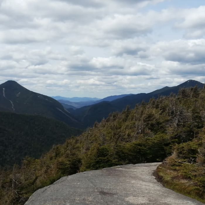
The route begins and ends the Adirondak Loj trailhead after reaching the summit of Phelps Mountain.
Begin at the Adirondak Loj trailhead near the High Peaks Information Center. Follow the blue-blazed Van Hoevenberg Trail southeast for 2.3 miles to Marcy Dam, climbing gently. Cross Marcy Dam and follow the Van Hoevenberg Trail toward Phelps Mountain. Around 3.3 miles, turn left onto the Phelps Mountain Trail. Climb 1,200 vertical feet over the next 1.0 mile. This section is extremely steep and rocky, requiring careful footing over large boulders and slab sections. The route ends at the ledges just below the wooded summit of Phelps Mountain at 4.2 miles.
Retrace your steps to return to the trailhead.
No Condition Reports
Mount Marcy via Van Hoevenberg Trail
Mount Marcy via Van Hoevenberg Trail
The MacIntyre Range Hike
The MacIntyre Range Hike
Mount Marcy, Mount Skylight + Gray Peak Loop
Mount Marcy, Mount Skylight + Gray Peak Loop
Algonquin Peak + Mount Marcy Loop
Algonquin Peak + Mount Marcy Loop
Mount Redfield
Mount Redfield
Tabletop Mountain
Tabletop Mountain
Contributors

