Ready to explore this trail?
View Trail Map in AppRegional Classic
A must do route for the area handpicked by local experts.
Permits are not required for day hikes or overnight trips; however, parking at the Adirondack Loj trailhead requires a daily fee. Parking can fill up early during the summer and peak autumn foliage seasons.
Wilderness regulations apply within the High Peaks Wilderness.
Path Type
There and Back
This route begins at the Adirondack Loj parking area and turns around at the summit of Mount Marcy.
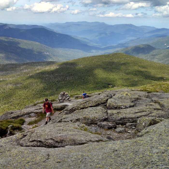
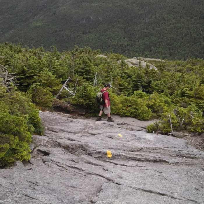
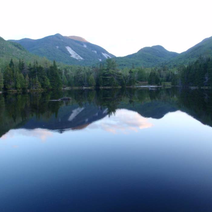
Follow the blue-blazed Van Hoevenberg Trail from the trailhead. At 2.3 miles, reach Marcy Dam. Cross the wooden bridge downstream from the former dam structure and turn left, following signs toward Mount Marcy. At 3.0 miles, pass the junction for the Phelps Mountain Trail on the left and continue straight. At 4.3 miles, arrive at Indian Falls, crossing the stream on exposed ledges. Beyond Indian Falls, climb steeply over rocky, eroded trail, gaining over 2,100 vertical feet to the summit. At 5.5 miles, pass the junction for the trail to Bushnell Falls on the right and continue straight. Continue climbing past the Hopkins Trail junction on the left at 6.0 miles, then past the Phelps Trail junction on the left at 6.8 miles. Above 4,700 feet, the trail emerges above the treeline. Follow the yellow paint blazes on the bare bedrock to navigate the final stretch to the summit of Mount Marcy at 7.1 miles.
Retrace your steps to return to the trailhead.
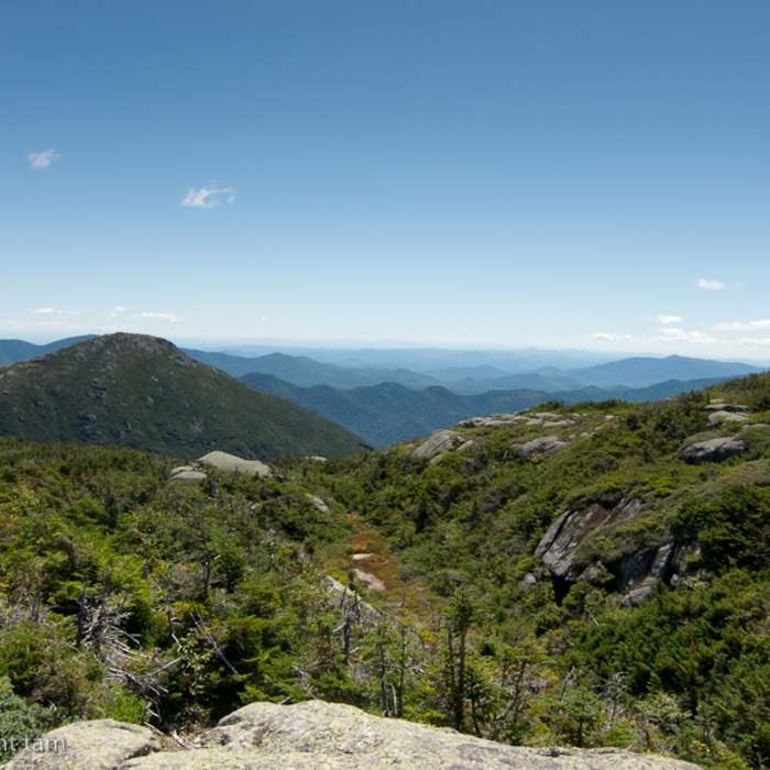
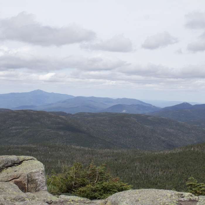
The highest peak in New York State, Mt. Marcy stands at an impressive 5,343' above sea-level.
No Condition Reports
Mount Marcy, Mount Skylight + Gray Peak Loop
Mount Marcy, Mount Skylight + Gray Peak Loop
Mount Redfield
Mount Redfield
Cliff Mountain
Cliff Mountain
Gray Peak
Gray Peak
Mount Colden via Lake Arnold
Mount Colden via Lake Arnold
The MacIntyre Range Hike
The MacIntyre Range Hike
Contributors

