
Ready to explore this trail?
View Trail Map in AppRegional Classic
A must do route for the area handpicked by local experts.
No permit is required. Parking at Adirondak Loj costs $25 per day before 1 PM and fills by 6 AM on summer weekends; overflow adds about 1 mile each way.
Path Type
There and Back
The route starts and ends at Adirondak Loj and reaches the summit of Iroquois Peak (4,840'), about 9.4 miles round trip, over Algonquin Peak (5,114').
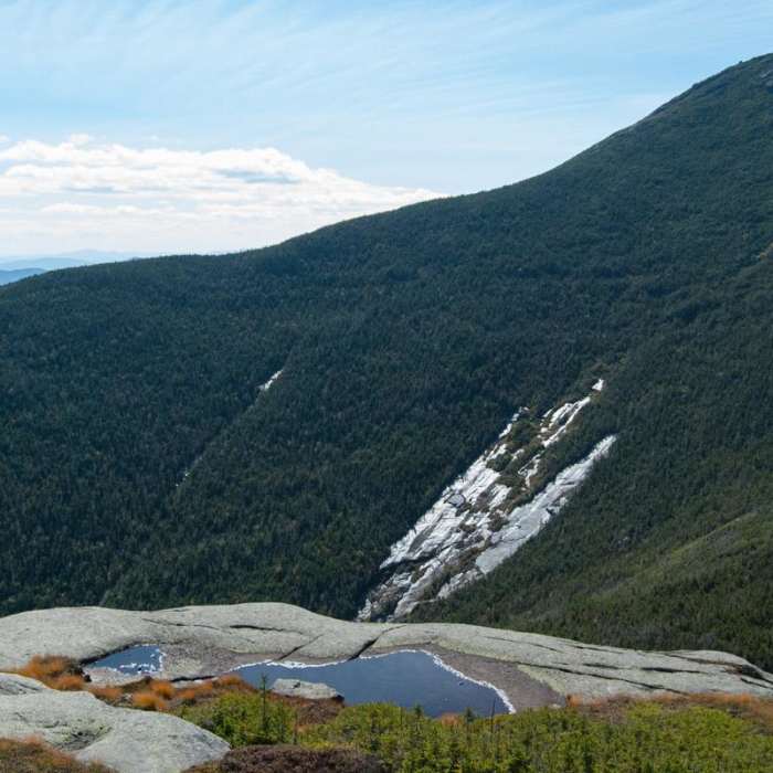
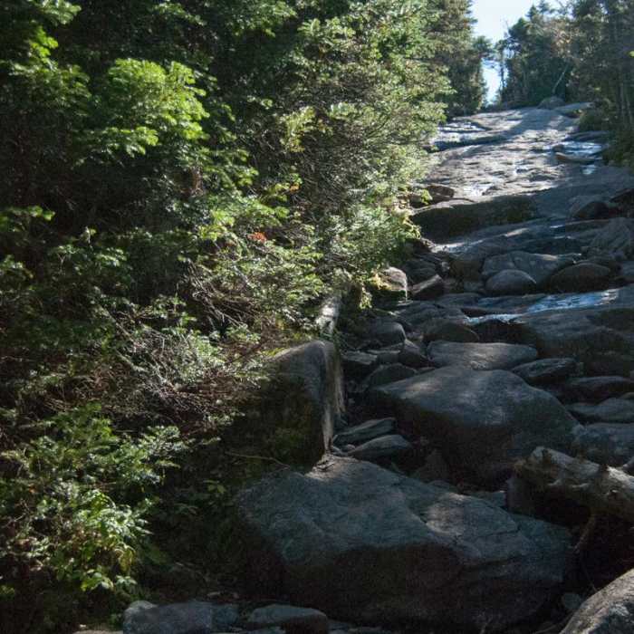
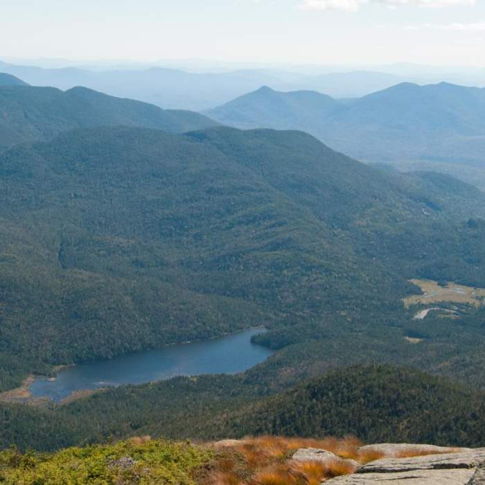
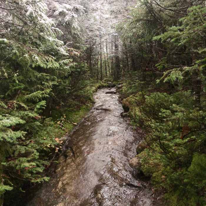
From the lot, follow the Van Hoevenberg Trail 1 mile, then continue straight onto the Algonquin Peak Trail, leaving the Marcy Dam route to the left. Climb steeply over rocks and roots, passing MacIntyre Falls at about 2.5 miles. At 3.3 miles, pass the Wright Peak junction on the left, where there is a sign and a privy, and continue straight up steep bedrock. Above timberline, follow the yellow paint blazes and stay on bare rock to Algonquin's summit at about 3.8 miles.
Descend southwest over open rock. In less than 0.5 mile, pass the Lake Colden Trail dropping to the left and continue ahead onto the unmarked herd path to Iroquois. Route-finding is required. The narrow, cairned path crosses wet bog, climbs over Boundary Peak, and ends with a steep climb with exposed sections to Iroquois's summit, 1 mile from Algonquin.
Return the same way, back over Boundary Peak and Algonquin. The bedrock descent is steep and slippery when wet; microspikes or crampons are needed on the upper slabs in winter.
No Condition Reports
The MacIntyre Range Hike
The MacIntyre Range Hike
Algonquin Peak
Algonquin Peak
Mount Skylight
Mount Skylight
Mount Marcy via Van Hoevenberg Trail
Mount Marcy via Van Hoevenberg Trail
Mount Marcy, Mount Skylight + Gray Peak Loop
Mount Marcy, Mount Skylight + Gray Peak Loop
Mount Redfield
Mount Redfield
Contributors

