
Ready to explore this trail?
View Trail Map in AppPath Type
Point to Point
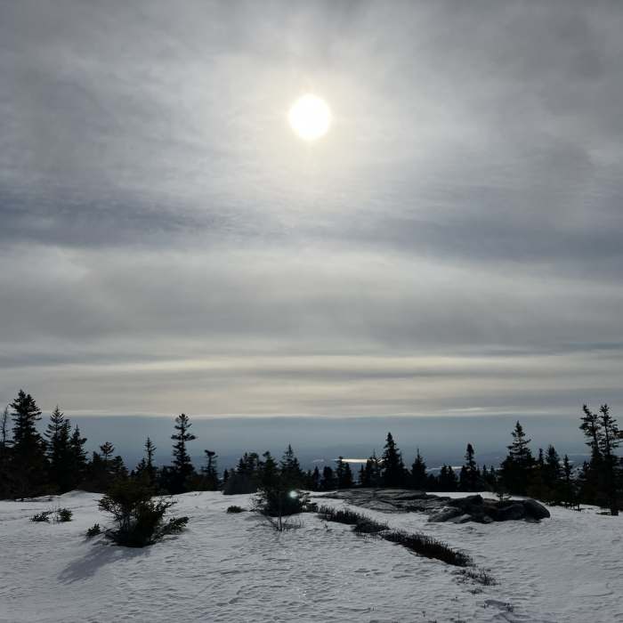
This trail starts off the Baldface Circle Trail, and heads west. It, immediately, crosses over a brook right at the split, off Baldface Circle Trail. In roughly 0.2 miles, the trail enters the WMNF; this is also the Carroll County/ Coos County Boundary. The trail climbs steadily up, along the ridge between the brooks. There's an area that suffers from heavy erosion, and has been relocated; please use this relocation instead of the old trail. The trail continues past Eagle Cascade Link (on the right), and begins to traverse the exposed ridgetop. The trail continues another 0.2 miles after the Alpine Zone sign.
No Condition Reports
Caribou Mountain Loop
Caribou Mountain Loop
Carter Dome Loop via Bog Brook Trail
Carter Dome Loop via Bog Brook Trail
Carter Dome Via Nineteen Mile Brook
Carter Dome Via Nineteen Mile Brook
Pinkham Notch to Mount Washington Summit
Pinkham Notch to Mount Washington Summit
Mount Washington via Tuckerman Ravine Trail
Mount Washington via Tuckerman Ravine Trail
Caribou Mountain via Bog Brook
Caribou Mountain via Bog Brook
Contributors

