Ready to explore this trail?
View Trail Map in AppRegional Classic
A must do route for the area handpicked by local experts.
No permits or parking fees are required for day hikes. Route 113 (Evans Notch Road) is closed seasonally to vehicles from late November through mid-May.
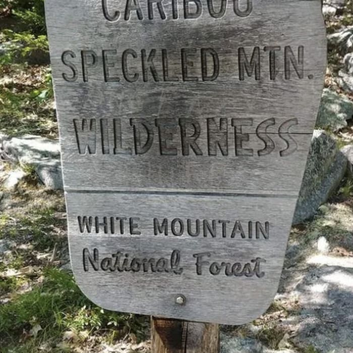
Wilderness regulations apply within the Caribou-Speckled Mountain Wilderness.
Path Type
Loop
The route begins and ends at the Caribou West/Mud Brook Trailhead on Route 113, after reaching the summit of Caribou Mountain.
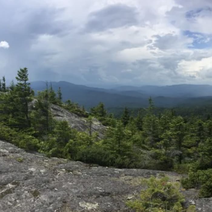
Head southeast on the Mud Brook Trail, hiking along the stream and crossing over Mud Brook at around 1.5 miles. Around 1.8 miles, the route begins climbing steeper through the northern hardwood forest, until reaching the exposed ridge around 2.9 miles. Reach the open summit of Caribou Mountain at 3.1 miles.
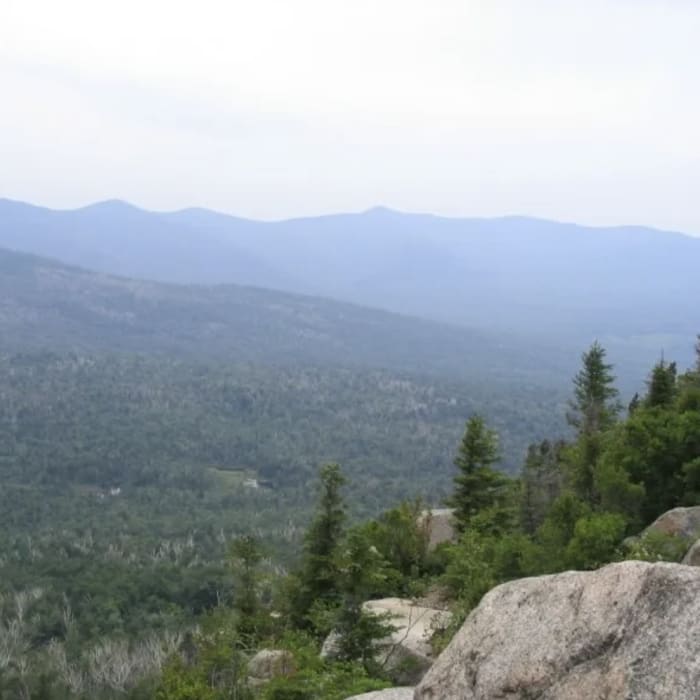
From the summit, continue following the Mud Brook Trail east and then north across the rocky terrain and open granite slabs, until reaching the junction with the Caribou Trail at 3.6 miles. Turn left to head west and begin descending on the Caribou Trail. At 4.6 miles, pass by Kees Falls on the left. Around 5.5 miles, cross over Morrison Brook.
Continue following the Caribou Trail as it descends steadily along the stream, until reaching the trailhead to complete the loop.
No Condition Reports
Caribou Mountain via Bog Brook
Caribou Mountain via Bog Brook
Gentian Pond Out and Back
Gentian Pond Out and Back
Mt. Crag
Mt. Crag
Riverside Pathway
Riverside Pathway
Contributors

